
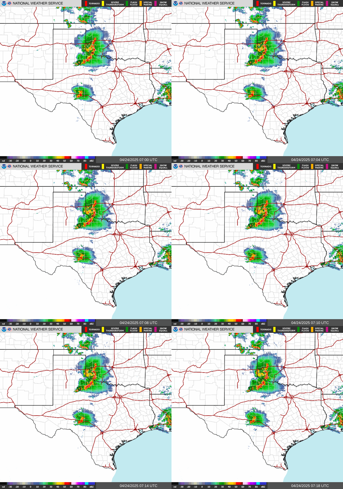
Heavy to excessive rainfall will continue through tonight from the Texas Big Bend region into southern Oklahoma. Scattered damaging wind gusts and a few tornadoes may accompany a line of severe thunderstorms that is expected across the Mid-Atlantic into New England Friday. A Typhoon Watch continues for Guam and CNMI as Tropical Storm Champi will strengthen and approach the islands this weekend. Read More >
|
wwamap
|
wwacolors
|
 |
|
| No active Tornado Warnings |
None
| No active SevereThunderstorm Warnings |
| No active Flash Flood Warnings |
None
None
None
None
None
None
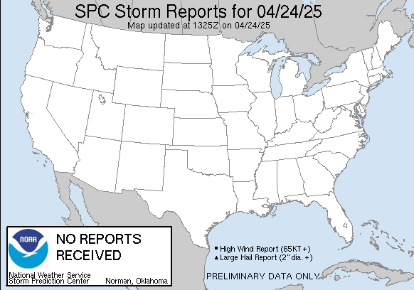
| SnowAccum reports weather.gov/crh/lsrsnow?sid=tsa |
| NOAA/NOHRSC Snow Information |
| Estimated Snow Accumulation Image |
 |
|
 |
 |
 |
 |
 |
 |
| Decision Support | Winter | Hazards | Observations | Climate | Hydrology |
 |
 |
 |
 |
 |
 |
| Social Media | Satellite | Fire Weather | Weather Radio | Spotter Training | Text Products |
 |
|||||
| Models | |||||





 Follow us on X
 Follow us on Facebook
 Follow us on YouTube
 TSA RSS Feed