National Weather Service United States Department of Commerce

Storm Impacting the Southwest U.S.

A slow moving weather disturbance will continue to bring periodic rain showers, a few isolated thunderstorms, and a localized flash flooding across the Southwest. The threat will expand into the Southern Plains Wednesday night. Moderate to heavy snow across the Sierra Nevada and southern Utah Ranges will continue into the overnight period. Read More >

Click a location below for detailed forecast.

Last Map Update: Tue, Nov 18, 2025 at 9:00:15 pm PST

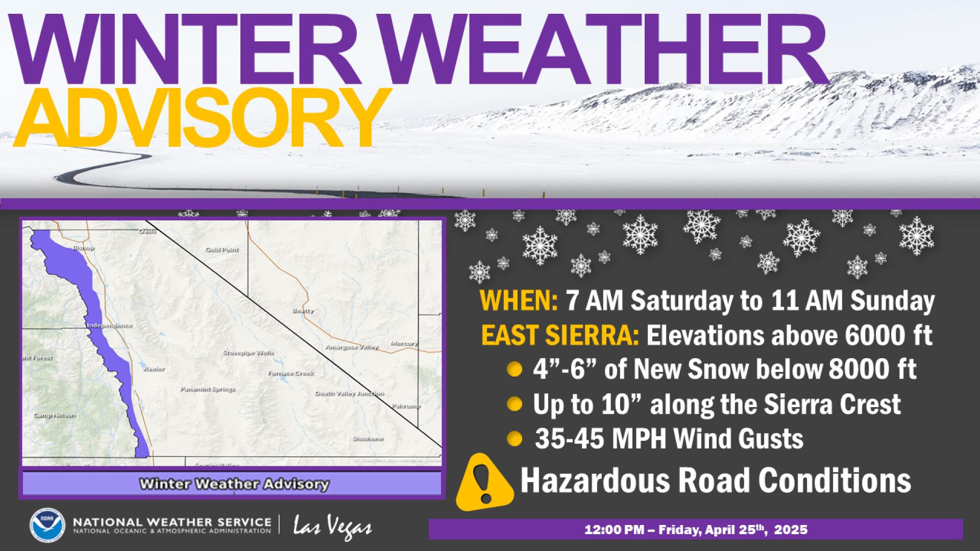
Winter Weather Advisories for area mountains above 6000 feet have been upgraded to Winter Storm Warnings, with start times pushed back 6 to 12 hours. Snow total accumulations have significantly increased for Lida Summit, the Spring Mountains, and the Sheep Range. Travel will be dangerous along California State Route 168, Nevada State Route 266, and Nevada State Routes 156 and 157.
Heads up! Another round of heavy rain is on the way which could lead to localized flooding. Be mindful of flood sensitive basins, washes, and be prepared to seek higher ground if you encounter flood waters.