
Heavy rain and widely scattered severe storms capable of large hail, damaging winds, and possibly a tornado are expected over portions of the central and southern Plains into the Lower Missouri Valley. Unseasonable warmth will continue for a few more days across the Midwest and Southeast where several daily record highs could fall. Read More >
Last Map Update: Tue, Oct 13, 2026 at 1:51:01 pm PDT


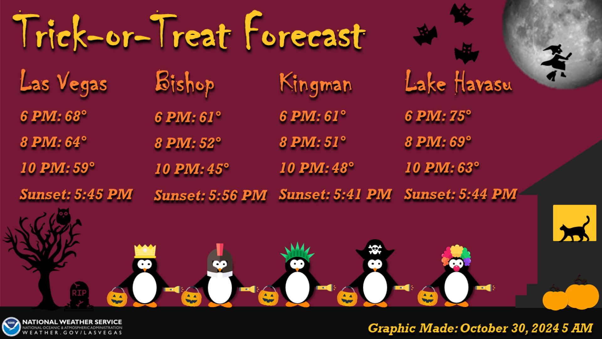





 Graphical Forecast
 Satellite
 Las Vegas Radar
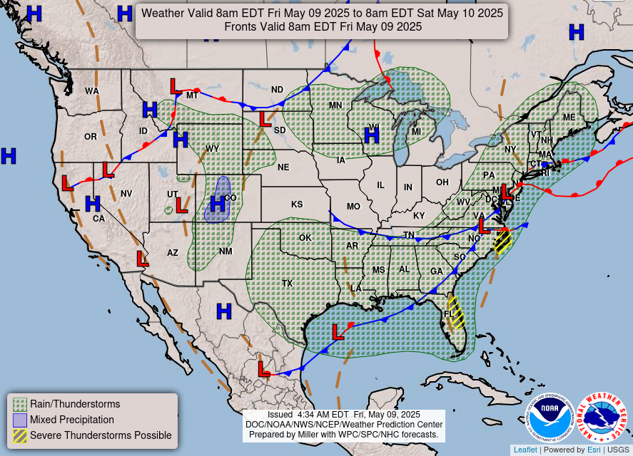 Current Weather Map
 Climate
 Recreation Forecasts
 Harry Reid Forecast
 Weather Stats
 Follow us on X
 Follow us on Facebook
 Follow us on YouTube
 VEF RSS Feed