
A slow moving front will produce a threat for heavy rainfall and severe weather from the southwest into the western High Plains through the weekend. Heavy rainfall and isolated flash flooding and gusty winds will be possible this weekend into early next week in portions of southern Florida. Coastal flooding impacts remain possible through the weekend along the Southeast and Mid-Atlantic coasts Read More >
 |
AREA 1 |
AREA 2 |
AREA 3 |
AREA 4 |
AREA 5 |
AREA 6 |
AREA 7 |
|
Lo Sectors Hi Sectors UH Sectors TRACONs Icing: Lo Sectors Hi Sectors UH Sectors TRACONs CIG/VIS: METARs By Sector TRACONs PIREPs: |
|
Plotted Pireps are updated every 5 minutes, for all flight levels and include Pireps from 2 hours previous.
Click on the PIREP icons to get more information.
The map is displaying PIREPs using the following icons:
|
|
|
|
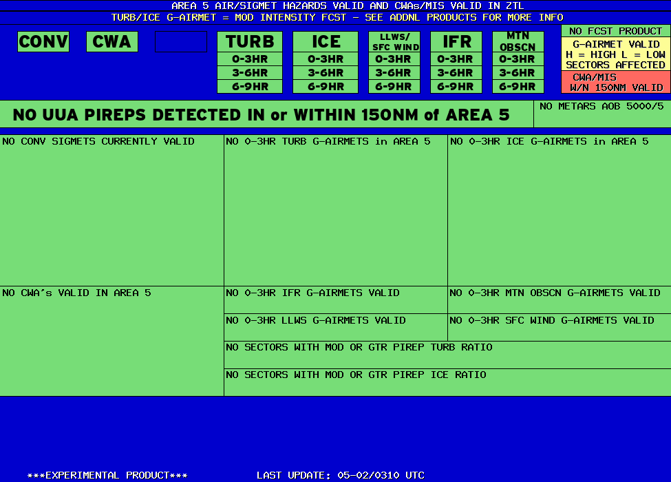
AREA 5 HAZARDS BY SECTOR |
BASED ON SIGMETS/CWAS VALID WITHIN 150NM of SECTOR and LEGACY AIRMETS VALID WITHIN SECTOR |
 |





