National Weather Service United States Department of Commerce

Tropical Moisture Brings Heavy Rain to Southwest; Strong Coastal Low to Impact the East Coast

Deep tropical moisture surging into the Southwest U.S. will lead to widespread showers and thunderstorms capable of producing flash flooding the next several days. A strong coastal low will develop late Friday and is expected to bring flooding, high surf, dangerous rip currents, gusty winds and heavy rain to much of the U.S. East Coast through early next week. Read More >

Click a location below for detailed forecast.

Last Map Update: Fri, Oct 10, 2025 at 5:06:15 am EDT

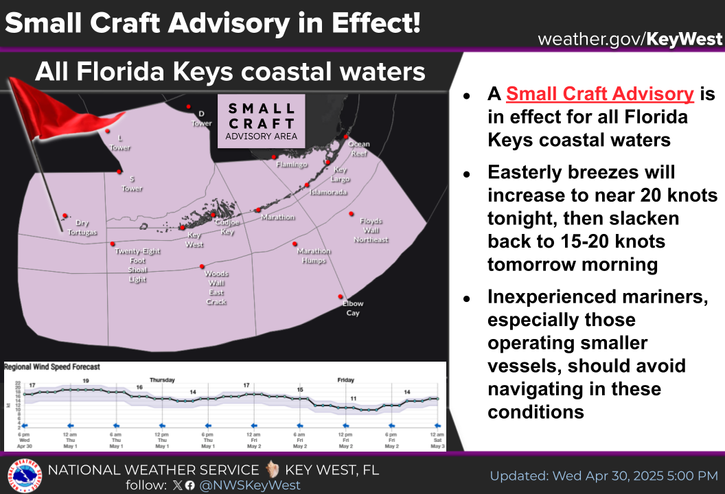
A Coastal Flood Advisory is in effect for all Florida Keys!

Saltwater flooding of low elevation streets and lots is expected. Some storm drains will overflow, and some seawalls and docks will be overtopped. Boaters can expect less clearance under fixed bridges. Motorists should remember that persistent puddles around the times of high tide are almost certain to contain a mix of saltwater. Little improvement is expected at low tide in the Upper Keys.
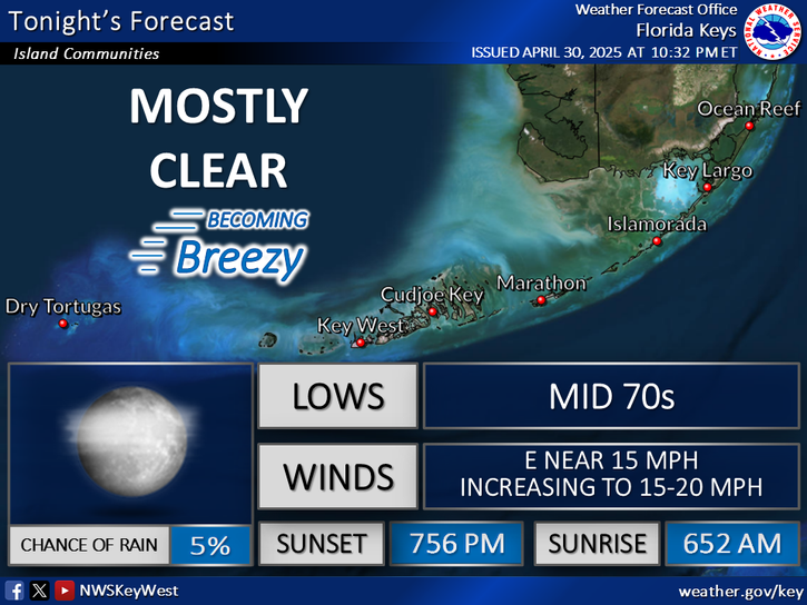
High Chance of Rain Today, Drying Out by Sunday...Coastal Flood Advisory for all Florida Keys. Rain chances peak near 90% today, then steadily decrease through the weekend. A Coastal Flood Advisory continues for all Florida Keys due to King Tides. Bouts of heavy rain occurring around high tide may exacerbate flooding issues. Marine breezes will be SE-S and light to gentle today, becoming SW and gentle to moderate tomorrow, then decreasing and veering to the NW by Sunday.
COASTAL FLOOD ADVISORY IS IN EFFECT FOR ALL FLORIDA KEYS!
TODAY... Showers with a chance of thunderstorms. Highs in the mid 80s. Southeast to south winds near 5 mph, becoming south to southwest and increasing to 5 to 10 mph. Chance of rain 90 percent.
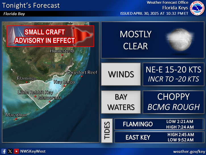
TODAY... SE-S light to gentle breezes becoming S-SW, except E gentle breezes becoming variable and light to gentle in the outer Gulf. Bay/Nearshore waters smooth , becoming smooth to a light chop in Florida Bay. Seas around 1 ft for nearshore waters, except 1 to 2 ft west of Marquesas Key / Cosgrove Shoal Light; In the Florida Straits, 1 to 3 ft; In the outer Gulf, 1-2 ft. Widespread showers and isolated thunderstorms. Higher High Tides: Mariners should expect less clearance under fixed bridges.


Text Product Selector
(Selected product opens in a new window) 


Sunrise & Sunset

Sunrise & Sunset


Moon Rise & Set

Moon Rise & Set


Moon Illumination

Moon Illumination


Tide Information

Tide Information


Tropical

Tropical


Coastal Flooding

Coastal Flooding


Tallship

Marine


Nearshore Waves

Wave Prediction


Thumbnail for a local waterspouts website, showing 4 waterspouts.

Waterspouts


Airplane

Aviation


Key West & Marathon Climographs 2020

Climographs


Tropical

Forecast Discussion


NOAA Weather Radio

NOAA Weather Radio