Seasonal temperatures are in the forecast for the first half of the week with highs in the 60s to around 70 degrees. A dry cold front moving through this morning will lead to breezy conditions along the Lower Colorado River Valley. A cold weather system will move through the Four Corners region in the middle of the week that will cool temperatures down below normal for the end of the week and bring another round of breezy conditions for the Lower Colorado River Valley. Low temperatures for higher terrain communities will drop into the 30s.


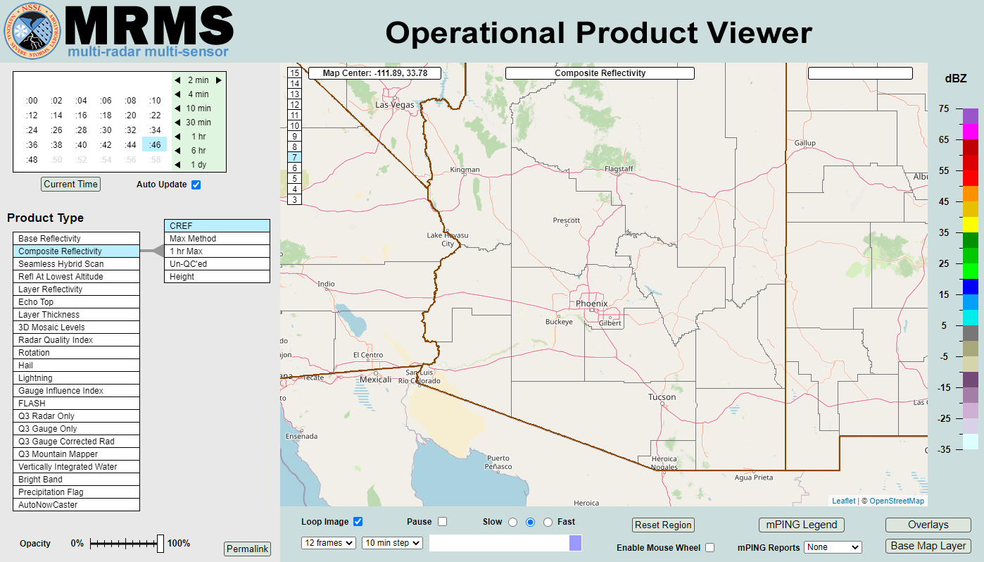 MRMS Radar Imagery
 Phoenix Radar
 Yuma Radar
 Regional Satellite
 GOES-19 Satellite
.PNG) Weather & Hazards Data Viewer
Weather & Hazards Data Viewer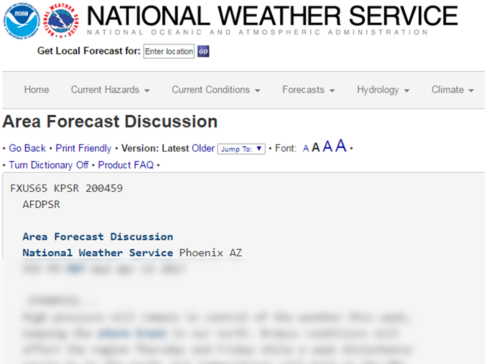 Forecast Discussion
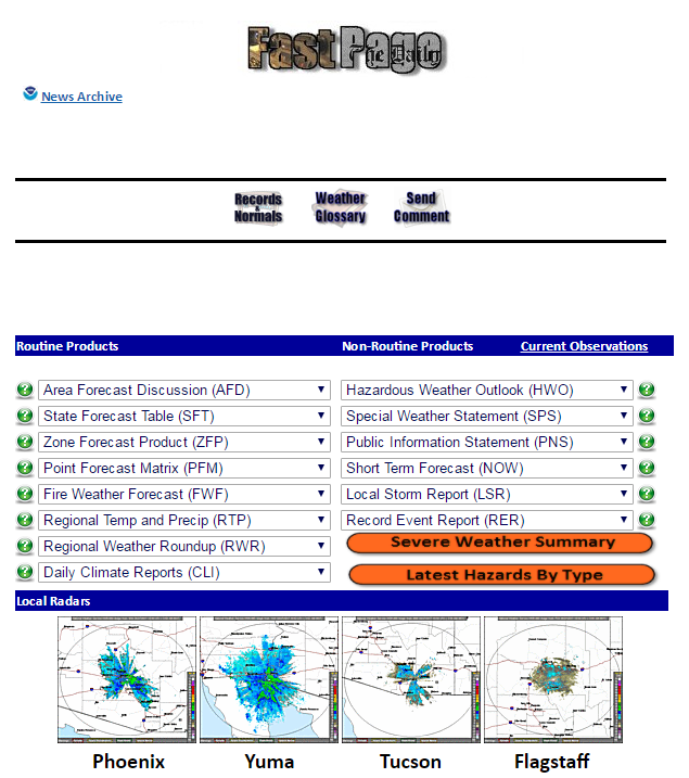 Fast Page
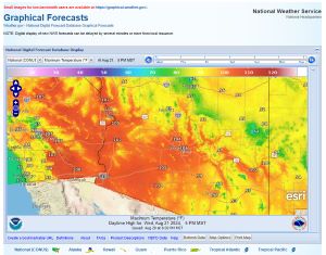 Local Graphical Forecast
 Drought Monitor
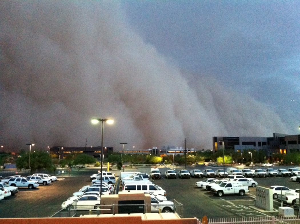 Monsoon Tracker
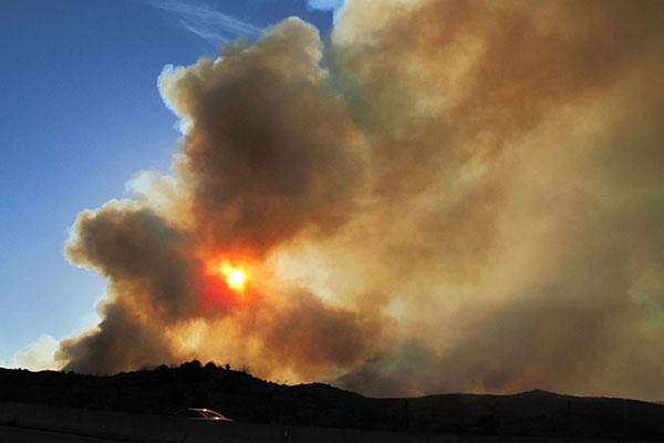 Fire Weather
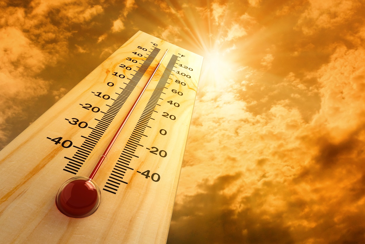 Heat
Heat Experimental Graphical HWO
 SPC Outlooks
 Hurricane Outlook
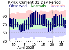 Local Climate Information
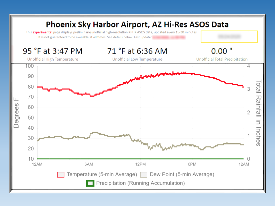 Hi-res KPHX ASOS Data