
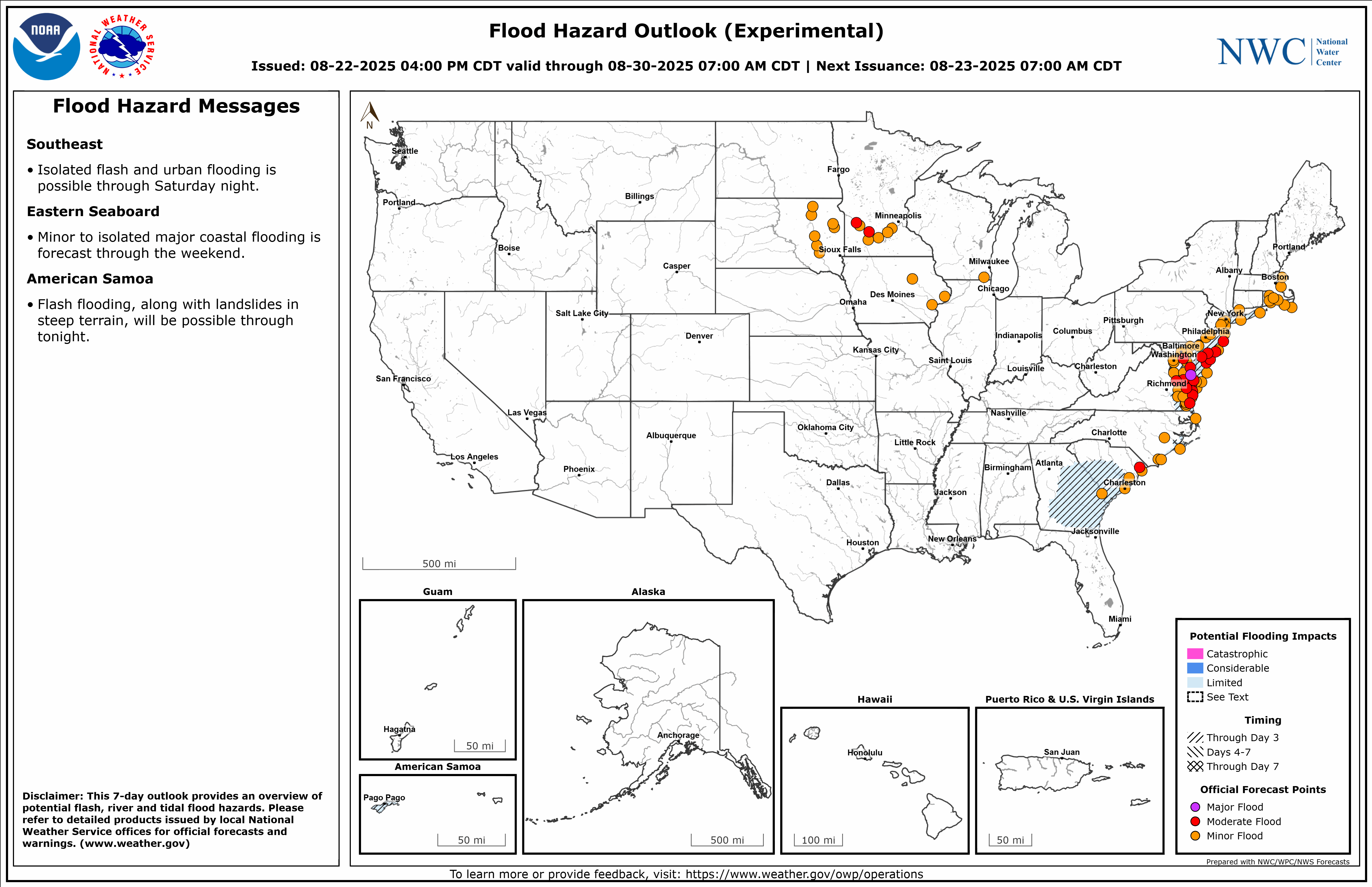
A cold front will cross the Great Lakes and Northeast U.S. through Monday with gusty winds and areas of rain showers. A strong atmospheric river is expected to move into the Pacific Northwest by midweek bringing a threat for moderate to heavy rainfall, gusty winds, and mountain snows for parts of Washington, Oregon, northern California, and the Sierra Nevada. Read More >
Albany, NY
Weather Forecast Office
Quantitative Precipitation Forecasts --- Probabilistic Precipitation Guidance Days 1-3
Ensemble River Forecasts: Map Graphics & Probability of Exceeded Tables
|
|
|
 |
|
| River Observations/Forecasts | Significant River Flood Outlook | Flood Hazard Outlook | Heavy Rainfall Discussion |
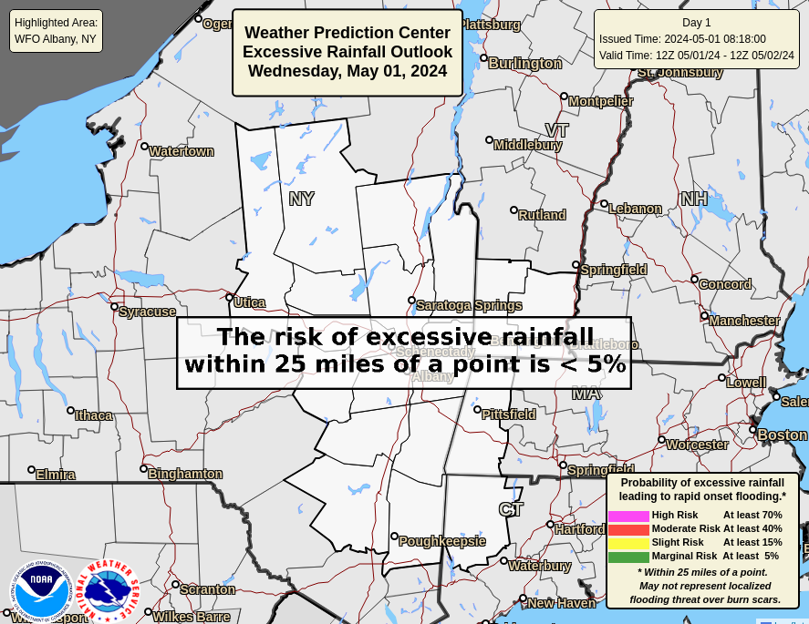
Excessive Rainfall Outlooks & Discussion --- Excessive Rainfall Risk Categories
 |
 |
 |
 |
 |
| Day 1 ERO Outlook | Day 2 ERO Outlook | Day 3 ERO Outlook | Day 4 ERO Outlook | Day 5 ERO Outlook |
|
|
|
|
|
| Snow Depth | Snow Water Equivalent | Estimated Snow Melt Past 24 hrs |
Forecast Models
Models Guidance
Statistical Models
Mesoscale Analysis
ENSO Conditions
Teleconnections
Safety
Wireless Emergency Alerts
Connecticut Alerts
New York Alert
Mass.gov Alert
Vermont Alert
Safety Campaigns
StormReady
Weather-Ready Nation Ambassadors
NWS Aware Report
Report Weather Radio Outage
US Dept of Commerce
National Oceanic and Atmospheric Administration
National Weather Service
Albany, NY
ETEC - National Weather Service
1400 Washington Avenue
Albany, NY 12222
518-626-7570
Comments? Questions? Please Contact Us.


