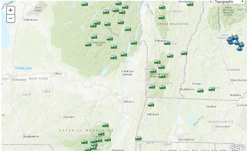
Click to access mountain forecast page
274
SXUS41 KALY 230034
RECALY
Recreational Forecast
National Weather Service Albany NY
834 PM EDT Wed Jul 22 2026
NYZ042-043-041-049>052-083-084-230400-
Lake George-
834 PM EDT Wed Jul 22 2026
...Lake George Recreational Forecast...
.THURSDAY...
Max Temperature...In the mid 70s.
Min Temperature...
Average Dew Points...In the lower 50s.
Minimum Humidity...35 TO 45 percent.
Wind...West up to 5 knots.
Weather...Dry.
Lightning...No Lightning expected.
.THURSDAY NIGHT...
Max Temperature...
Min Temperature...In the lower 50s.
Average Dew Points...In the mid 50s.
Minimum Humidity...35 TO 45 percent.
Wind...Northwest up to 5 knots.
Weather...Dry.
Lightning...No Lightning expected.
.EXTENDED...
.FRIDAY...Mostly clear. Lows around 60. Highs around 80.
.SATURDAY...Partly cloudy. Lows in the lower 60s. Highs in the lower
80s.
Lake George`s water temperature at Warner bay is 72 degrees.
$$
NYZ039-041-050-082-230400-
Great Sacandaga Lake-
834 PM EDT Wed Jul 22 2026
...Great Sacandaga Lake Recreational Forecast...
.THURSDAY...
Max Temperature...In the lower 70s.
Min Temperature...
Average Dew Points...In the lower 50s.
Minimum Humidity...45 TO 55 percent.
Wind...West up to 5 knots.
Weather...Dry.
Lightning...No Lightning expected.
.THURSDAY NIGHT...
Max Temperature...
Min Temperature...In the lower 50s.
Average Dew Points...In the lower 50s.
Minimum Humidity...45 TO 55 percent.
Wind...Northwest up to 5 knots.
Weather...Dry.
Lightning...No Lightning expected.
.EXTENDED...
.FRIDAY...Mostly clear. Lows in the upper 50s. Highs in the mid 70s.
.SATURDAY...Partly cloudy. Lows in the upper 50s. Highs in the upper
70s.
$$
NYZ032-033-082-038>043-048-049-083-084-230400-
Southern Adirondacks-
834 PM EDT Wed Jul 22 2026
...Southern Adirondacks Recreational Forecast for elevations above 2500 feet...
.THURSDAY...
Max Temperature...In the upper 60s.
Min Temperature...
Average Dew Points...In the mid 40s.
Minimum Humidity...45 TO 55 percent.
Wind...West up to 10 knots.
Weather...Dry.
Lightning...No Lightning expected.
.THURSDAY NIGHT...
Max Temperature...
Min Temperature...In the upper 40s.
Average Dew Points...In the mid 40s.
Minimum Humidity...45 TO 55 percent.
Wind...West up to 5 knots.
Weather...Dry.
Lightning...No Lightning expected.
.EXTENDED...
.FRIDAY...Mostly clear. Lows in the mid 50s. Highs in the lower 70s.
.SATURDAY...Partly cloudy. Lows in the upper 50s. Highs in the mid
70s.
$$
VTZ013-014-230400-
Southern Green Mountains-
834 PM EDT Wed Jul 22 2026
...Southern Green Mountains Recreational Forecast for elevations above 2000 feet...
.THURSDAY...
Max Temperature...In the upper 60s.
Min Temperature...
Average Dew Points...In the mid 40s.
Minimum Humidity...45 TO 55 percent.
Wind...West up to 5 knots.
Weather...Dry.
Lightning...No Lightning expected.
.THURSDAY NIGHT...
Max Temperature...
Min Temperature...In the upper 40s.
Average Dew Points...In the upper 40s.
Minimum Humidity...45 TO 55 percent.
Wind...West up to 5 knots.
Weather...Dry.
Lightning...No Lightning expected.
.EXTENDED...
.FRIDAY...Mostly clear. Lows in the mid 50s. Highs in the lower 70s.
.SATURDAY...Mostly clear. Lows in the mid 50s. Highs in the upper
70s.
$$
NYZ058-063-230400-
Catskill Mountains-
834 PM EDT Wed Jul 22 2026
...Eastern Catskills Recreational Forecast for elevations above 2000 feet...
.THURSDAY...
Max Temperature...In the lower 70s.
Min Temperature...
Average Dew Points...In the mid 40s.
Minimum Humidity...35 TO 45 percent.
Wind...Northwest 5 to 10 knots.
Weather...Dry.
Lightning...No Lightning expected.
.THURSDAY NIGHT...
Max Temperature...
Min Temperature...In the mid 40s.
Average Dew Points...In the upper 40s.
Minimum Humidity...45 TO 55 percent.
Wind...Northwest up to 5 knots.
Weather...Dry.
Lightning...No Lightning expected.
.EXTENDED...
.FRIDAY...Mostly clear. Lows in the lower 50s. Highs in the mid 70s.
.SATURDAY...Partly cloudy. Lows in the lower 50s. Highs in the mid
70s.
$$
MAZ001-025-230400-
Berkshire Mountains-
834 PM EDT Wed Jul 22 2026
...Berkshires Recreational Forecast for elevations above 2000 feet...
.THURSDAY...
Max Temperature...Around 70.
Min Temperature...
Average Dew Points...In the upper 40s.
Minimum Humidity...45 TO 55 percent.
Wind...Northwest up to 5 knots.
Weather...Dry.
Lightning...No Lightning expected.
.THURSDAY NIGHT...
Max Temperature...
Min Temperature...Around 50.
Average Dew Points...In the upper 40s.
Minimum Humidity...45 TO 55 percent.
Wind...Northwest up to 5 knots.
Weather...Dry.
Lightning...No Lightning expected.
.EXTENDED...
.FRIDAY...Mostly clear. Lows in the mid 50s. Highs in the mid 70s.
.SATURDAY...Mostly clear. Lows in the upper 50s. Highs in the upper
70s.
$$
NYZ064-065-230400-
Mid Hudson Valley-
834 PM EDT Wed Jul 22 2026
...Mid Hudson River Recreational Forecast from Albany to Poughkeepsie...
.THURSDAY...
Max Temperature...In the upper 70s.
Min Temperature...
Average Dew Points...In the mid 50s.
Minimum Humidity...45 TO 55 percent.
Wind...North up to 5 knots.
Weather...Patchy fog.
Lightning...No Lightning expected.
.THURSDAY NIGHT...
Max Temperature...
Min Temperature...In the lower 50s.
Average Dew Points...In the mid 50s.
Minimum Humidity...45 TO 55 percent.
Wind...Null.
Weather...Patchy fog.
Lightning...No Lightning expected.
.EXTENDED...
.FRIDAY...Mostly clear. Lows in the upper 50s. Highs in the lower
80s.
.SATURDAY...Mostly clear. Lows in the upper 50s. Highs in the mid
80s.
The water temperature on the Hudson River at Albany is 51.
The water temperature on the Hudson River at Poughkeepsie is MM.
$$

