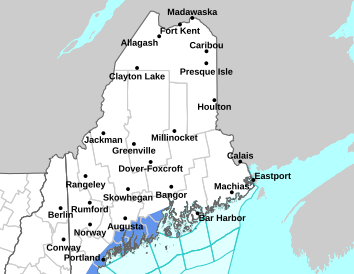
After some much needed rainfall yesterday, you may be wondering, is the drought over? Well, as Yogi Berra once famously said, "It ain't over till it's over". Although some areas received up to 2 inches of rainfall yesterday, most areas received 0.5 to 1 inch, with some areas receiving much less (mainly Interior Downeast). Since we are running 2 to 4 inches below normal across the area, yesterday's rainfall made a dent, but we're not out of the woods yet.
Dry conditions return today and will persist through Tuesday, with the possibility of showers returning on Wednesday. For the full forecast and updated rainfall amounts, visit www.weather.gov/car.
This general weather briefing slide is updated daily in the early AM hours before 7am (slide update time at bottom right of slide). It may not be updated as conditions change.For high-impact events, more detailed information will be provided via traditional decision support services.
This is the home page for emergency managers to do a self briefing. For information on a particular hazard, just click on the appropriate orange link above.


 Coastal Flood