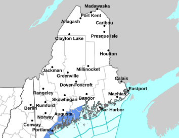
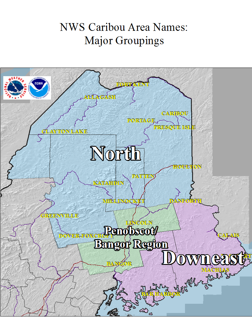
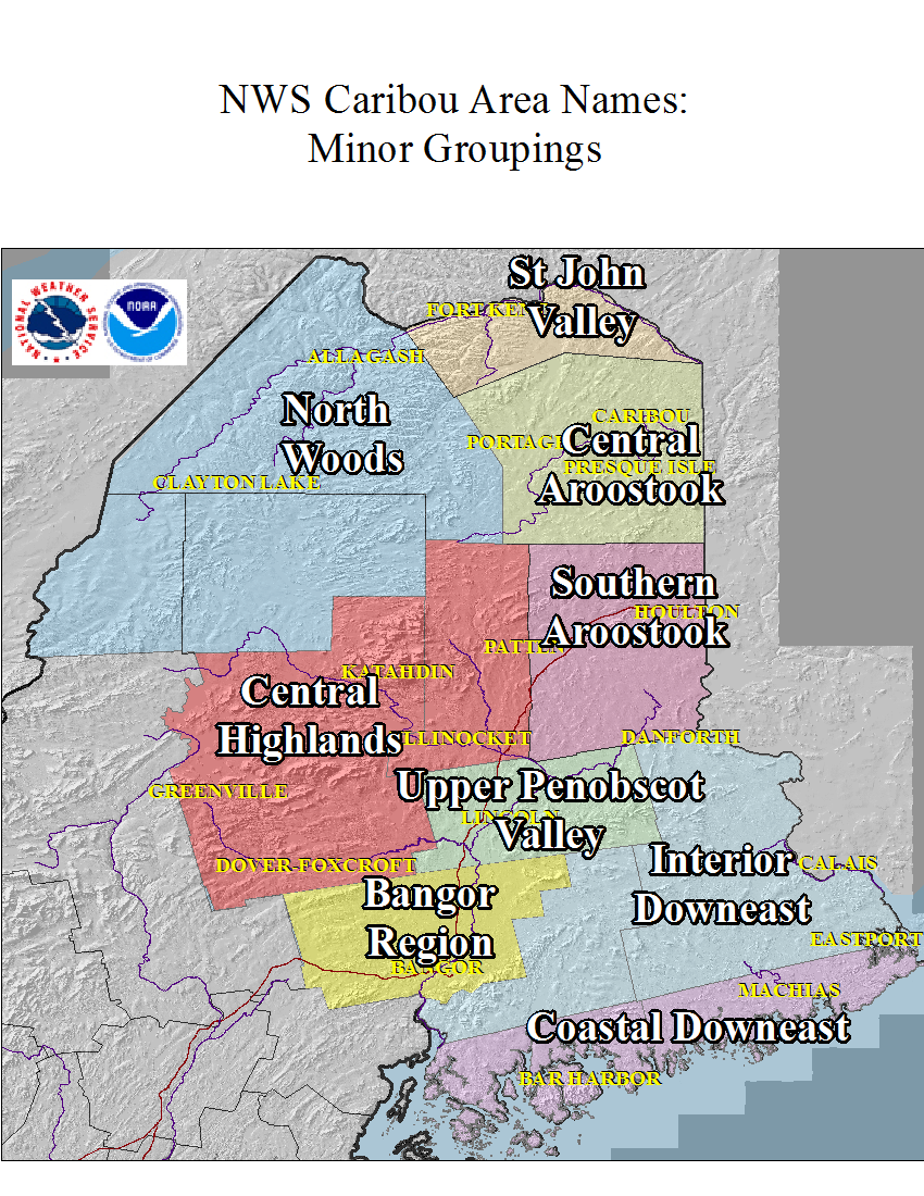
Good Morning. A Marginal Risk (Level 1 of 5) for severe weather exists primarily from Noon to 5PM across the Moosehead Lake region stretching south through Bangor Region and much of the Downeast, with strong, gusty winds being the primary hazard. Further north, areas including Caribou, Madawaska, Houlton, and Millinocket will experience patchy wildfire smoke through late Thursday afternoon. This smoke is a result of new wildfire development on the southeast side of Hudson Bay in the last 24-48hrs. This smoke will be less dense than it was on Tuesday and might limit thunderstorm development today especially in those northern regions. Looking ahead to the weekend, residents across the region can expect cooler temperatures accompanied by additional showers and a few storms. Latest forecast: www.weather.gov/car
This general weather briefing slide is updated daily in the early AM hours before 7am (slide update time at bottom right of slide). It may not be updated as conditions change.For high-impact events, more detailed information will be provided via traditional decision support services.
This is the home page for emergency managers to do a self briefing. For information on a particular hazard, just click on the appropriate orange link above.


 Coastal Flood