
Dangerous and extreme heat will remain across portions of the southern U.S. this week. Heavy rainfall may bring significant flash flooding across portions of the Mid-Atlantic and Northeast through the night, and additional flash flooding concerns across New England on Wednesday. Monsoonal thunderstorms will bring a flash flood risk to the Four Corners region, especially in burn scar areas Read More >

For Moderate/High/Extreme hazard risk, more detailed information will be provided via emailed briefings to core partners.
|
|
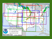
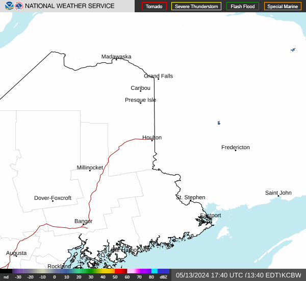
RadarWSR-88D Doppler Radar Northeast Sector | LoopNationwide | Loop
|
 |
Storm Prediction Center Overview Graphic / MapRadar of the contiguous United States with Storm Prediction Center (SPC) products - Day 1. |
Convection OutlooksConvective outlook for organized severe thunderstorms over the contiguous United States. |
 |
Current WatchesGraphic showing any severe thunderstorm and tornado watches which are in effect over the contiguous United States.
|
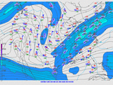
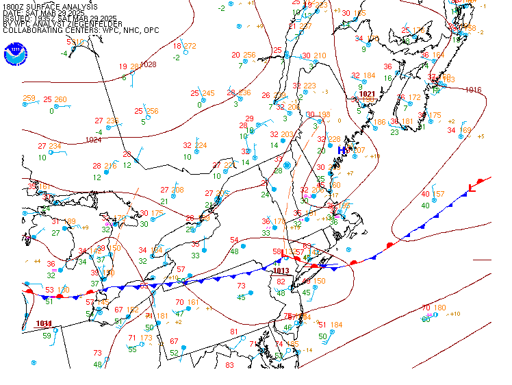
Surface AnalysisThe Weather Prediction Center (WPC) produces surface maps which depicts the analysis of highs, lows, fronts, troughs, outflow boundaries, squall lines, and drylines. |
 |
Mesoscale DiscussionsDescribe what is currently happening, what is expected in the next few hours, the meteorological reasoning for the forecast, and when / where SPC plans to issue the watch. |
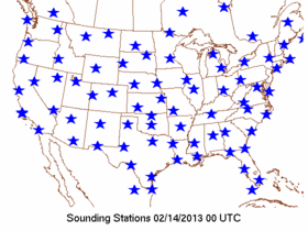 |
Upper Air SoundingsSkew-T charts for all observed soundings across the United States. An archive of seven days of data is available. |
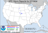
Storm ReportsThese reports are preliminary and are plotted and listed "as is" from NWS Local Storm Reports usually sent in realtime. |
 |
Forecast ToolsIncluding upper air maps, upper air soundings, mesoanalysis graphics, Short-Range Ensemble Forecast (SREF), High-Resolution Ensemble Forecast System (HREF) and Compmap. |
 |
Mesoscale AnalysisNine fixed regional sectors and a national sector provide hourly gridded mesoanalysis graphics across the CONUS. |
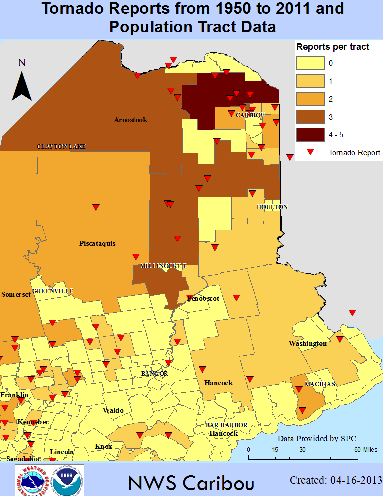 |
Severe Climatology MapsSevere climatology maps for Eastern Maine, including tornados, damaging wind, and hail. |


 Coastal Flood