
A second Pacific cold front will cross the Pacific Northwest Wednesday followed by another atmospheric river. Each of these features will bring additional periods of gusty winds, mountain snow, and heavy to excessive rainfall with renewed flooding. Heavy lake effect snow continues into Tuesday east of Lakes Erie and Ontario. Read More >
Hastings, NE
Weather Forecast Office
Observed Snowfall Maps
These maps should update daily by mid-morning. Please check timestamps in the bottom right of each image.
Data Source: NOHRSC
| 24 Hour | 48 Hour | 72 Hour |
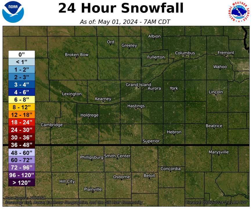 |
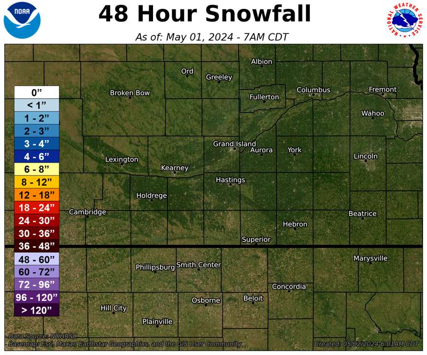 |
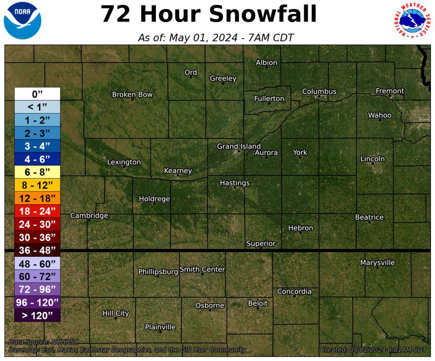 |
| Month To Date | 30 Day Total |
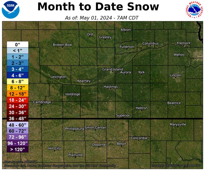 |
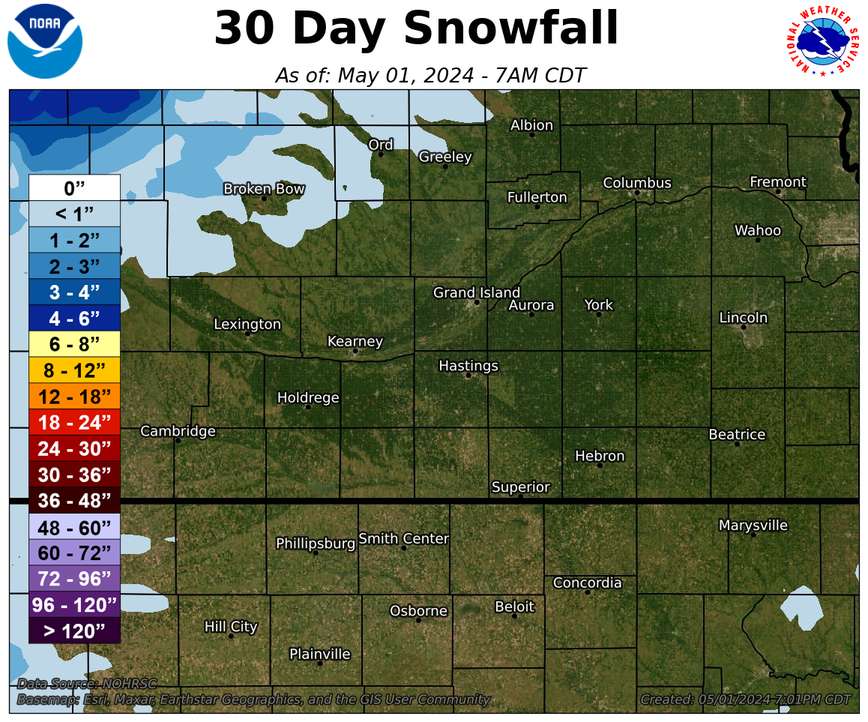 |
| Season Total Snow | Departure From Normal |
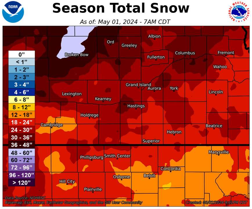 |
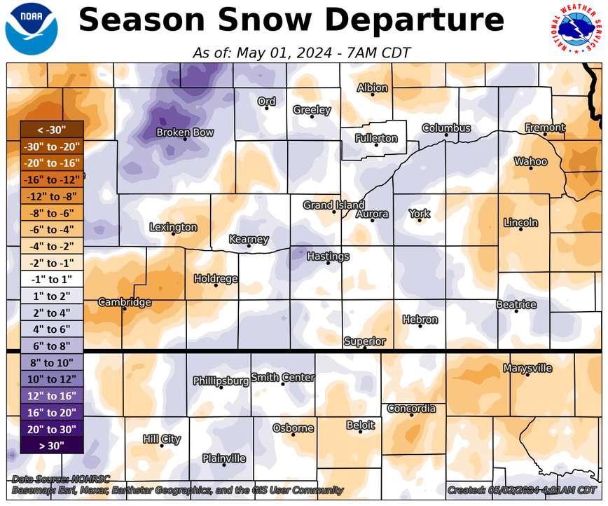 |
More Maps:
Archive of Monthly & Annual Precip Maps
Nebraska Statewide Precip/Snow Maps
Hazardous Weather
Submit A Storm Report
Storm Prediction Center
Local Storm Reports
Experimental Graphical Hazardous Weather Outlook
Forecasts
Area Forecast Discussion
Fire Weather
Aviation Weather Center
Experimental Probabilistic Precip Amount Forecast
Winter Weather
Winter Storm Severity Index
Experimental Winter Storm Outlook
Wet Bulb Globe Temp
Activity Planner
Current Conditions
Current Area Observations
Text Products
Satellite
Rivers and Lakes
Local 24 Hour Precip Maps
Local Archived Precip Maps
NWPS Precipitation Analysis
Local Snowfall Maps
Snowfall Analysis
Snow Cover
Climate
Local Database (NOWData)
Local Climate Webpage
Hastings/G. Island Records
Local Historical Tornado Info
U.S. Drought Monitor
Grand Island - Daily
Grand Island - Monthly
Hastings - Daily
Hastings - Monthly
Kearney - Daily
Kearney - Monthly
Ord - Daily
Ord - Monthly
US Dept of Commerce
National Oceanic and Atmospheric Administration
National Weather Service
Hastings, NE
6365 North Osborne Drive West
Hastings, NE 68901-9163
402-462-4287
Comments? Questions? Please Contact Us.

