
Numerous severe thunderstorms are expected across a broad region from the Ohio Valley to the Mid-Atlantic and Northeast States today into tonight. Swaths of damaging wind gusts are expected and some tornadoes are possible. Bertha is expected to bring tropical storm conditions to portions of the Gulf Coast from the Florida Panhandle westward to southeastern Louisiana later today and Wednesday. Read More >
Hastings, NE
Weather Forecast Office
Nebraska Precipitation & Snow Maps
These maps should update daily by mid morning. Please check timestamps in bottom right of each image.
Click images to expand.
Data Sources: National Weather Service AHPS and NOHRSC
| 24 Hour | 48 Hour | 72 Hour |
 |
 |
 |
| Last 7 Days | Last 30 Days | Last 90 Days |
 |
 |
 |
|
Percent of Normal Last 7 Days |
Percent of Normal Last 30 Days |
Percent of Normal Last 90 Days |
 |
 |
 |
|
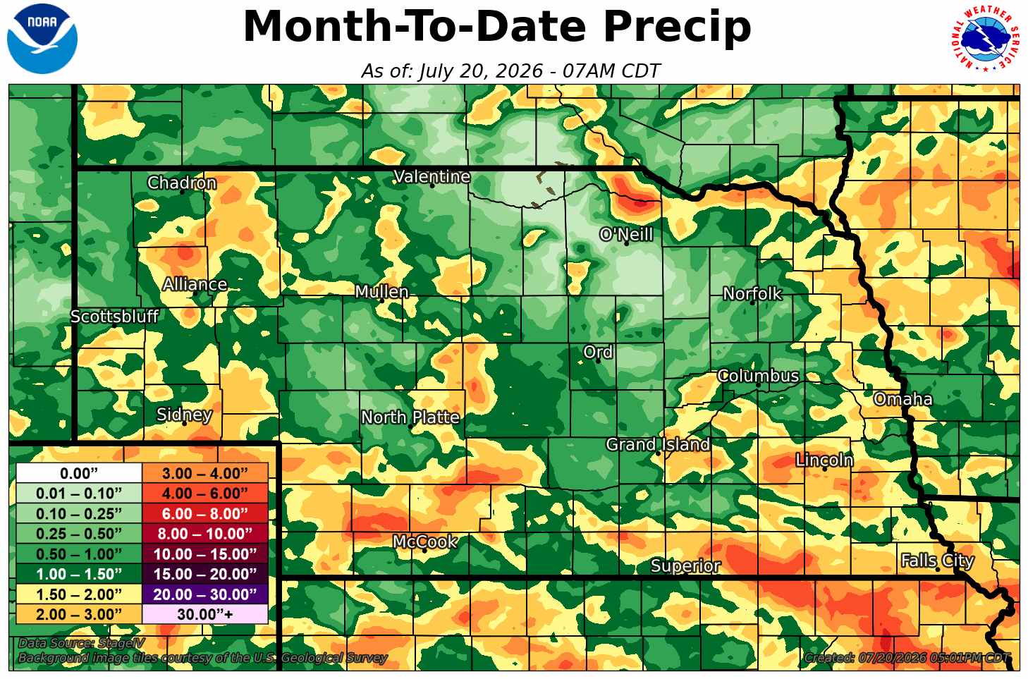
Month to Date |
Year to Date Percent of Normal |
Since October 1st Percent of Normal |
 |
 |
 |
| 24 Hour Snow | 48 Hour Snow | 72 Hour Snow |
 |
 |
 |
| Month To Date Snow | 30 Day Total Snow |
 |
 |
| Season Total Snow | Departure From Normal |
 |
 |
More Maps:
Archive of Monthly & Annual Precip Maps
NWS Hastings Area Precipitation Analysis
Hazardous Weather
Submit A Storm Report
Storm Prediction Center
Local Storm Reports
Experimental Graphical Hazardous Weather Outlook
Forecasts
Area Forecast Discussion
Fire Weather
Aviation Weather Center
Experimental Probabilistic Precip Amount Forecast
Winter Weather
Winter Storm Severity Index
Experimental Winter Storm Outlook
Wet Bulb Globe Temp
Activity Planner
Current Conditions
Current Area Observations
Text Products
Satellite
Rivers and Lakes
Local 24 Hour Precip Maps
Local Archived Precip Maps
NWPS Precipitation Analysis
Local Snowfall Maps
Snowfall Analysis
Snow Cover
Climate
Local Database (NOWData)
Local Climate Webpage
Hastings/G. Island Records
Local Historical Tornado Info
U.S. Drought Monitor
Grand Island - Daily
Grand Island - Monthly
Hastings - Daily
Hastings - Monthly
Kearney - Daily
Kearney - Monthly
Ord - Daily
Ord - Monthly
US Dept of Commerce
National Oceanic and Atmospheric Administration
National Weather Service
Hastings, NE
6365 North Osborne Drive West
Hastings, NE 68901-9163
402-462-4287
Comments? Questions? Please Contact Us.

