Hazard Assessment
|
Weather Map
|
Latest Radar
|
Latest Satellite
|
|
|
|
| Severe Weather |
 Convective Watches |
 Day 1 Convective Outlook |
 Day 2 Convective Outlook |
 Day 3 Convective Outlook |
| Excessive Rainfall |
 Excessive Rainfall Forecasts |
 QPF Forecasts |
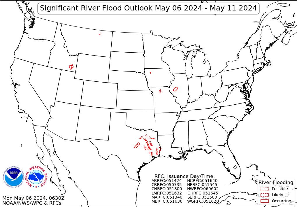 River Flood Outlook Forecasts |
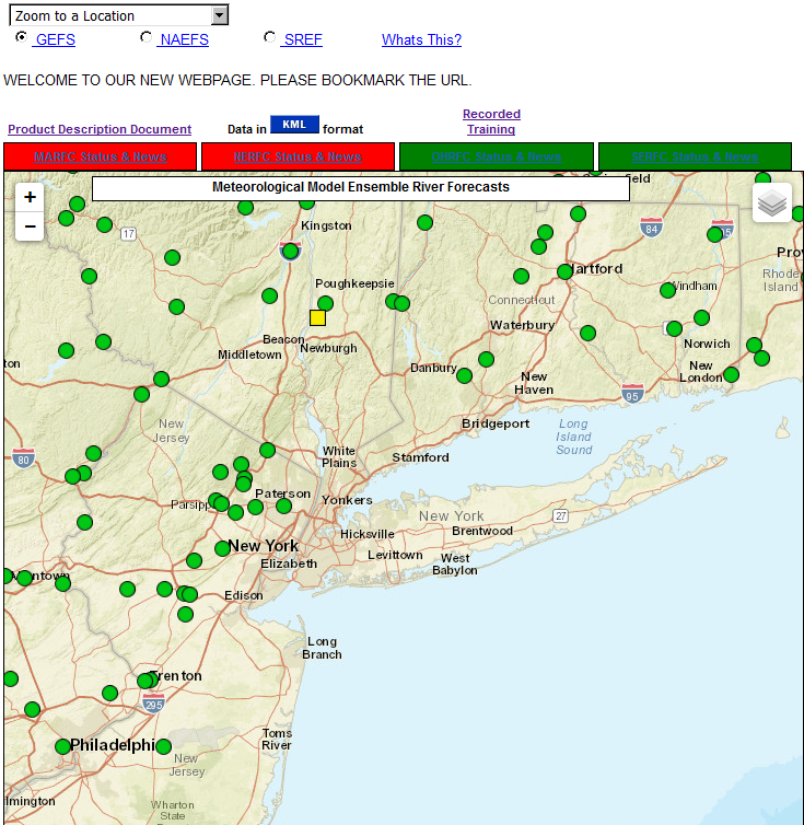 Ensemble River Forecasts |
| Tropical |
 2 Day Tropical Weather Outlook |
 5 Day Tropical Weather Outlook |
Tropical Atlantic IR Satellite |
 Exp Tropical Cyclone Hazards Graphics |
| Extreme Heat |
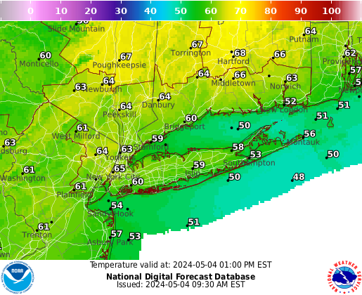 Day 1-3 Temperatures |
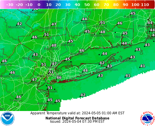 Day 1-3 Heat Indices |
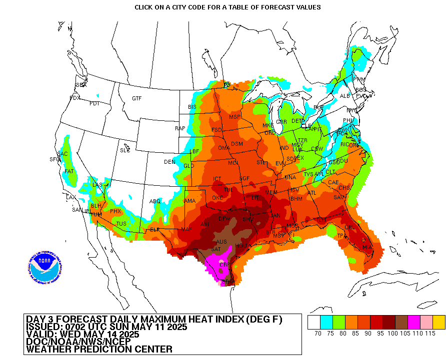 Day 3-7 Heat Indices Outlook |
 Day 6-10 Temperature Outlook |
|
|
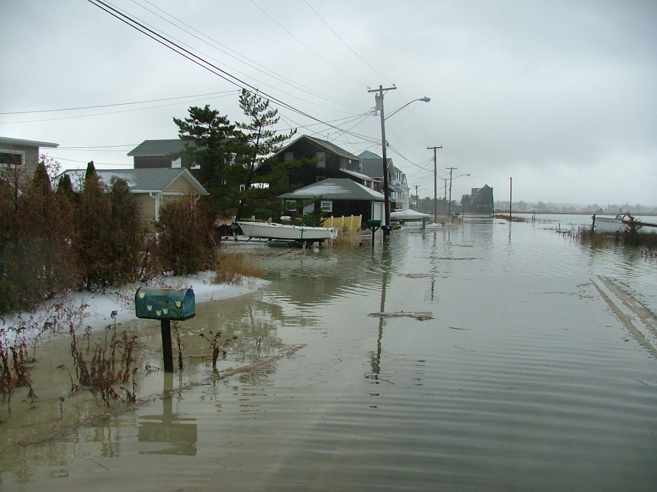 Coastal Flood |
 Extreme Heat |
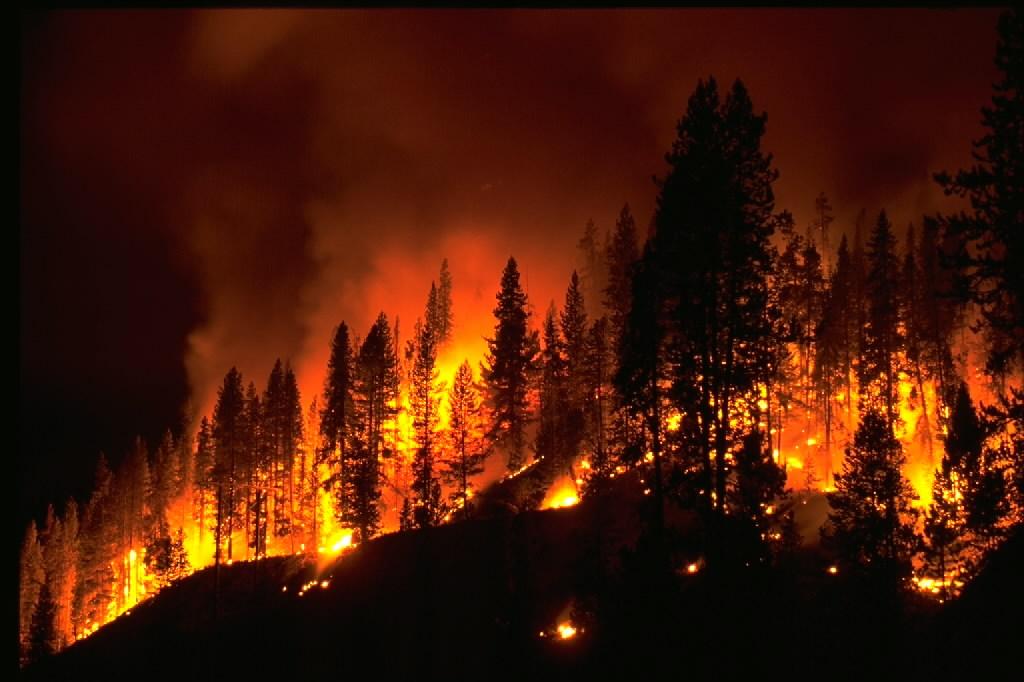 Fire Weather |
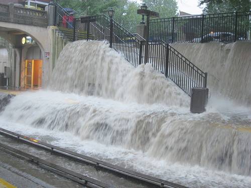 Flooding |
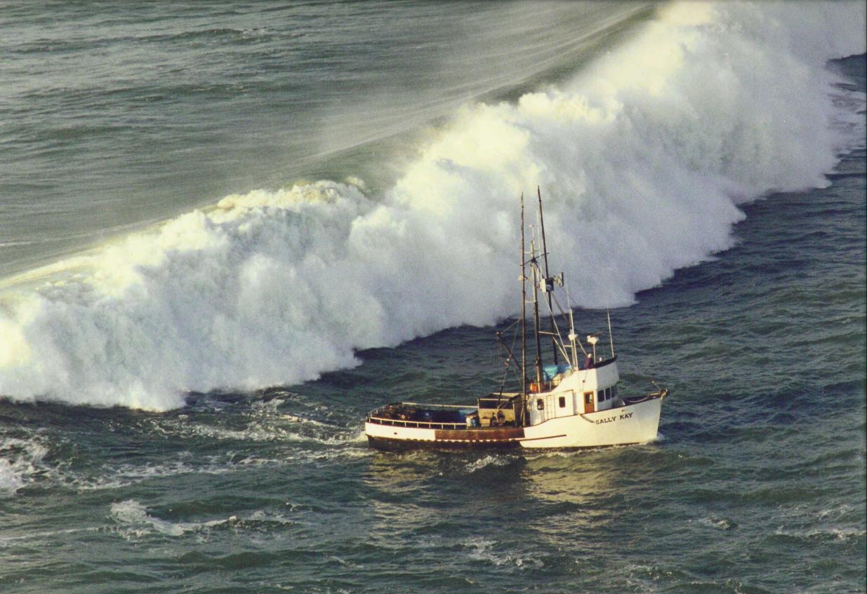 Marine |
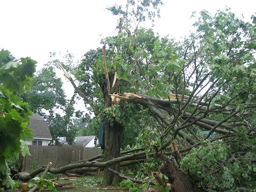 Severe Weather |
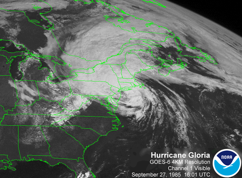 Tropical |
 Winter Weather |