Rainfall Potential for the next 72 Hours Only (from 8 AM or 8 PM )

 |
 |
 |
 |
 |
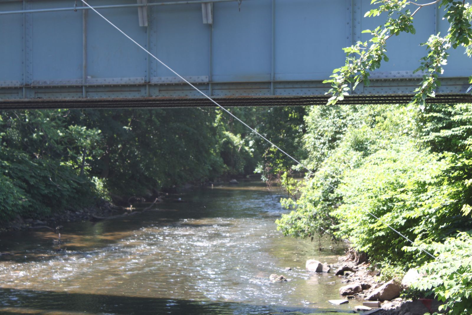
| Saddle River | Mahwah River | Yantic River | Wallkill River | Quinebaug River |
 |
 |
 |
 |
 |
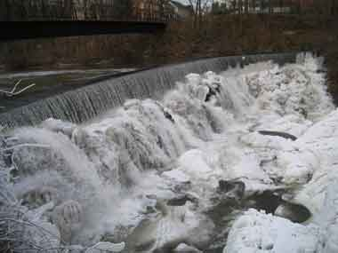
| Dundee Dam | Quinnipiac River | Molly Ann Brook | Bronx River | Peckman River |
| Hydrologic Products | River Forecast Centers & Guidance Products | Flood Preparedness | Drought & Water Supply Information | Other Hydrologic Links |
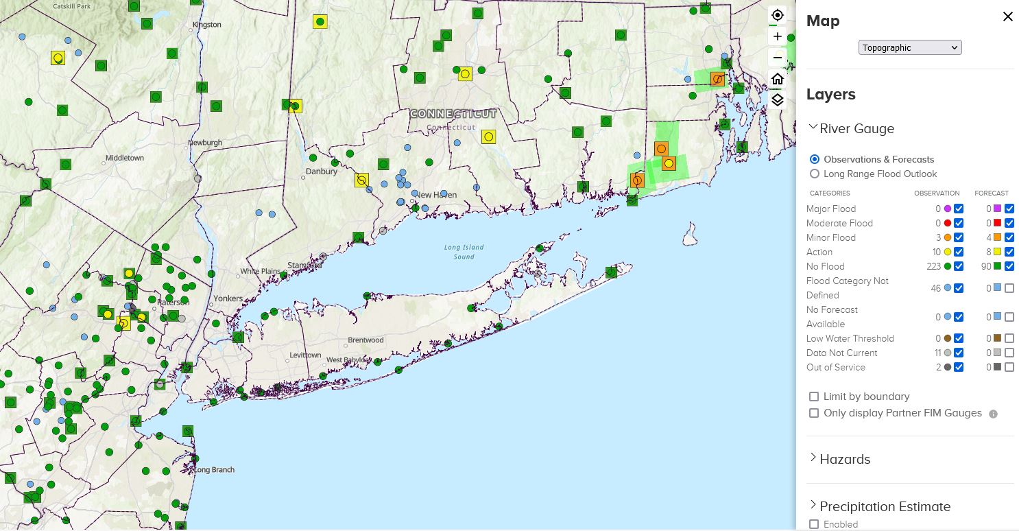
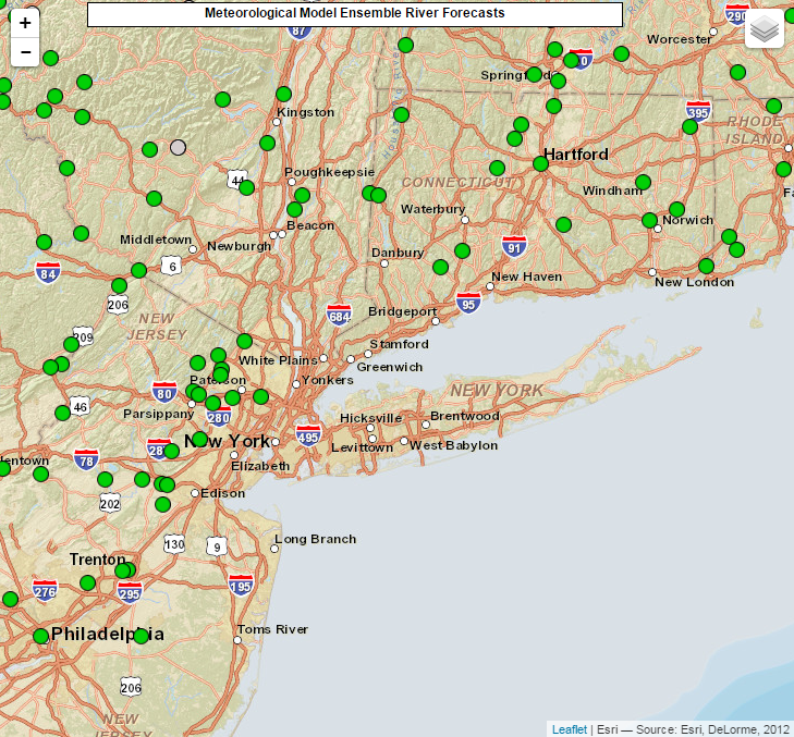
| National Water Prediction Service (NWPS) | Meteorological Model Ensemble River Forecasts (MMEFS) | Precipitation Analysis |
 |
 |
 |
| Quanitative Precipitation Forecasts | Excessive Rainfall Forecasts | National Operational Hydrologic Remote Sensing Center |
 |
 |
 |
| 6 Hour Precipitation and Snowfall Graphics | ||
| Winter/Spring Flood Potential Outlook | ||
| Statements, Watches, and Warnings Hover Over Product Type for Description |
|
| Flood Watch (FFA) | Latest Flood Watch |
| Flood Warning (FLW) | Latest Flood Warning |
| Flood Statement (FLS) | Latest Flood Statement |
| Flash Flood Warning (FFW) | Latest Flash Flood Warning |
| Flash Flood Statement (FFS) | Latest Flash Flood Statement |
| Other Current Hydrologic Products, Conditions, and Outlooks | |
| Polygon-Based River Flood Warnings | |
| Daily River and Lake Summary | |
| Daily Hydrometeorological Observations | |
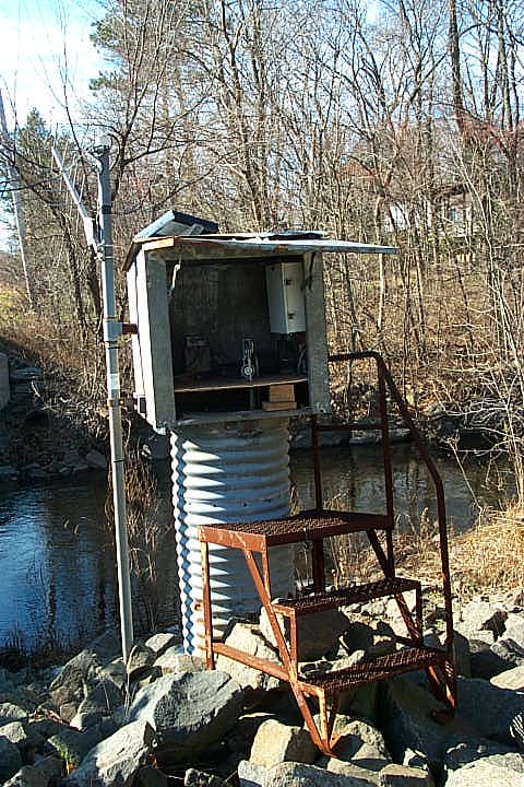
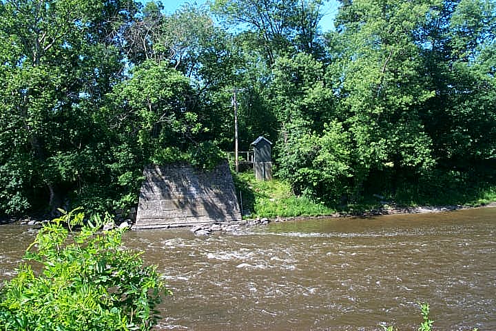
| Current Streamflow Conditions | |
| Flash Flood and Headwater Guidance | |
River Forecast Centers & Guidance Products


 Coastal Flooding