
Dangerous heat will expand from the Gulf Coast into the Southern Plains and Desert Southwest through week's end. Additional extreme heat impacting the Pacific Northwest will shift to the northern Plains by the weekend. Tropical Storm Bertha is expected to continue to impact portions of the northwestern Gulf Coast from south central Louisiana to the upper Texas coast today. Read More >
Last Map Update: Thu, Jul 23, 2026 at 4:26:17 am PDT
|
Text Product Selector (Selected product opens in current window)
|
|


 Social Media - Click to view more
 Elko Radar
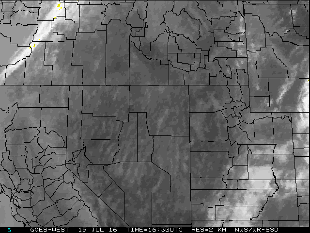 Regional Infrared Satellite Image
 National Weather Map - Click to enlarge
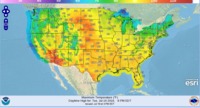 Gridded Forecast Image
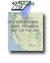 Forecast Weather Tables
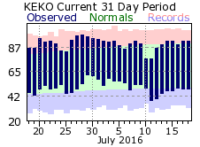 Recent LKN Temperatures
 Satellite-GOES
 Winter Weather
 Weather Stats