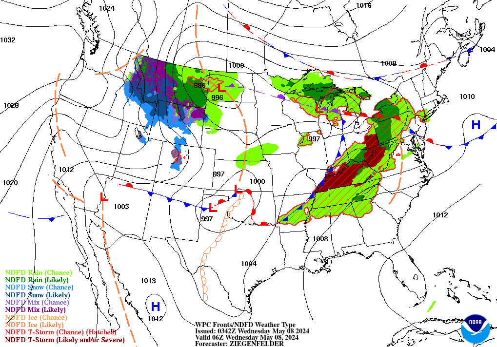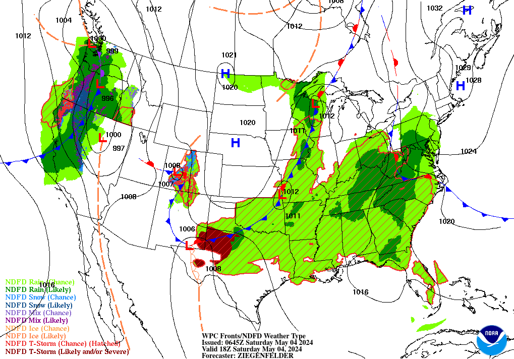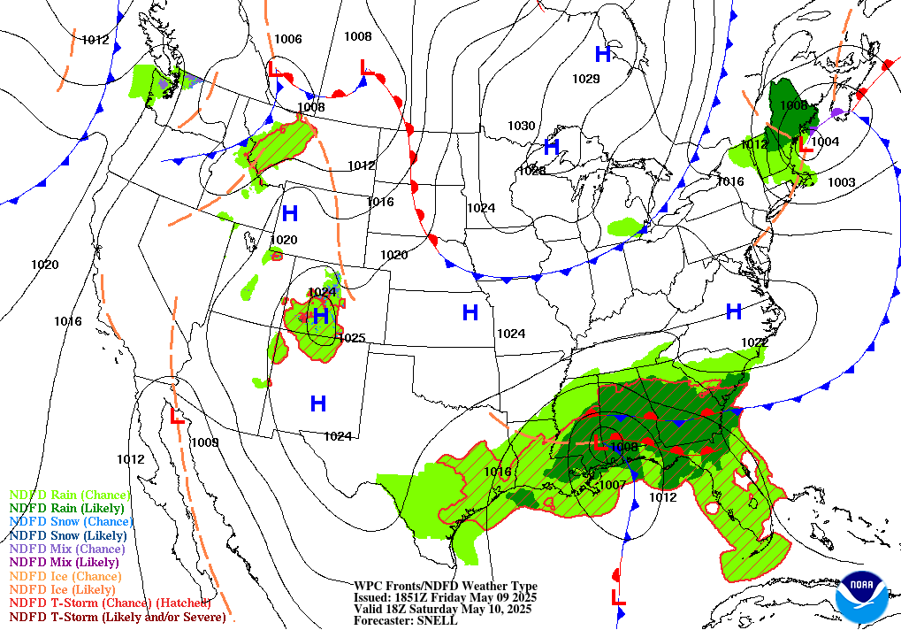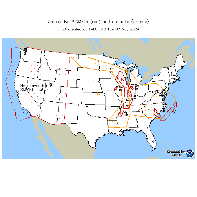
Severe thunderstorms are possible in portions of the central and southern Plains, and there is potential for flooding across Kansas. In the Pacific Northwest and northern California, there is potential for isolated flash flooding from thunderstorms near burn scars and sensitive terrain. Showers and heavy rain will persist in the Florida Peninsula through midweek. Read More >
Memphis
Center Weather Service Unit
| HSV TRACON Situational Awareness Display/Web Brief |
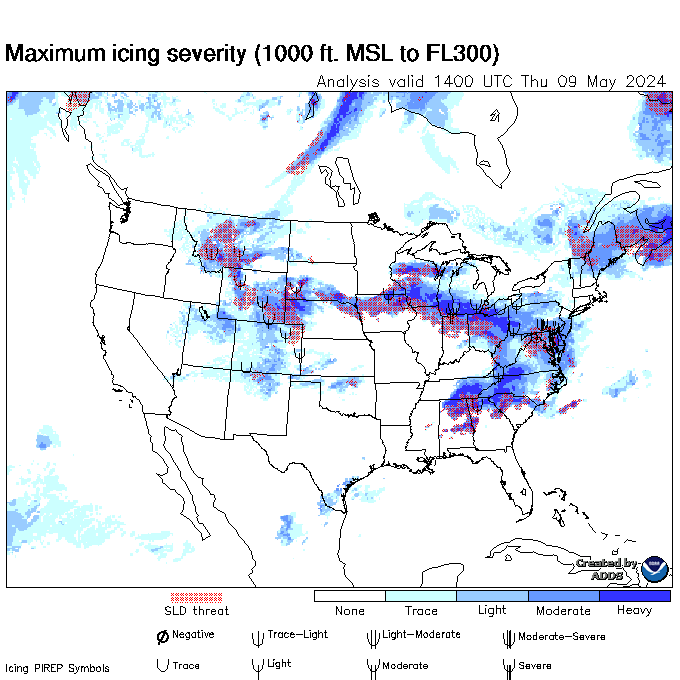


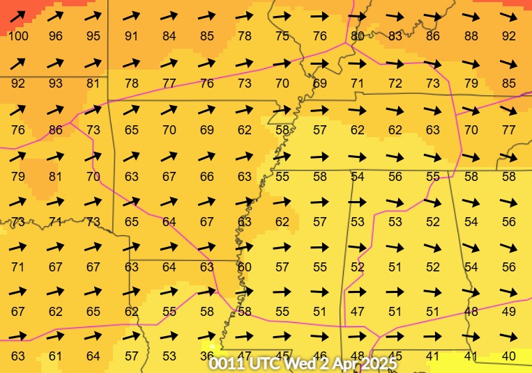
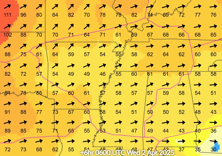

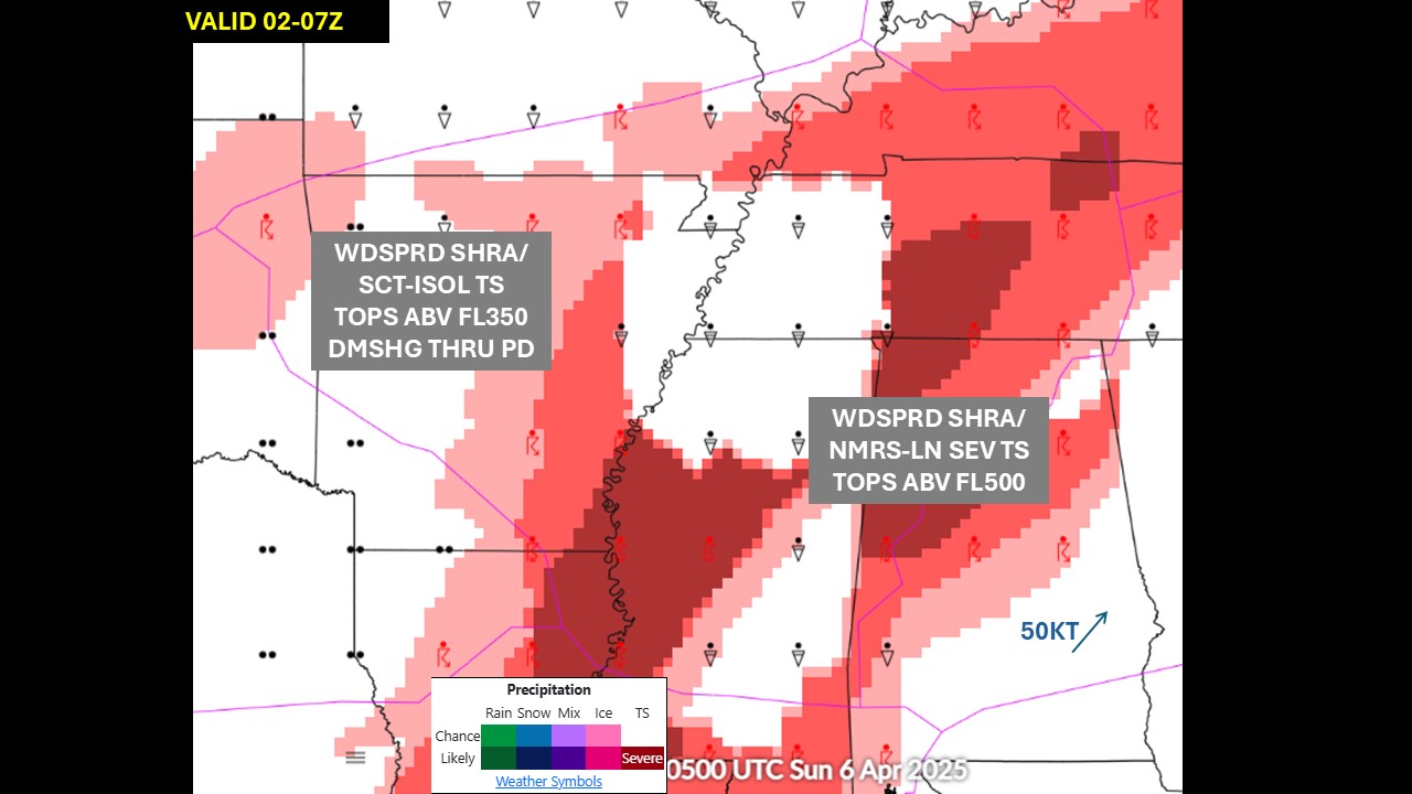
|
|
|
|
|
|
Latest Winds/AIRMETs/TSTM Forecasts Allow a few seconds to load--hit refresh to update.
Current Products Issued by CWSU Memphis
WATCHES, WARNINGS, CLIMATE
Current Northern AlabamaWatches and Warnings Severe Weather Outlook Current Warnings in effect nationwide
US Dept of Commerce
National Oceanic and Atmospheric Administration
National Weather Service
Memphis
3229 Democrat Road
Memphis, TN 38118
Comments? Questions? Please Contact Us.


