Event Summary:
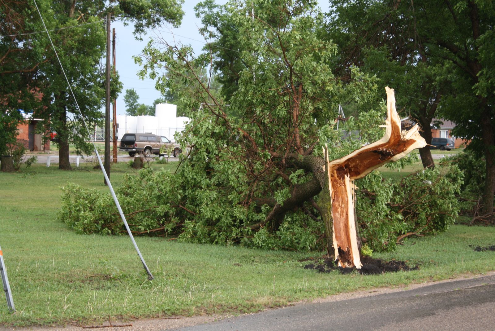
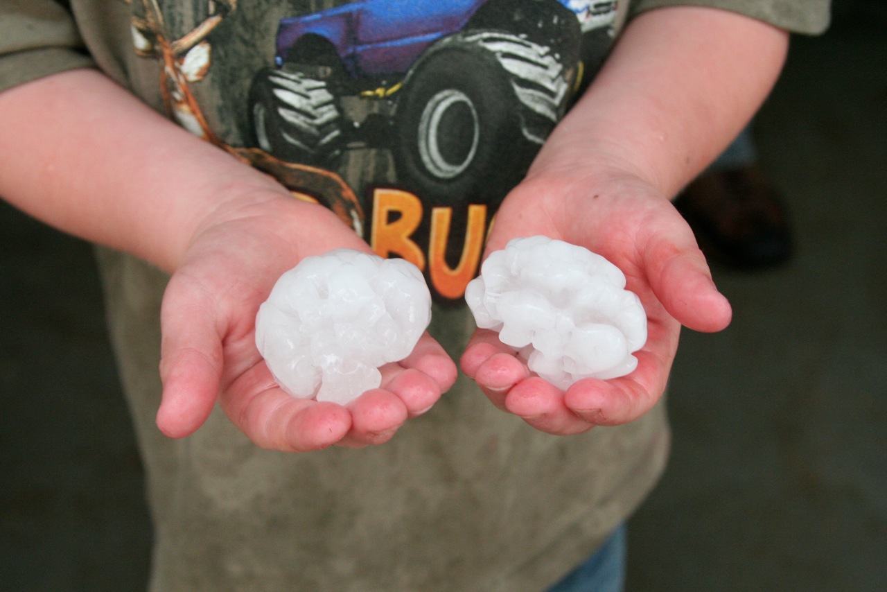
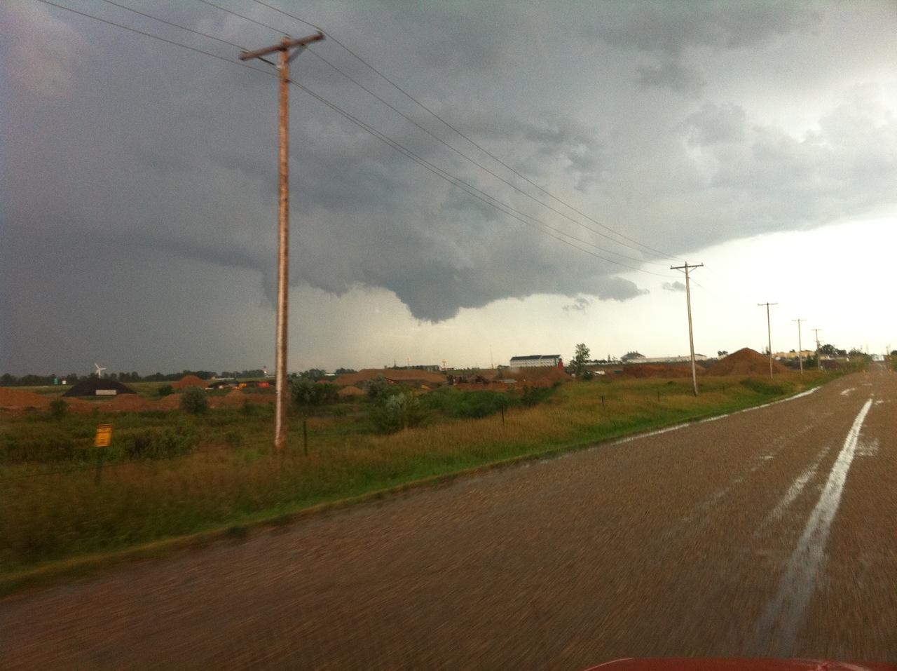
Other brief tornado touchdowns were reported in Roberts and Traverse Counties although no damage has been attributed to these tornadoes. Funnel clouds were also sighted near Watertown. In addition to the tornadoes, large hail was reported over Brown, Marshall, and Codington Counties, including some to the size of tennis balls (2" or greater in diameter). Significant crop damage was reported from the hail with several vehicles sustaining damage.
Storm and Damage Photos:
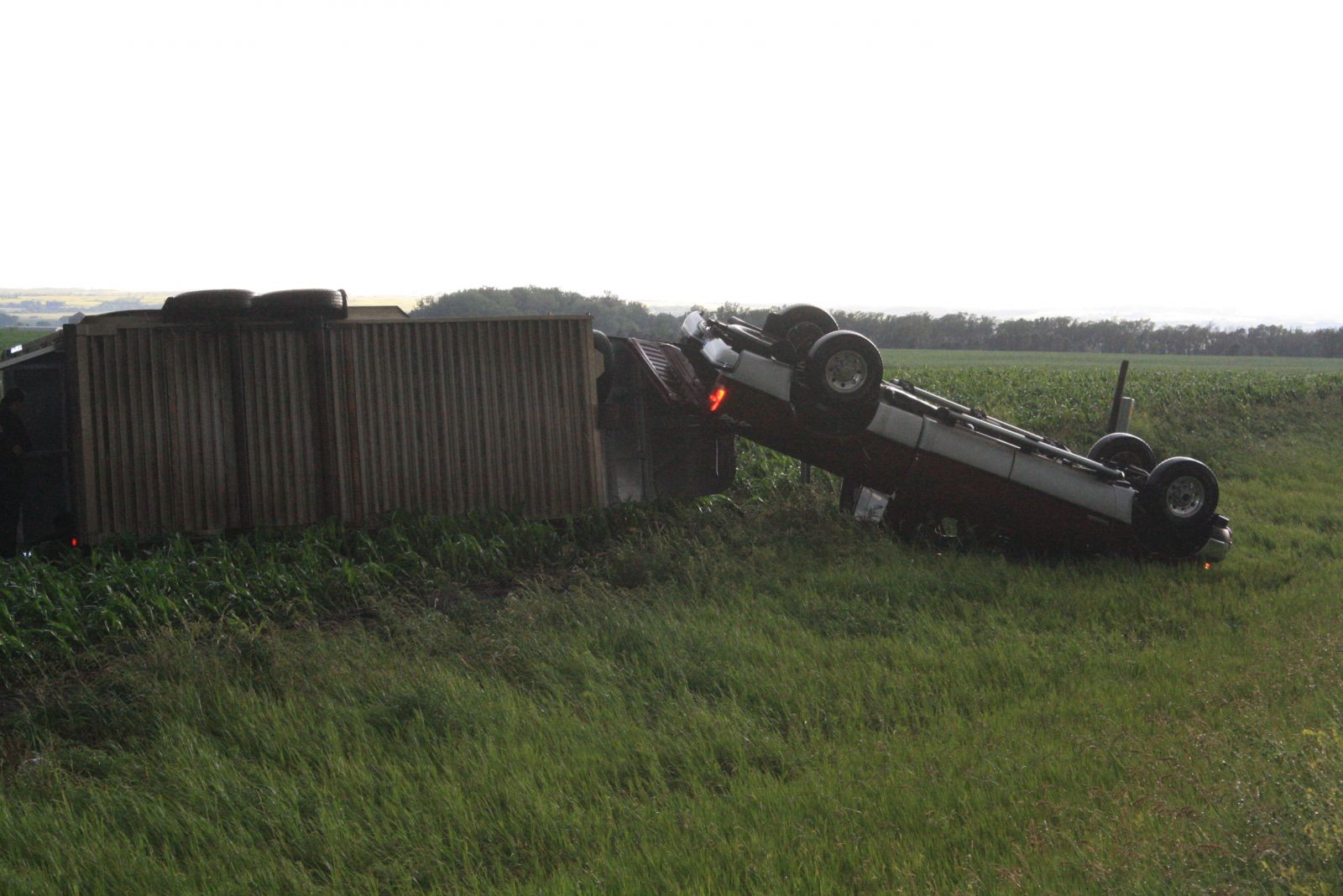
| Near Peever, SD (Photos Courtesy of the Sisseton Courier Newspaper) |
 |
 |
 |
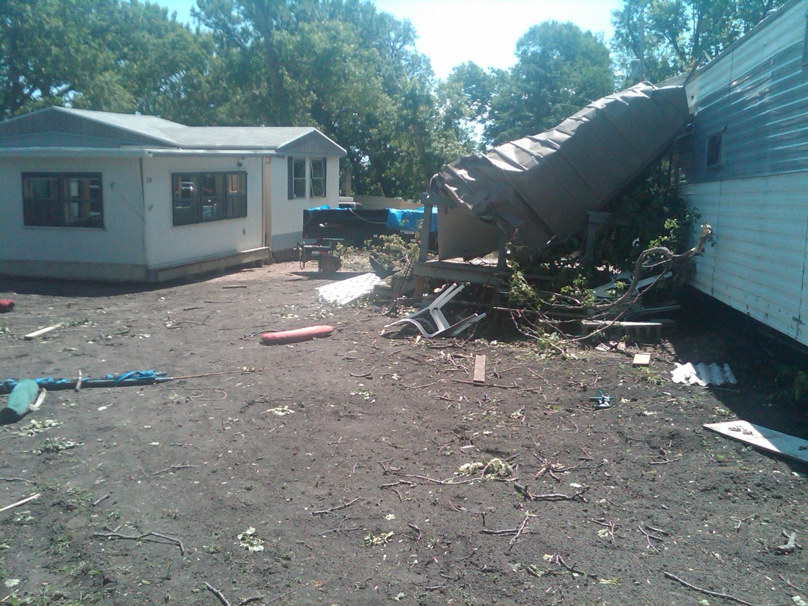
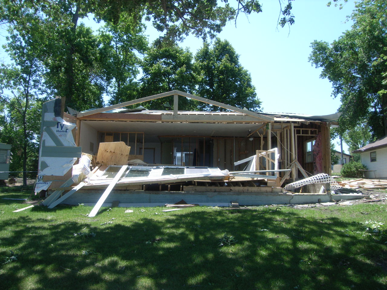
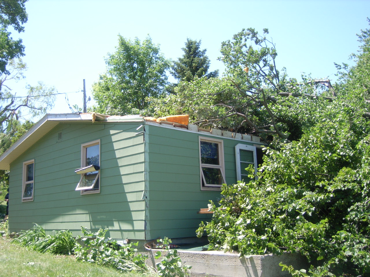
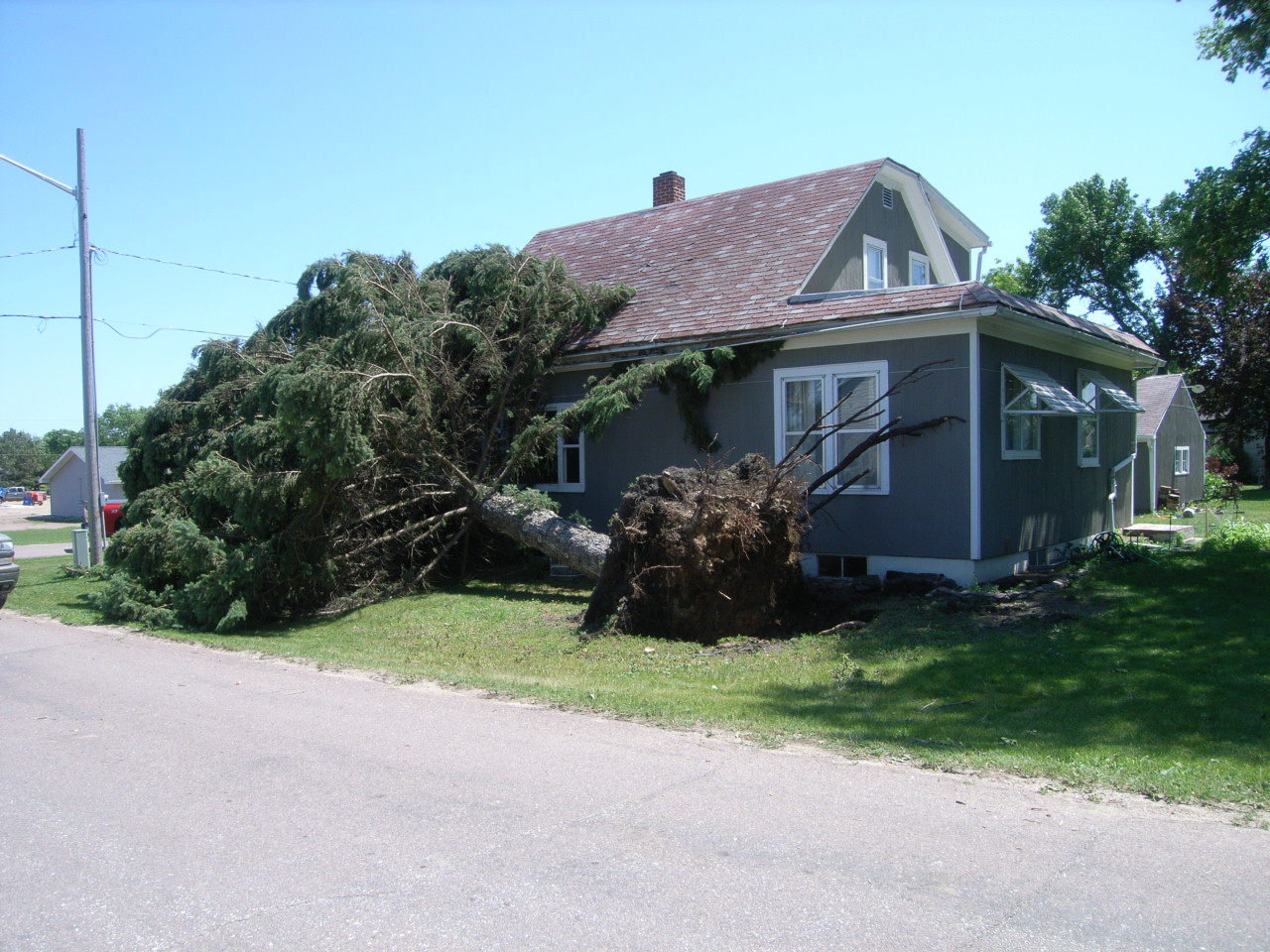
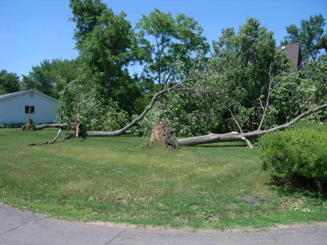
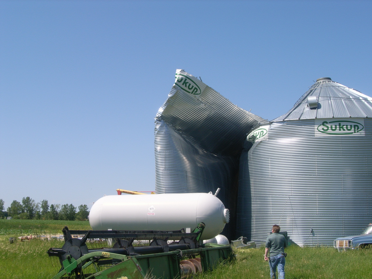
| Near Kranzburg, SD (Photos Courtesy of Kyle Horst) |
 |
.jpeg) |
 |
| Cramer's Resort, Big Stone Lake |
|
|
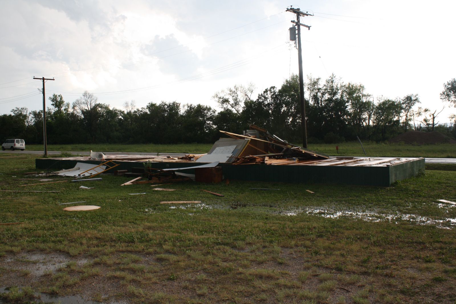
| Big Stone City, SD & Ortonville, MN |
|
|
Storm reports