Overview
A change in the large-scale pattern in the middle of January led to a much colder and active pattern. Two significant events took place towards the end of the month: a blizzard and extreme cold.
January 27-28th, 2019 Blizzard
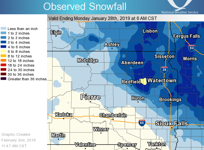
A powerful Alberta Clipper passed through the region from the 27th through the 28th. Relatively high amounts of snow ranging from two to five inches, with locally higher amounts, fell in northeastern South Dakota and western Minnesota throughout the afternoon and overnight hours of the 27th. Very strong northwesterly winds began occurring the evening of the 27th. Fresh snow along with gusts up to 72 mph led to blizzard conditions in the area. First responders took part in over 30 rescues in Brown County alone.
January 30-31st, 2019 Extreme Cold
A weakening of the polar low pressure system resulted in a weakening of the westerlies. This resulted in cold, arctic air being able to push further south than would otherwise be the case. Record low temperatures were set in many locations on January 30th and 31st.

Blizzard Images
 |
 |
 |
 |
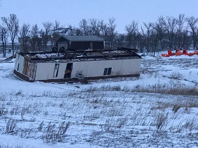
| Mobile home rolled over by strong winds (Photo courtesy of Mike Scott) |
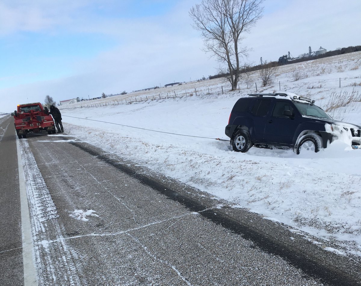
Vehicle in ditch (Photo courtesy of the SD Highway Patrol) |
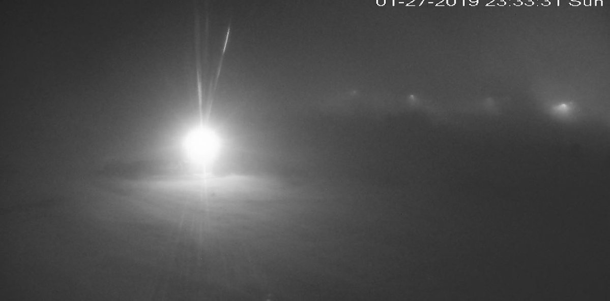
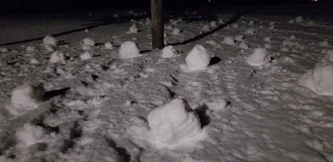
View from the Aberdeen Weather Forecast Office webcam | Snow rollers created by the strong winds (Photo courtesy of an NWS Employee) |
 |
 |
 |
 |
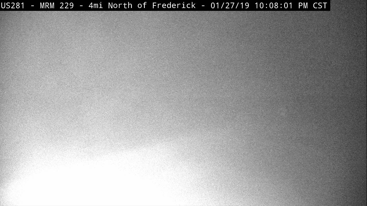
| SDDOT Cam from Clark at 11pm | SDDOT Cam from Mellette at 1130pm | SDDOT Cam from Frederick at 10pm | SDDOT Cam from Craven Corner at midnight |
 |
 |
 |
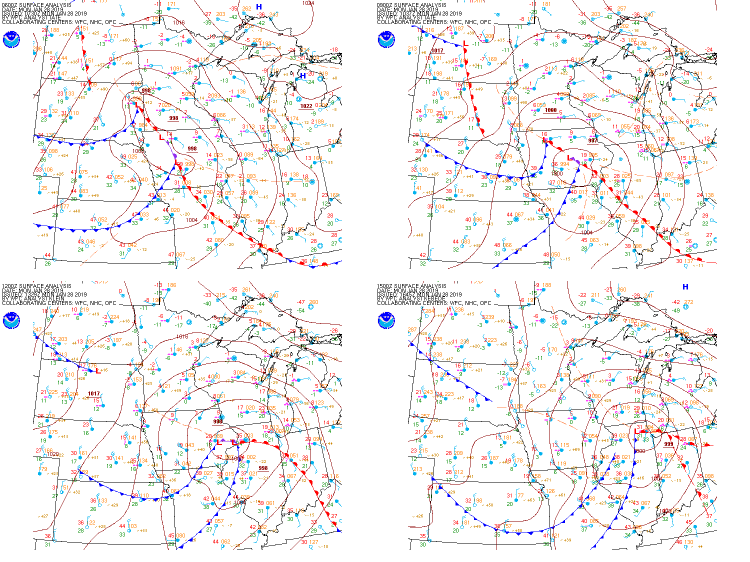 |
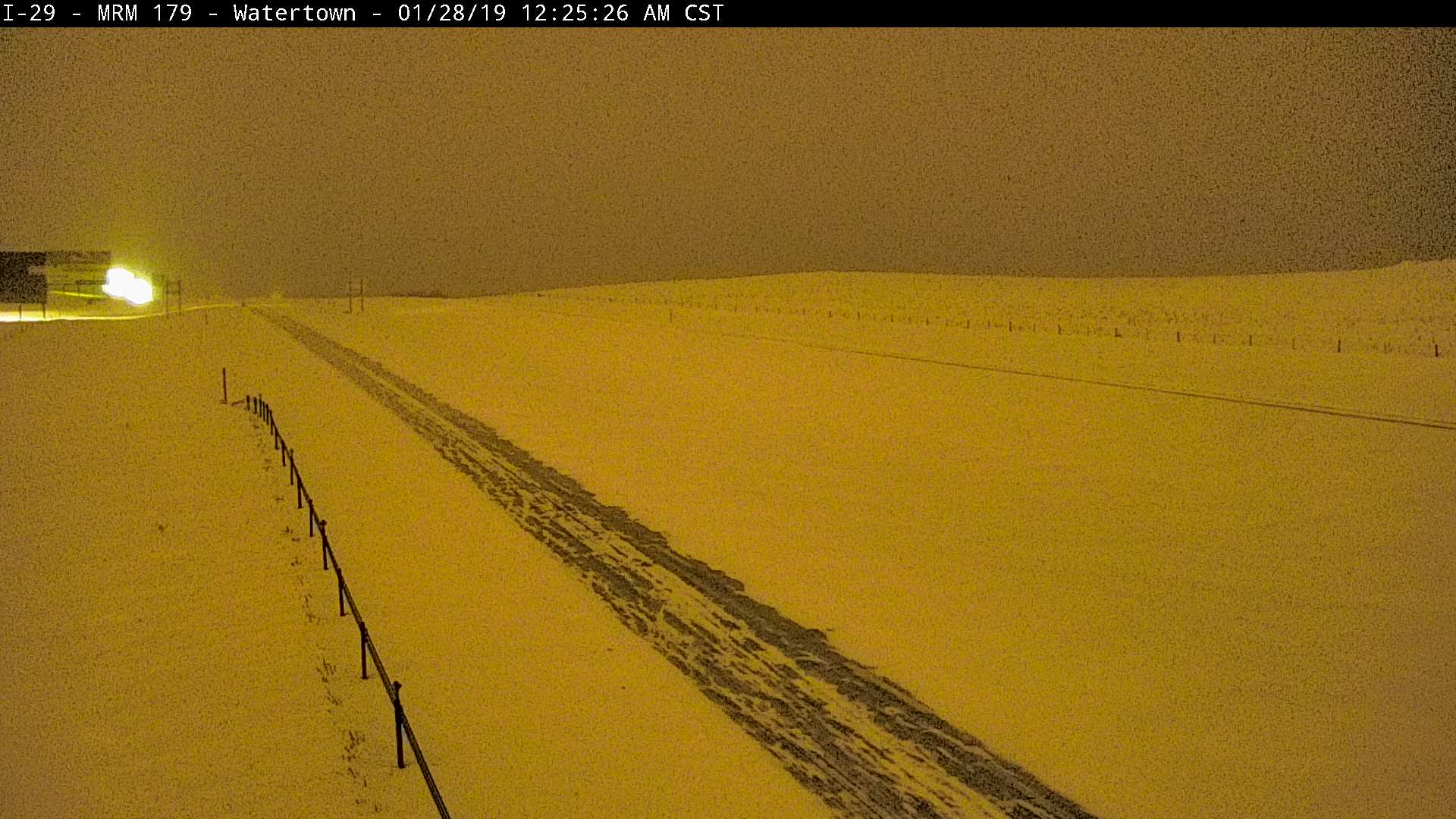
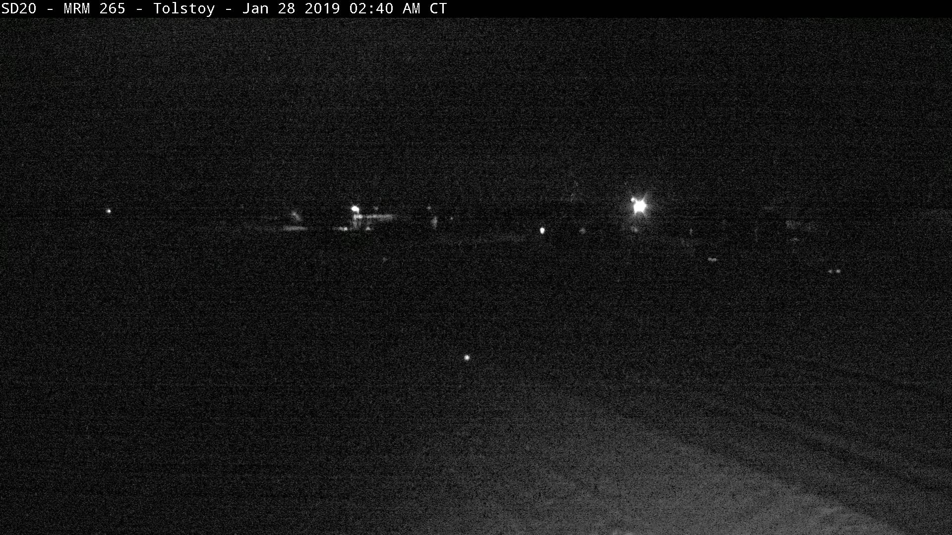
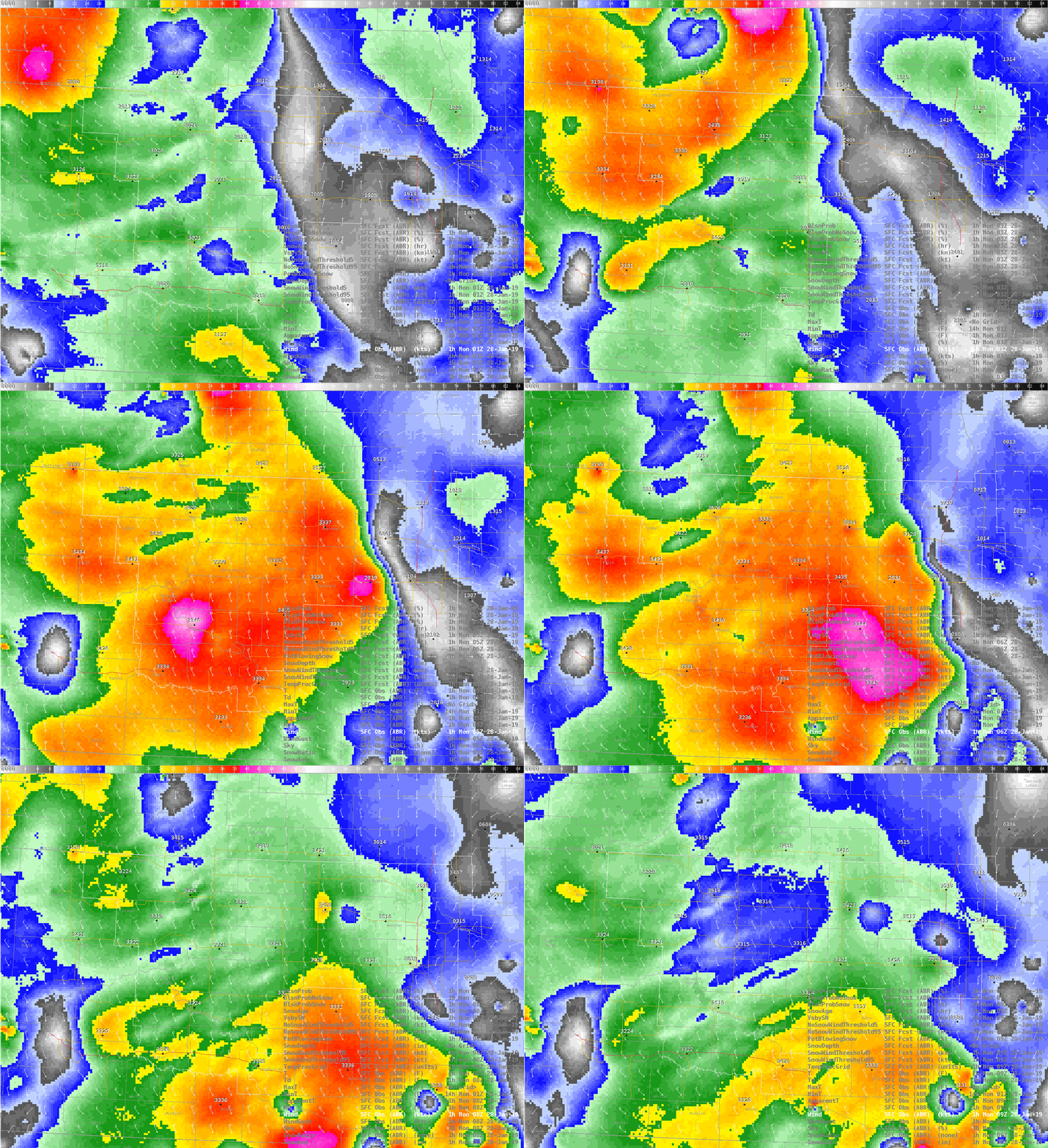
| SDDOT Cam from Watertown at 1230am - strongest winds and thus blizzard passed just west | SDDOT Cam from Tolstoy at 11pm - strong winds, but crusted over snow led to limited drop in visibility | Observed winds from 6pm 27th to 2am 28th. Brighter colors = stronger winds | Surface map starting at 1:30 am on the 28th |
Extreme Cold Images
 |
 |
 |
 |
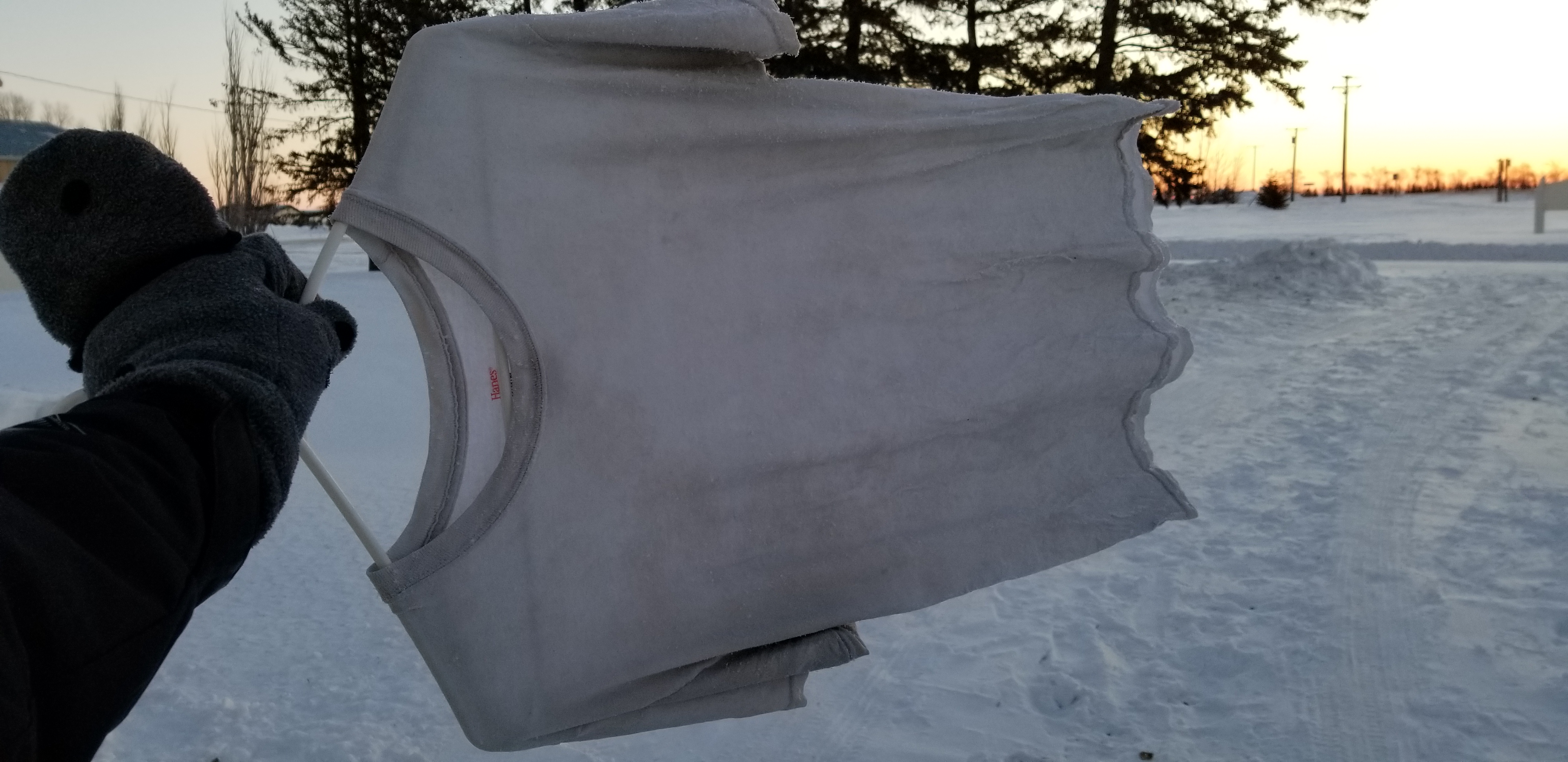
| T-shirt frozen in place by the extremely cold temperatures (Photo courtesy of an NWS employee) |
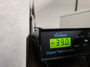
Low temperature the morning of January 30th in Pollock, SD (Photo courtesy of Donna Meyer) |
Frozen Bubble (Photo Courtesy of Mike Scott) |
Sundogs near South Shore, SD (Photo courtesy of Gilbert Tierney) |
Radar Loop from 6 am January 27th through 8:30 am January 28th
|
A summary of the event as it unfolded at Mina Lake from a NWS employee: Sunday began cold with a low temp of 0.0° F at 3:30 am, and then stayed cold, climbing only to 15° by 3:30 pm. Meanwhile southeast winds were relatively light through the day, gusting to less than 20 mph, and light to moderate (heavier pockets) snow was falling. Beginning after 6 am and ending before 8pm, 2.7” of snow with 0.2” liquid equivalent had accumulated in a more-or-less uniform layer outside. While temperatures had rising throughout the day, they rose significantly with a narrow warm surge by Sunday evening. At 8 pm, the temperature was 25.9°. Half an hour later, it was 38.7° outside, and the high temperature of 39° was reached by 9 pm. This, as winds were shifting to the west and increasing in speed – gust of 45.2 mph at 9 pm. 39°, by the way, was the warmest it had been since 10 pm on January 7th. Pressure had been dropping since midnight (started at 1019 mb) as the intense Alberta Clipper approached, and a low of 994.6 mb was reached at 8 pm. After the visible-on-radar arctic front had passed by 9:30pm, pressure began to sharply increase at a rate of 2.9mb per hour from 9:30pm to 3:30am (17.6mb rise over these 6 hours). Winds increased significantly, shifting to the northwest. Once gusts surpassed 50 mph, dozens of snow rollers spontaneously developed in the new, now sticky snow! It was around 9:20 pm. The ground blizzard had an amazingly sudden onset. Absolutely no visibility reductions and starry skies were observed at 9:15 pm, but in less than half an hour, the bright restaurant lights just a quarter mile away from my location had disappeared. The neighbor’s property light was about 200 feet/0.05 miles away. When standing next to a property light, non-luminous objects of over about 70 feet away were not visible. Sustained winds surpassed 40 mph and/or gusted to over 60 mph from about 9:30 pm to 12:30 am, and a peak gust of 65.8 mph was recorded at 10:55 pm. Temperatures dropped swiftly and significantly during this time as well, from 39° at 9 pm to 16° at 10 pm to 6.4° by midnight. Taking into account wind chill, a 62° change was measured in 4.5 hours (39° at 9pm, -23° wind chill at 1:30 am). While blowing snow continued after, the blizzard subsided early Monday morning. However, Arctic air remained. Monday’s low was 1.2° at 4:00 am, and the day’s high didn’t climb out of the teens. While less significant in both the conditions and, obviously, the impacts, it’s difficult not to spot parallels between this event and the Children’s Blizzard of Jan 12, 1888. Interestingly, if this event had shifted 10 hours earlier, this event’s relatively mild ~20° air would have been in place around 7:45 am, as parents would be sending their kids off to school. Additionally, this event’s blizzard would have then begun around 11:45 am. Even in this day-and-age with much improved warnings and shelter, it's still important not to lose respect for the power of Mother Nature. Heed warnings, and avoid putting yourself in a situation you may later regret.
|
Storm Reports
Highest wind gusts
Extreme Cold records
.jpg)
 |
Media use of NWS Web News Stories is encouraged! Please acknowledge the NWS as the source of any news information accessed from this site. |
 |