Overview
|
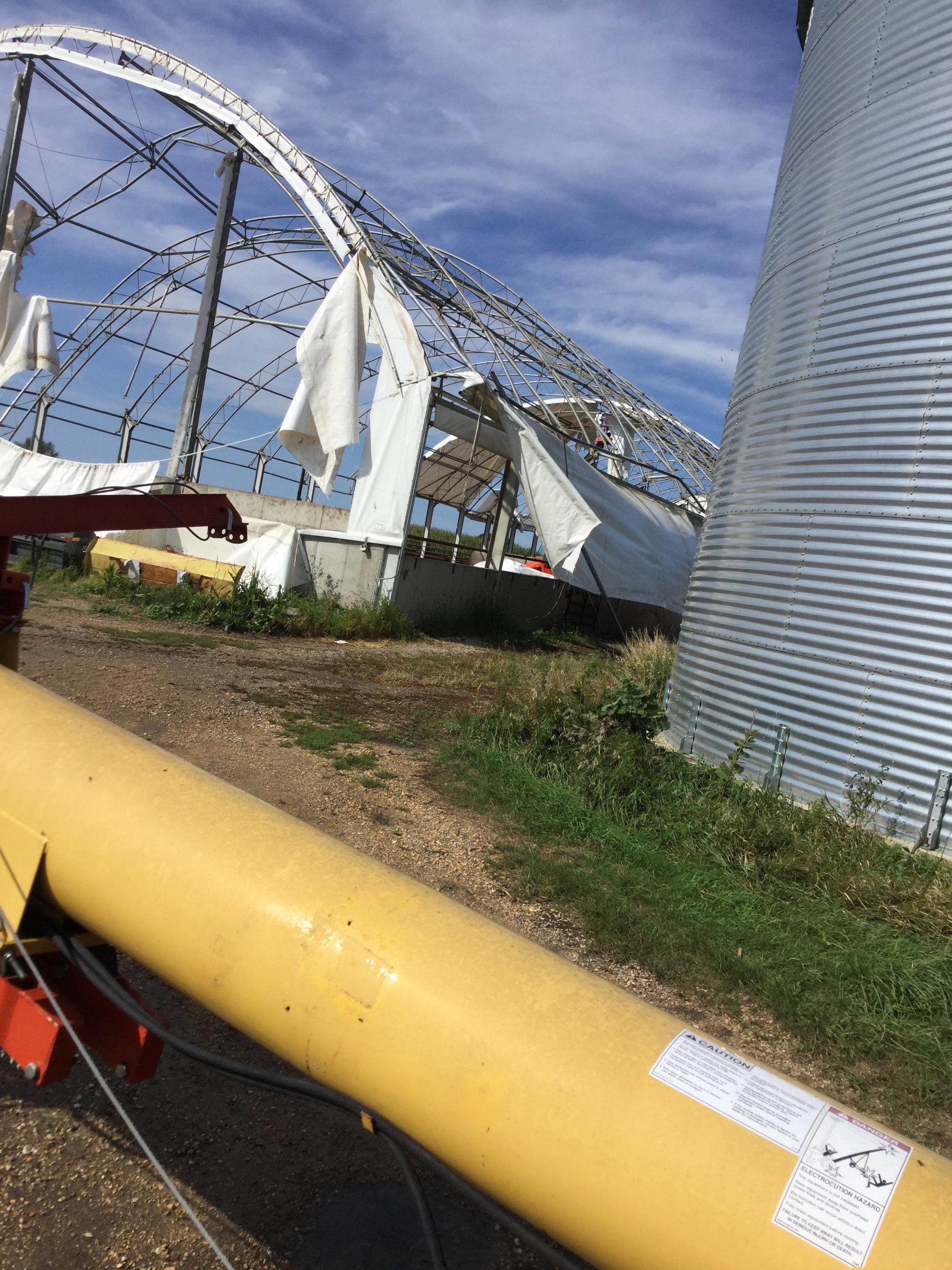
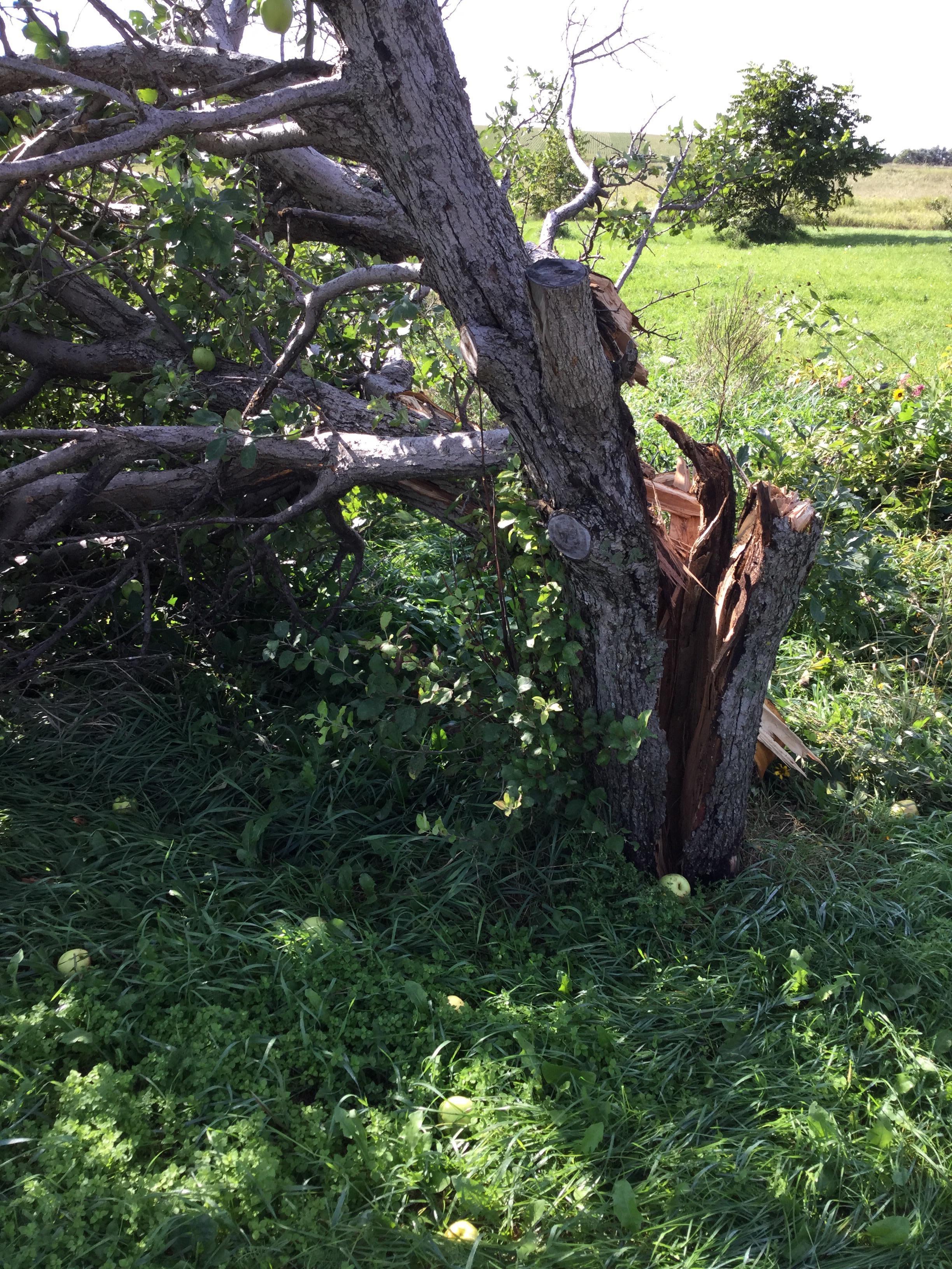
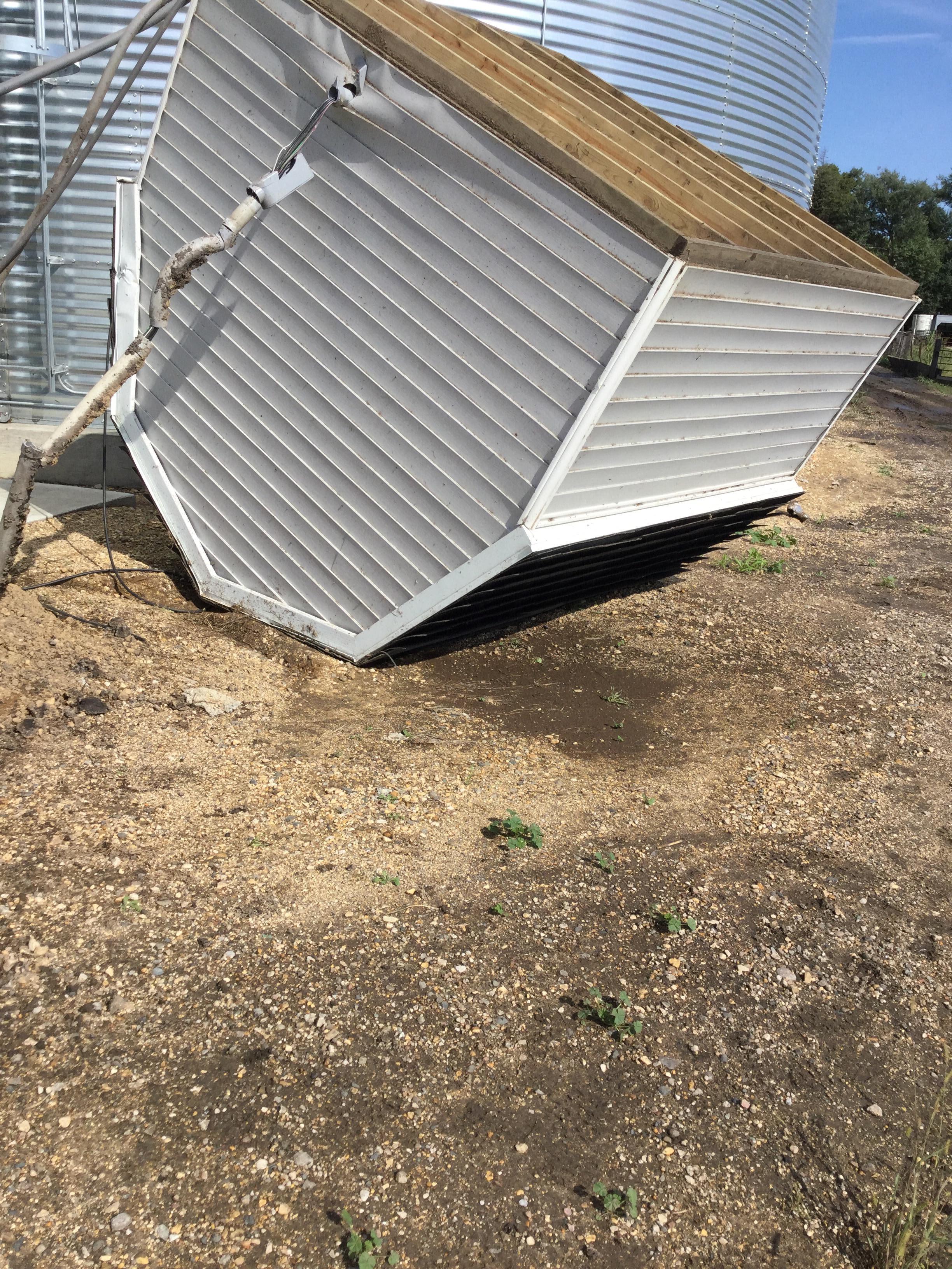
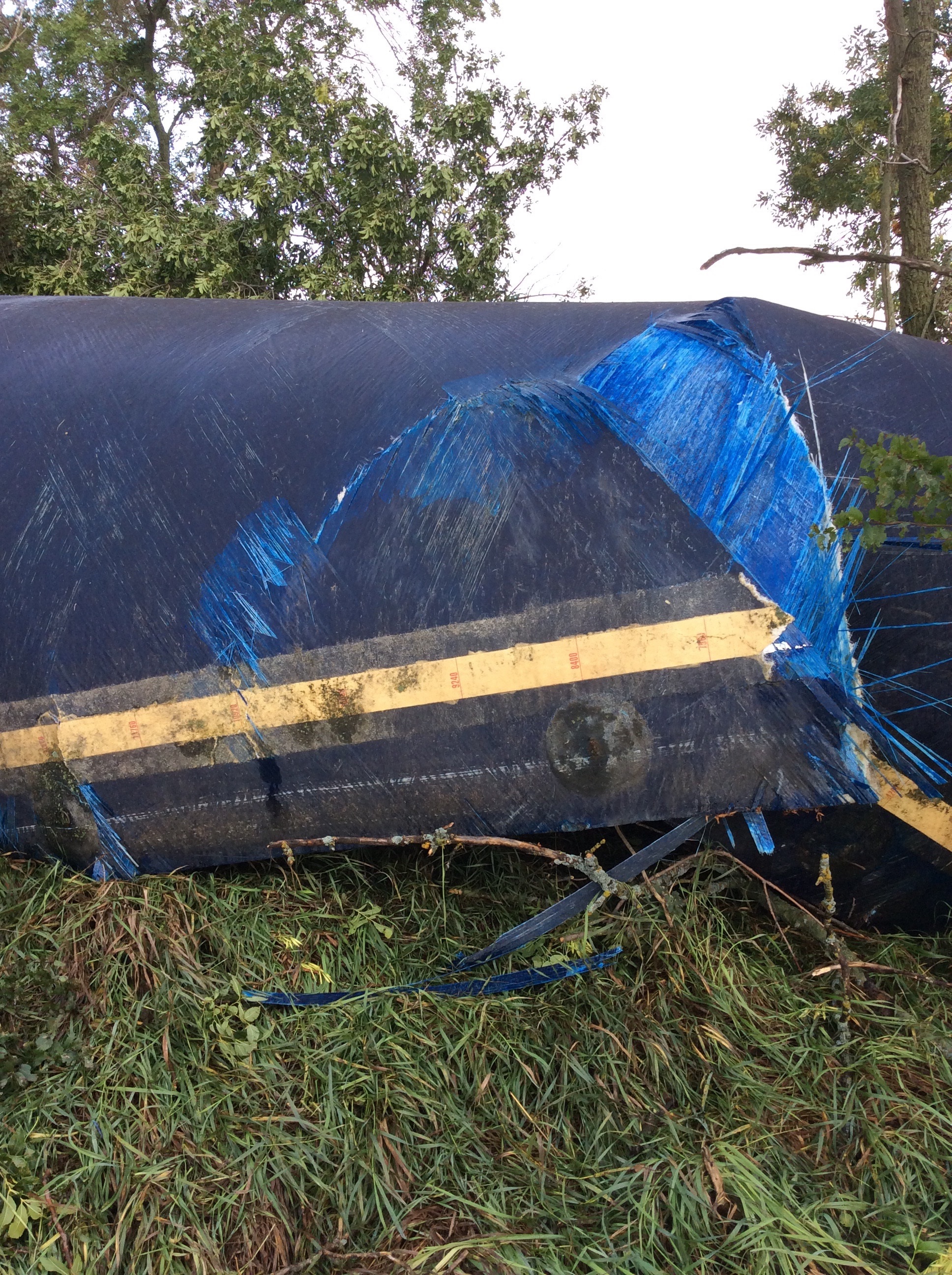
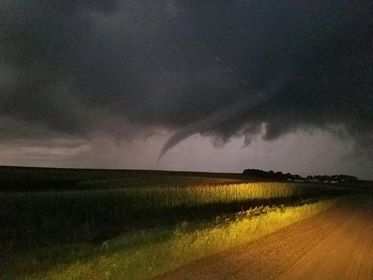
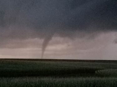
Despite it being September, the severe weather ingredients necessary for severe weather including tornadoes came together Monday afternoon/evening: plenty of moisture (65 to 70 degree dewpoints), low cloud bases, wind shear (change of wind direction/strength with height), and just enough instability ahead of a low pressure system. The first tornadoes of the day occurred in Hamlin and Codington Counties, and several others followed in Day County a few hours later. While no injuries were reported with this activity, a couple farmsteads did sustain damage. Hail and strong straight-line winds also occurred on occasion with these storms, as did heavy rainfall. The last time tornadoes occurred in September in South Dakota was on the 15th and 19th in 2017, and on the 30th in 2014. |
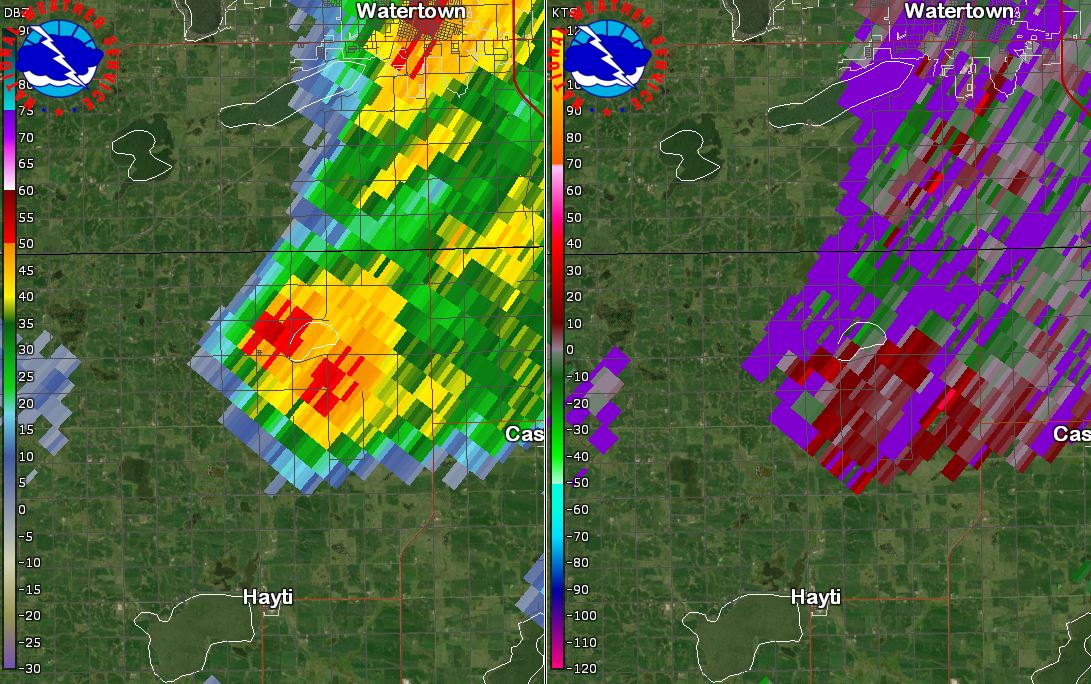
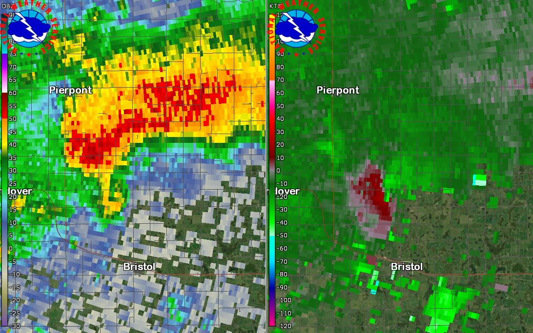
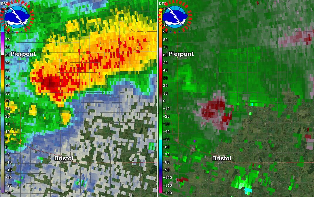
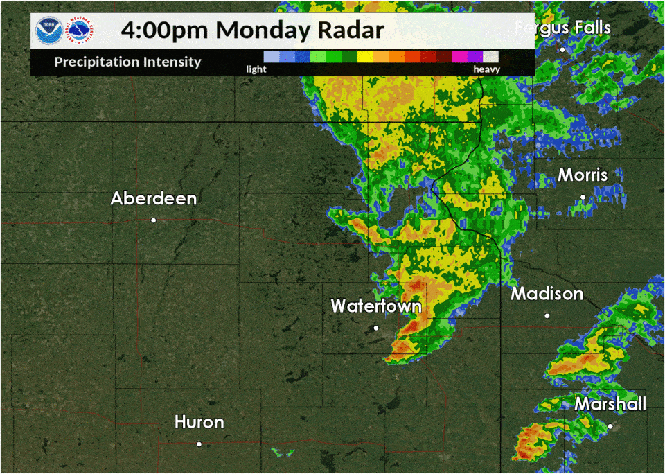 Radar Reflectivity from 4pm to 10pm CDT Monday Sept 9, 2019 |
Tornadoes
|
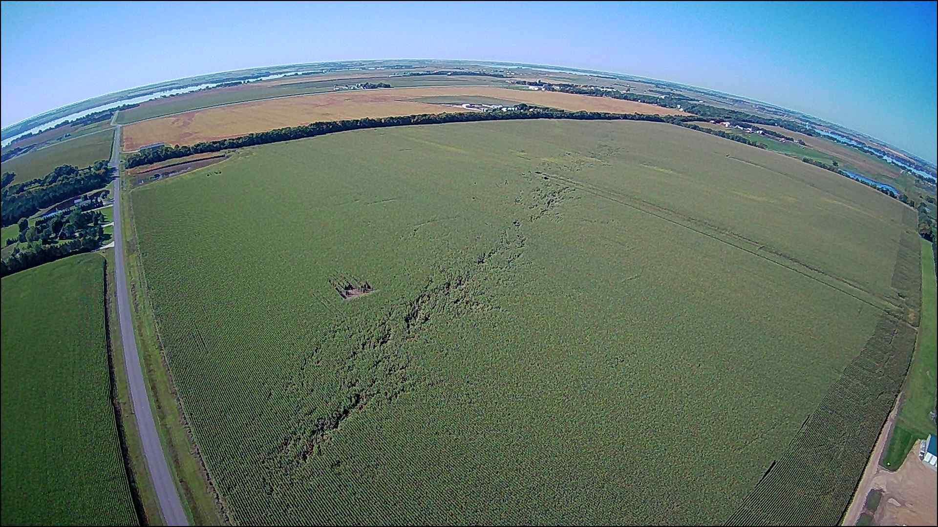
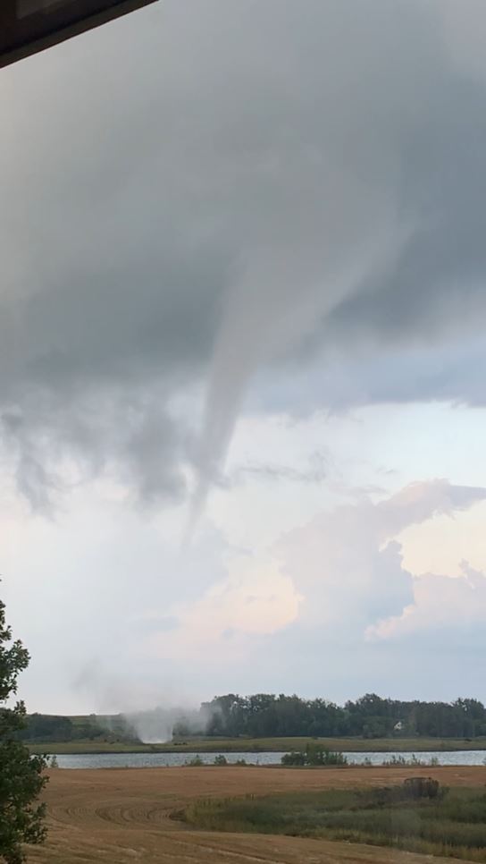
Tornado - near Thomas, SD
Track Map 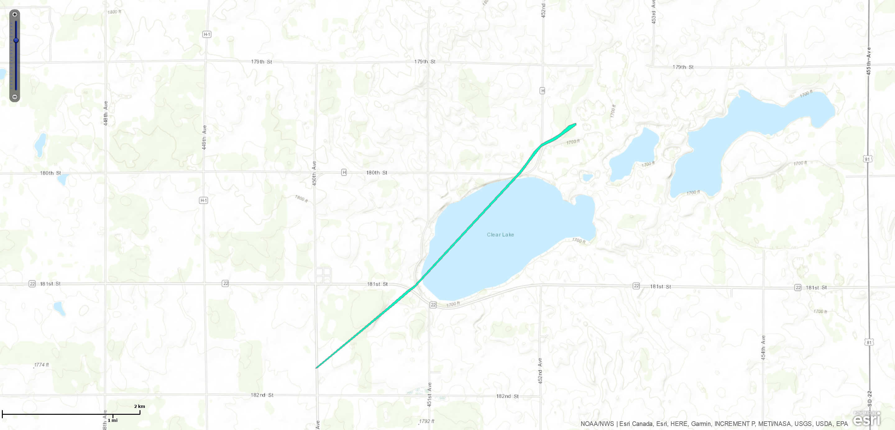 
|
||||||||||||||||
|
||||||||||||||||
|
||||||||||||||||
|
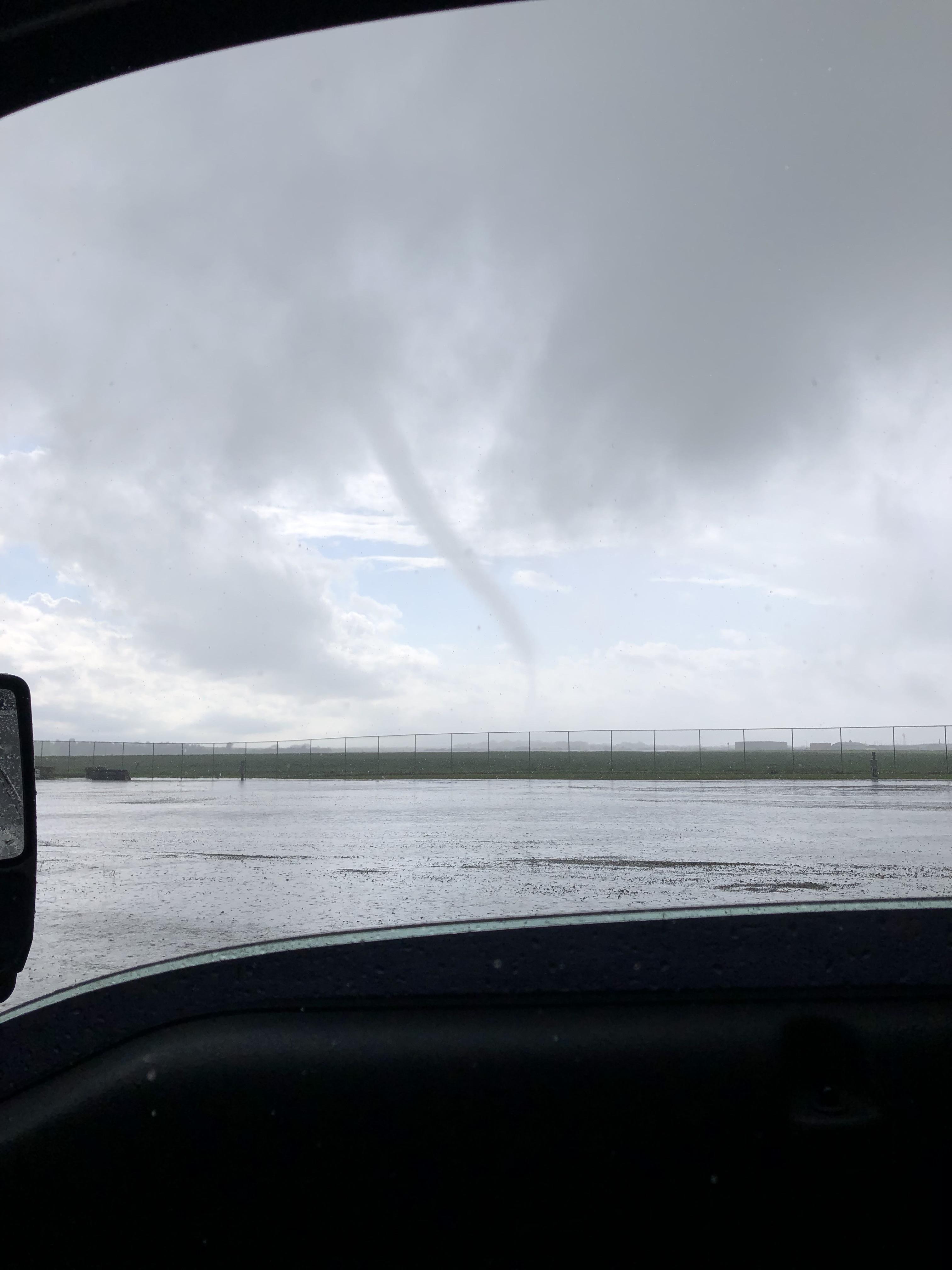
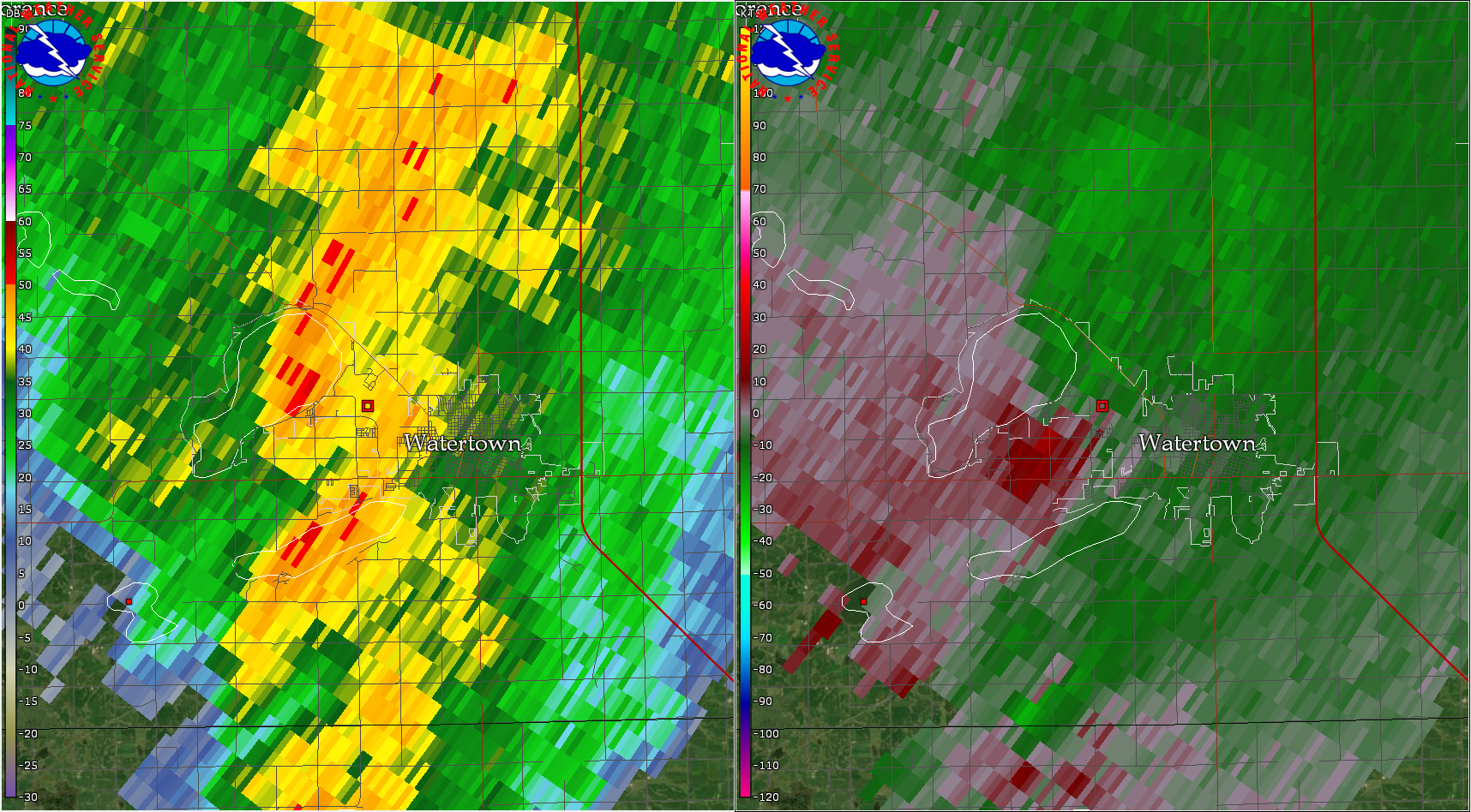
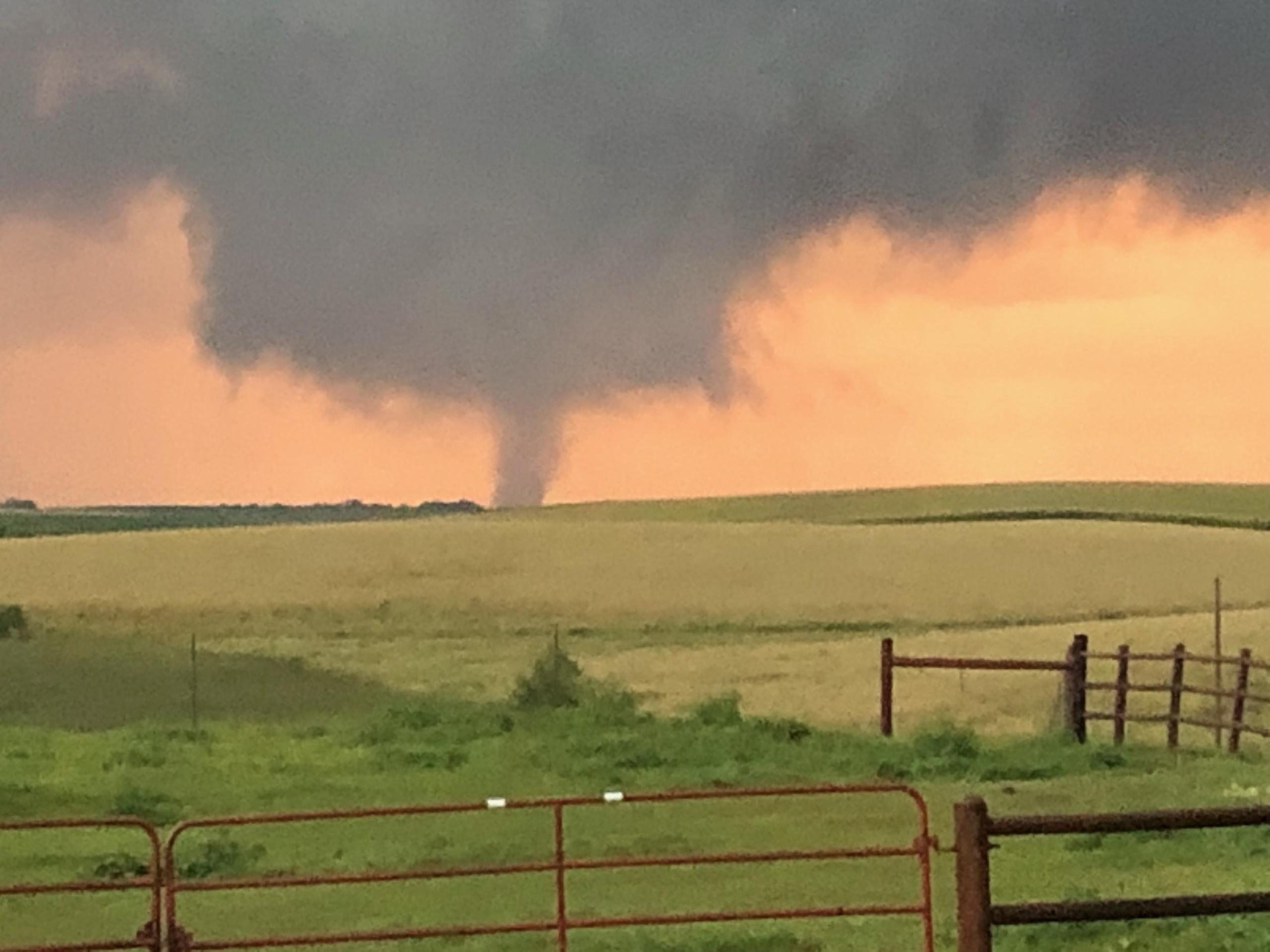
Tornado - Near Watertown Airport
Track Map 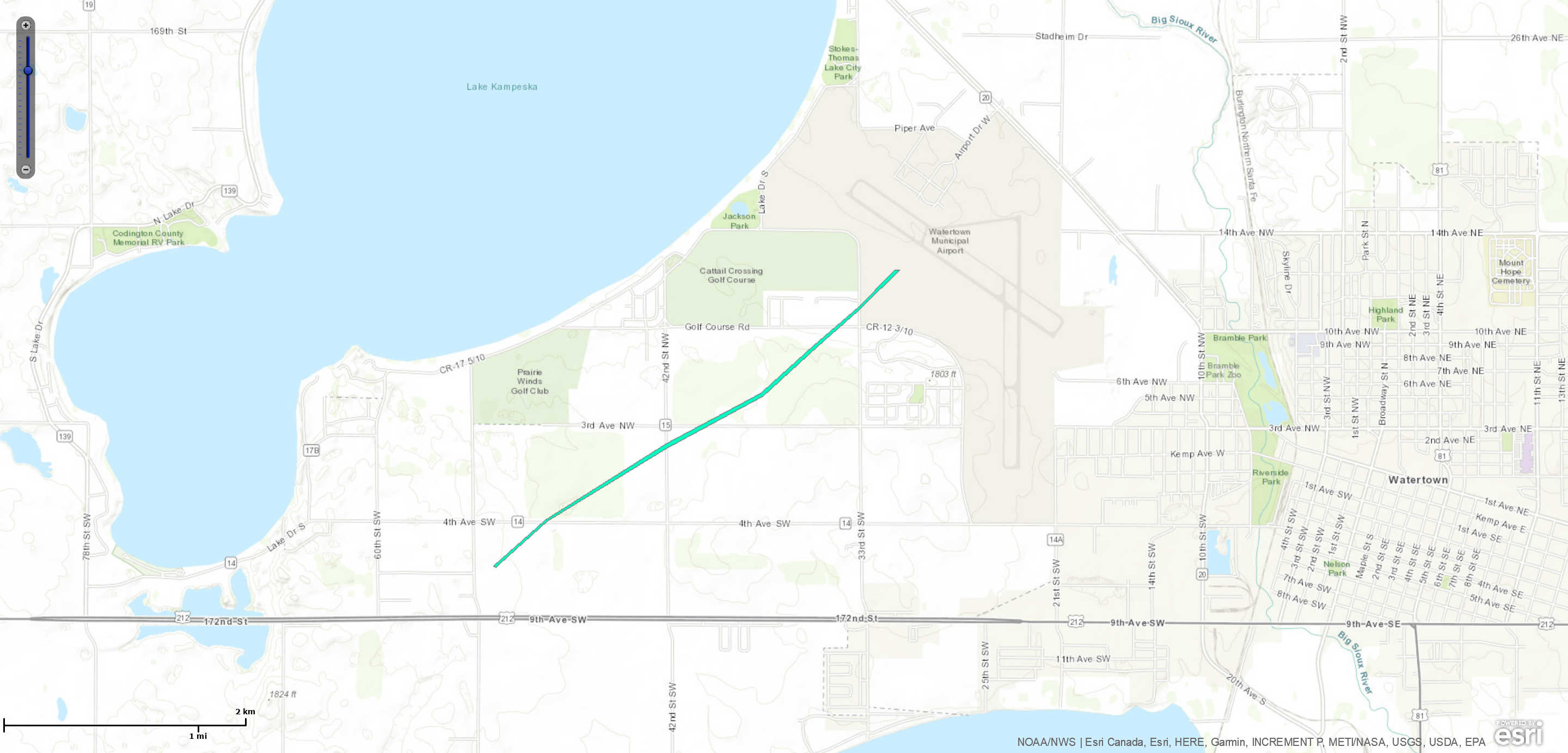
|
||||||||||||||||
|
||||||||||||||||
|
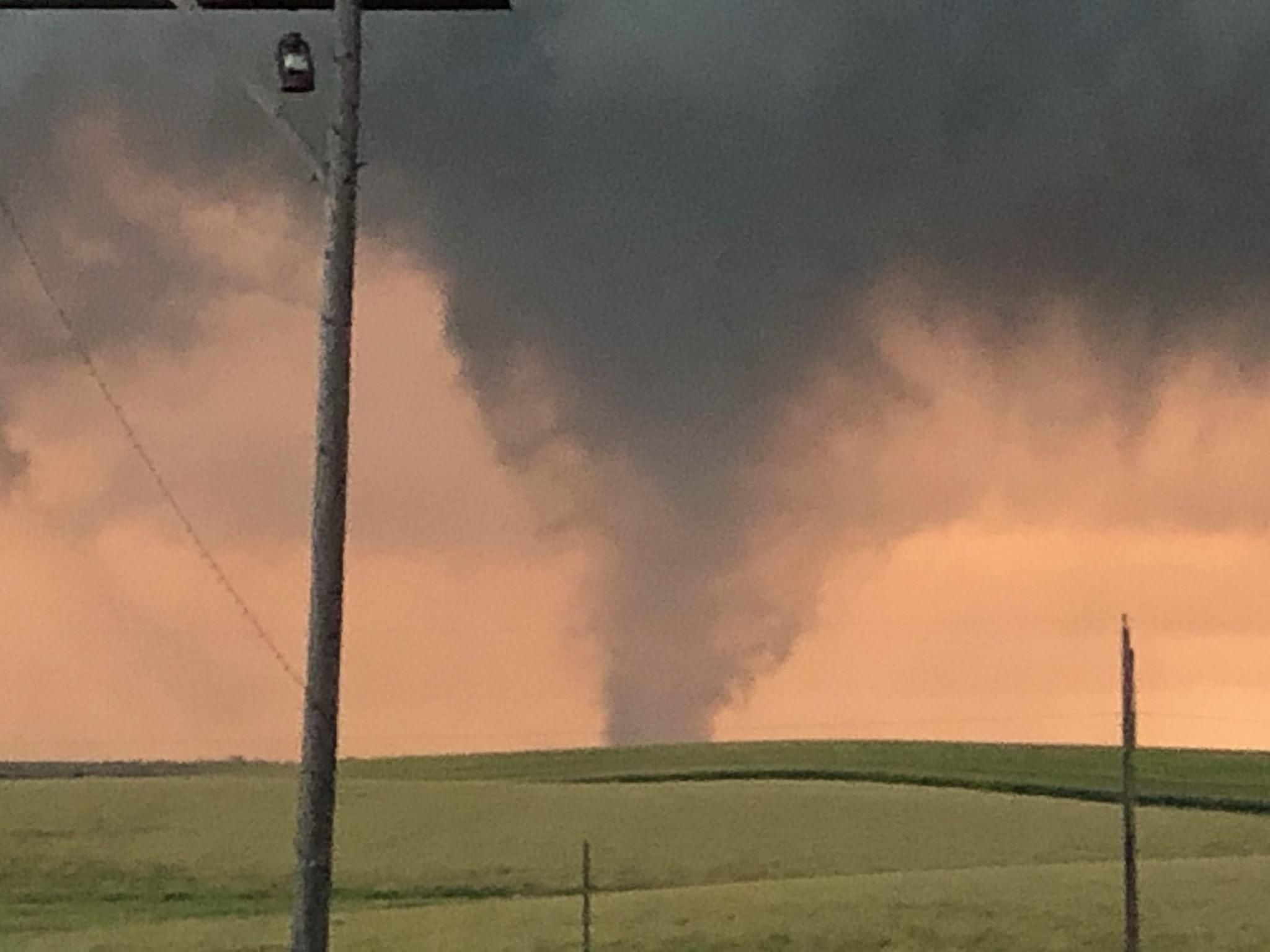
Tornado - 3N Webster
Track Map 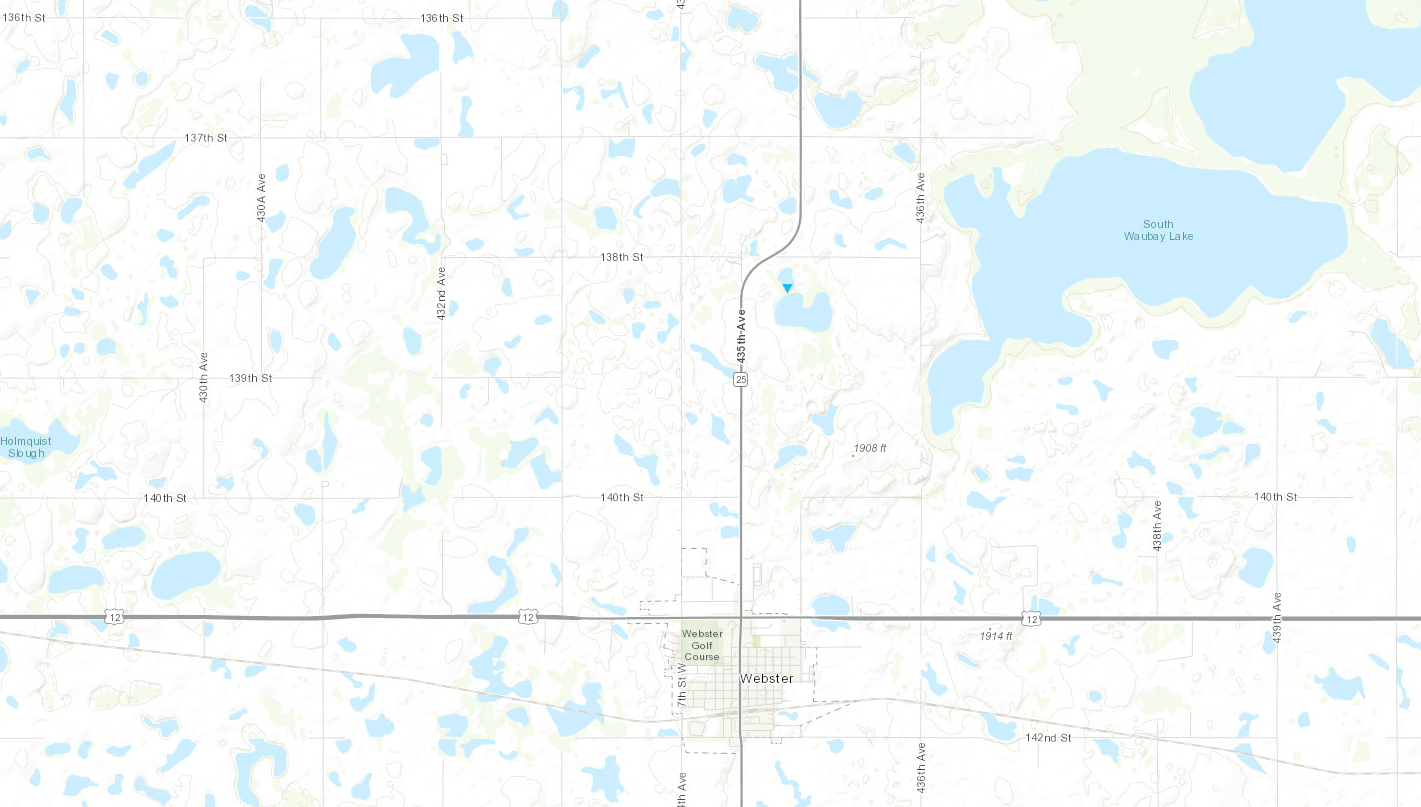
|
||||||||||||||||
|
||||||||||||||||
|
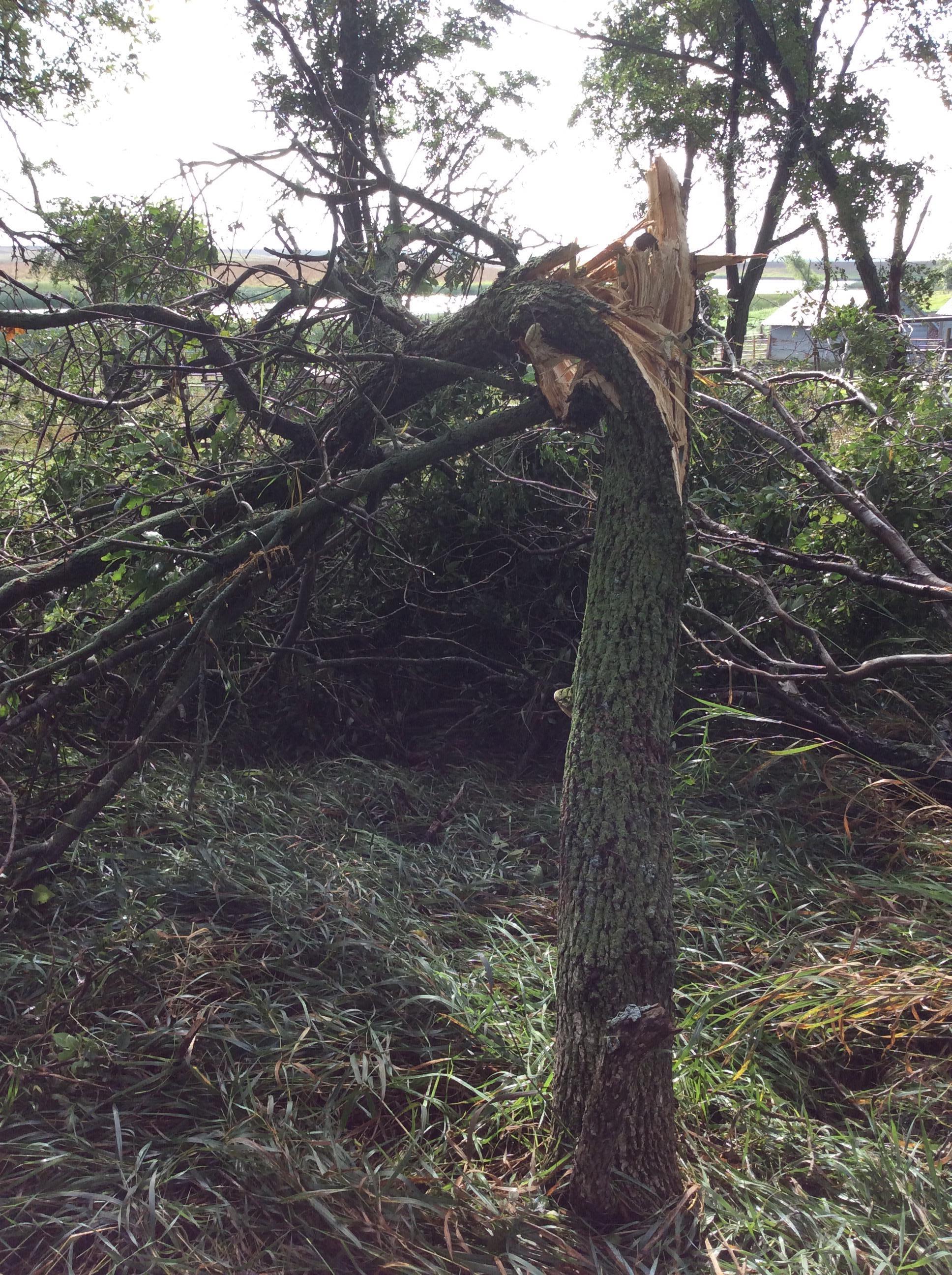
Tornado - 4N Bristol
Track Map 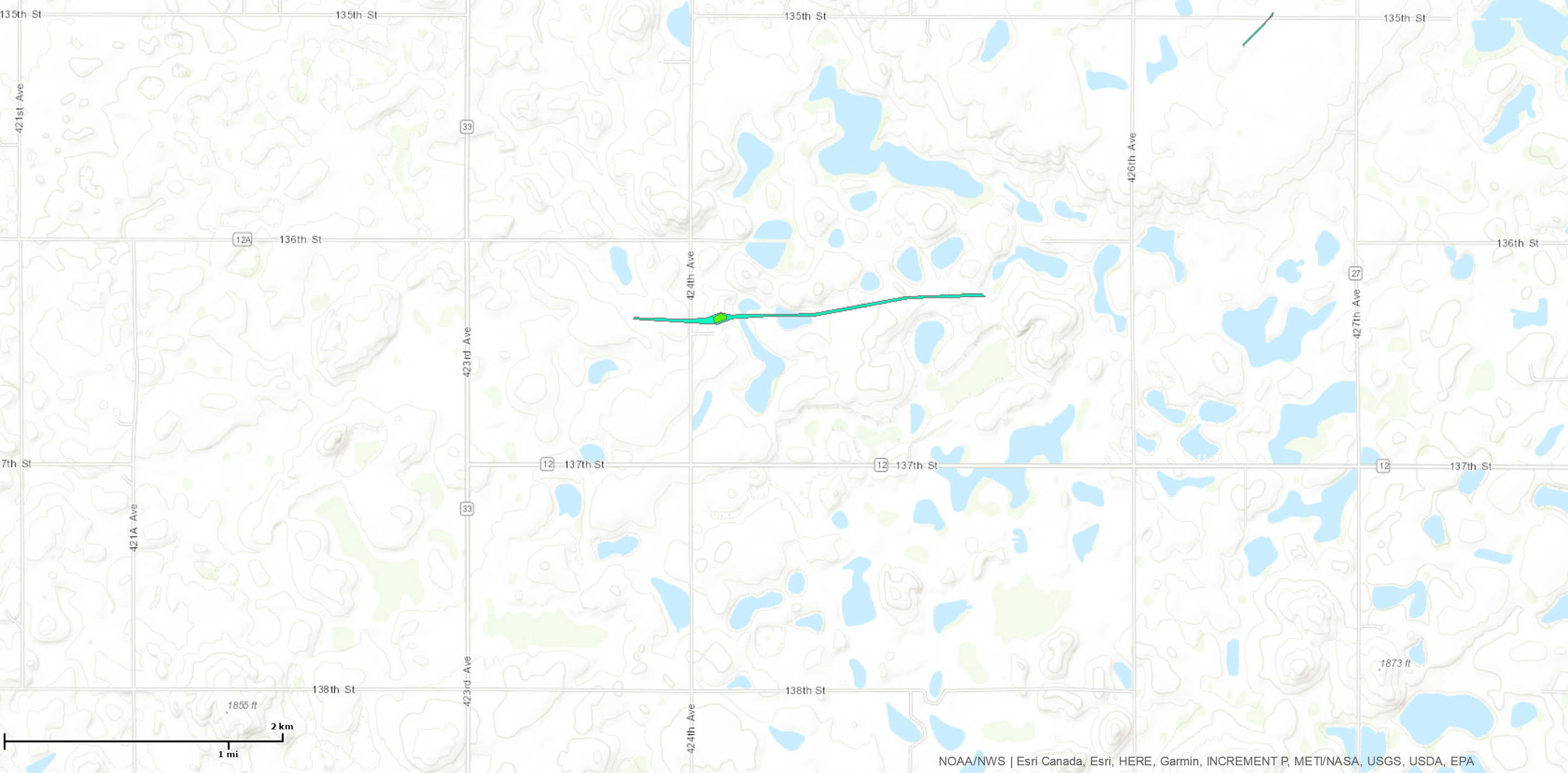
|
||||||||||||||||
|
||||||||||||||||
|
||||||||||||||||
|
Tornado - 7 NNE Bristol
Track Map 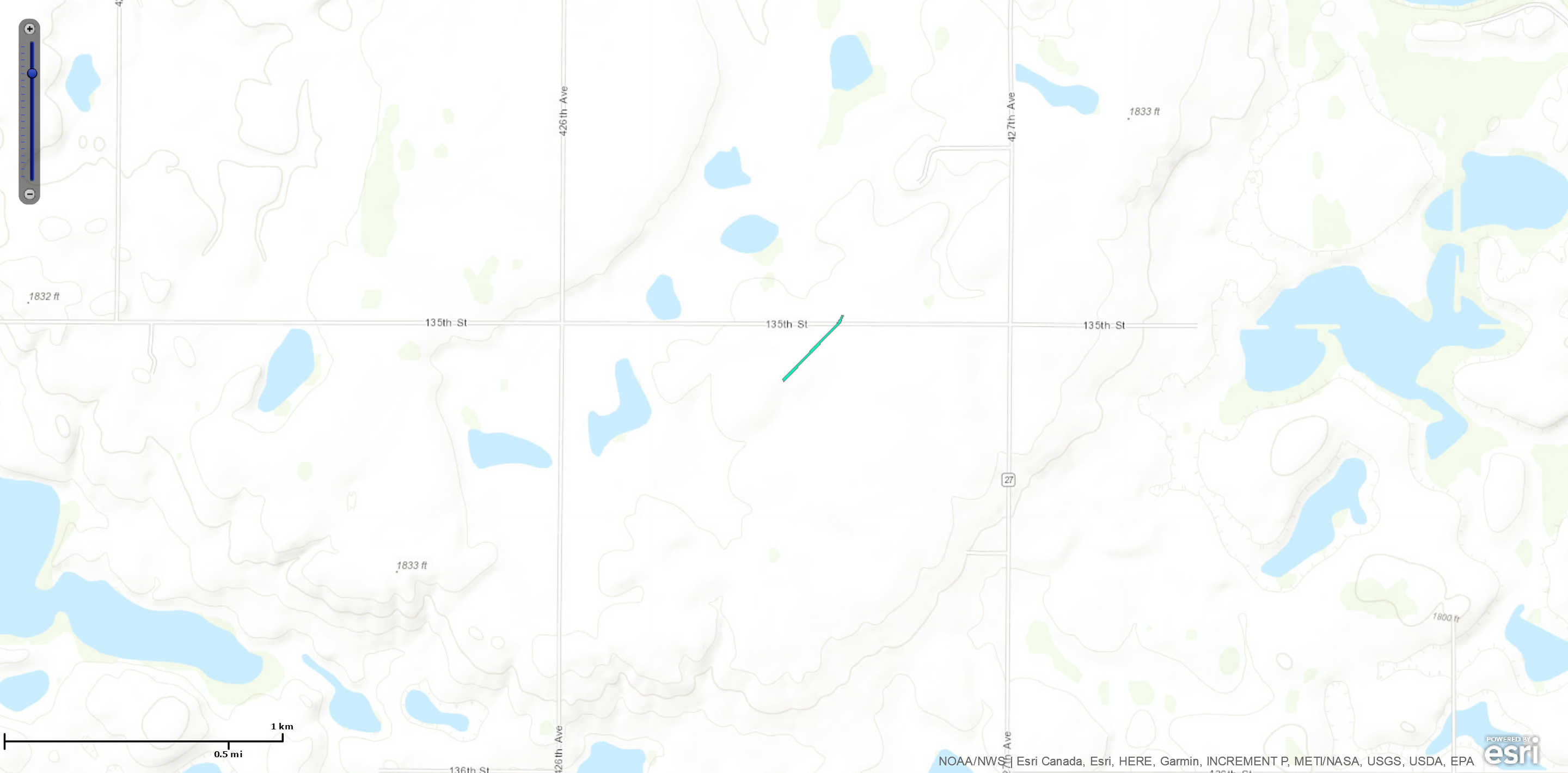
|
||||||||||||||||
|
||||||||||||||||
The Enhanced Fujita (EF) Scale classifies tornadoes into the following categories:
| EF0 Weak 65-85 mph |
EF1 Moderate 86-110 mph |
EF2 Significant 111-135 mph |
EF3 Severe 136-165 mph |
EF4 Extreme 166-200 mph |
EF5 Catastrophic 200+ mph |
 |
|||||
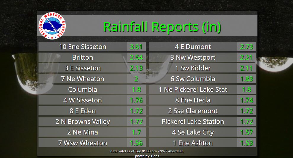
Rain Reports
24 hour rainfall reports listed as well as estimated in map-form below.

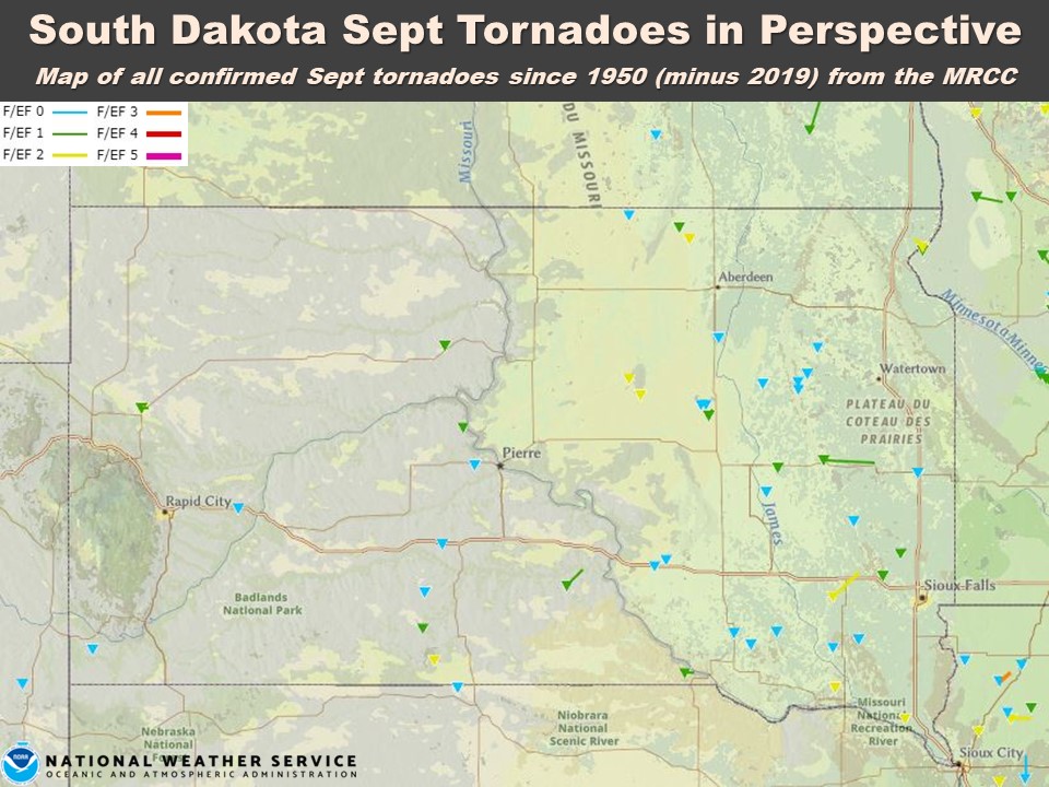
September South Dakota Tornadoes in Perspective
September 2019 was very active compared to normal. Preliminary data through September 28th, from the National Centers for Environmental Information's Storm Data

Map of all confirmed September tornadoes since records began in 1950, minus 2019, from the MRCC's Tornado Tracks page
 |
Media use of NWS Web News Stories is encouraged! Please acknowledge the NWS as the source of any news information accessed from this site. |
|