Weather History - August 28th
Local and Regional Events:
August 28, 2011:
Several thunderstorms tracking southeast across the region brought large hail along with damaging winds to parts of the area. Golf ball hail broke some windows on several homes and the church in Herried in Campbell County. Colossal hail up to three inches in diameter caused some vehicle and siding damage in Tolstoy, in Potter County. In Redfield, seventy mph winds downed a tree along with many large tree branches. Also, the metal on a roof was peeled back.
U.S.A and Global Events for August 28th:
1973: An F4 tornado touched down near Canaan, New York, and moved to western Massachusetts. Three people were killed in West Stockbridge, Massachusetts when a truck stop was destroyed, and another person died in a ruined house nearby.
1990: Between 3:15 p.m. and 3:45 p.m. a devastating F5 tornado ripped a 16.4 mile-long path through portions of Kendall and Will counties in northern Illinois. A total of 29 people were killed, and 350 more were injured. An estimated $160 million in damages occurred. The tornado's path width ranged from 200 yards to half a mile. A total of 470 homes were destroyed, and another 1000 homes were damaged. Sixty-five thousand customers lost power. Click HERE for more information from the National Weather Service office in Chicago.
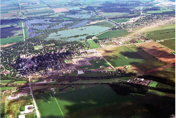
The image above is an aerial view of damage path looking east from Illinois 126 west of Plainfield.
2005: Hurricane Katrina attained Category 5 status on the morning of August 28 and reached its peak strength at 1800 UTC that day, with maximum sustained winds of 175 mph and a minimum central pressure of 902 mbars (26.6 inHg).
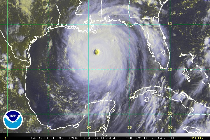
Hurricane Katrina, as pictured in the Gulf of America at 21:45 UTC on August 28, 2005.
Click HERE for more This Day in Weather History from the Southeast Regional Climate Center.

