
A significant heat wave is underway for the Intermountain West, Northern Plains, and Upper Great Lakes, peaking in intensity through midweek and lingering across parts of the Northern Plains and Midwest until this weekend. In southwest Texas, excessive rainfall may bring a risk for potentially life-threatening flash and arroyo flooding through Thursday. Read More >
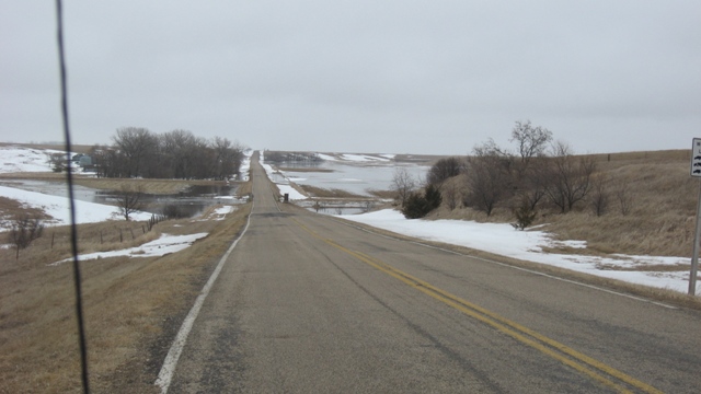
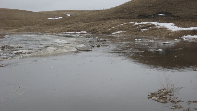
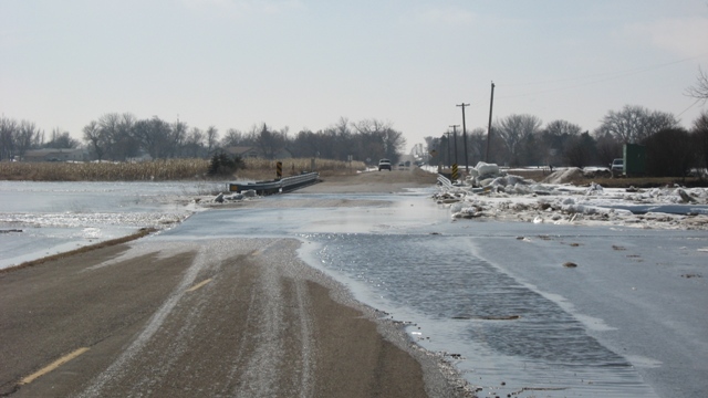
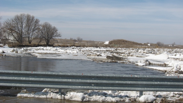
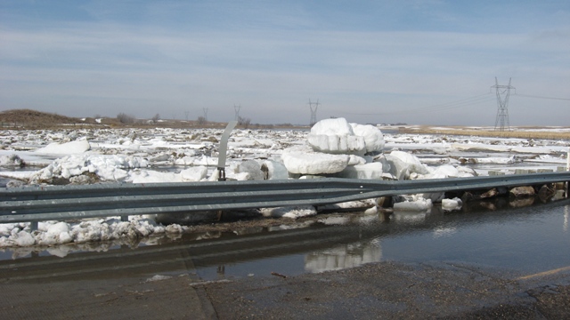
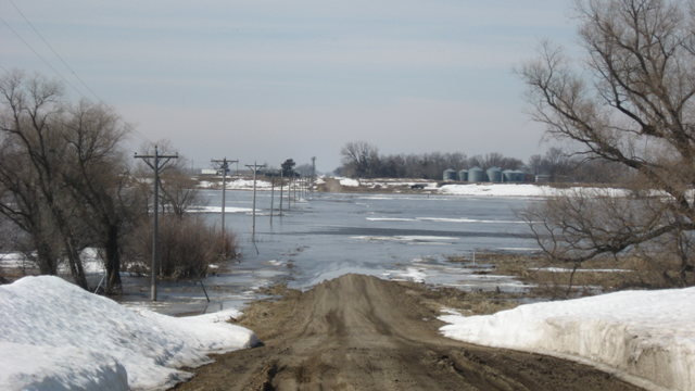
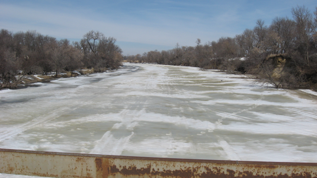
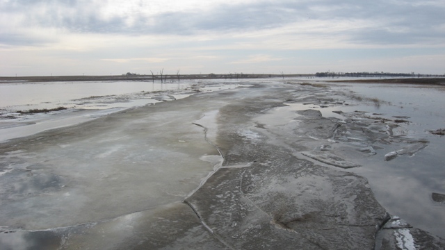
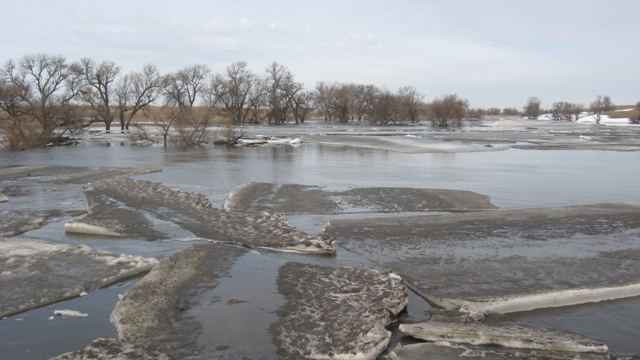
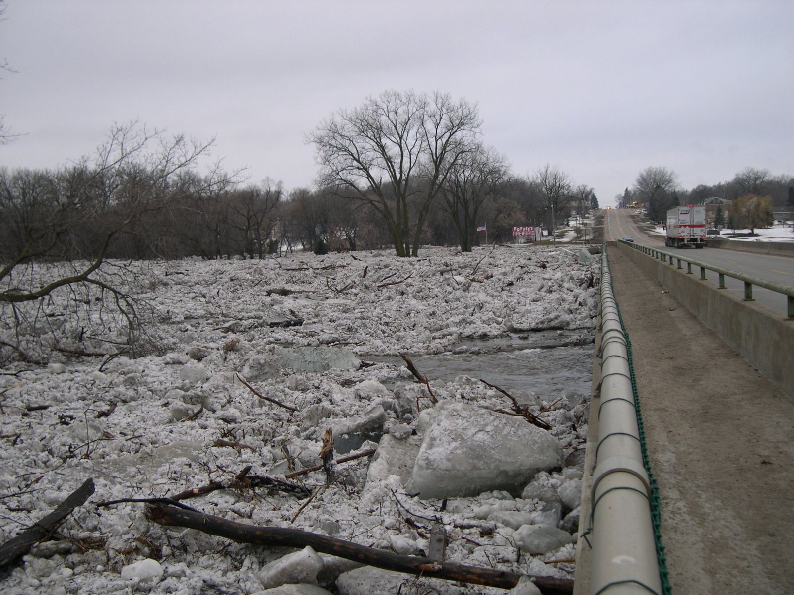
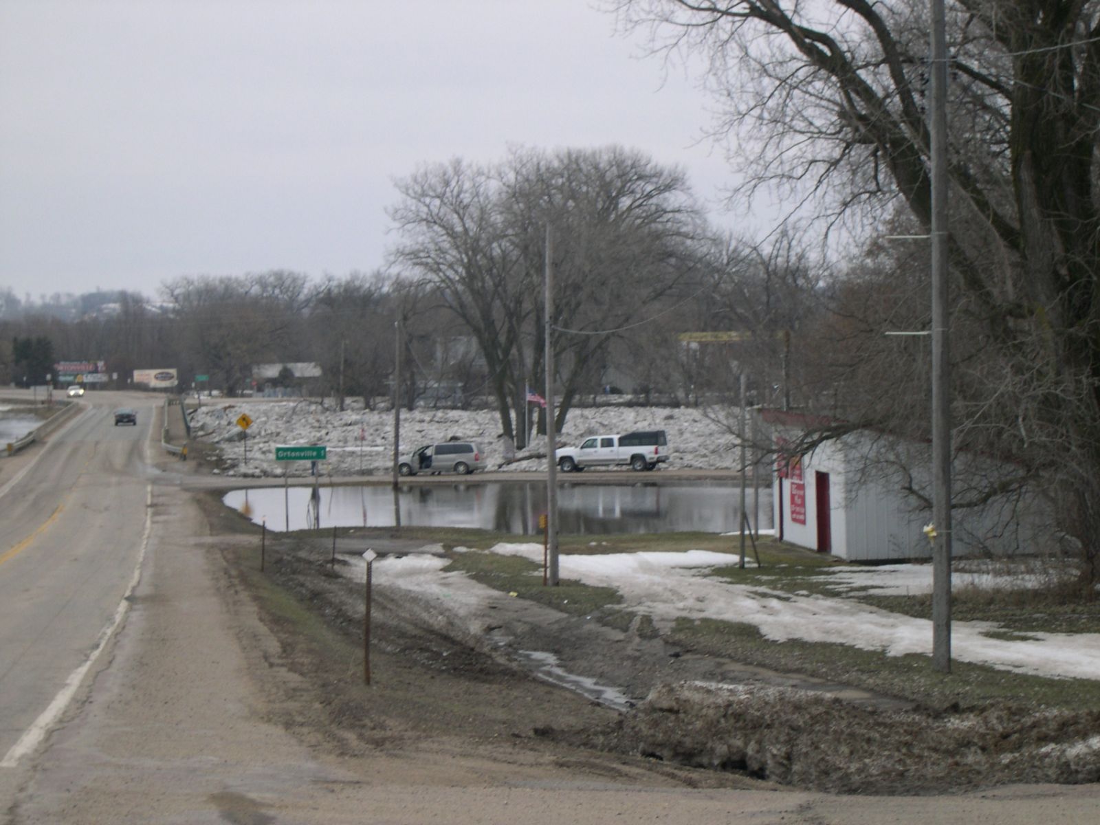
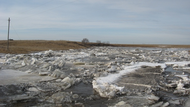
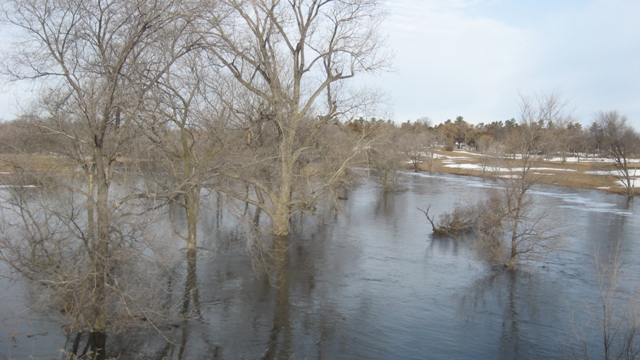
(As of March 19th, 2010): Elevated river levels are expected to persist throughout much of eastern and northeastern South Dakota and west-central Minnesota. The James and Elm Rivers continue to experience moderate to major flooding, with the Big Sioux and Little Minnesota Rivers seeing minor to moderate flood levels. Several tributaries of the main stem rivers remain above flood stage as well -- with additional rises in river levels expected. Rapid ice jam flooding will continue to be a significant threat through at least the upcoming weekend as well.
In addition to the river flooding, widespread areal or overland flooding is also ongoing. Sloughs, ponds, lakes, and other low lying areas will continue to experience water rises with flooding of secondary and county roads imminent.
Please monitor the following links for the latest information on river levels and expected crests:
James and Elm Rivers:
 |
 |
 |
 |
 |
 |
 |
 |
 |
 |
 |
 |
 |

