On the evening of June 26, 2013 conditions were favorable for "Mini" or "Low-Topped" supercells. Generally speaking, supercells are classified as either 1) Classic, 2) High Precipitation (HP), or 3) Low Precipitation (LP). The supercells that occur over the Plains states are often accompanied by large hail, strong and gusty winds and weak to violent tornados. Visually, they are often large both horizontally and vertically.
National Weather Service Doppler radars (WSR-88D), however, have revealed a number of supercells that are definitely smaller in both horizontal and vertical extent than those typical of the Plains. Nevertheless, these smaller storms often possess the same radar attributes, albeit sometimes more subtle, as their larger counterparts, including hook echoes, weak echo regions (WERs) , bounded weak echo regions (BWERs), and mesocyclones. In essence, these storms are miniature versions of large, classic supercells and contain low echo tops; thus, they have been called "mini supercells" or "low-topped supercells" . On radar, mini supercells can be isolated (similar to classic storms) or embedded within squall lines (similar to HP storms).
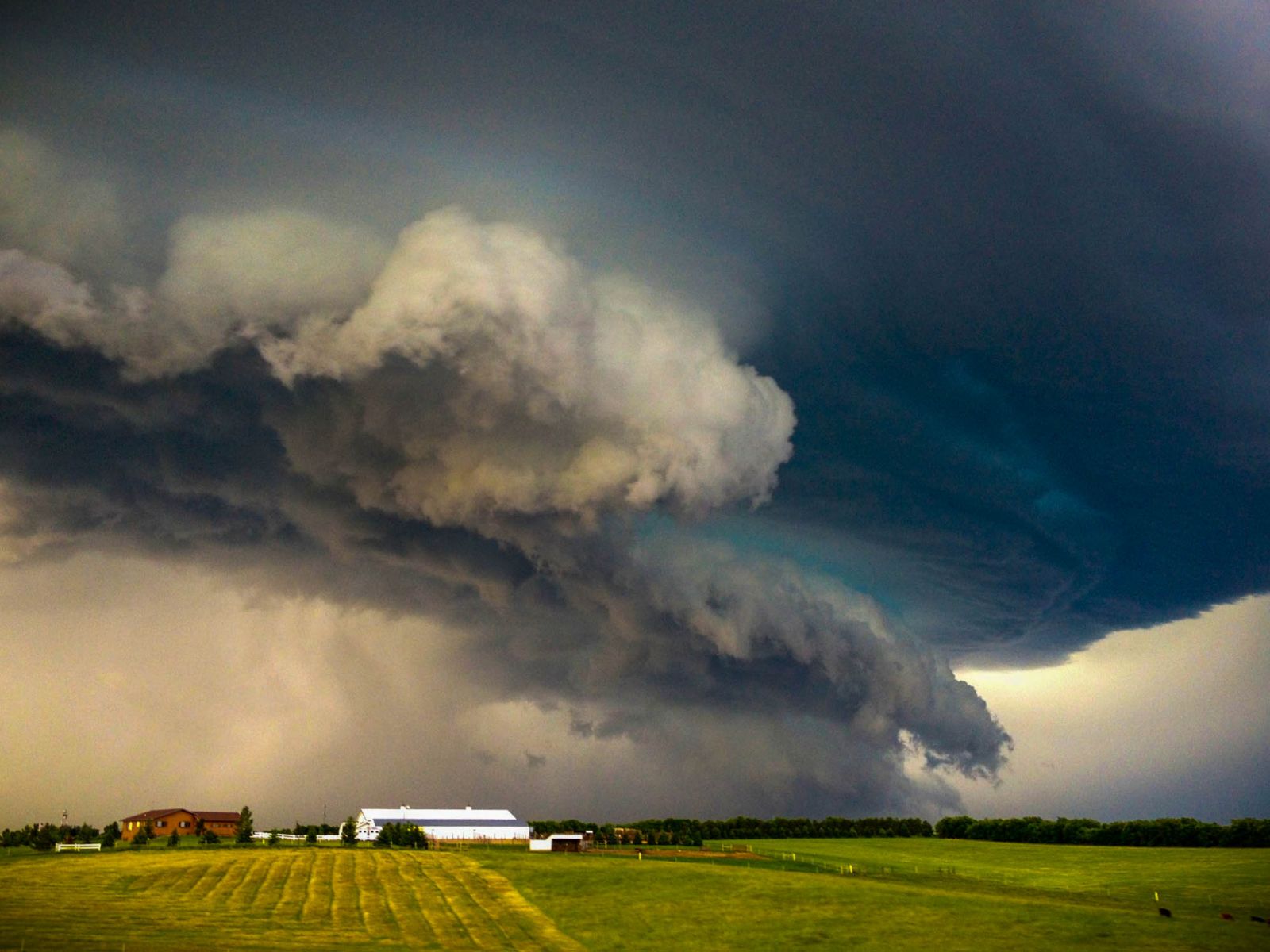
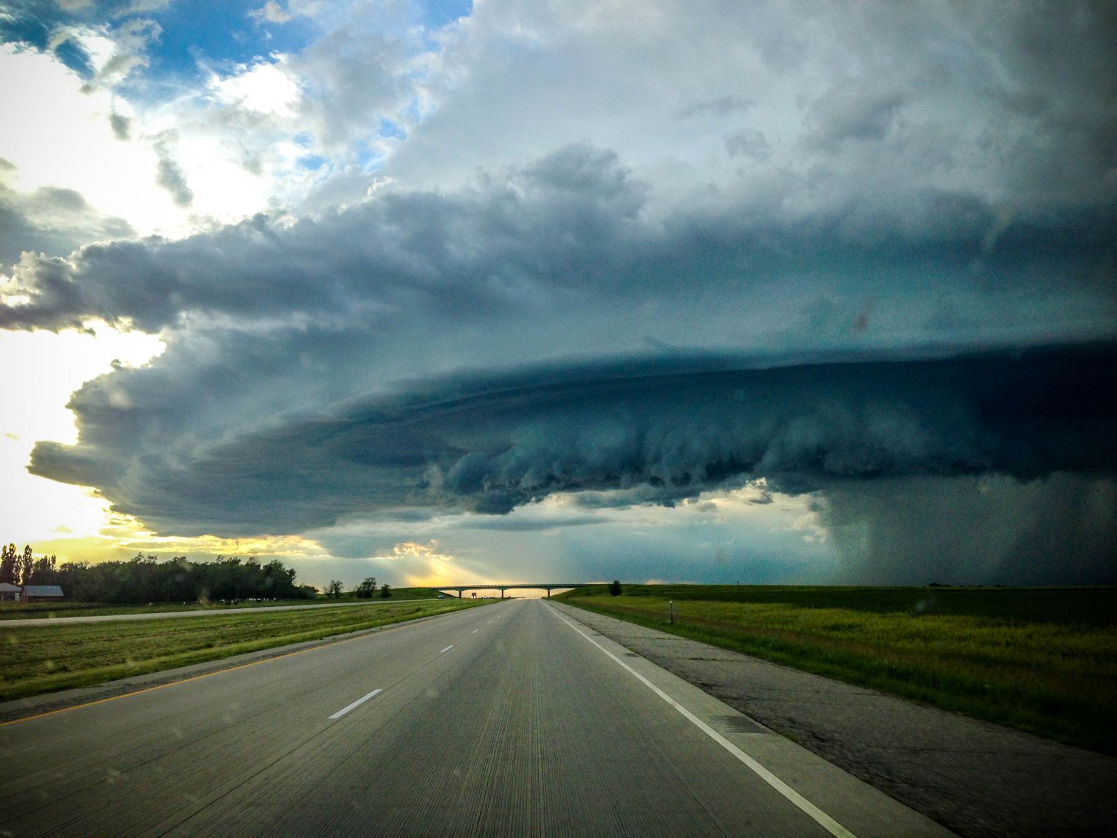
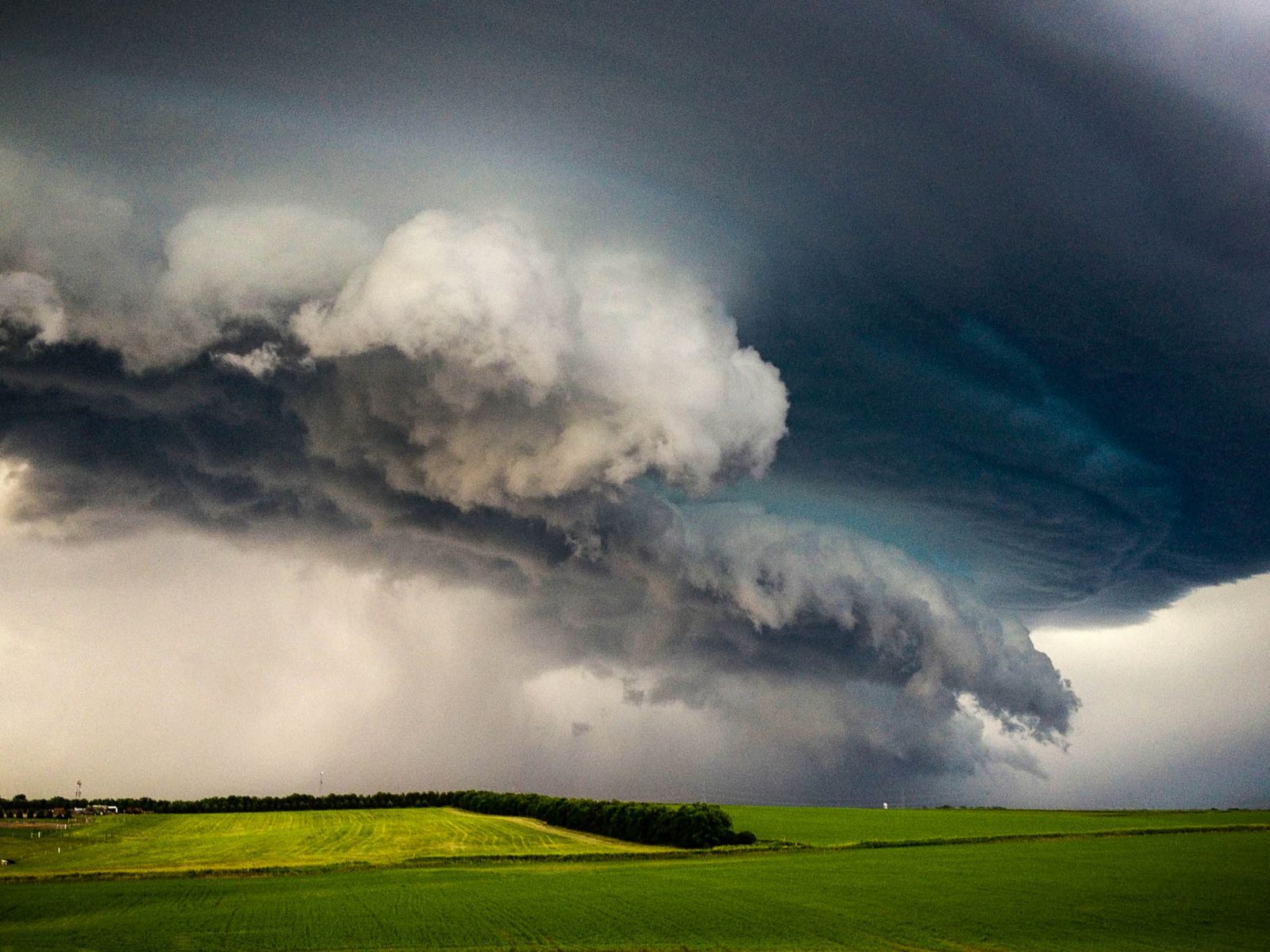
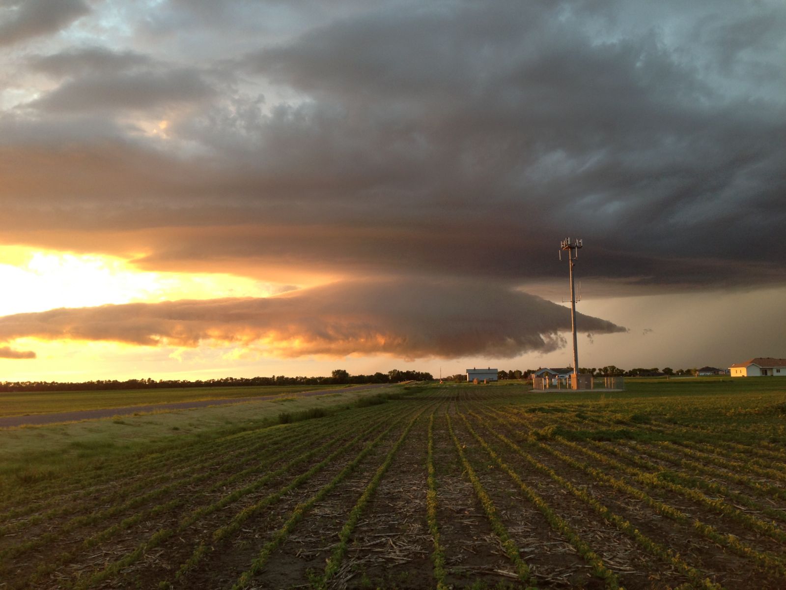
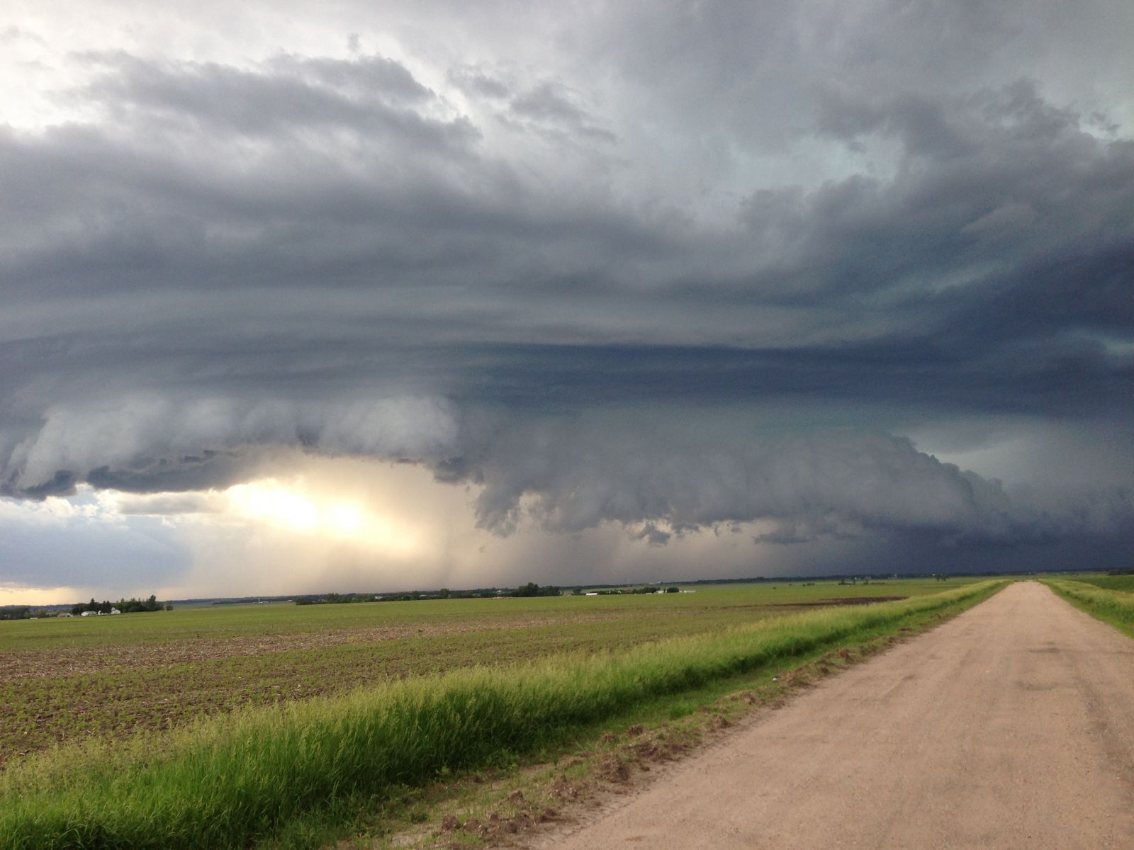
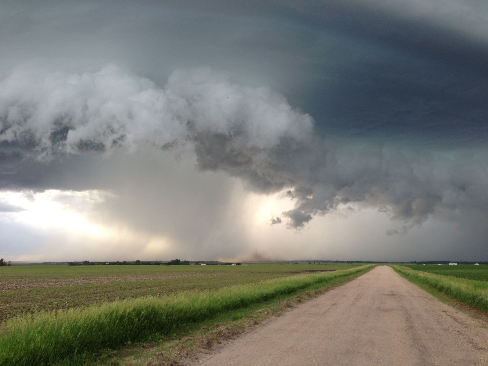
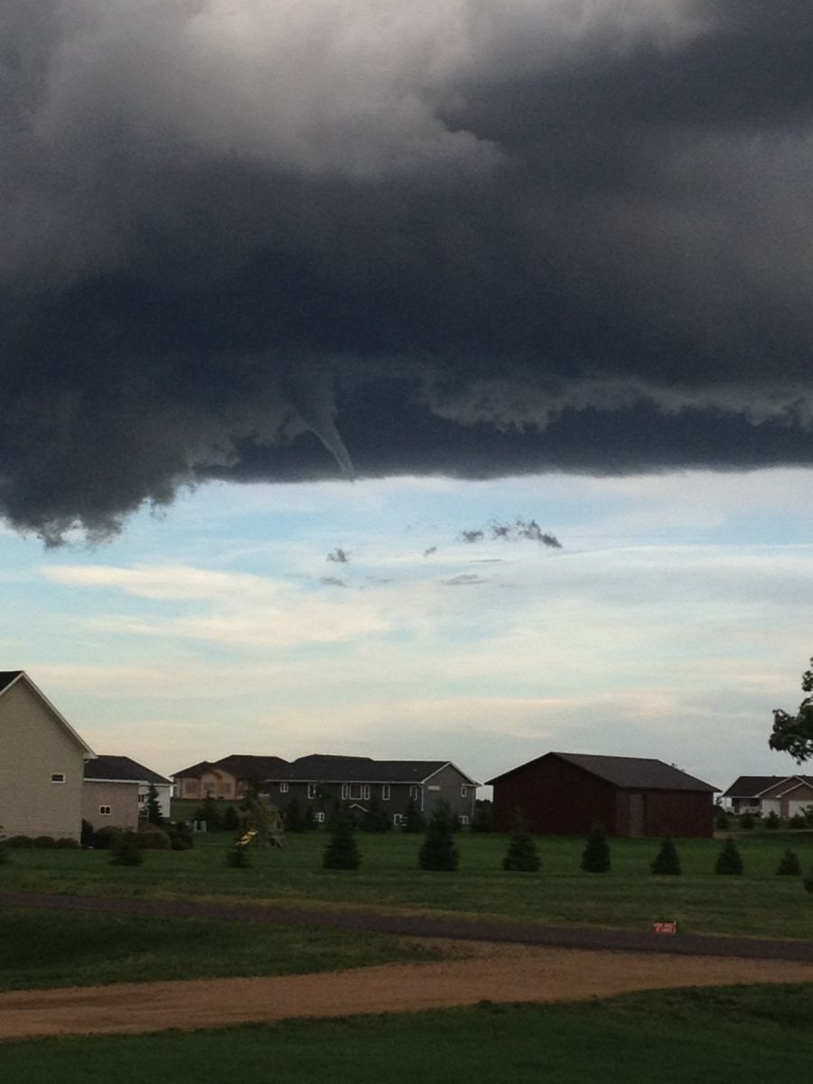
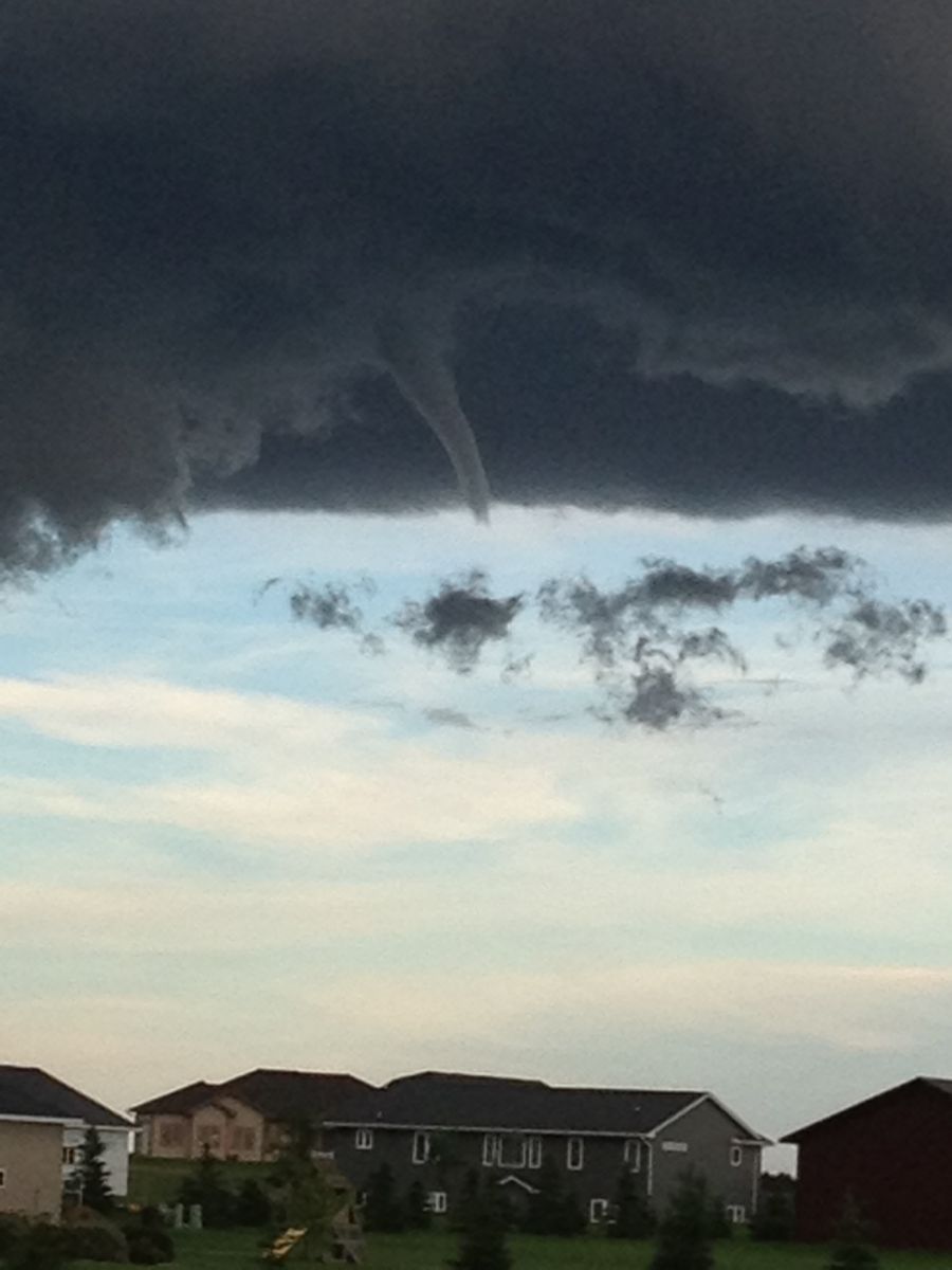
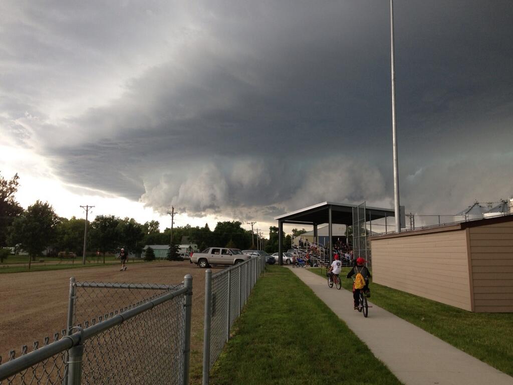
Below are some pictures that were received from the evening of June 26, 2013 of the mini-supercell that occurred over northeast South Dakota. Click the picture to see a larger version.
From the Watertown Area - Photos courtesy of Kyle G. Horst, Watertown Public Opinion
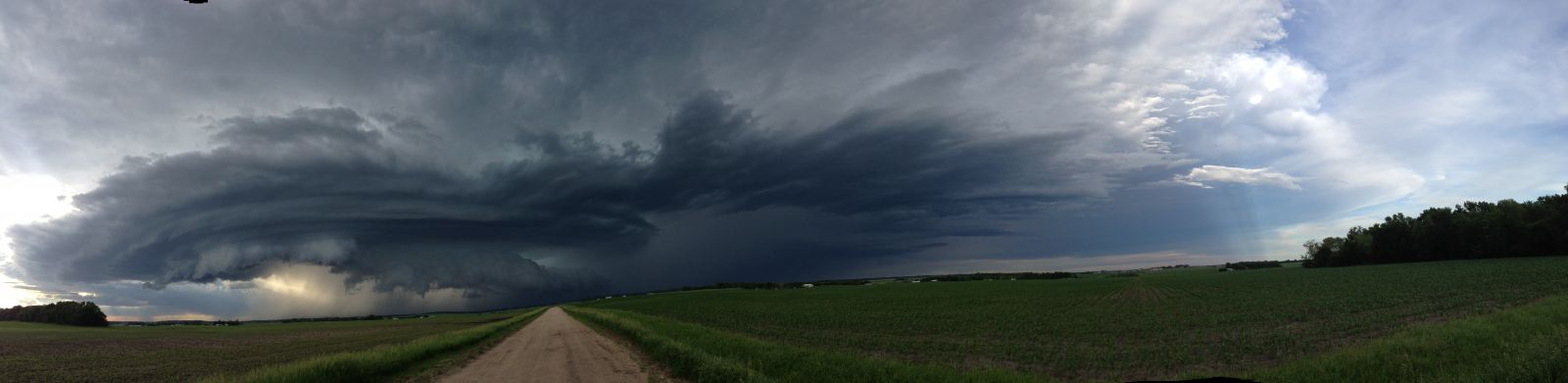
Photos courtesy of Darci Bendix - Watertown spotter
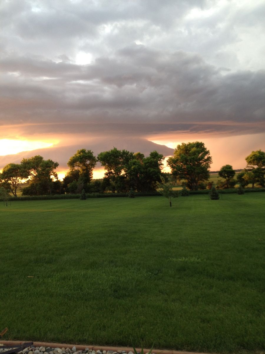
Photos courtesy of Alyssa Jonker - located north of Watertown
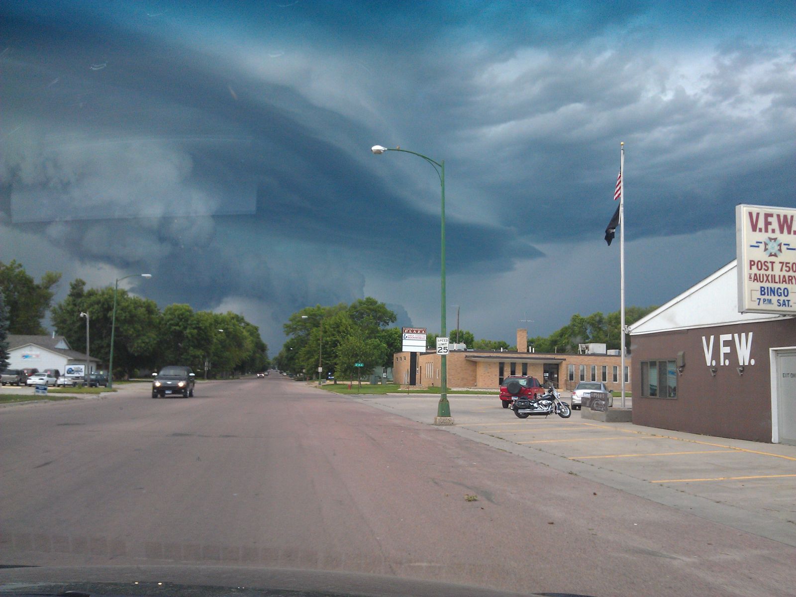
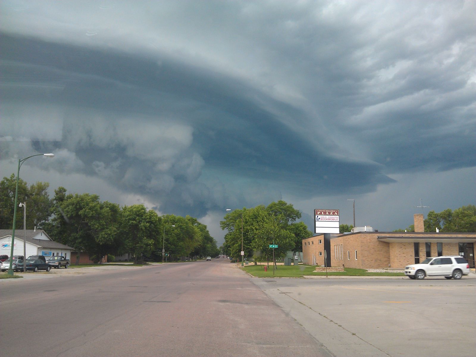
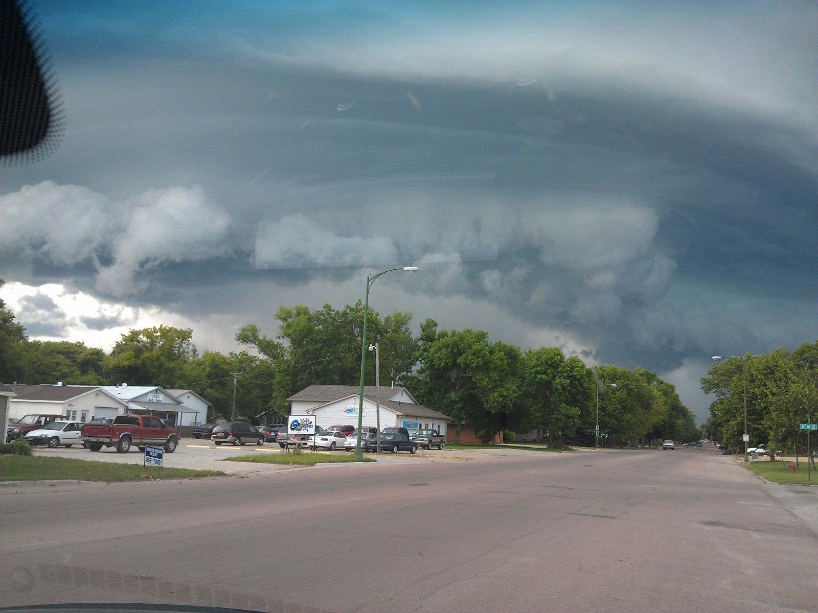
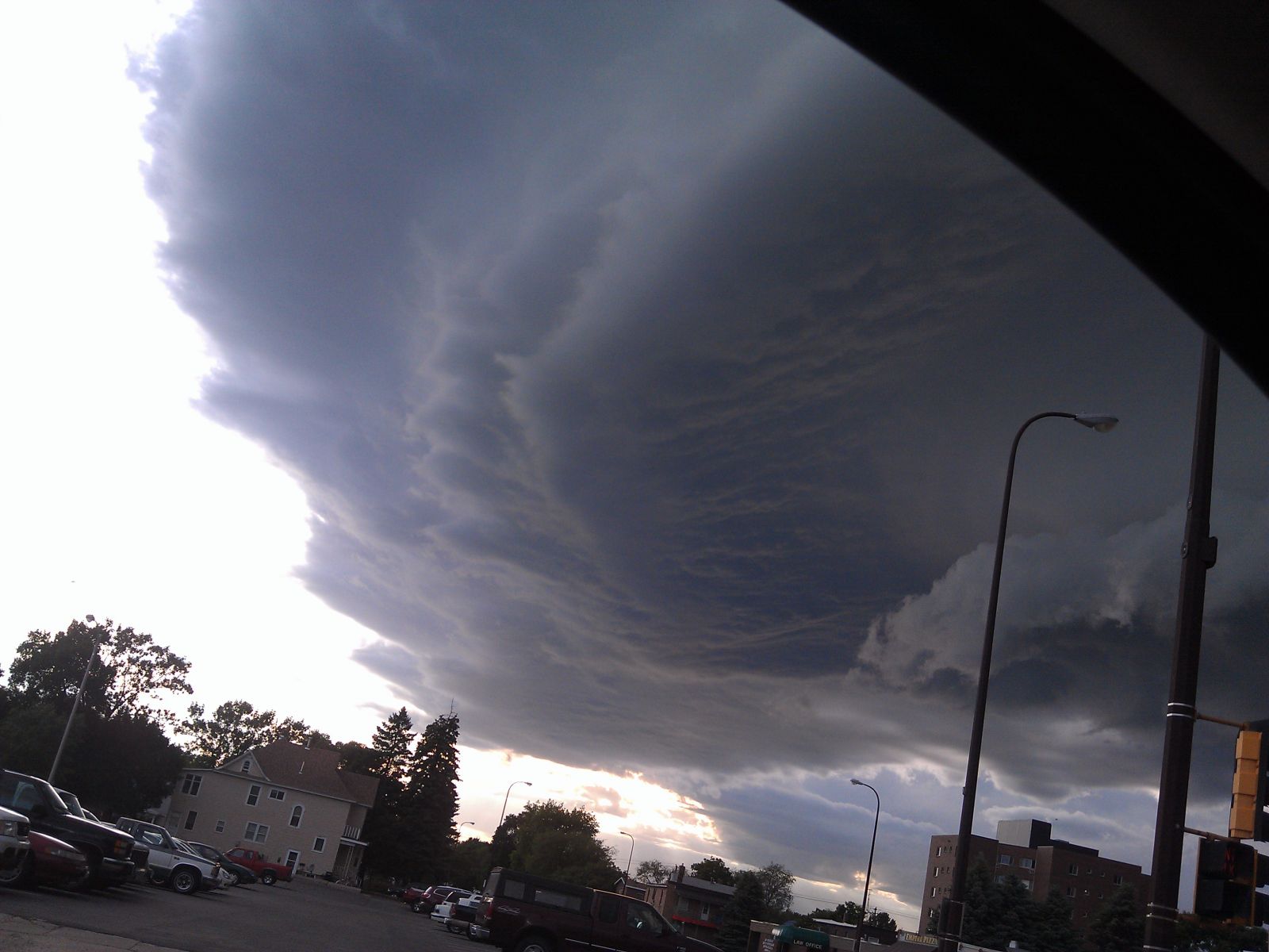
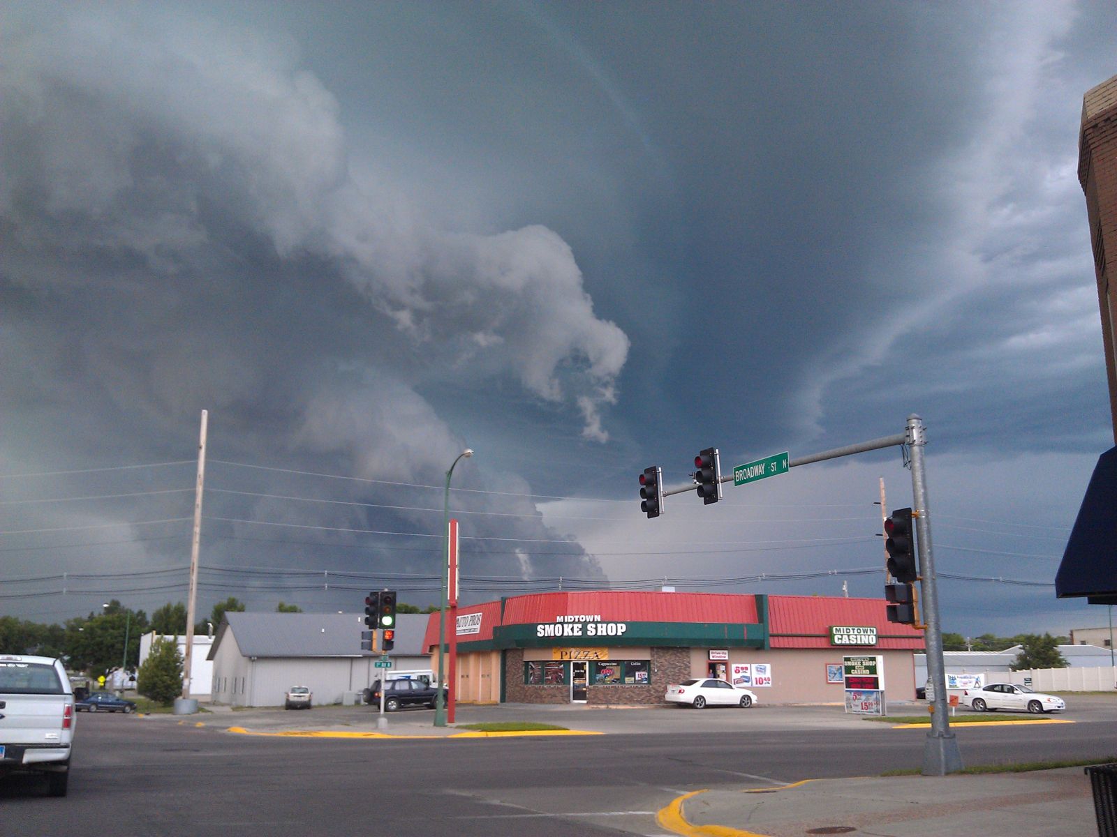
Photo courtesy of ssjnimma (report via twitter)
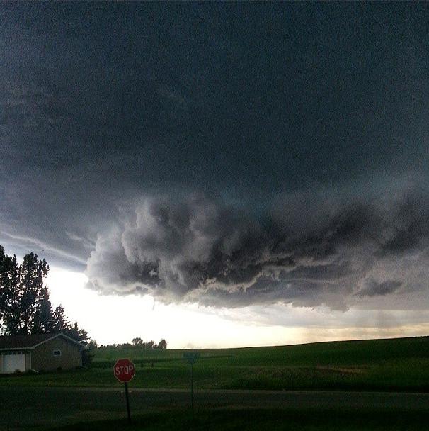
Photo courtesy of Sarah Harms - Webster area
Photos courtesy of Kristin Gaikowski - south of Watertown