
A heat wave over the Southwest will intensify this week, peaking and expanding into the Intermountain West and northern High Plains this weekend. Critical to extremely critical fire weather conditions are forecast from the Northwest and the northern Great Basin this weekend. Particularly Dangerous Situation Red Flag Warnings have been issued. Read More >
Storm Summary:
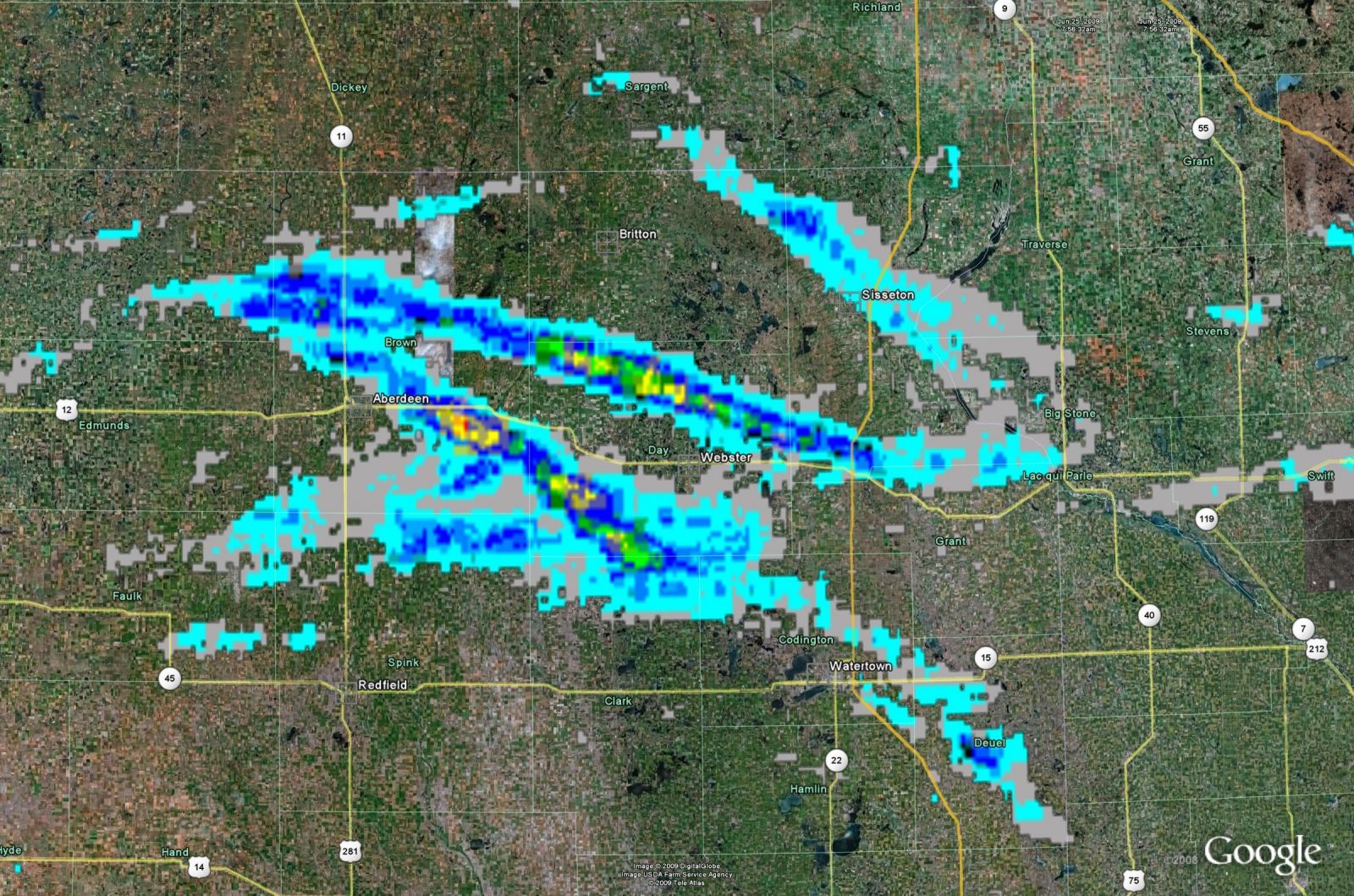
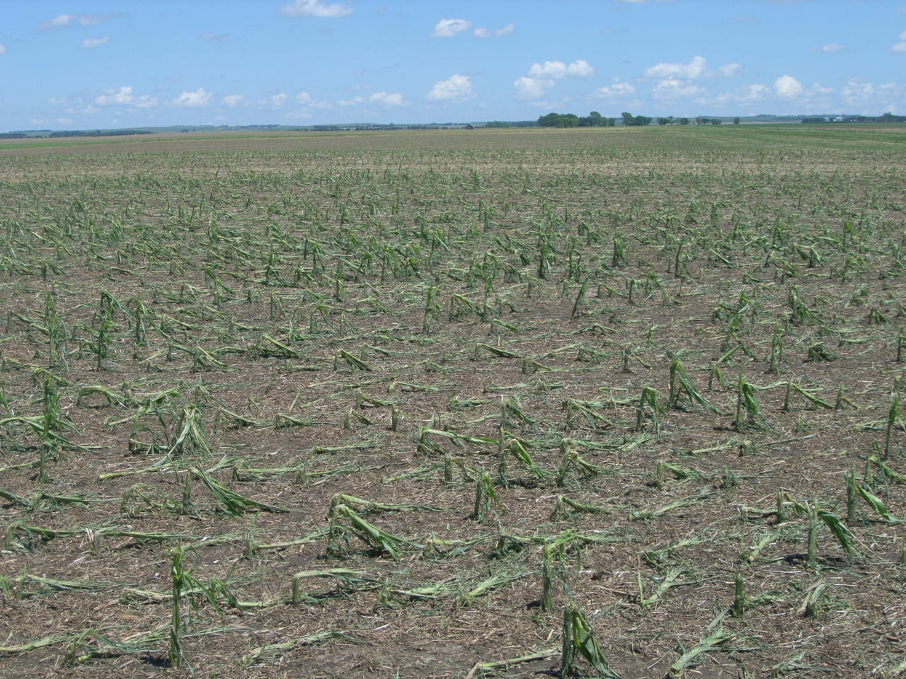
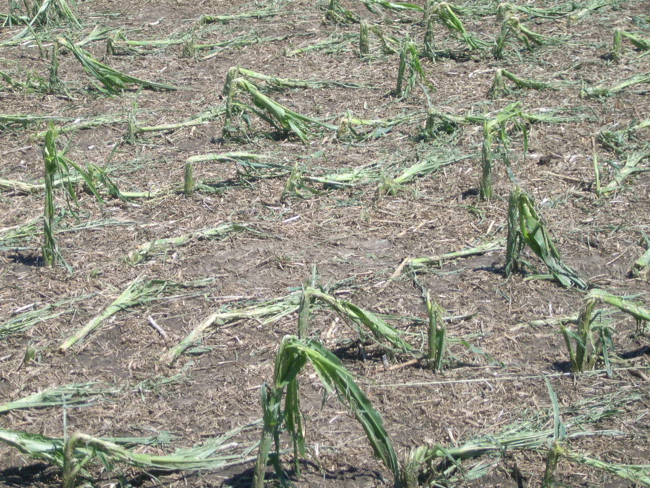
In addition to the tornadoes, multiple reports of very large hail were received over Brown and Day Counties, including some to the size of tennis balls or baseballs (2.5” diameter). Several vehicles were severely damaged due to the hail. Significant crop damage from the hail was also surveyed. The most widespread crop damage appeared to be concentrated in southeastern Brown County, as well as northern and southeastern Day County (see image with hail swaths below).
Storm Reports:
.jpg)
Image Depicting Location of Large Hail Swaths and Photos of Hail Damage:


Other Storm Photos:

Picture of large hail taken 6 miles south and 4 miles east of Groton on HWY 37. Photo courtesy of Michelle Johnson.

Large hail near Groton. Photo courtesy of Michelle Johnson.
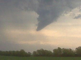
Funnel spotted 4 miles east of Groton on HWY 12. Photo courtesy of Michelle Johnson.
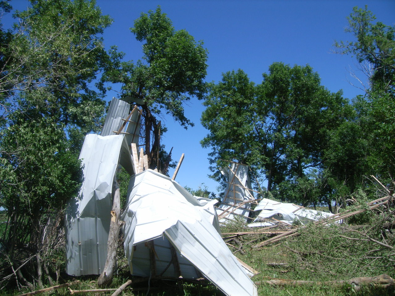
Damage to farm outbuilding near Langford.
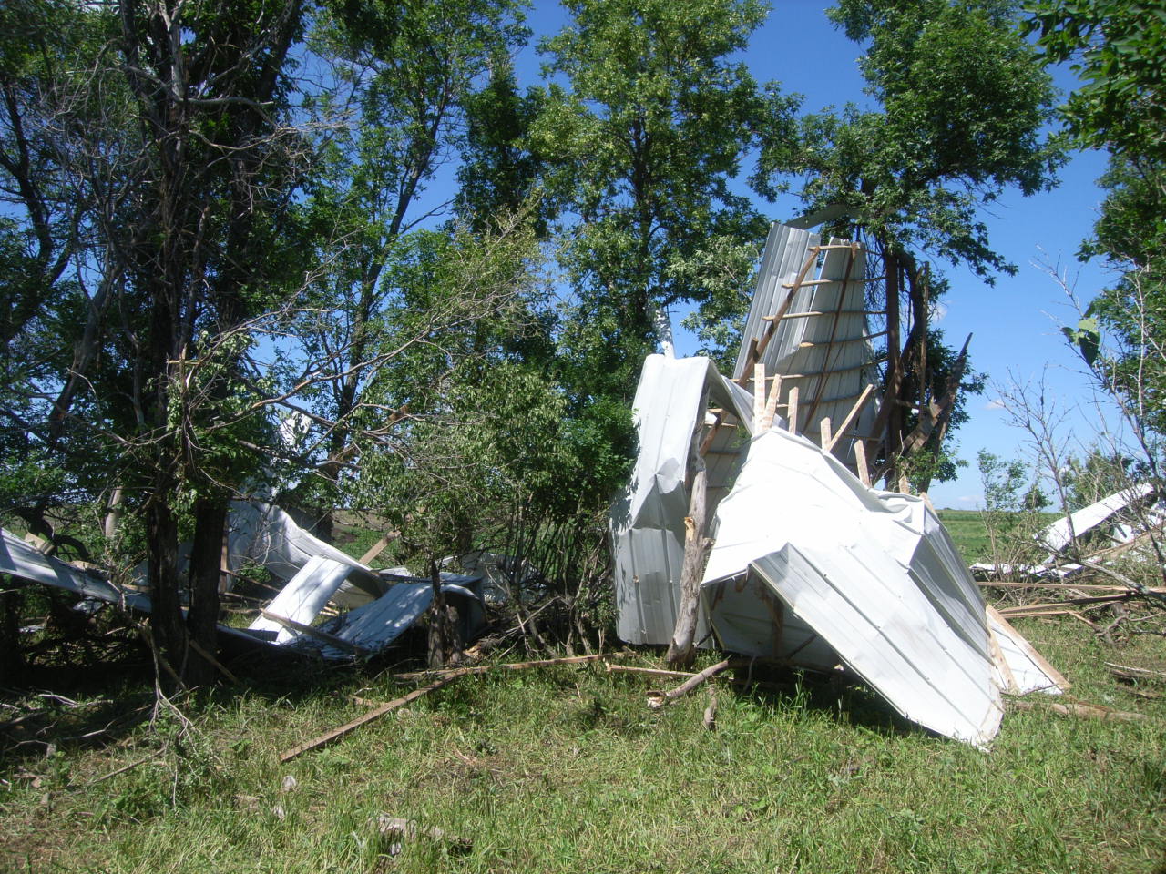
Damage to farm outbuilding near Langford.
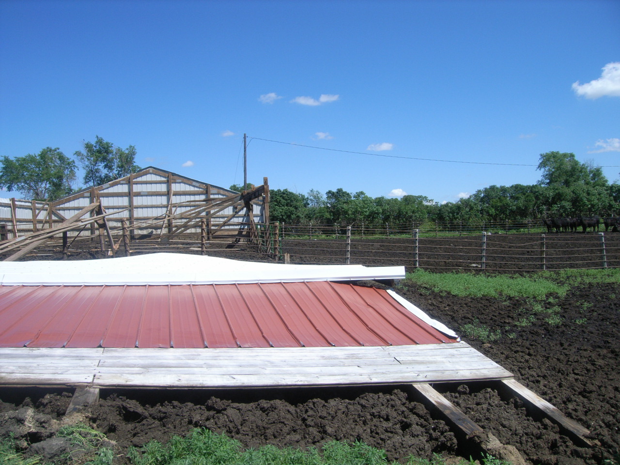
Damage to farm outbuilding near Langford.

