Juneau, AK
Weather Forecast Office
You must have Acrobat Reader to view the brochures.
Specialty Areas
Space Weather
Spot Forecast
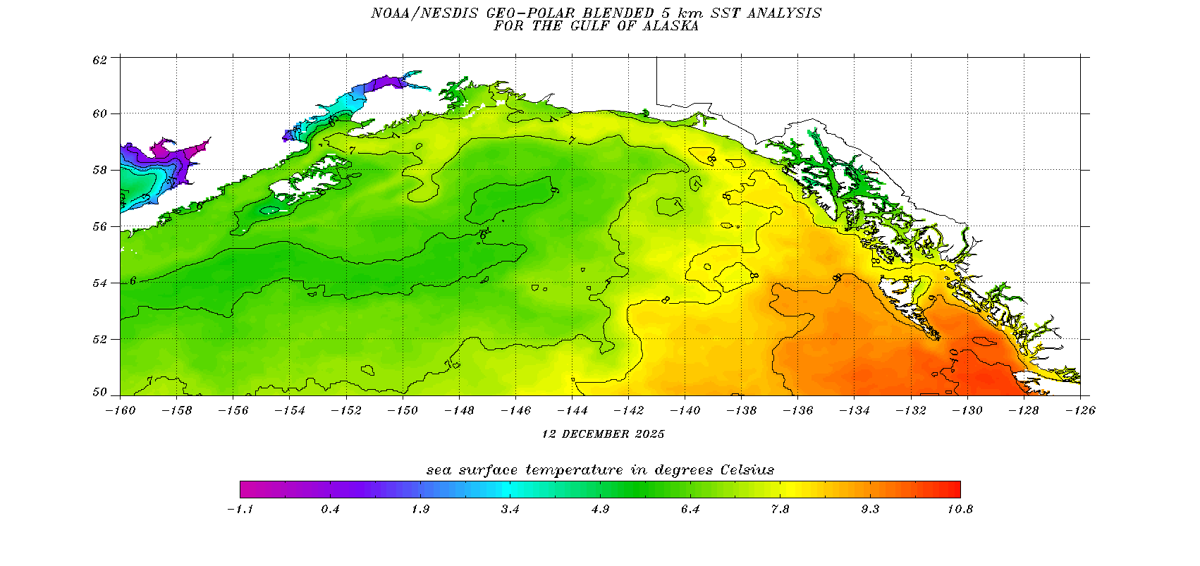
Ocean Surface Temperatures
Tide Data
COOP Program
Observation Newsletters
Juneau Wind Network
SkyWarn
NOAA Weather Radio
Tsunami Warning Center
Alaska Weather Line (AWIL)
External Links
FAA Aviation Web Cameras
DOT Web Cameras
CoCoRahs
Aurora Forecasts
Sunrise / Sunset Times
Canadian Weather - Marine
Canadian Weather - Public
AK 511
Yukon 511
Drive BC
CBJ Avalanche Forecast
CBJ Air Quality
US Dept of Commerce
National Oceanic and Atmospheric Administration
National Weather Service
Juneau, AK
8500 Mendenhall Loop Road
Juneau, AK 99801
907-790-6800
Comments? Questions? Please Contact Us.

