Juneau, AK
Weather Forecast Office
Most of the USGS monitoring camera equipment is working at this time.
Currently the "front on basin" camera is sending images two per day at 9am and 4pm AKDT. There has been some issues with the main basin imagery but the USGS is looking into the issue. The lower and upper overflow cameras are sending images once per day at 8am and 2pm AKDT respectively. The USGS upper overflow channel camera can send images hourly via the cell network and will once water hits that area.
Current Basin Status:
Data from the laser gauge and cameras in the basin show that the basin continues to fill. As of 4:00pm September 29th, the basin is at 1,189ft. The height of the overflow channel is around 1,347ft. We will continue to monitor the levels inside the basin through the fall and will provide additional updates as needed.
The rate of filling will slow through the fall months as freezing levels continue to lower. Currently the freezing levels is around 4000 feet and this freezing level will fluctuate with individual weather systems but see it continue to fall through October and into November. This freezing level will also limit water level rises on Mendenhall Lake from rain events when the freezing levels are less than 5000 feet.
In 2024, a secondary release occurred October 19-21. In 2025, a secondary release occurred September 14-16. The crests for these respective releases were 10.77' for 2024 and 9.63' for 2025. A secondary release could occur at anytime. Check back for updates as NWS will continue to monitor and update this web page as needed.
NWS and our partners will be reviewing all the data from August 2026 event and will issue a report over the next month so check back for that in the future.
Specialty Areas
Space Weather
Spot Forecast
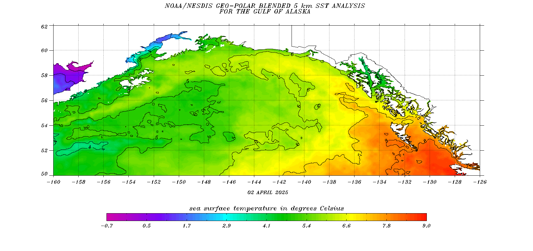
Ocean Surface Temperatures
Tide Data
COOP Program
Observation Newsletters
Juneau Wind Network
SkyWarn
NOAA Weather Radio
Tsunami Warning Center
Alaska Weather Line (AWIL)
External Links
FAA Aviation Web Cameras
DOT Web Cameras
CoCoRahs
Aurora Forecasts
Sunrise / Sunset Times
Canadian Weather - Marine
Canadian Weather - Public
AK 511
Yukon 511
Drive BC
CBJ Avalanche Forecast
CBJ Air Quality

US Dept of Commerce
National Oceanic and Atmospheric Administration
National Weather Service
Juneau, AK
8500 Mendenhall Loop Road
Juneau, AK 99801
907-790-6800
Comments? Questions? Please Contact Us.


 Follow us on X
 Follow us on Facebook
 AJK RSS Feed