National Weather Service United States Department of Commerce

Areas of Severe Thunderstorms and Excessive Rainfall Today

A few severe thunderstorms with large hail and damaging winds are possible this evening into tonight from eastern Kansas into western and central Missouri. Thunderstorms with heavy to excessive rainfall may produce flooding through tonight over parts of the northern High Plains, central Missouri, and along the Florida/Georgia line. Read More >

Click a location below for detailed forecast.

Last Map Update: Sun, May 31, 2026 at 1:14:12 pm CDT

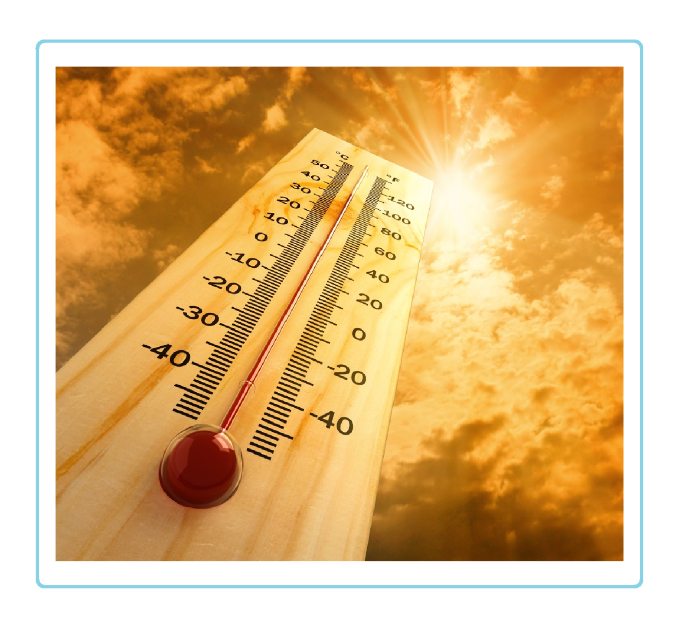
The southeastern half of the combined Panhandles is looking at some warm temperatures Sunday and Monday afternoon leading to a moderate heat risk.
Showers and thunderstorms expected primarily north of the Oklahoma Panhandle Monday afternoon into evening. However, cannot rule out some of the stronger storm activity dipping down into the Oklahoma Panhandle
A slight chance for showers and thunderstorms exist Monday into Monday evening across parts of the combined Panhandles. Highest confidence exist across the northeast especially after 7 PM. There is a low chance for any storms to become severe with large hail and damaging winds.
After a drier day on Sunday, moisture will return to the Panhandles on Monday but more so on Tuesday into Wednesday. With a low pressure system moving in across the western US, this will allow for daily chances for showers and storms to develop over the Southern Plains. Severe storms will be possible during this time frame as well, but confidence in widespread severe storms is low at this time.
Temperatures will increase by a few more degrees on Sunday with widespread 90s across the Texas and Oklahoma Panhandles. Sunny skies with sustained wind around 5-10 mph are forecast throughout the day.
Will be watching for the potential of severe storms Tuesday when precipitation chances start to pick up going into Tuesday evening.

Text Product Selector (Selected product opens in current window)


Current Observations ( )
Location Sky/Weather Temp (°F) Dewpt (°F) RH (%) Wind (mph) Pressure (inHg) Remarks
 Amarillo
N/A
N/A
N/A
N/A
N/A
N/A
N/A
 Borger
N/A
N/A
N/A
N/A
N/A
N/A
N/A
 Canadian
N/A
N/A
N/A
N/A
N/A
N/A
N/A
 Dalhart
N/A
N/A
N/A
N/A
N/A
N/A
N/A
 Dumas
N/A
N/A
N/A
N/A
N/A
N/A
N/A
 Guymon
N/A
N/A
N/A
N/A
N/A
N/A
N/A
 Hereford
N/A
N/A
N/A
N/A
N/A
N/A
N/A
 Pampa
N/A
N/A
N/A
N/A
N/A
N/A
N/A
 Perryton
N/A
N/A
N/A
N/A
N/A
N/A
N/A
 Amarillo 9NNE
N/A
N/A
N/A
N/A
N/A
N/A
N/A
 Amarillo 7SSE
N/A
N/A
N/A
N/A
N/A
N/A
N/A
 Bootleg 11WNW
N/A
N/A
N/A
N/A
N/A
N/A
N/A
 Canadian 6E
N/A
N/A
N/A
N/A
N/A
N/A
N/A
 Clarendon 2WSW
N/A
N/A
N/A
N/A
N/A
N/A
N/A
 Claude 12SW
N/A
N/A
N/A
N/A
N/A
N/A
N/A
 Hereford 2NW
N/A
N/A
N/A
N/A
N/A
N/A
N/A
 McLean 1E
N/A
N/A
N/A
N/A
N/A
N/A
N/A
 Palo Duro SP
N/A
N/A
N/A
N/A
N/A
N/A
N/A
 Pampa 2E
N/A
N/A
N/A
N/A
N/A
N/A
N/A
 Umbarger 3NNE
N/A
N/A
N/A
N/A
N/A
N/A
N/A
Note: "N/A" or "MISG" will be displayed if values are not available. In the LOCATION column, click on links for a list of recent observations at sites of interest. In the WIND column, VRB is "variable" and G is "gust". In the REMARKS column, HX is "heat index", WCI is "wind chill index", and VSB is "visibility" (if shown).


Aviation Drought Fire Weather Hydrology Severe Weather Winter Weather
 
Climate Graphs Hourly Forecast Long Range Local Model Data Precip Maps Heat
 
Education Local Research News Skywarn Weather Calculator Weather Radio