NWS Birmingham, Alabama
Weather Forecast Office
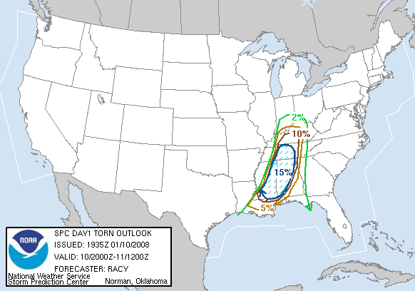
Tornado Outbreak January 10, 2008
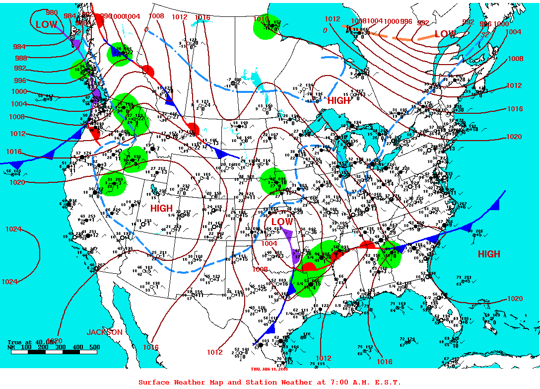
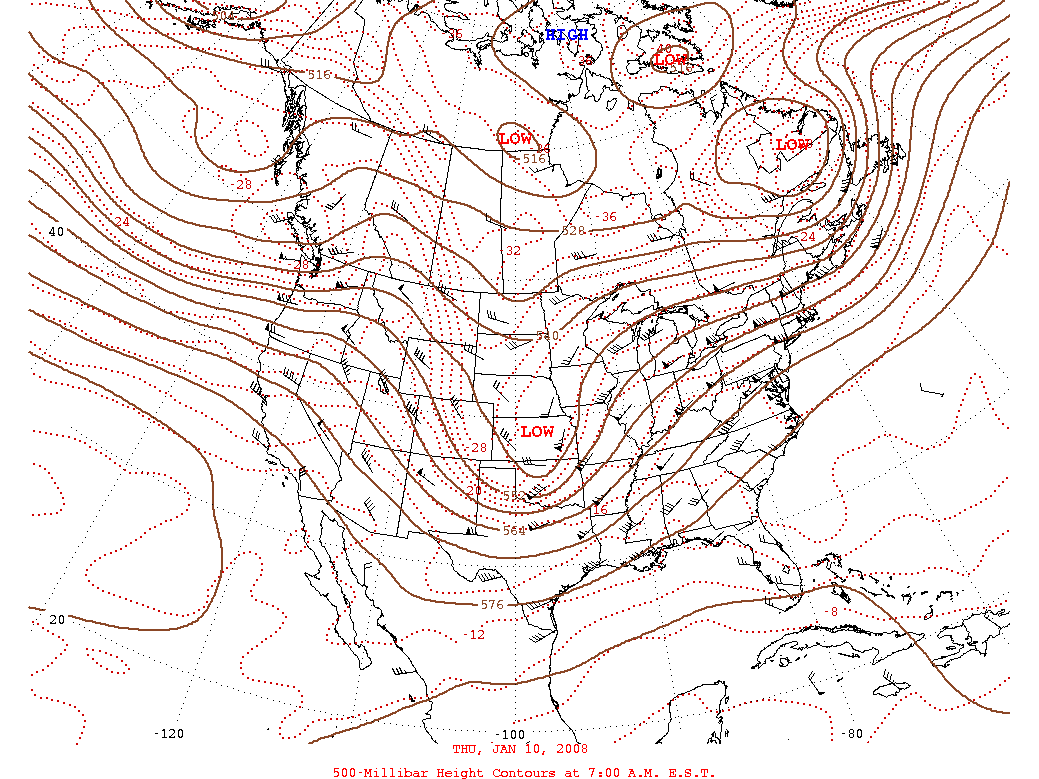
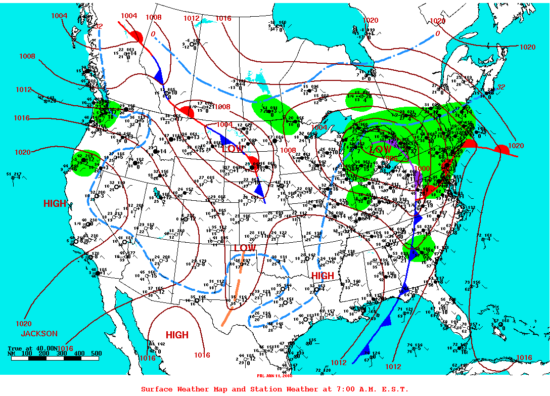
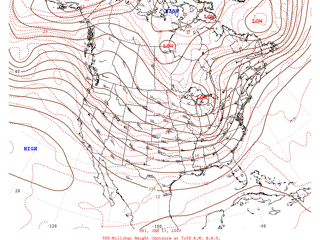
An unseasonably warm and moist airmass was located across southern Alabama on the morning of January 10th. As a strong upper level trough approached from the west, this warm and moist airmass accelerated northward and encompassed all of Central Alabama by noon. Supercell thunderstorms then developed ahead of an approaching cold front and continued across Central Alabama through the early morning hours on January 11th. Numerous damage reports were received in association with these supercell thunderstorms.
The following tornado damage paths have been identified:
Windham Springs Tornado (EF3), Tuscaloosa County
Lamar County Tornado (EF3)
Gordo Tornado (EF1), Pickens/Tuscaloosa County
Pickensville Tornado (EF0), Pickens County
Blue Springs Tornado (EF1), Barbour County
Dixons Mill Tornado (EF0), Marengo CountySevere Weather Episode Data
|
|
||||||||||||||||||
View Latest Public Information Statement...Click Here
Preliminary Local Storm Report...Click Here
Current Hazards
National Outlooks
Tropical
Local Storm Reports
Public Information Statement
Graphical Hazardous Weather Outlook
Current Conditions
Regional Weather Roundup
Rivers and Lakes
Drought Monitor
Forecasts
Air Quality
Fire Weather
Aviation Weather
Graphical Forecasts
Forecast Discussion
Climate and Past Weather
Past Events
Storm Data
Tornado Database
Daily Rainfall Plots
Tropical Cyclone Reports
Monthly Climate
Annual Climate
Warnings and Other Products
Tornado Warnings
Severe Thunderstorm Warnings
Flash Flood Warnings
Winter Weather Warnings
Special Weather Statements
Non-Precipitation Warnings
Flood/River Flood Warnings
Productos en Español
Conciencia y Preparación
Previsión de 7 Días
Weather Safety
NOAA Weather Radio
Severe Weather Preparedness
Severe Safety Rules
Tornado Safety Rules
Severe Safety w/ ASL
Awareness Weeks
Severe Weather
Hurricane Preparedness
Summer Safety Campaign
Winter Weather
US Dept of Commerce
National Oceanic and Atmospheric Administration
National Weather Service
NWS Birmingham, Alabama
465 Weathervane Road
Calera, AL 35040
205-664-3010
Comments? Questions? Please Contact Us.