National Weather Service United States Department of Commerce

Tornadoes of January 19, 2019

Event Summary for Central Alabama

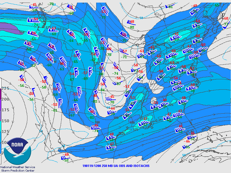
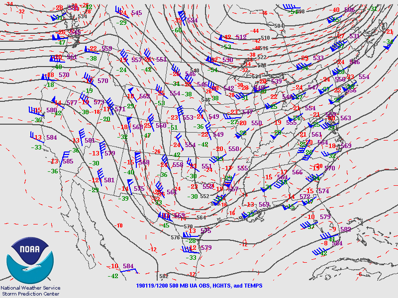
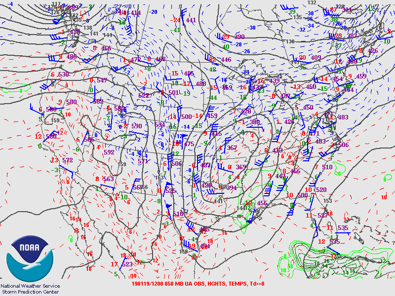
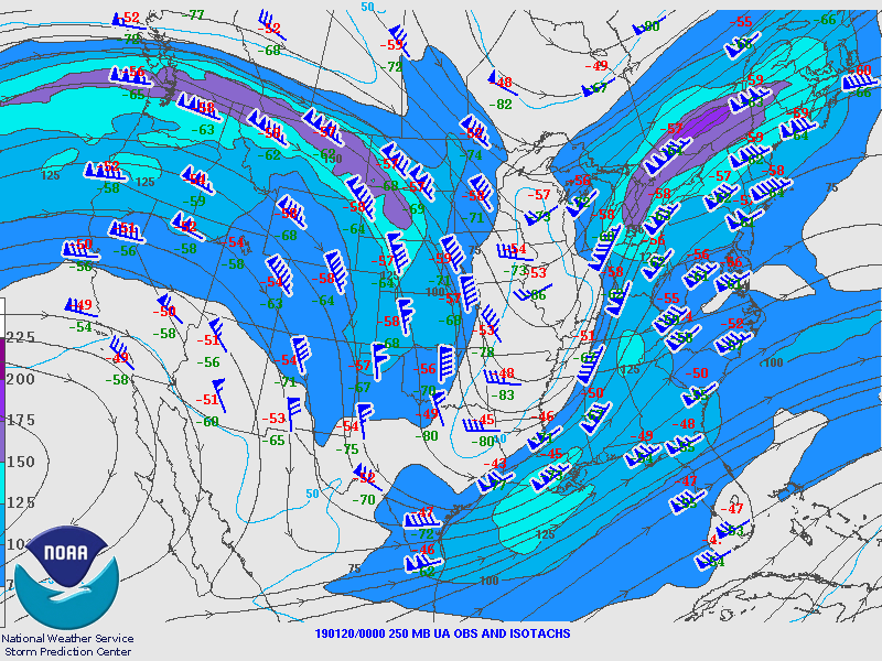
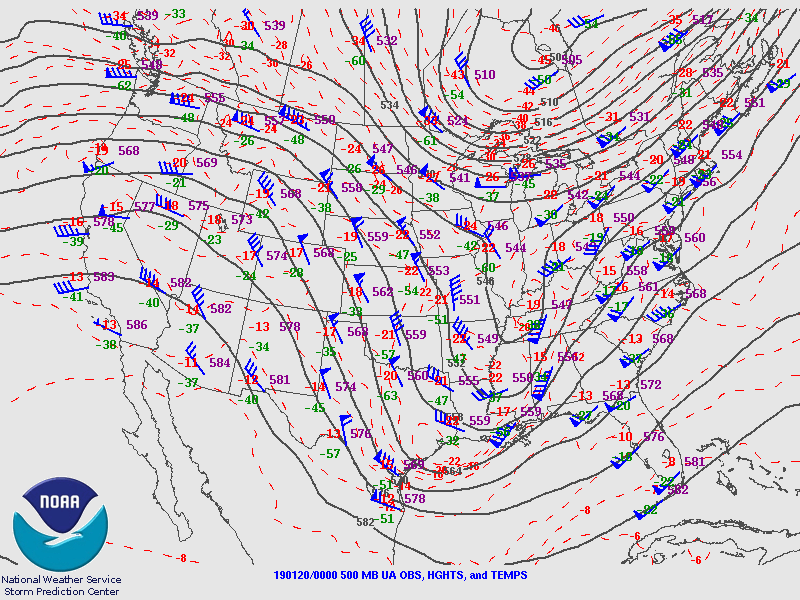
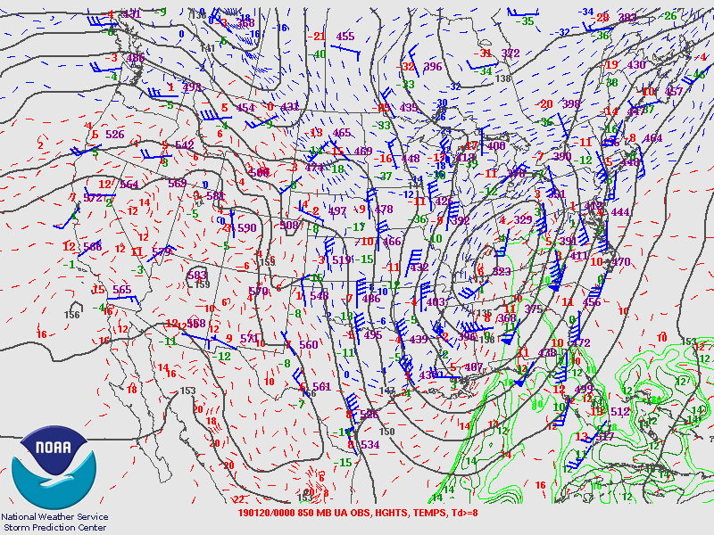
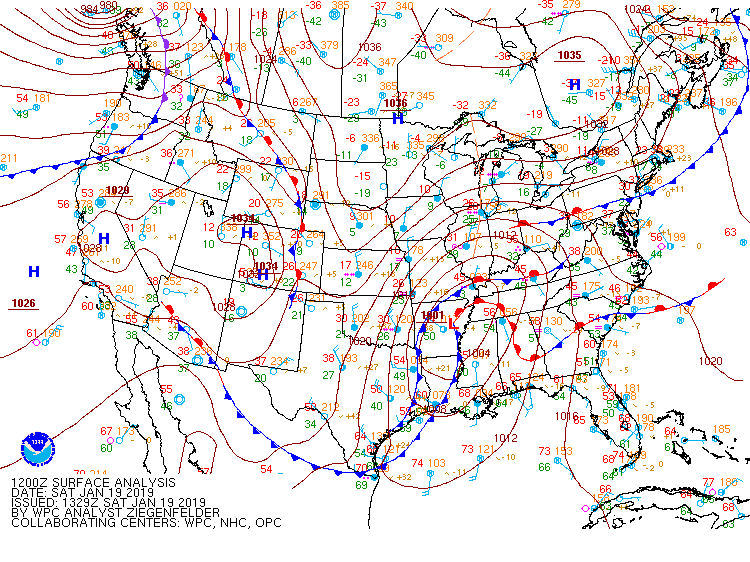
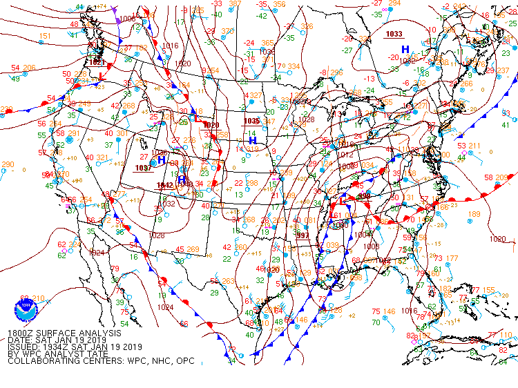
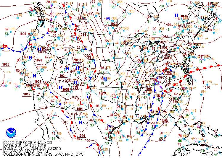
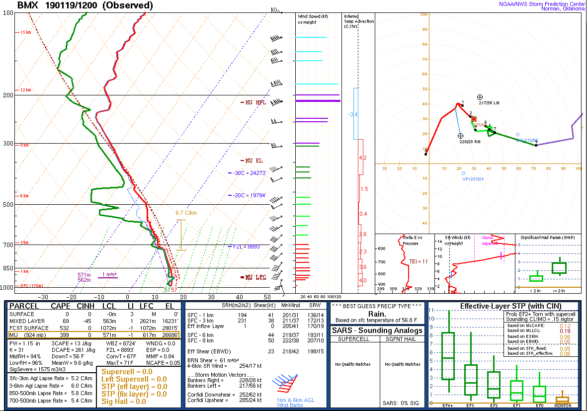
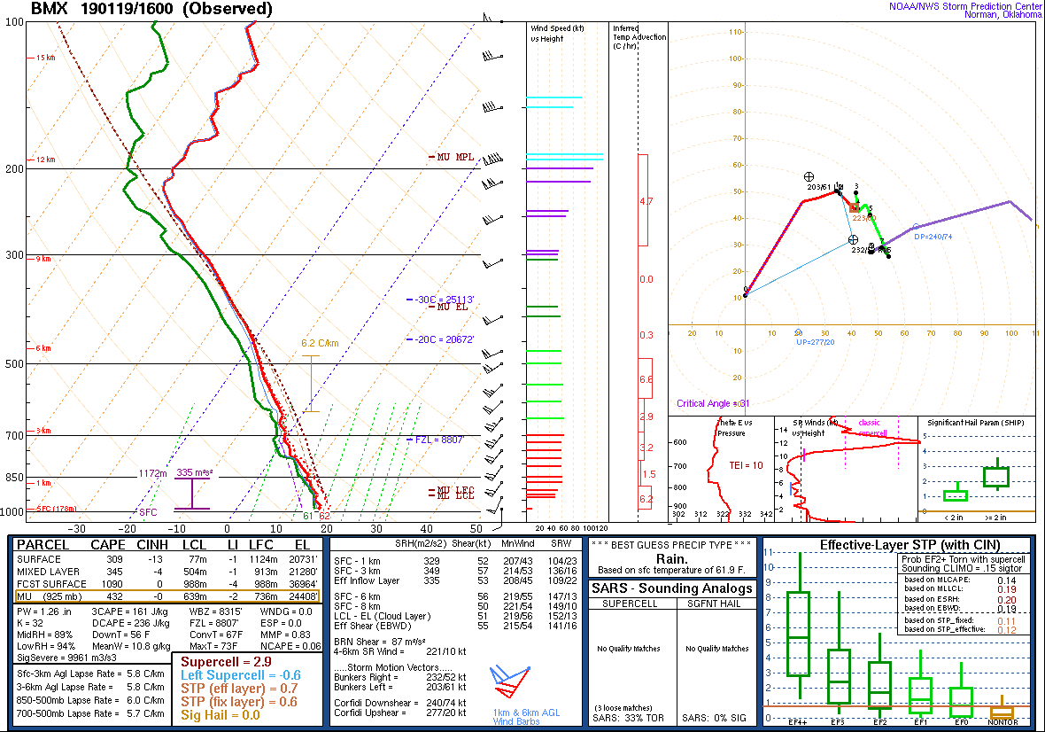
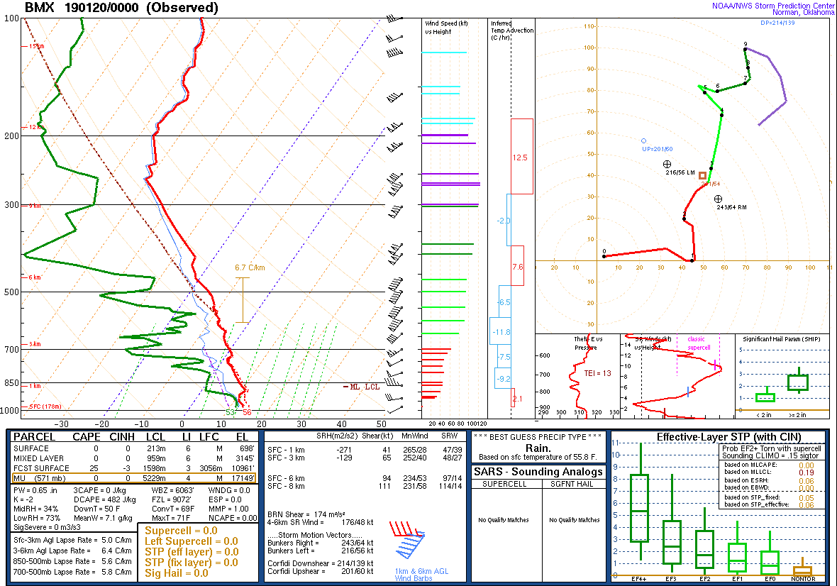
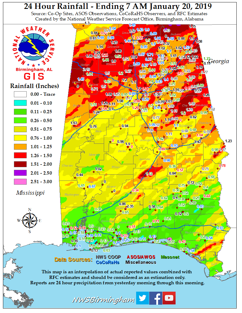
A strong storm system developed over the southern Plains on Friday. The surface low pressure area deepened as it moved northeastward across the lower Mississippi Valley early Saturday. Gusty southerly winds ushered 60s surface dew points into south-central Alabama. The strong storm system was accompanied by high wind shear values, forcing, and lift. The strong southerly winds allowed the temperatures to warm quickly into the 60s. The combination of this high-shear environment and just enough surface instability was conducive to severe thunderstorm development.

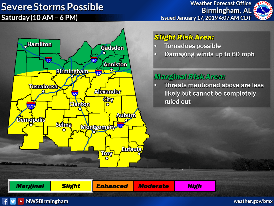
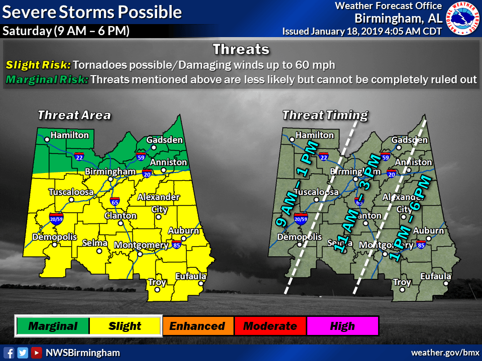
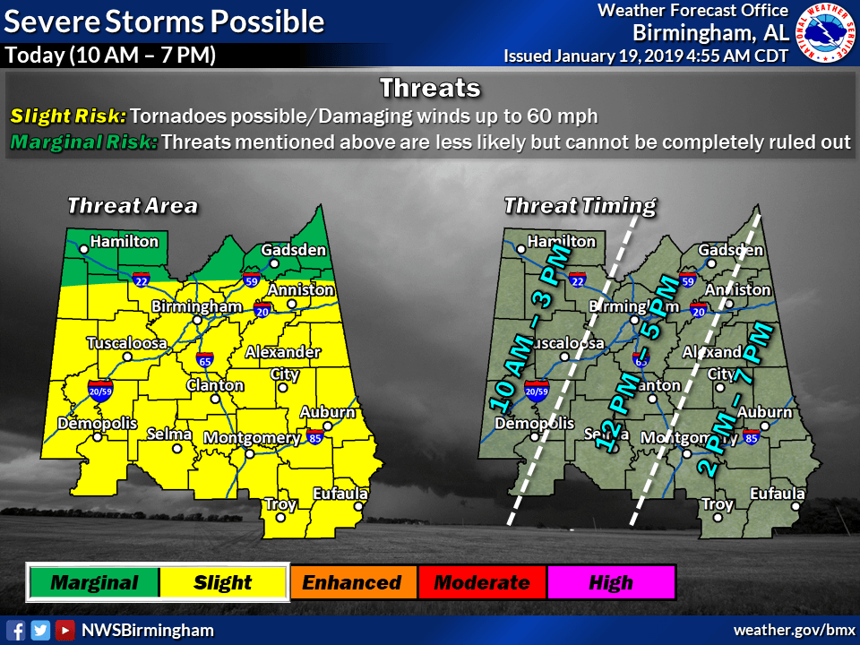
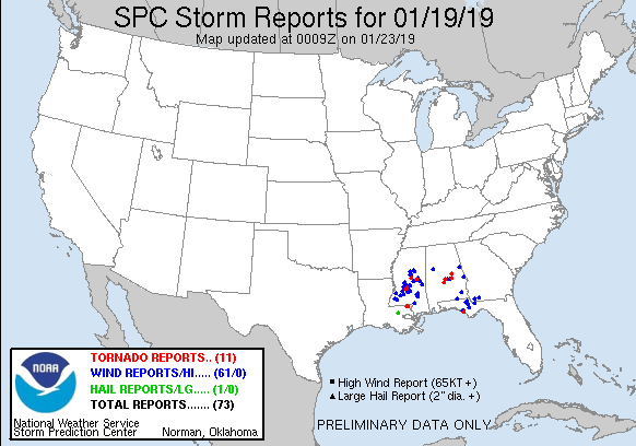
Several rotating thunderstorms were present within a broken line of storms that moved through Central Alabama on Saturday. A total of 4 tornadoes touched down and affected Dallas, Autauga, Elmore and Coosa Counties. In addition to these tornadoes, there were a few reports of damaging straight-line winds and numerous reports of trees down due to the strong winds both ahead and behind the strong cold front.

This strong January storm system also caused severe weather in Louisiana, Mississippi, Georgia, and Florida.

Interactive Tornado Map:
 
 
Location/Clickable Detailed Summary Link
Damage Rating/Estimated Maximum Wind Speeds
Injuries/Fatalities
Damage Path Length/Width
Starting Point/Time
Ending Point/Time
Tyler Tornado
(Dallas/Autauga Counties)
EF-1
100 mph
None
6.18 miles
75 yards

7.5 SE Selma
32.3482/-86.7275
1:47 pm CST

11.2 ESE Selma
32.3981/-86.8233
1:55 pm CST
Booth Tornado
(Autauga County)
EF-1
90 mph
2 Injuries
9.29 miles
400 yards

6.5 NW Autaugaville
32.4847/-86.7275
2:04 pm CST

4.9 NNW Booth
32.5467/-86.5900
2:17 pm CST
EF-2
135 mph
4 Injuries
18.18 miles
700 yards

3 SW Wetumpka
32.5202/-86.2370
2:52 pm CST

4 NE Eclectic
32.6824/-85.9927
3:15 pm CST
EF-1
100 mph
None
1.70 miles
112 yards

2 W Cottage Grove
32.8535/-86.1551
2:58 pm CST

1 SSE Hissop
32.8762/-86.1439
3:01 pm CST
 

Pertinent Geographic Information Systems (GIS) Data from this Event


Severe Weather Episode Data 

250 mb
250 mb Analysis
January 19 at 6 am

500 mb
500 mb Analysis
January 19 at 6 am

850 mb
850 mb Analysis
January 19 at 6 am

250 mb
250 mb Analysis
January 19 at 6 pm

500 mb
500 mb Analysis
January 19 at 6 pm

850 mb
850 mb Analysis
January 19 at 6 pm

Surface
Surface Analysis
January 19 at 6 am

Surface
Surface Analysis
January 19 at 12 pm

Surface
Surface Analysis
January 19 at 6 pm

Severe Threats
Local Severe Outlook
Issued January 17 at 4 am

Severe Threats
Local Severe Outlook
Issued January 18 at 4 am

Severe Threats
Local Severe Outlook
Issued January 19 at 5 am

KMBX Sounding
KBMX Sounding
January 19 at 6 am

KBMX Sounding
KBMX Sounding
January 19 at 10 am

KBMX Sounding
KBMX Sounding
January 19 at 6 pm

Storm Reports
Storm Reports
 January 19

Radar Loop
January 19 9am-3pm

Rainfall Plot
Rainfall Plot
January 19