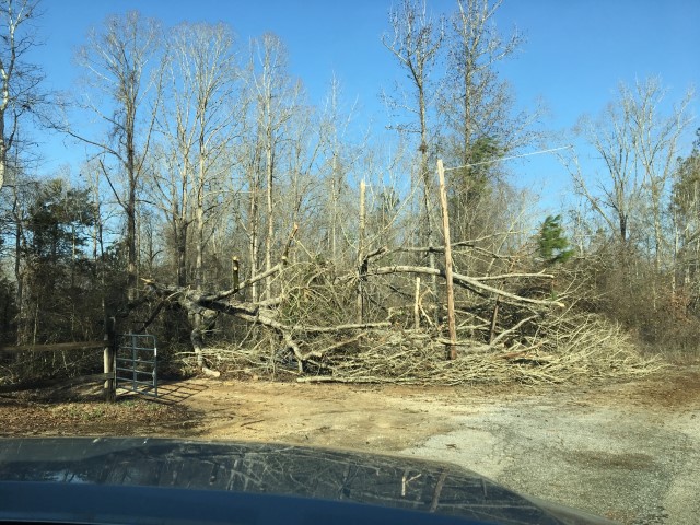
The National Weather Service surveyed damage in southeastern Bibb County and determined the damage was the result of a tornado. The tornado touched down just to the west of Shady Grove Road just north of the Randolph Community in SE Bibb County. About 20-30 trees were either snapped or uprooted. Roof damage occurred to one home on Shady Grove Loop when a tree fell on it. Another home had a few shingles removed on Alabama Highway 139. The tornado was estimated to have dissipated just to the east of Highway 139.
Radar Data & Damage Pictures
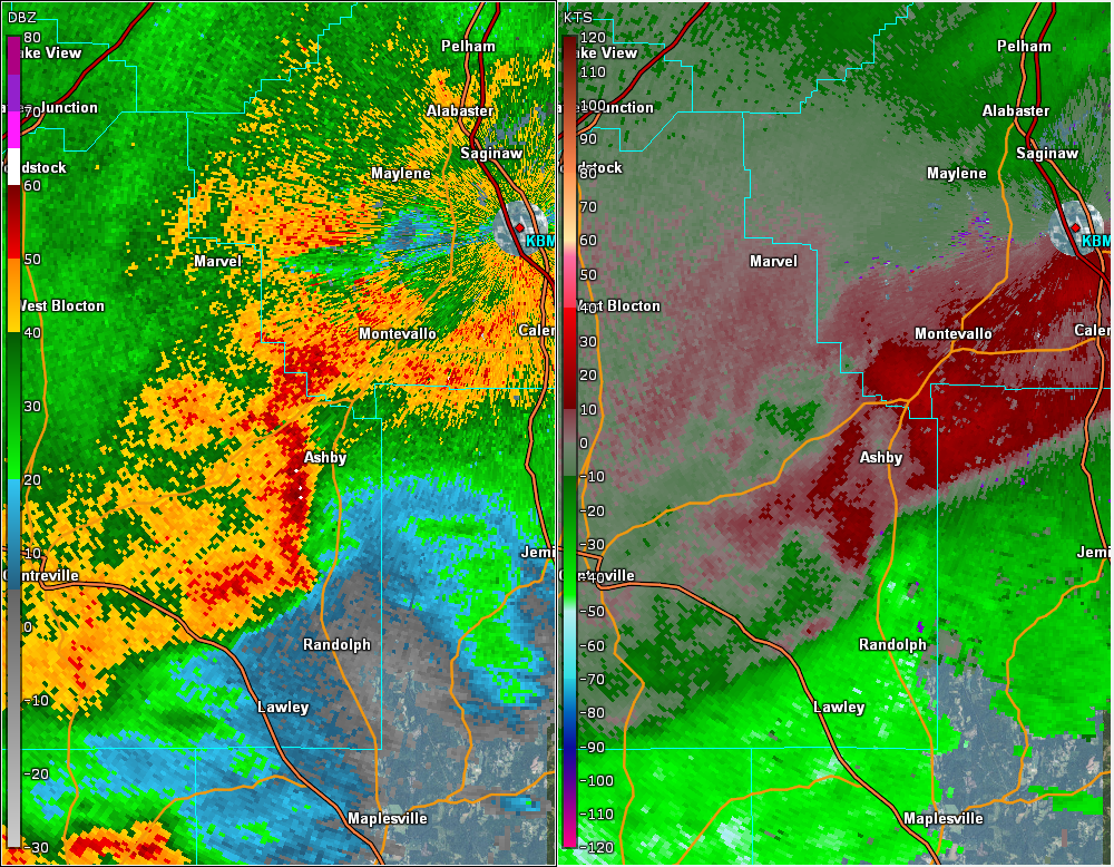
This is an image of the 0.5 degree reflectivity (left) and velocity (right) data from KBMX at 551 am CST as the tornado touched down.