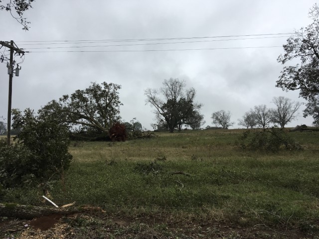
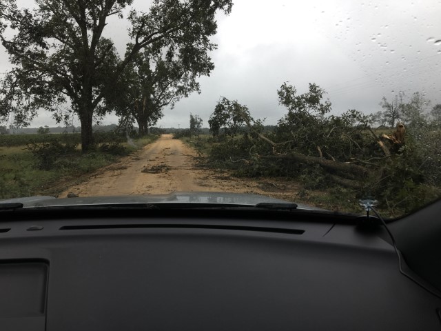
The National Weather Service surveyed damage in far southern Autauga County and determined the damage was caused by a tornado. The tornado began just north of the Alabama River in private farmland and moved northwest across County Road 19 where it uprooted trees and snapped a few tree trunks. The tornado continued northwest crossing County Road 17 near the intersection of County Road 74 where several trees were uprooted. The tornado then continued northwest where it uprooted trees along a portion of Dutch Bend Road and snapped some tree trunks along County Road 33. The tornado moved further northwest where it crossed Alabama Highway 14 where it uprooted trees near the roadway. The tornado was estimated to lift in a forested area to the north of Alabama Highway 14 or west of Autaugaville. The tornado damage path was 3.9 miles long and was 635 yards wide at its widest point.
***Please see Nate main event page story mapand click the tornado tab at the top for the track map.
Radar Data & Damage Pictures
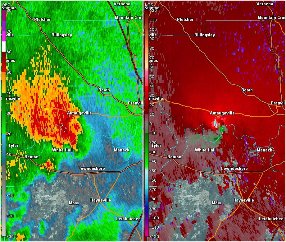
This is an image of the 0.5 degree reflectivity (left) and velocity (right) data from KMXX at 732 pm just after the tornado touched down.