|
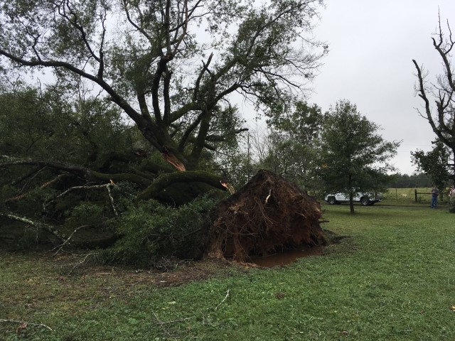
The National Weather Service surveyed damage in far western Chilton County and determined the damage was caused by a tornado. The tornado touched down in a wooded area just west of the intersection of County Road 36 and Alabama Highway 191, where it snapped several branches off of trees. From there, the tornado moved north-northwestward, and continued to cause damage to trees as it crossed County Road 204 and across a yard at the end of County Road 207. The tornado gained some strength as it crossed County Road 42, where it snapped and uprooted numerous trees, including one that fell onto a residence. From there the tornado weakened once again, causing damage to tree limbs and smaller branches as it crossed County Road 124 and County Road 120. It ultimately lifted near the intersection of County Road 119 and County Road 107, with just a few small branches down at that location. The tornado damage path was 6.0 miles long and was 150 yards wide at its widest point.
***Please see Nate main event page story map and click the tornado tab at the top for the track map.
|