
Flash flooding threatens areas from the Tennessee Valley to the Carolinas as storms repeat along a stalled front. Monsoonal storms may trigger flooding in the Southwest. Dangerous heat expands across the Desert Southwest, Plains, mid-Mississippi Valley and Southern Tier. Critical fire weather for interior Pacific Northwest. Cooler, drier air brings brief relief to the Great Lakes and Northeast. Read More >
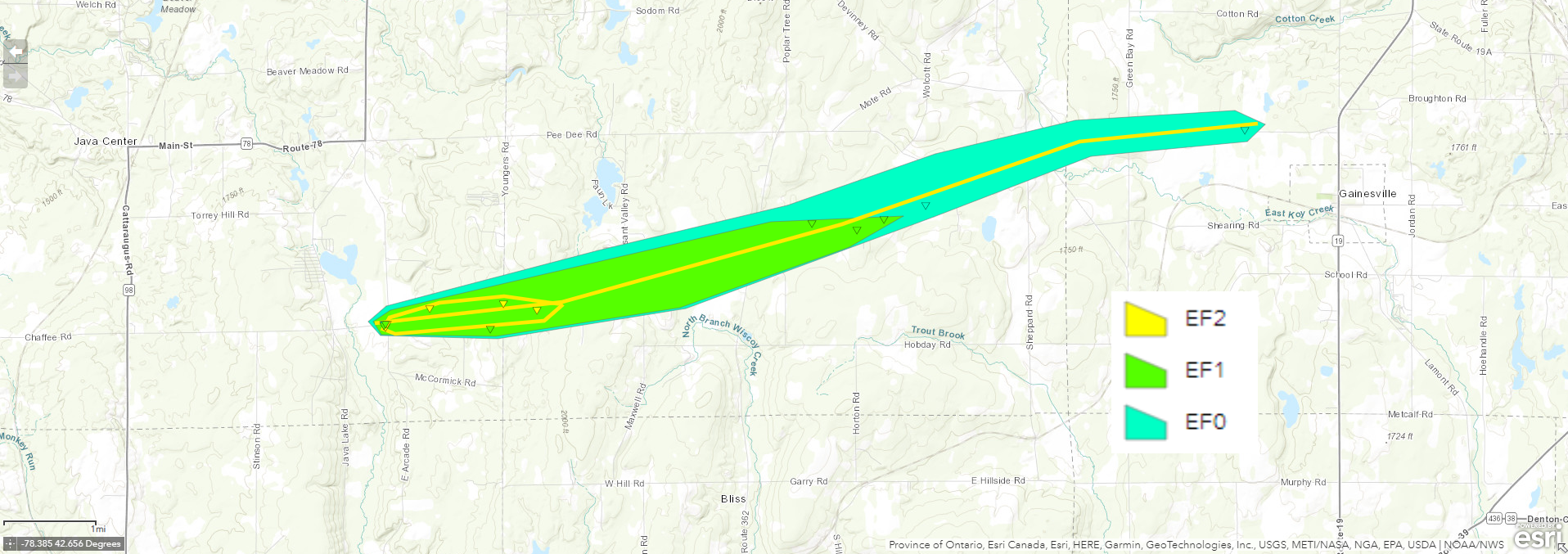
A tornado touched down in Wyoming County at approximately 10:40AM EDT on July 28, 2022. The initial damage and touchdown was in the town of Java just southwest of the intersection of NY Route 78 and Chaffee Rd. The tornado moved along an east-northeast path near NY Route 78 for approximately 10 miles before dissipating in the western portion of the Town of Gainesville just west of NY Route 19 at about 10:55AM EDT. The tornado was on the ground for approximately 15 minutes.
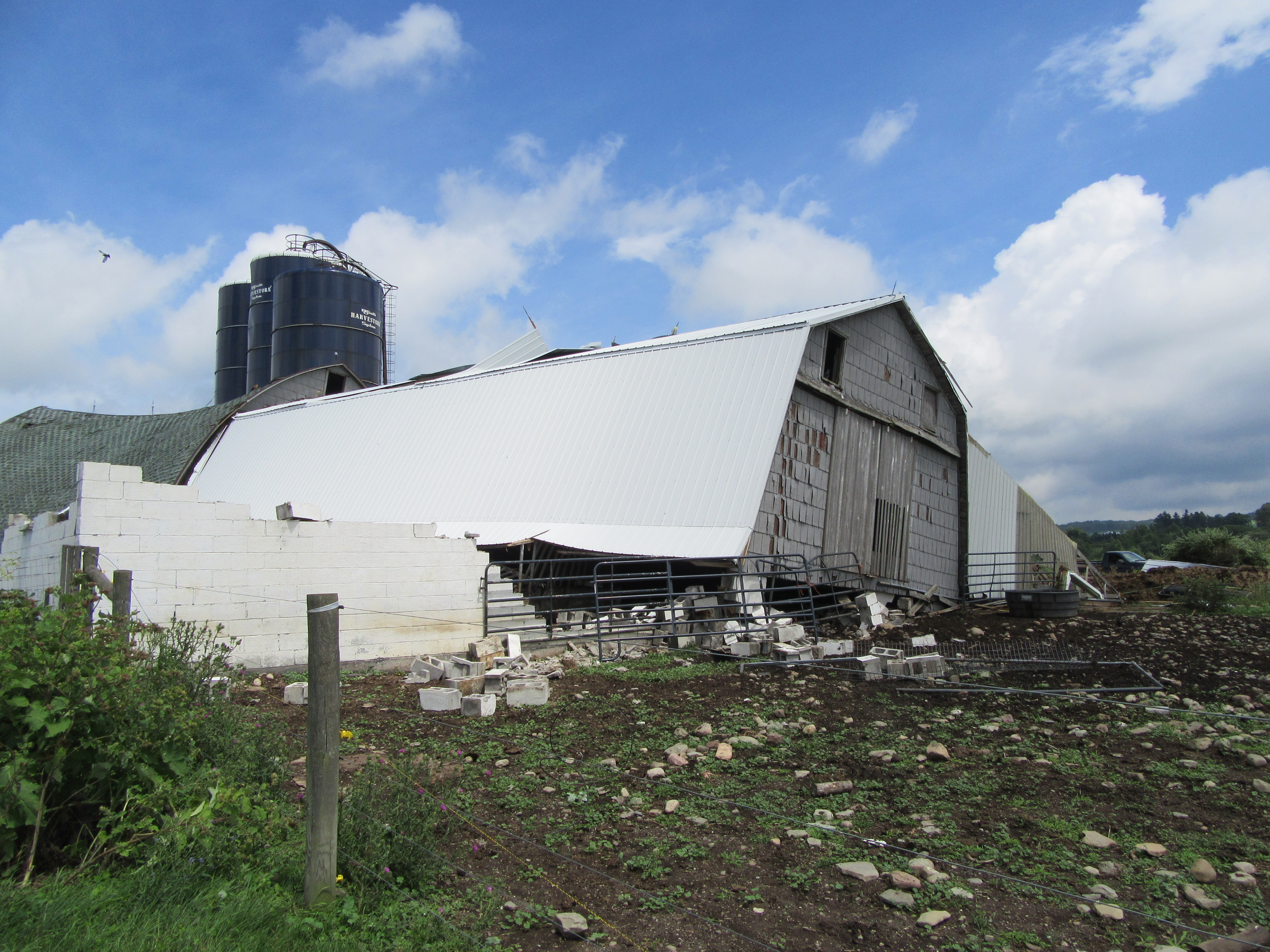
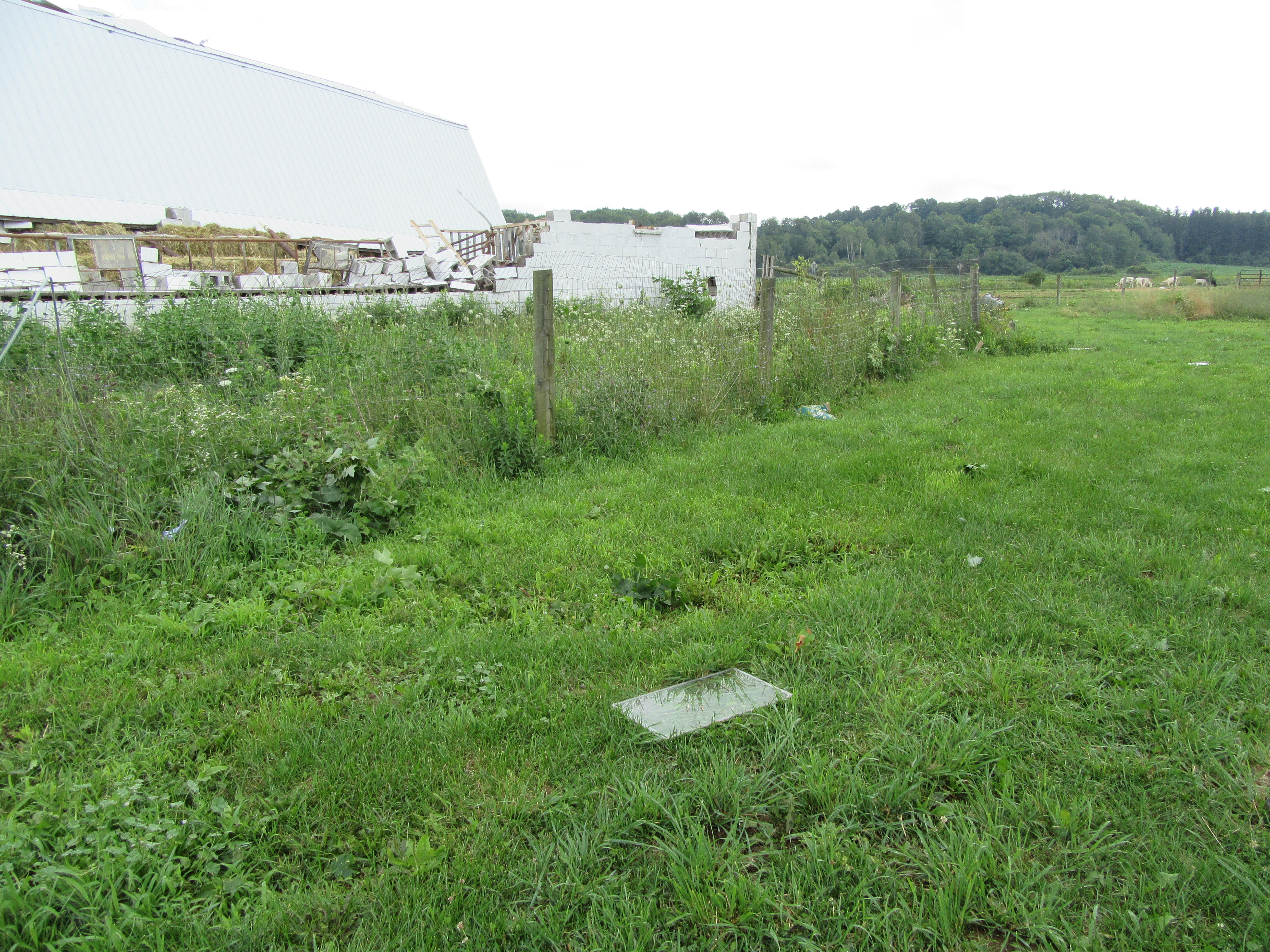
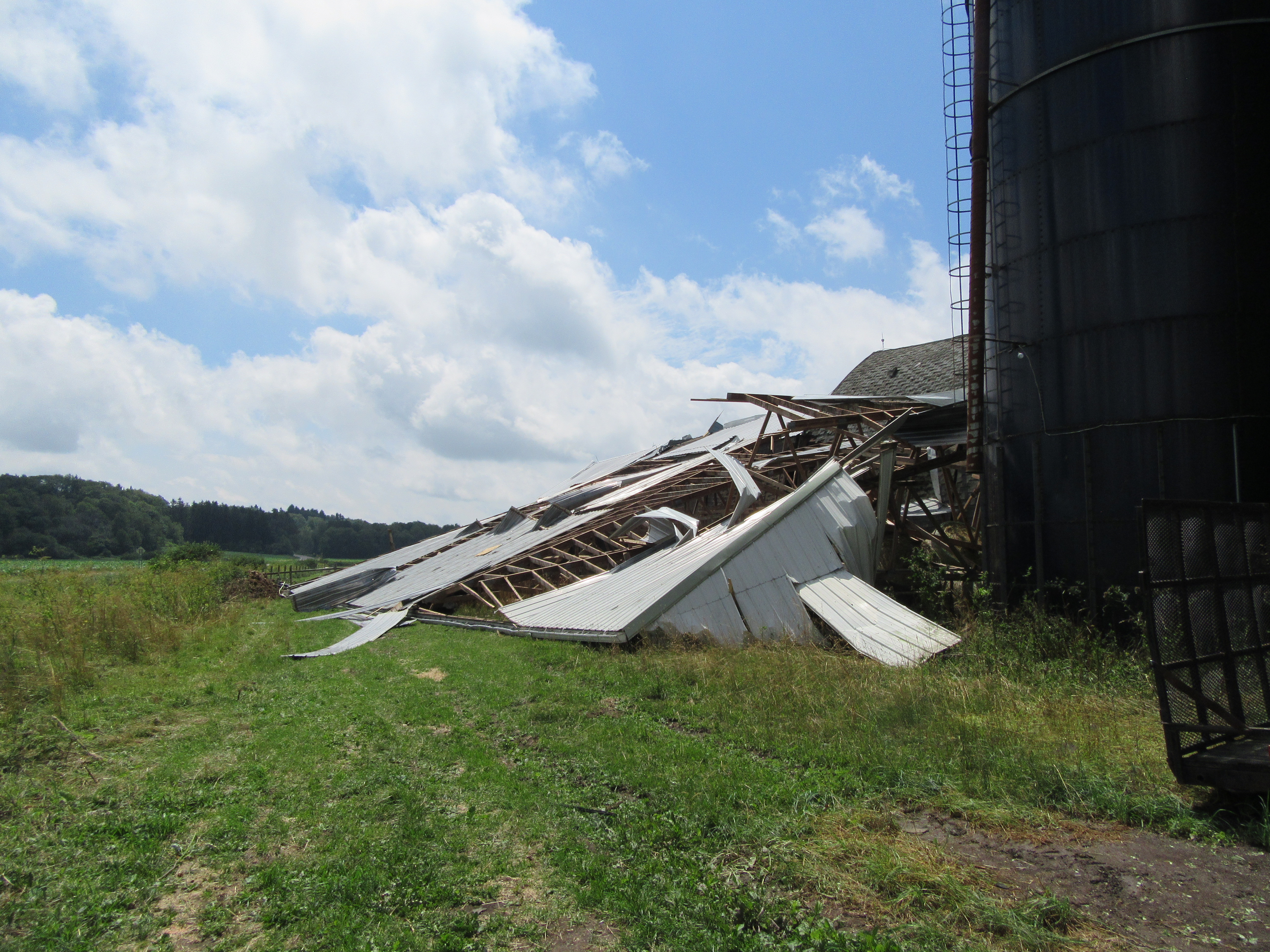
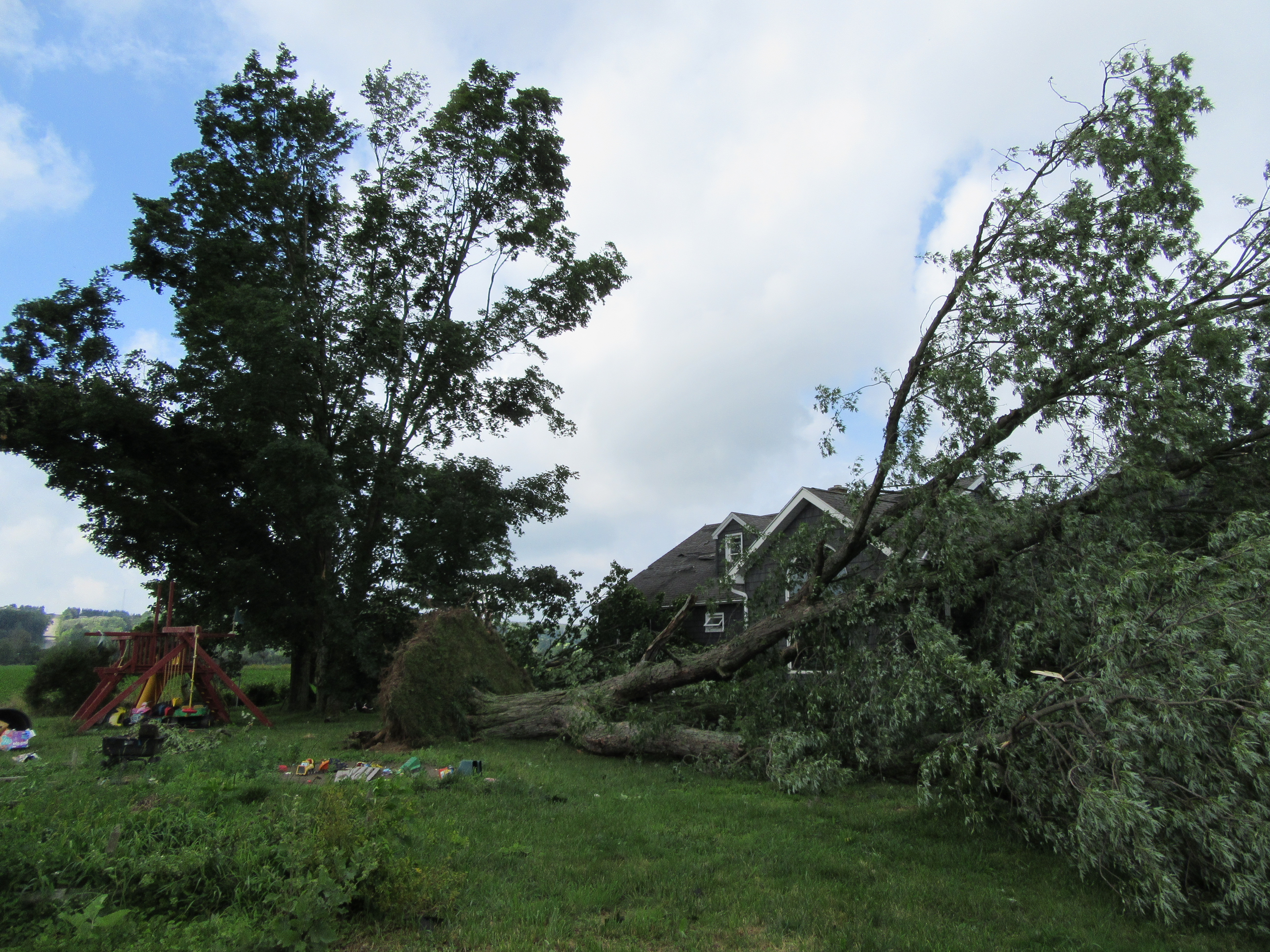
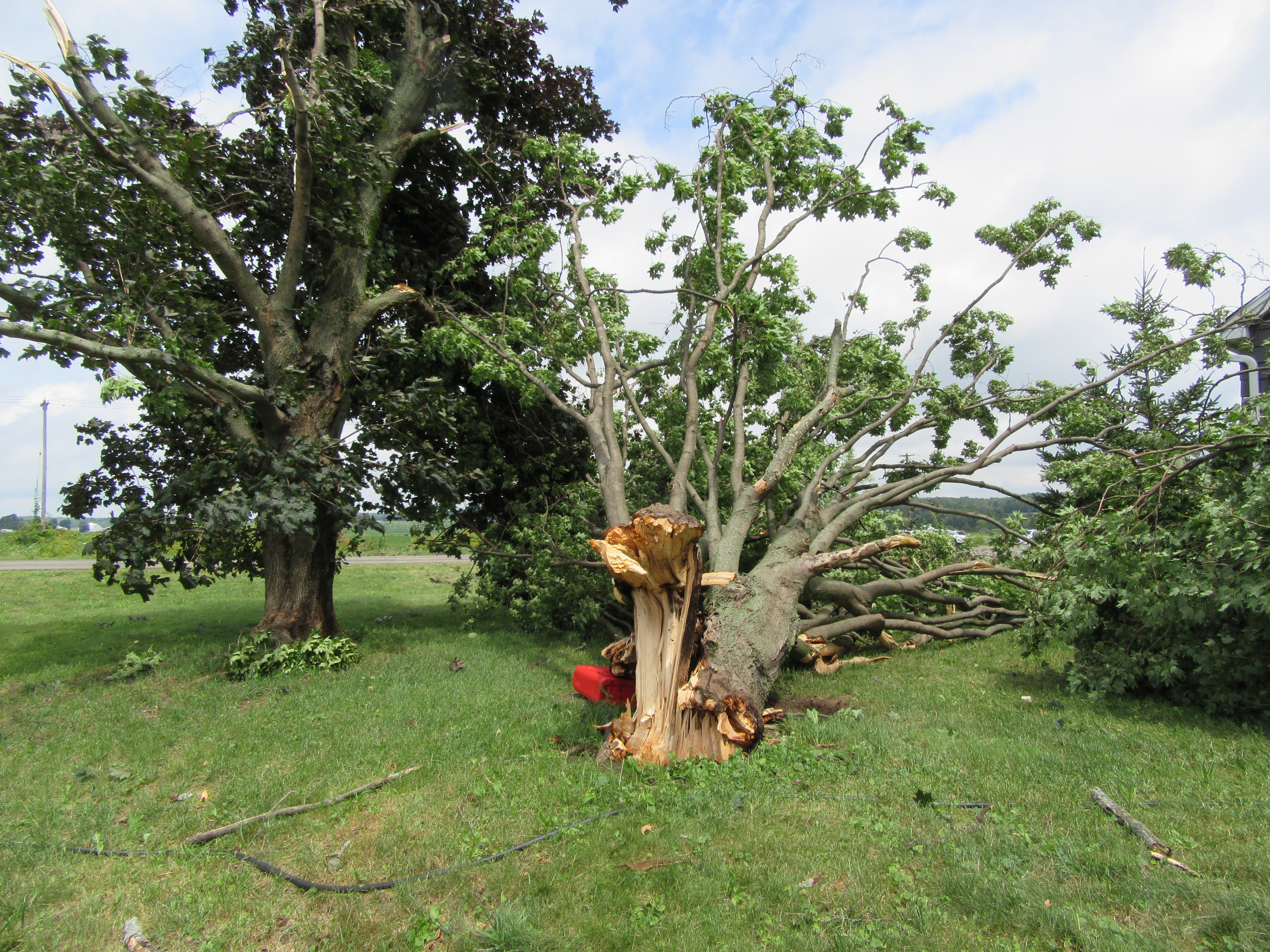
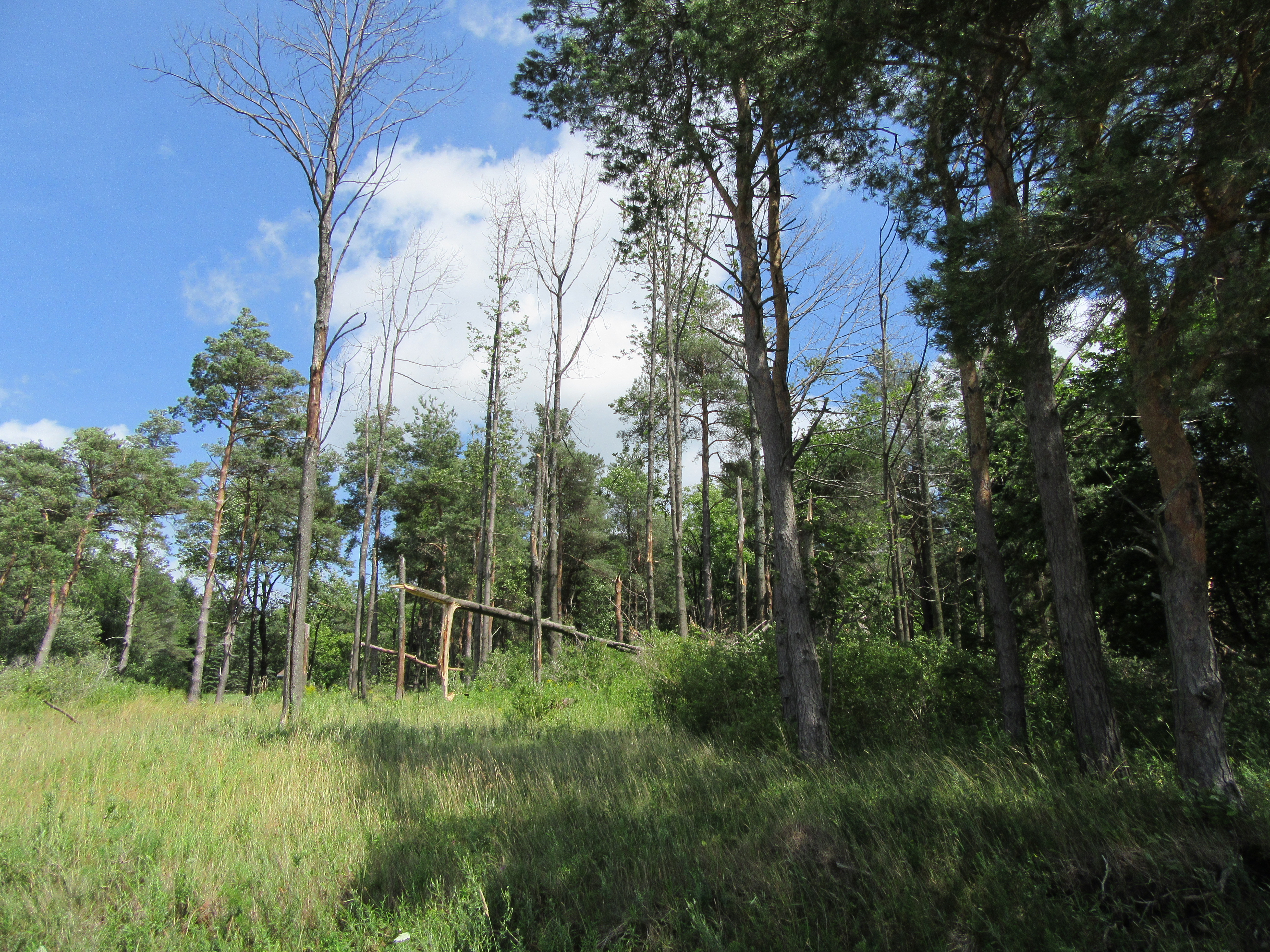
The tornado reached a maximum intensity of EF-2, with winds of 115 mph. The maximum path width was about 500 yards. The majority of the EF-2 rated damage was along the first two miles of the tornado path. This was also the portion of the track with the most consistent and contiguous damage. In this portion of the track, the tornado did significant damage to a barn. The older portion of the barn saw its concrete block foundation topped and the structure itself moved about 25 feet. The newer portion of the barn was entirely destroyed. Multiple hard and softwood trees were uprooted or saw their trunks sheared off as the tornado tracked along NY Route 78 until it got to about Pleasant Valley Rd.
Damage became all EF-1 or lower rated to the east of Pleasant Valley Rd through Hermitage. This included a few uprooted softwood trees and some minor wall damage to a structure on Shaw Rd.
As the tornado crossed from the Town of Wethersfield and into the western portion of the Town of Gainesville, damage became much less continuous and likely indicative of a discontinuous path of the tornado. All damage on this eastern extent of the path was minor tree damage and rated EF-0 before damage ceased about one mile west of NY Route 19.
The National Weather Service would like to extend our thanks to the Wyoming County Office of Emergency Services, Wyoming County Sheriff's Office, and the New York State Police for their assistance on the storm survey.
Maximum Intensity: EF-2
Estimated Peak Wind: 115 MPH
Path Length: 10 Miles
Maximum Path Width: 500 yards
Start Time: 10:40AM EDT
Start Location: Town of Java just southwest of the intersection of NY Route 78 and Chaffee Rd
Start Lat/Lon: 42.62N 78.33W
End Time: 10:55AM EDT
End Location: Town of Gainesville just west of NY Route 19 along NY Route 78
End Lat/Lon: 42.65 N 78.14W
Link to KMZ File for the tornado path information
Radar Reflectivity Loop Overview (8:20AM EDT to 11:03AM EDT)
Radar Reflectivity and Radar Velocity (10:17AM EDT to 11:03AM EDT)
 |
 |
 |
 |
 |
 |
 |
 |

