Heat expands across the Desert Southwest, Plains, Mississippi Valley and Midwest into Monday. Fire weather concerns continue for portions of the Intermountain West. Active monsoonal moisture fuels thunderstorms over the Southwest with possible flash flooding. Tropical cyclone Fausto in the Pacific, should weaken as it approaches Hawaii; Dangerous surf, swells and rip currents are expected. Read More >
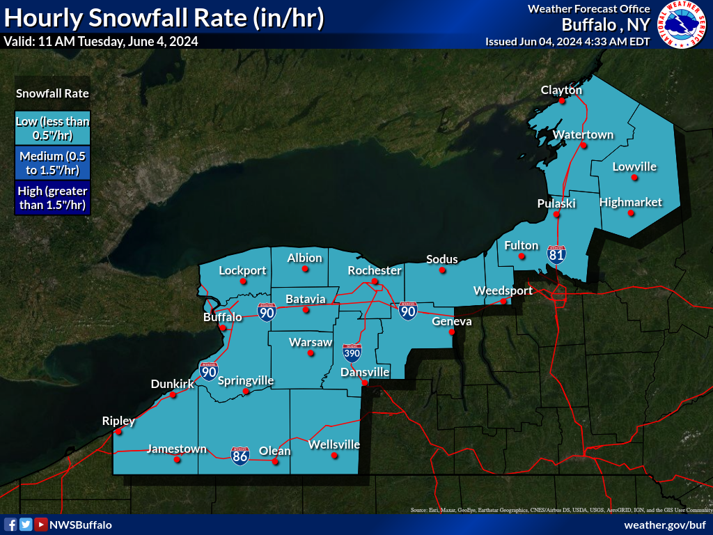
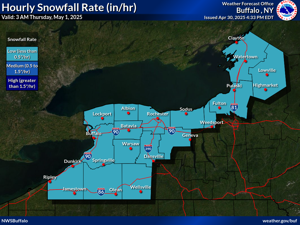
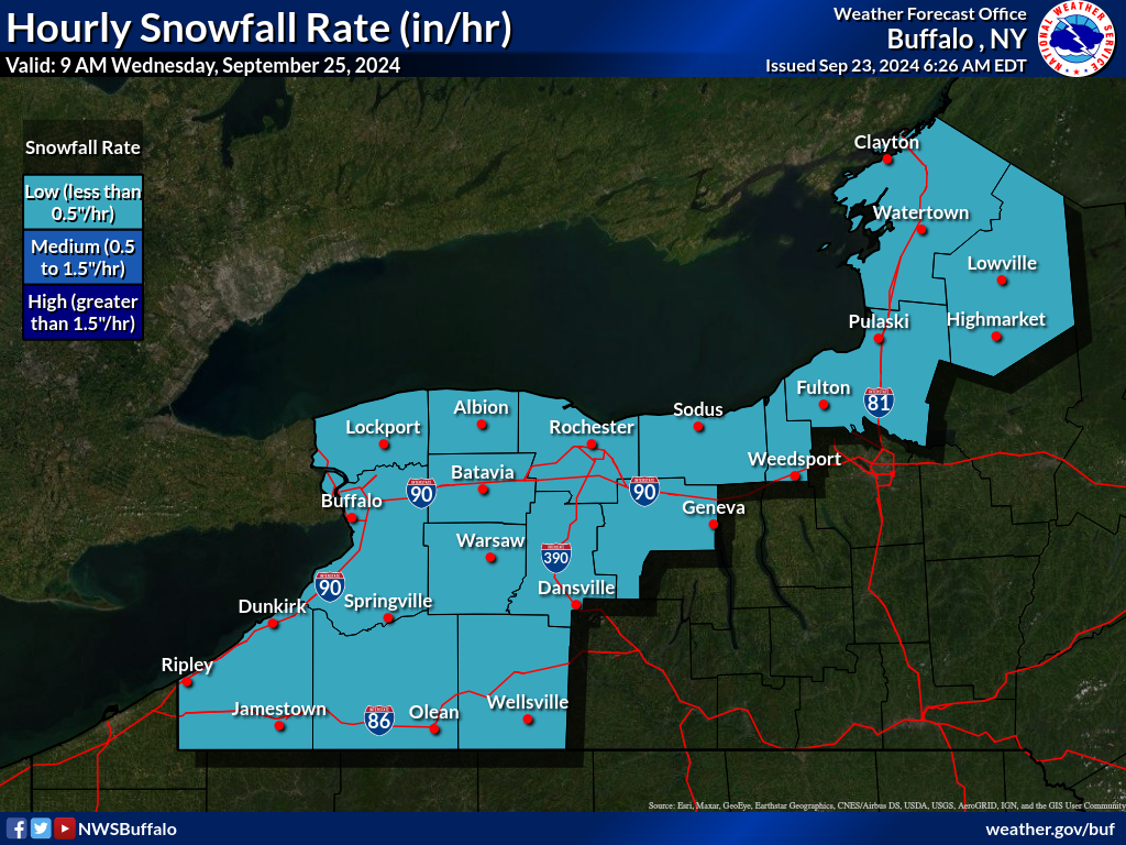
WFO Buffalo Areas of Greatest Snowfall Rate Graphics
Graphical display of hourly snowfall rate threat for next 50 hours.
Low rate is Less than 0.5 inches per hour
Medium rate is 0.5 to 1.5 inches per hour
High rate is Greater than 1.5 inches per hour
For a tiled display of all forecast hours, with clickable images for enlargement, try the Snowfall Rate Tiles page.