|
Dial 511 for road conditions for the state from which you are calling. For road conditions in other states, use the phone numbers or web sites listed below.
|
|
|
Wyoming
Colorado
|
Nebraska
|
For Road Web Cameras Click Here.
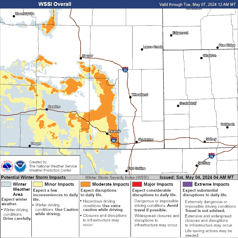
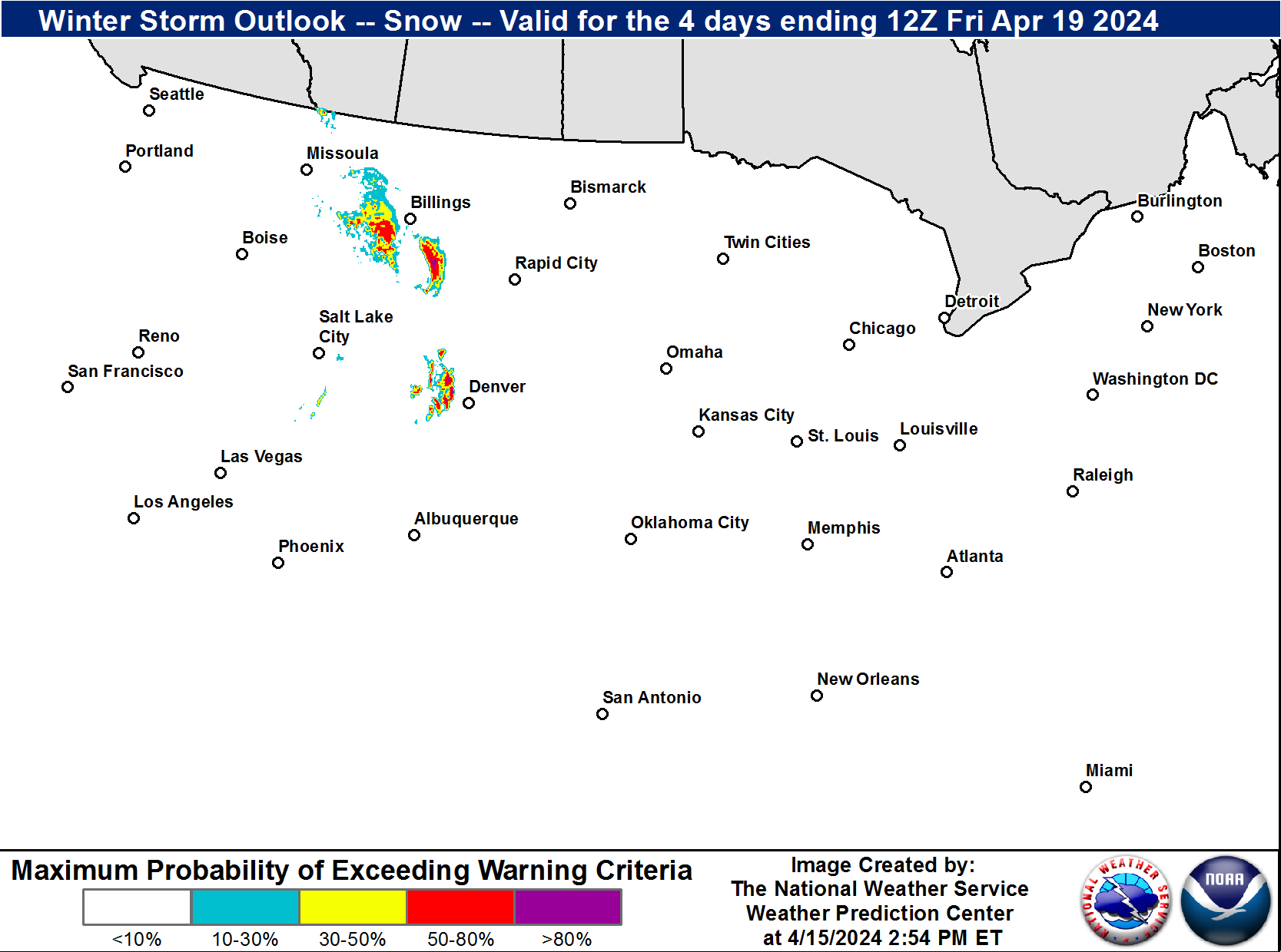
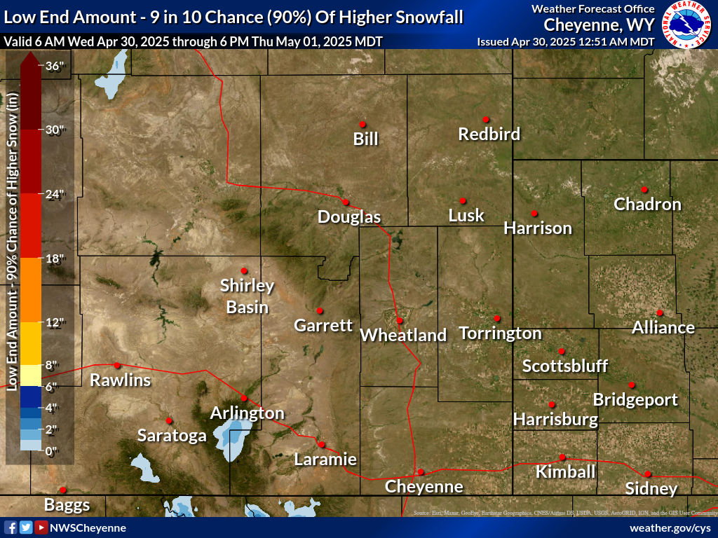
| Winter Storm Severity Index (WSSI) | Winter Storm Outlook (WSO) |
|---|---|
 |
 |
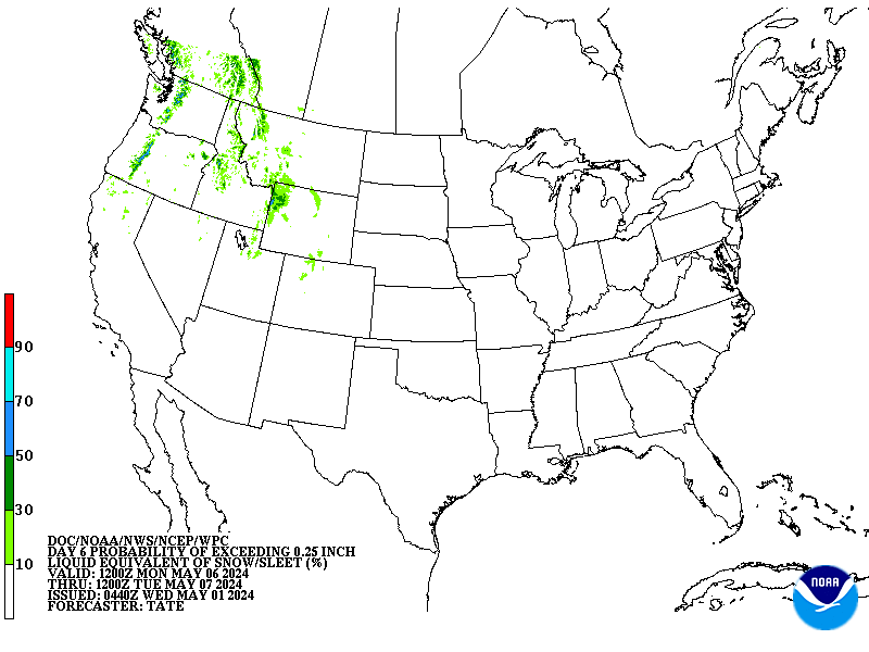
| National Snow Reports | National Snowfall Analysis |
|---|---|
 |
 |
| Days 4-7 Winter Weather Outlook | |
| Day 4 Winter Weather Outlook | Day 5 Winter Weather Outlook |
 |
 |
| Day 6 Winter Weather Outlook | Day 7 Winter Weather Outlook |
 |
 |
|
|
|
| CPC Week-2 Experimental Heavy Snow Risk | |
 |
|
| CPC Temperature & Precipitation Maps | |
|
Days 6-10 |
|
| Temperature | Precipitation |
 |
 |
|
Days 8-14 |
|
| TEMPERATURE | PRECIPITATION |
 |
 |
|
Week 3-4 |
|
|
TEMPERATURE |
PRECIPITATION |
 |
 |
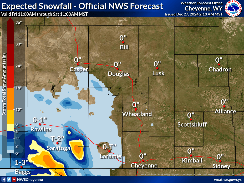
Cheyenne (More Detail) |
Torrington (More Detail) |
Laramie (More Detail) |
Douglas (More Detail) |
Rawlins(More Detail) |
Saratoga (More Detail) |
Rock Springs (More Detail) |
Casper (More Detail) |
Riverton (More Detail) |
Jackson (More Detail) |
Sheridan (More Detail) |
Gillette (More Detail) |
Scottsbluff (More Detail) |
Chadron (More Detail) |
Alliance (More Detail) |
Sidney (More Detail) |
North Platte (More Detail) |
Rushville (More Detail) |


 Weather Story
 Weather Map
 Local Radar