Overview
|
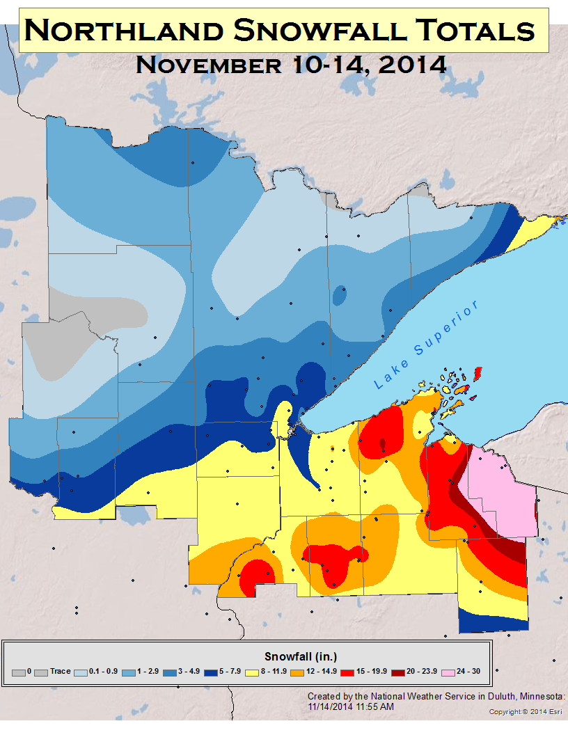
An area of low pressure tracked from central Nebraska to northwest Iowa during the morning hours on the 10th. Ahead of the system's warm front, snow became widespread across southern Minnesota and central and northern Wisconsin. As the day progressed, snow spread into northeast Minnesota. Early on the 11th, the low moved through northern Iowa and southern Wisconsin. Behind the low a trough axis was present extending into North Dakota for most of the day. This allowed for ongoing snowfall throughout the Northland. Due to northerly and northeasterly flow, lake enhancement was present. By the end of the day, snow due to the large scale system came to an end across Minnesota. Winds remained out of the north and northwest from the 12th until early on the 14th. This resulted in a prolonged period of lake effect snow across the South Shore of Lake Superior. |
 |
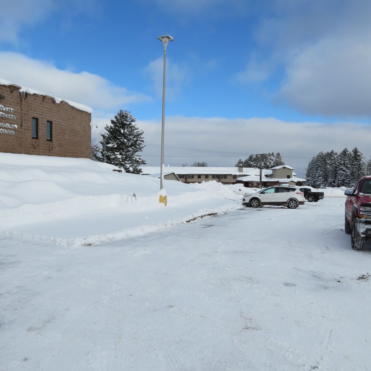
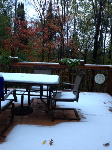
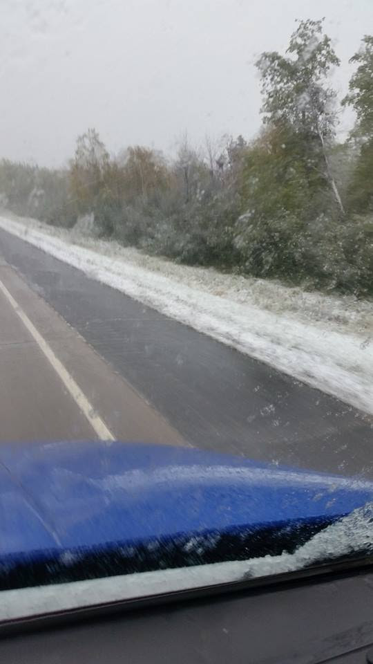
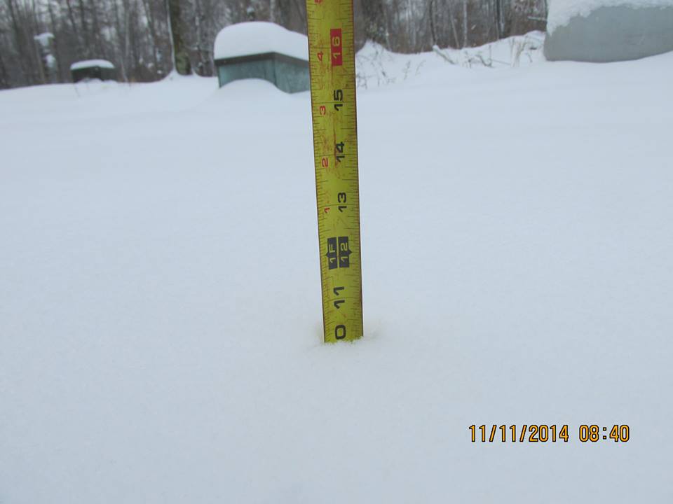
Photos
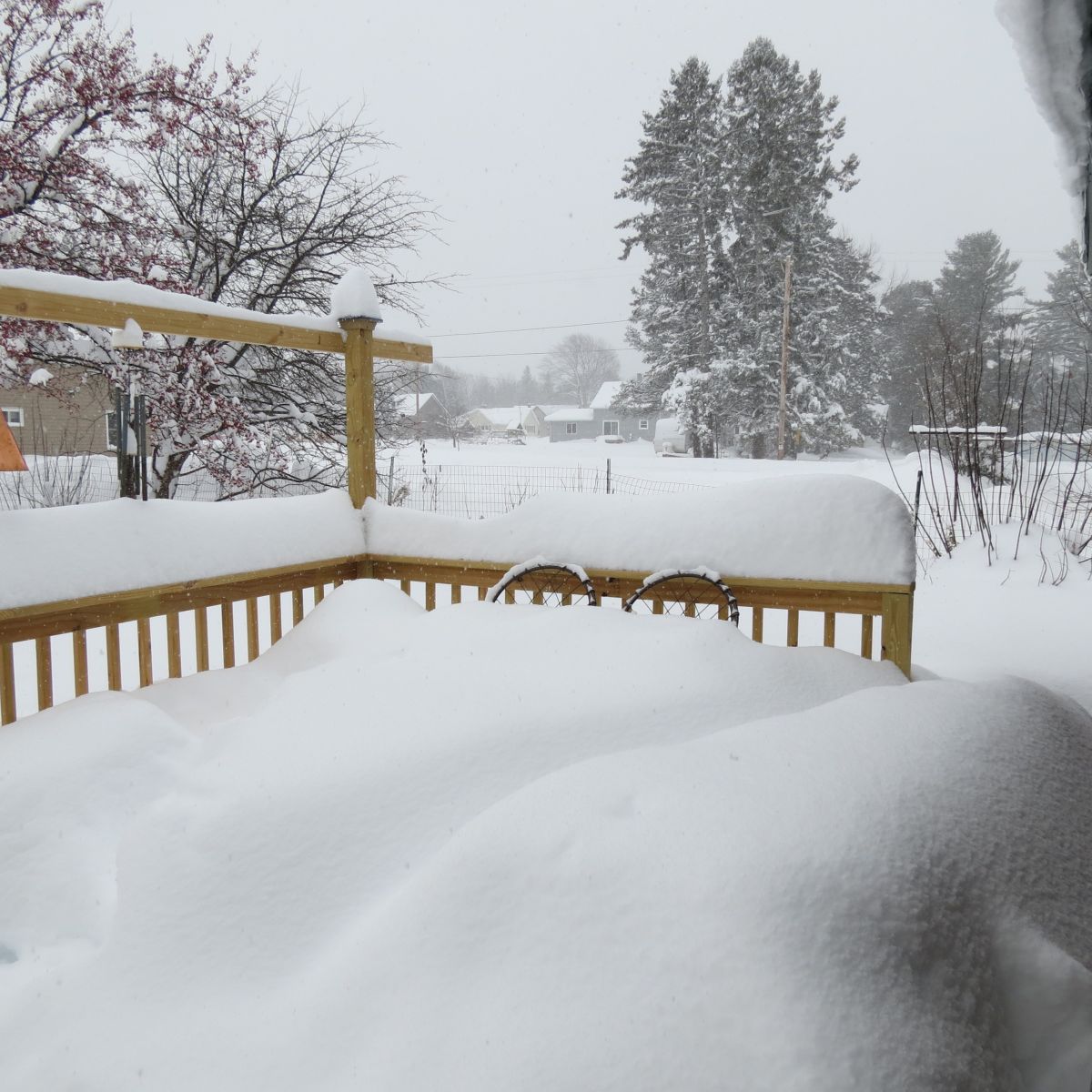
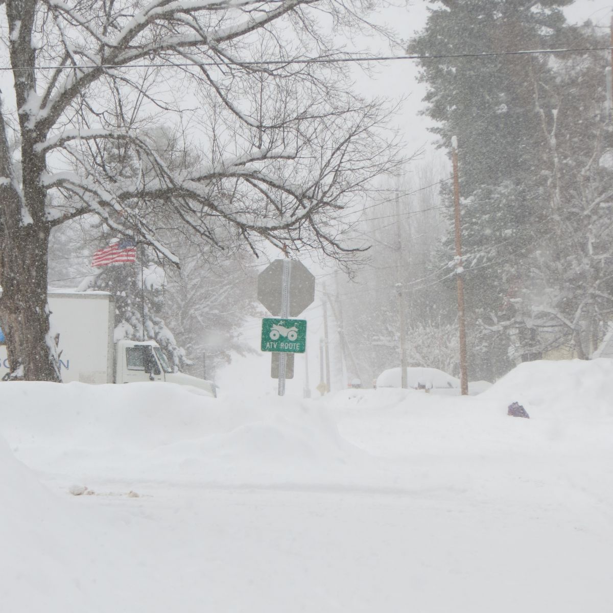
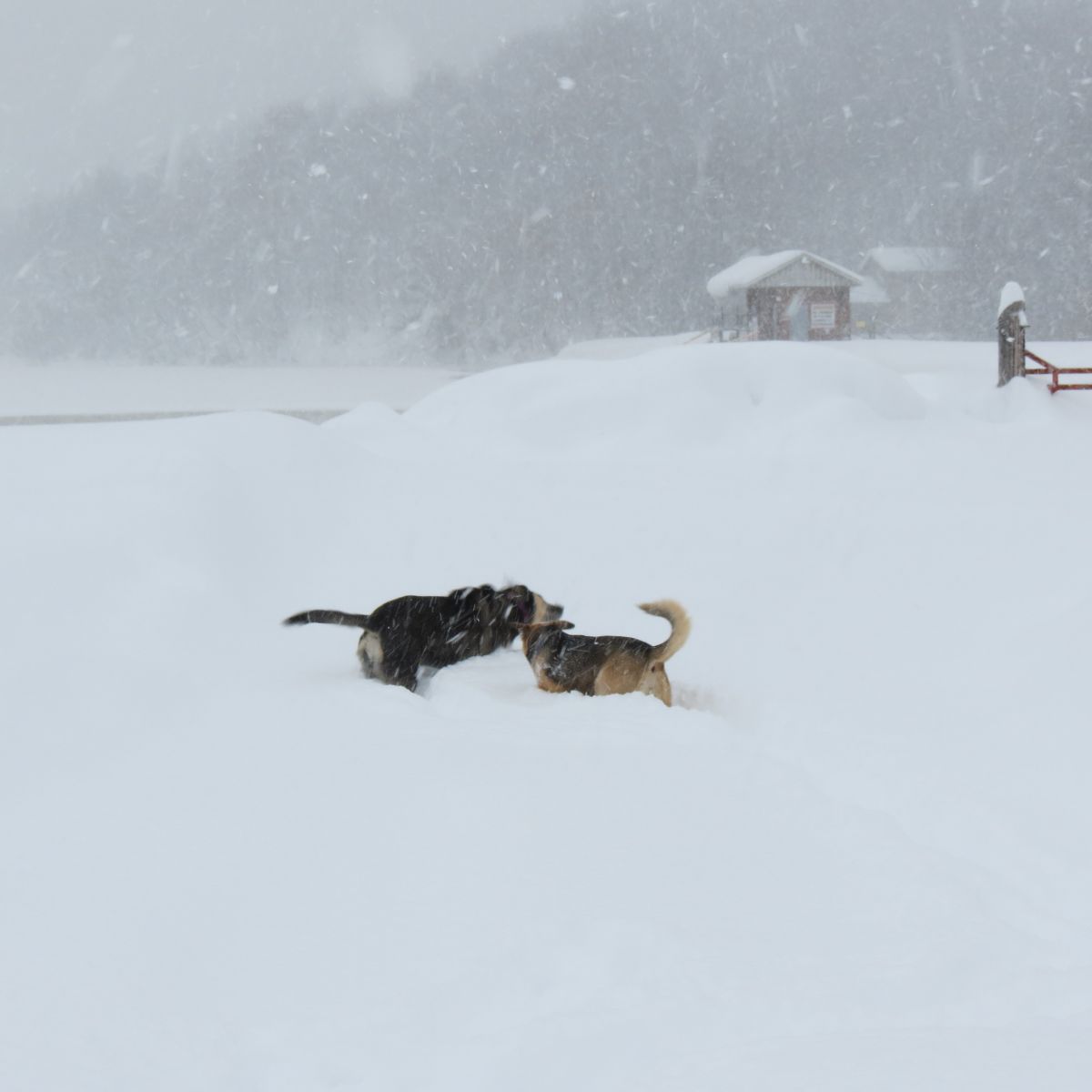
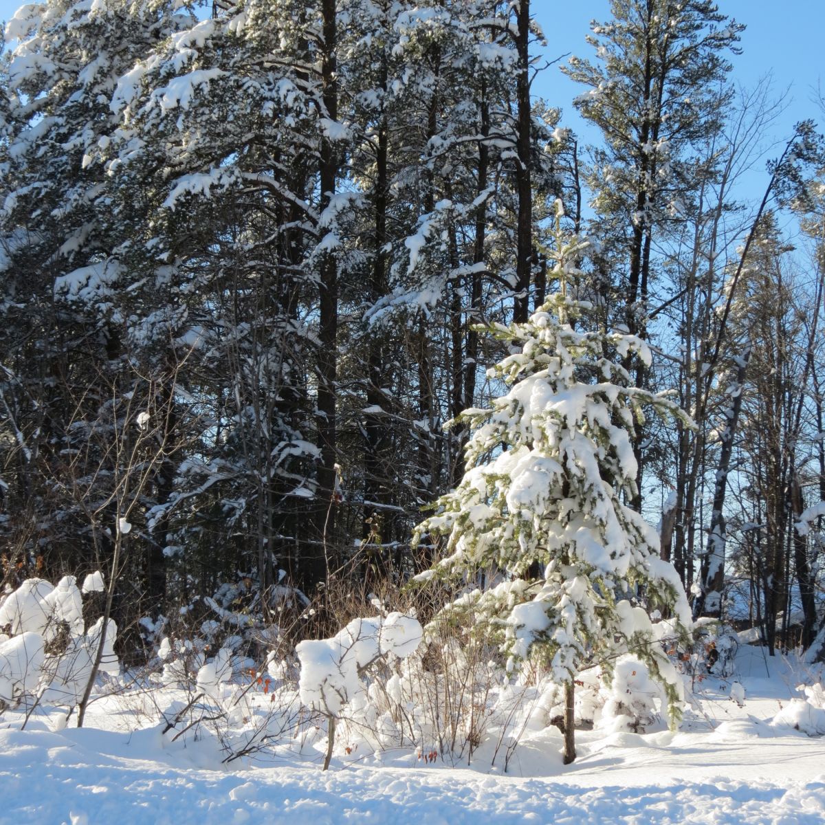
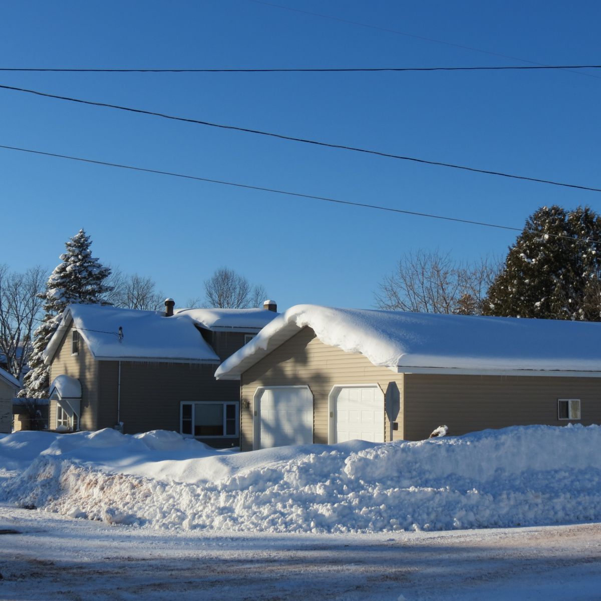
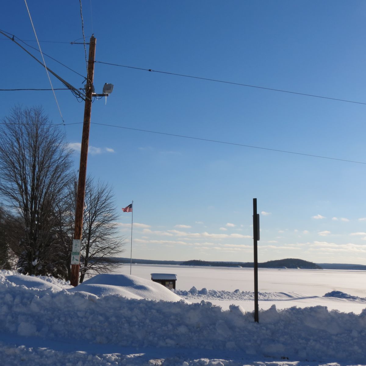
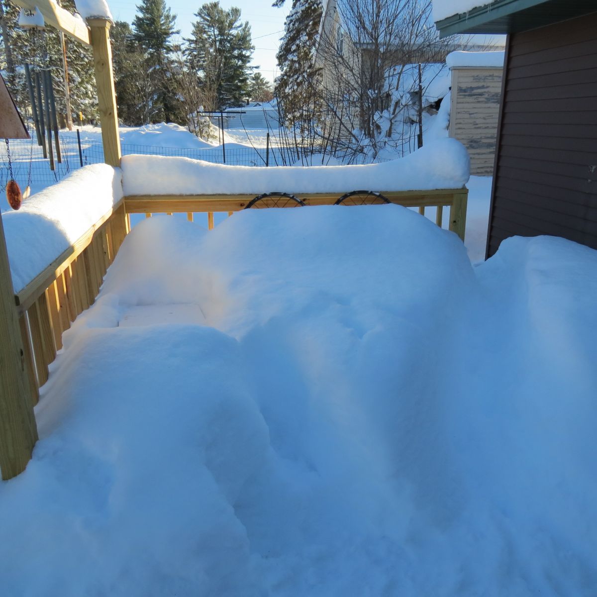
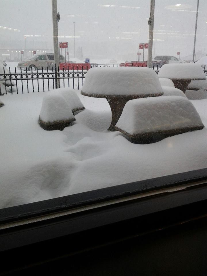
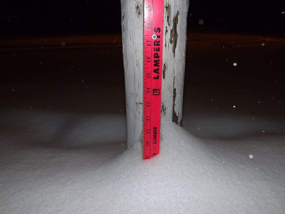
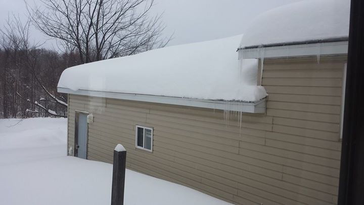
Photos from Gile, Wi
Courtesy Peg Southerland
 |
 |
 |
 |
 |
 |
 |
 |
 |
 |
 |
 |
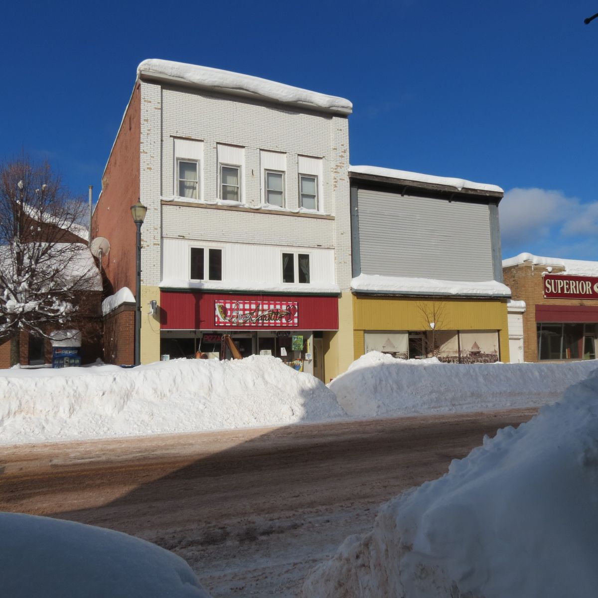
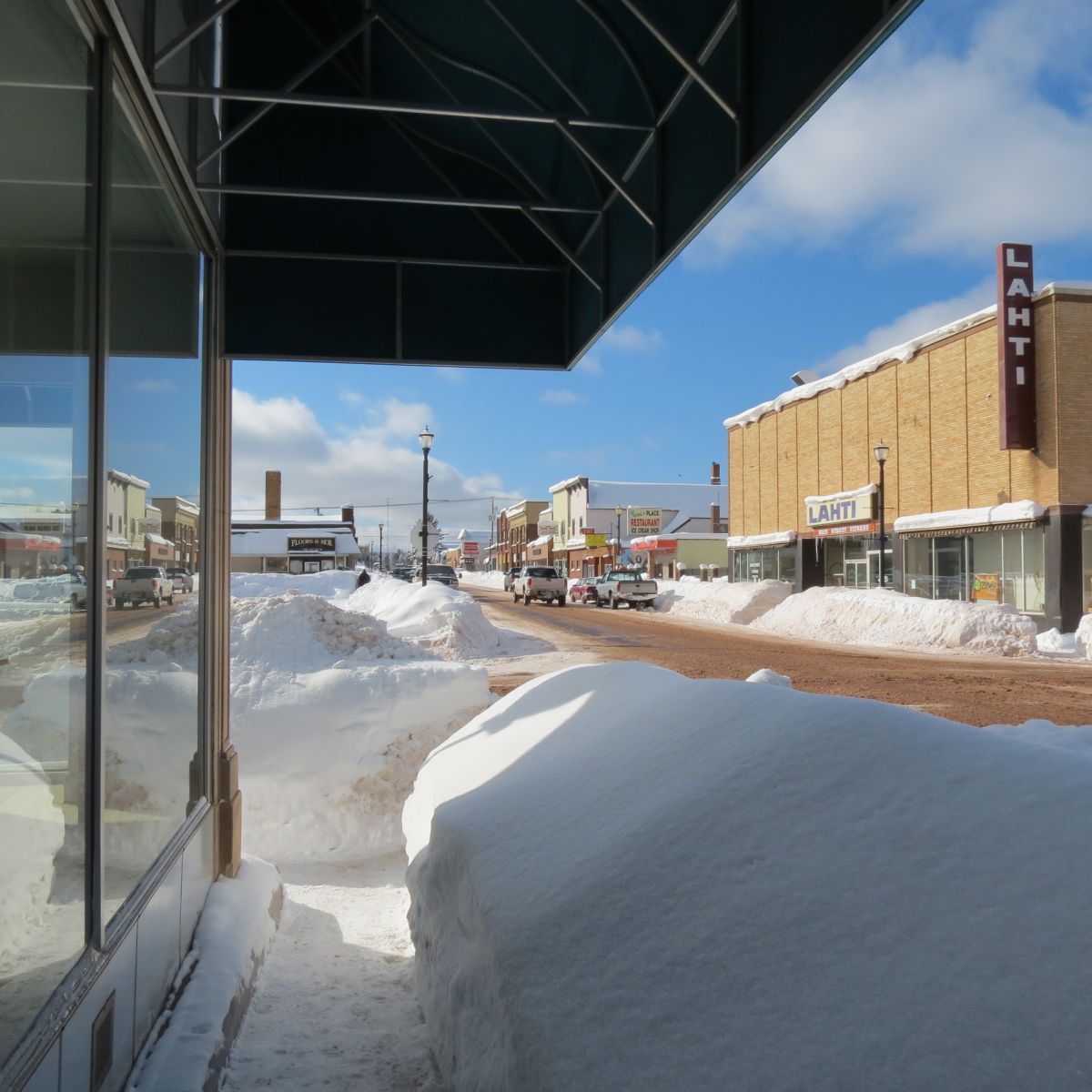
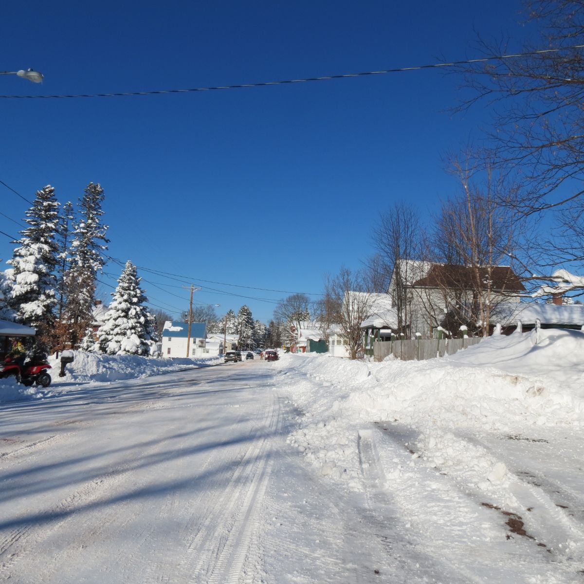
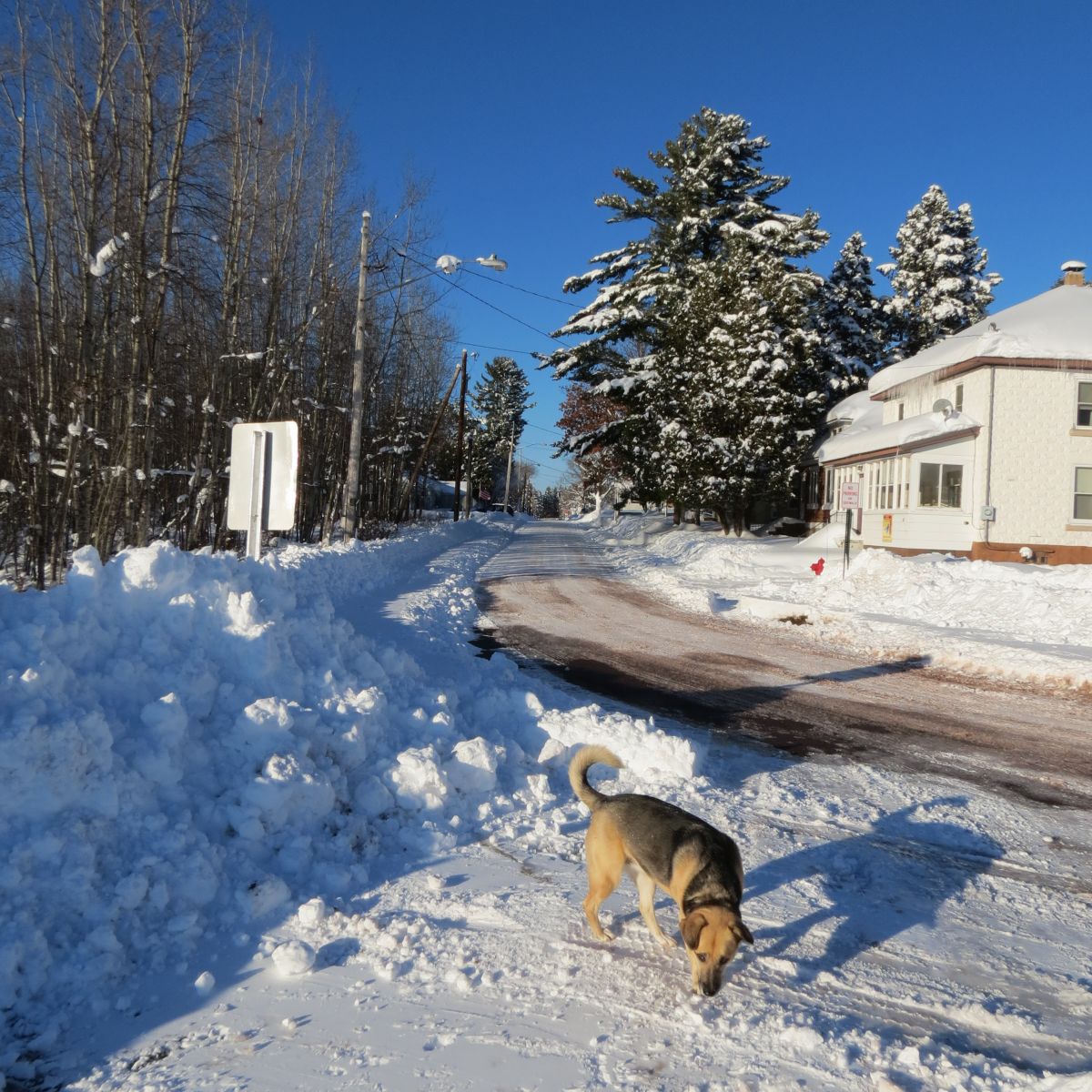
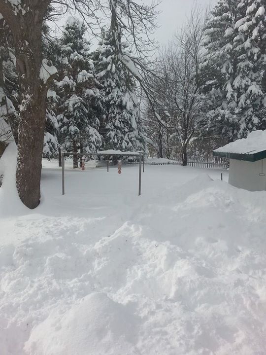
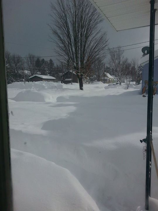
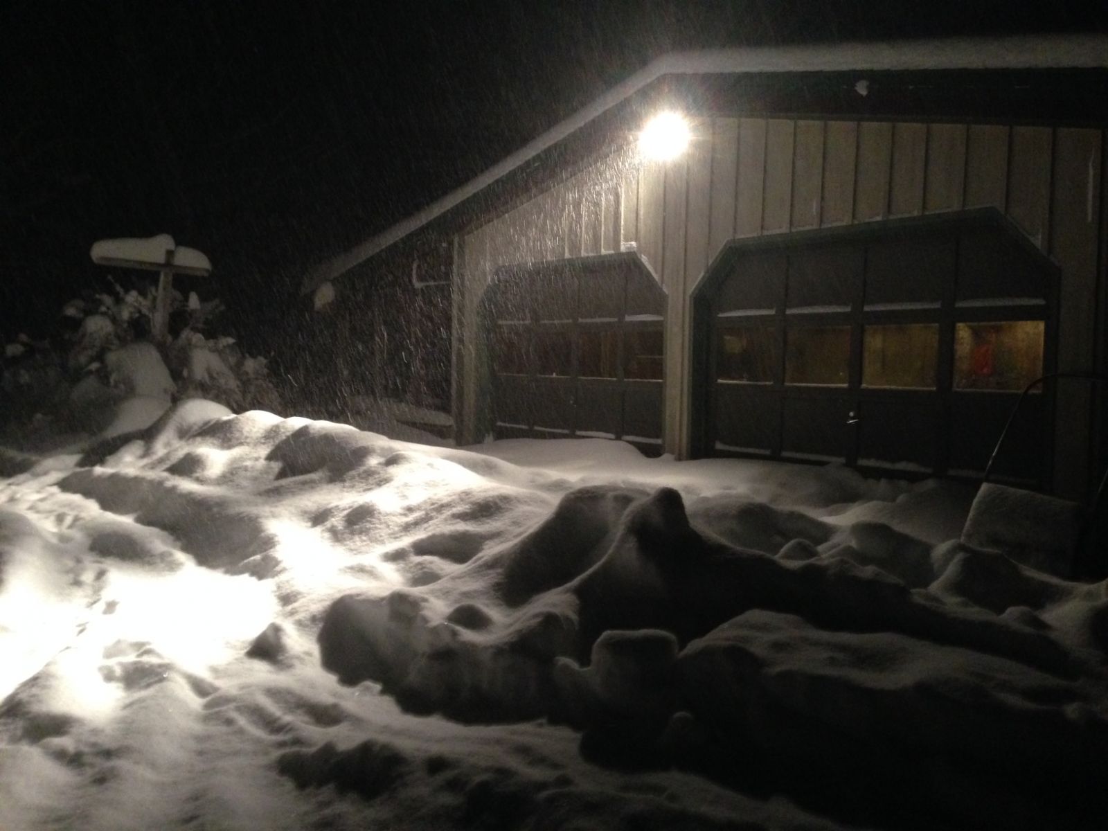
More Photos from the 1st Snowstorm of the Season!
| Hayward, WI (Photographer Unknown) |
Mahtowa, MN (Photographer Unknown) |
McGrath, MN (George Lundquist) |
 |
 |
 |
| Spooner, WI (Christopher Soelle) |
Finlayson Township, MN (Cindy Rapp) |
Hurley, WI (Anna Sanborn & Holly Gentile) |
 |
 |
 |
| Hurley, WI (Anna Sanborn & Holly Gentile) |
Hurley, WI (Anna Sanborn & Holly Gentile) |
Ashland, WI (Eric Neumann) |
 |
 |
 |
Storm Reports
431
NOUS43 KDLH 130452
PNSDLH
MNZ010>012-018>021-025-026-033>038-WIZ001>004-006>009-130845-

PUBLIC INFORMATION STATEMENT
NATIONAL WEATHER SERVICE DULUTH MN
1052 PM CST WED NOV 12 2014

...THE LATEST SNOWFALL TOTALS...

GENERAL WIDESPREAD SNOWFALL AFFECTED MUCH OF NORTHWEST WISCONSIN AND
PARTS OF NORTHEASTERN MINNESOTA MONDAY AND TUESDAY. THIS HAS BEEN
FOLLOWED BY ADDITIONAL LAKE EFFECT SNOW WITHIN THE WISCONSIN SNOW BELT.
THE SNOW TOTALS BELOW ARE NOT NECESSARILY THE FINAL AMOUNT FOR EACH
LOCATION AS LAKE EFFECT SNOW CONTINUES ALONG THE SOUTH SHORE OF LAKE
SUPERIOR.

SNOW REPORTS LISTED BY AMOUNT

WISCONSIN AS OF 11/12/14:

 INCHES  LOCATION                 ST  COUNTY           TIME
 ------  -----------------------  --  --------------   -------
 32.80   GILE                     WI  IRON             1026 PM
                 2.0 INCHES SINCE 446 PM.
 27.60   1 WSW SAXON              WI  IRON             0700 AM
                 STORM TOTAL OF 27.6 INCHES OF SNOW SINCE
                 MONDAY. OVER PAST 24 HOURS 12.4 INCHES OF
                 SNOW ACCUMULATION.
 22.50   2 NW MELLEN              WI  ASHLAND          0835 PM
 20.00   HURLEY                   WI  IRON             0208 PM
                 STORM TOTAL SNOW ACCUMULATION. OVERNIGHT
                 RECEIVED 5.0 INCHES OF SNOW. HEAVY SNOW
                 REPORTED BY OBSERVER AT THE TIME OF THE CALL.
 18.00   IRON RIVER               WI  BAYFIELD         0845 AM
                 RELAYED VIA SOCIAL MEDIA. STORM TOTAL SNOW
                 ACCUMULATION SINCE MONDAY. LIGHT SNOW STILL
                 BEING OBSERVED AT THE TIME OF THE REPORT.
 18.00   3 N BUTTERNUT            WI  ASHLAND          0600 AM
                 STORM TOTAL SNOW ACCUMULATION. 2 INCHES OF
                 SNOW OBSERVED OVER THE PAST 24 HOURS.
 18.00   4 NW MELLEN              WI  ASHLAND          1223 PM
                 AT HIGHLAND HILLS SPORTS COMPLEX.
 17.00   ASHLAND                  WI  ASHLAND          0544 PM
                 2.1 INCHES OF SNOW SINCE 7 AM.
 16.00   SARONA                   WI  WASHBURN         0800 AM
                 TOTAL SNOW ACCUMULATION SINCE MONDAY. OVER
                 THE PAST 24 HOURS 0.5 INCHES OF SNOW
                 OBSERVED.
 16.00   4 E IRON RIVER           WI  BAYFIELD         0545 AM
                 ONE INCH FELL OVERNIGHT.
 16.00   CLAM LAKE                WI  ASHLAND          0630 AM
 15.80   OULU                     WI  BAYFIELD         0600 AM
                 STORM TOTAL SNOW ACCUMULATION. SINCE 10 AM ON
                 TUESDAY 5.5 INCHES OF SNOW HAS ACCUMULATED.
 15.50   4 W CLAM LAKE            WI  BURNETT          0700 AM
                 STORM TOTAL SNOW ACCUMULATION. OVER THE PAST
                 24 HOURS 3.5 INCHES OF SNOW OBSERVED.
 15.50   18 SW MELLEN             WI  ASHLAND          0700 AM
                 STORM TOTAL SNOW ACCUMULATION. OVER THE PAST
                 24 HOURS 3.5 INCHES OF SNOW HAS BEEN
                 OBSERVED.
 15.00   2 NW STONE LAKE          WI  WASHBURN         0700 AM
                 STORM TOTAL ACCUMULATION. OVER THE PAST 24
                 HOURS 1 INCH OF SNOW HAS FALLEN.
 14.90   WNW ASHLAND              WI  ASHLAND          0700 AM
                 STORM TOTAL SNOW ACCUMULATION. OVER THE PAST
                 24 HOURS 3.1 INCHES OF SNOW HAS ACCUMULATED.
 14.90   5 SW BUTTERNUT           WI  PRICE            0630 AM
                 STORM TOTAL SNOW ACCUMULATION. OVER THE PAST
                 24 HOURS 2.4 INCHES OF SNOW HAS ACCUMULATED.
 14.80   SSW GRANTSBURG           WI  BURNETT          0700 AM
                 STORM TOTAL SNOW ACCUMULATION. OVER THE PAST
                 24 HOURS 0.3 INCHES OF SNOW HAS ACCUMULATED.
 14.00   CORNUCOPIA               WI  BAYFIELD         0350 PM
 14.00   SPOONER                  WI  WASHBURN         0446 PM
 13.70   2 W SEELEY               WI  SAWYER           0600 AM
                 STORM TOTAL OF 13.7 INCHES SINCE MONDAY. OVER
                 THE PAST 24 HOURS OBSERVED 1.7 INCHES OF SNOW
                 ACCUMULATION.
 13.50   1 SW BAYFIELD            WI  BAYFIELD         0800 AM
                 STORM TOTAL SNOW ACCUMULATION. OVER THE PAST
                 24 HOURS 2.3 INCHES OF SNOW ACCUMULATED.
 13.10   2 W HAYWARD              WI  SAWYER           0431 PM
                 LIGHT SNOW AT THE TIME OF THE REPORT.
 13.00   SPRINGBROOK              WI  WASHBURN         0415 PM
 12.50   7 SE IRON RIVER          WI  BAYFIELD         0700 AM
                 STORM TOTAL SNOW ACCUMULATION. OVER THE PAST
                 24 HOURS 3.0 INCHES OF SNOW ACCUMULATED.
 12.00   3 W PHILLIPS             WI  PRICE            1100 AM
                 EVENT TOTAL. 3.5 INCHES SINCE 2 PM YESTERDAY.
 12.00   POPLAR                   WI  DOUGLAS          0445 AM
 12.00   FOXBORO                  WI  DOUGLAS          0625 PM
 12.00   5 NW NEW POST            WI  SAWYER           0335 PM
                 BETWEEN 1 PM AND 230 PM, 2.5 INCHES FELL.
 11.80   ASHLAND                  WI  ASHLAND          0651 AM
                 5.7 INCHES SINCE 5 PM.
 11.70   9 NNE HAYWARD            WI  SAWYER           0600 AM
                 STORM TOTAL SNOW ACCUMULATION. OVER THE PAST
                 24 HOURS 1.7 INCHES OF SNOW ACCUMULATED.
 11.50   OAKLAND                  WI  BURNETT          1200 PM
 11.40   8 N BAYFIELD             WI  BAYFIELD         0600 AM
                 STORM TOTAL SNOW ACCUMULATION. OVER THE PAST
                 24.5 HOURS 1.8 INCHES OF SNOW ACCUMULATED.
 11.40   8 N BAYFIELD             WI  BAYFIELD         0600 AM
                 STORM TOTAL SNOW ACCUMULATION. OVER THE PAST
                 24.5 HOURS 1.8 INCHES OF SNOW ACCUMULATED.
 11.00   MADELINE ISLAND          WI  ASHLAND          0600 AM
                 STORM TOTAL SNOW ACCUMULATION. OVER THE PAST
                 24 HOURS 1.7 INCHES OF SNOW ACCUMULATED.
 11.00   2 S BARNES               WI  BAYFIELD         0600 AM
                 STORM TOTAL SNOW ACCUMULATION.
 11.00   5 SW PHILLIPS            WI  PRICE            1028 PM
 11.00   3 E HAWTHORNE            WI  DOUGLAS          0549 PM
                 LIGHT SNOW AT THE TIME OF THE REPORT.
 11.00   2 SE MAPLE               WI  DOUGLAS          0630 AM
 11.00   HAYWARD                  WI  SAWYER           0438 PM
 11.00   WEBSTER                  WI  BURNETT          0115 PM
                 10 INCHES SINCE 6 AM.
 10.30   1 E ODANAH               WI  ASHLAND          0700 AM
                 STORM TOTAL SNOW ACCUMULATION. OVER THE PAST
                 24 HOURS 2.8 INCHES OF SNOW ACCUMULATED.
 10.20   GORDON                   WI  DOUGLAS          0800 AM
                 STORM TOTAL SNOW ACCUMULATION. OVER THE PAST
                 24 HOURS 0.9 INCHES OF SNOW ACCUMULATED.
 10.00   HERTEL                   WI  BURNETT          1127 AM
 10.00   2 SW WEBB LAKE           WI  BURNETT          0612 AM
 10.00   DRUMMOND                 WI  BAYFIELD         1021 PM
 10.00   7 E PARK FALLS           WI  PRICE            0651 PM
  9.60   7 ESE SUPERIOR           WI  DOUGLAS          0530 AM
                 ONE INCH FELL OVERNIGHT.
  9.50   4 N GRANTSBURG           WI  BURNETT          0104 PM
                 VISIBILITY LESS THAN 1/4 MILE.
  9.10   SOUTH RANGE              WI  DOUGLAS          0915 PM
  9.00   9 S HAYWARD              WI  SAWYER           0903 PM
  8.50   1 S SOLON SPRINGS        WI  DOUGLAS          0100 PM
  8.00   5 WSW SOLON SPRINGS      WI  DOUGLAS          0100 PM
  8.00   UPSON                    WI  IRON             0835 PM
  8.00   LAKE NEBAGAMON           WI  DOUGLAS          0637 PM
  8.00   BUTTERNUT                WI  ASHLAND          0200 PM
  7.80   8 N BAYFIELD             WI  BAYFIELD         0836 PM
  7.00   AMNICON FALLS STATE PAR  WI  DOUGLAS          0417 PM
  6.00   5 SE PHILLIPS            WI  PRICE            0218 PM

  MINNESOTA AS OF 11/11/14:

 INCHES  LOCATION                 ST  COUNTY           TIME
 ------  -----------------------  --  --------------   -------
 11.50   MOOSE LAKE               MN  CARLTON          0410 PM
                 EVENT TOTAL.
 10.90   2 E HOLYOKE              MN  CARLTON          0559 AM
                 1.4 INCHES FELL OVERNIGHT.
  8.20   WEST DULUTH              MN  ST. LOUIS        1226 AM
  8.10   4 S SAWYER               MN  CARLTON          0813 AM
  8.00   ESKO                     MN  CARLTON          0713 AM
  7.90   DULUTH                   MN  ST. LOUIS        1034 PM
  7.30   4 WSW DULUTH             MN  ST. LOUIS        0815 AM
  7.00   2 E ESKO                 MN  CARLTON          0525 AM
  6.50   4 SW DULUTH              MN  ST. LOUIS        0754 AM
  6.00   LESTER PARK DULUTH       MN  ST. LOUIS        1131 AM
                 EVENT TOTAL. 1.7 INCHES OF NEW SNOW
                 OVERNIGHT.
  5.30   2 WNW SHESHEBEE          MN  AITKIN           0630 AM
  5.00   5 N TWO HARBORS          MN  LAKE             0638 AM
                 2 INCHES FELL OVERNIGHT.
  5.00   ALBORN                   MN  ST. LOUIS        0445 AM
                 2.5 INCHES SINCE 430 PM ON 11/10.
  4.70   7 N MCGREGOR             MN  AITKIN           1230 AM
  4.50   4 W TWO HARBORS          MN  LAKE             0900 AM
  4.50   CANYON                   MN  ST. LOUIS        0430 AM
                 1 INCH OVER THE PAST 8 HOURS. IT WAS STILL
                 SNOWING VERY LIGHTLY.
  4.10   SAGINAW                  MN  ST. LOUIS        1040 AM
  3.00   LARSMONT                 MN  LAKE             1030 AM
                 EVENT TOTAL. VERY LIGHT SNOW FALLING.
  2.80   1 W SILVER BAY           MN  LAKE             0702 AM
                 2 3/4 INCHES EVENT TOTAL.
  1.50   HOYT LAKES               MN  ST. LOUIS        1045 AM
  1.00   13 ESE GUNFLINT LAKE     MN  COOK             0910 AM
                 AT GOLDEN EAGLE LODGE.
  1.00   2 W IRON JUNCTION        MN  ST. LOUIS        0820 AM
  0.40   COLERAINE                MN  ITASCA           0930 AM
                 EVENT TOTAL.

$$
Environment
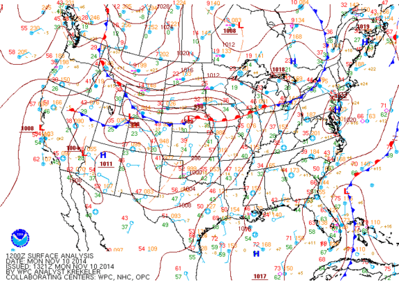 |
| Surface Analysis November 10-14, 2014 |
 |
Media use of NWS Web News Stories is encouraged! Please acknowledge the NWS as the source of any news information accessed from this site. |
|

