
A heat wave over the Southwest will intensify late week, peaking and expanding into the Intermountain West and northern High Plains this weekend. Severe thunderstorms and heavy rain are expected over portions of the Plains and Mississippi Valley tonight, which will shift to parts of the Upper Midwest and mid-Mississippi Valley Friday. Monsoonal showers and flooding persist in the Desert Southwest. Read More >
Duluth, MN
Weather Forecast Office
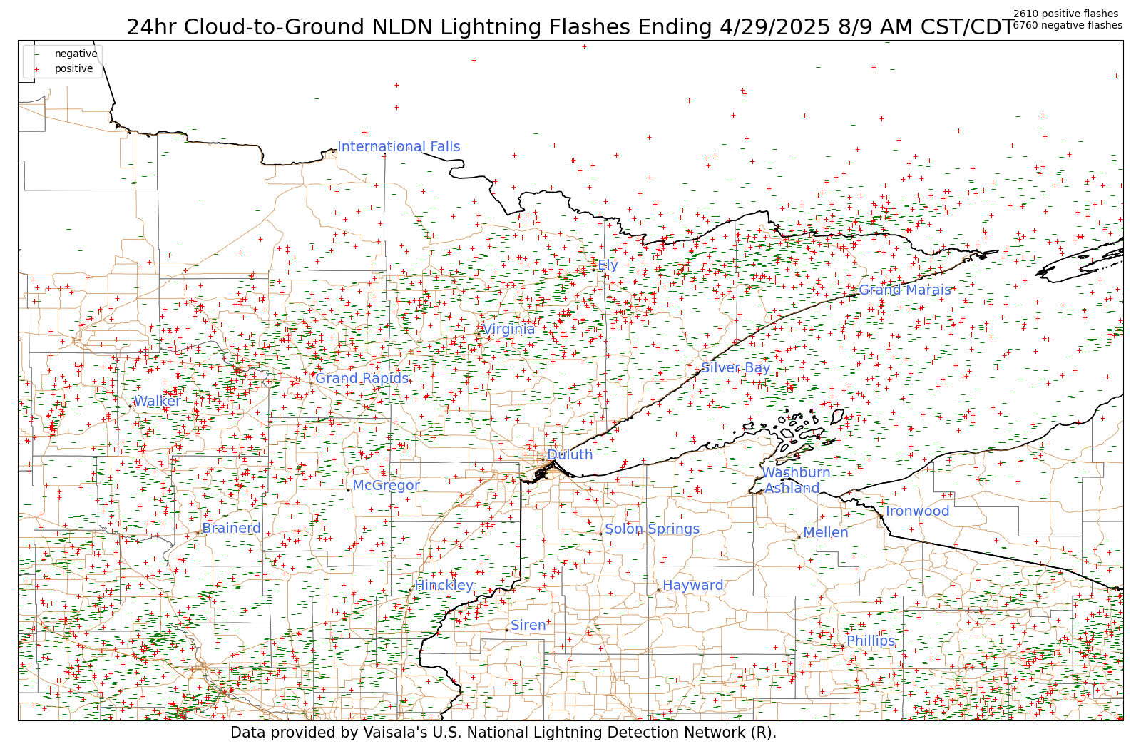
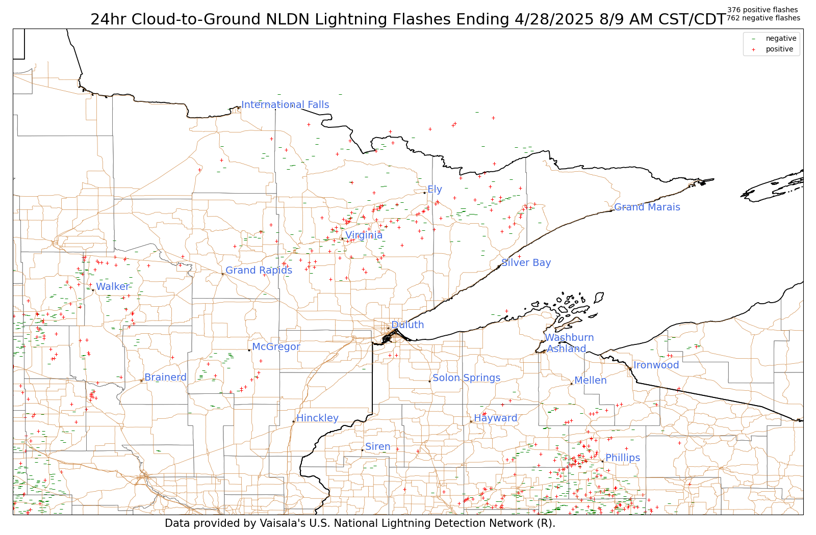
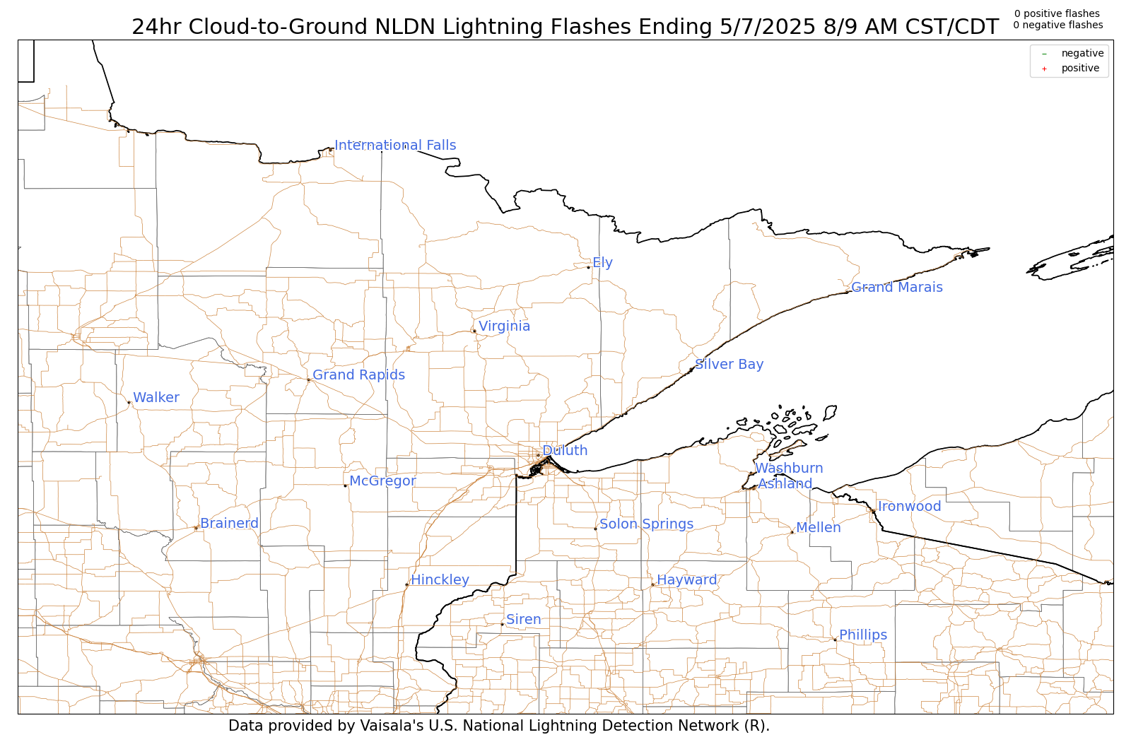
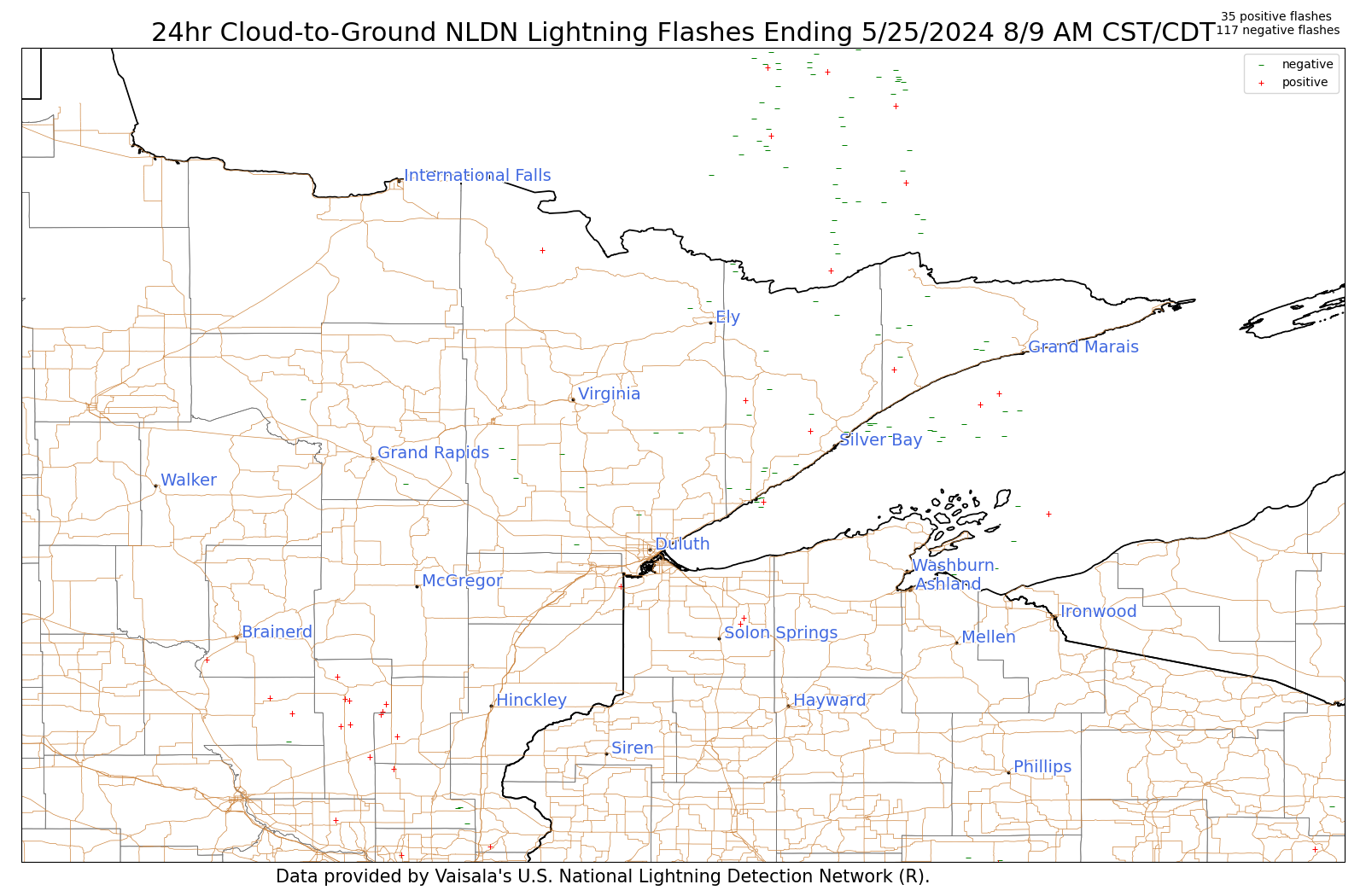
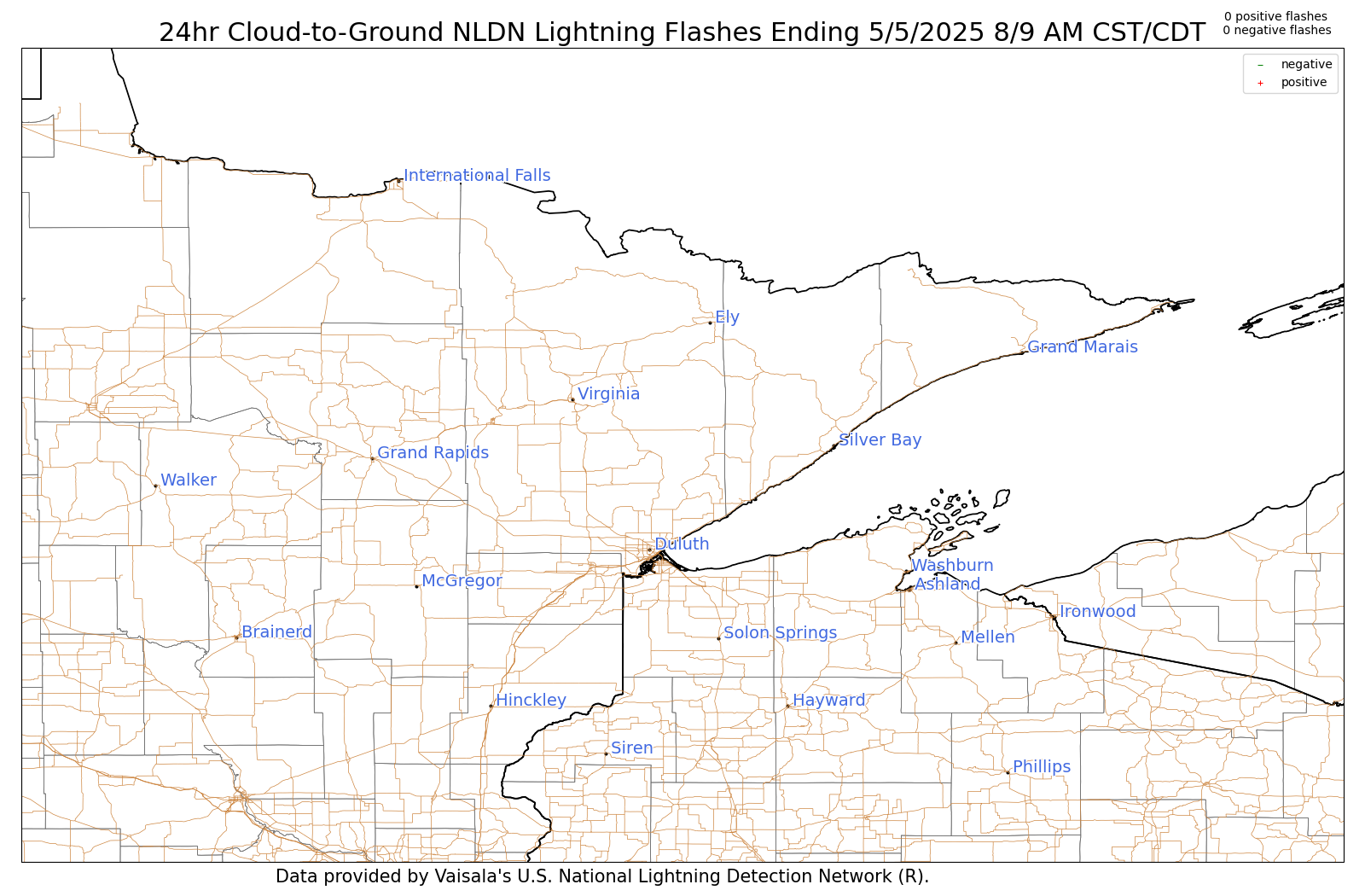
The lightning images below are updated daily around 8:30–9:30 AM and contain 24-h accumulations of lightning ending at 7 am CDT (6 am CST) each day. These images show NLDN cloud-to-ground flashes only and represents cloud-to-ground lightning flashes, and is based on a surface detection network. Larger printable versions are at the bottom of the map segment.
| 24-Hour Cumulative Lightning Strikes |
Yesterday | 2 Days Ago | 3 Days Ago | 4 Days Ago | 5 Days Ago | 6 Days Ago | 7 Days Ago | 8 Days Ago |
 |
||||||||
Printable: Yesterday, 2 Day Ago, 3 Days Ago, 4 Days Ago, 5 Days Ago, 6 Days Ago, 7 Days Ago, 8 Days Ago


Forecasts
Fire Weather
Great Lakes
Local Text Products
Winter Weather
Local Area Forecasts
Aviation
Marine
Rainy River Basin Page
Current Conditions
Current Observations
Public Information Statements
National Snowfall Map
NOHRSC Snow Analysis
Rain/Snow Reports
Winter Monitor
US Dept of Commerce
National Oceanic and Atmospheric Administration
National Weather Service
Duluth, MN
5027 Miller Trunk Highway
Duluth, MN 55811-1442
218-729-6697 - Duluth; 218-283-4615 - Intl Falls
Comments? Questions? Please Contact Us.

