Duluth, MN
Weather Forecast Office
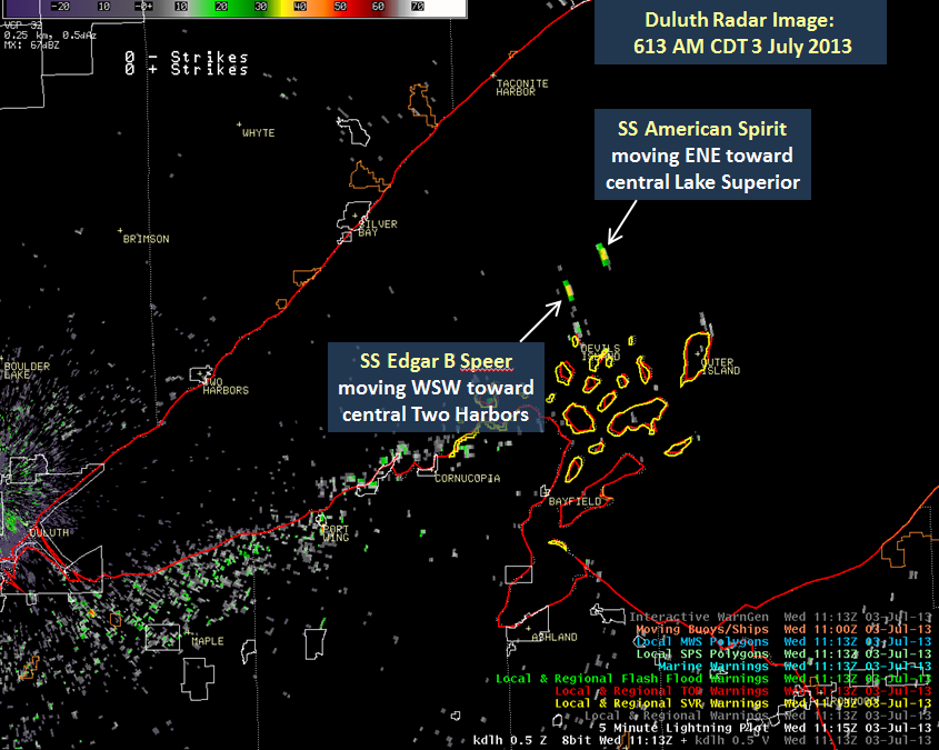
The National Weather Service's weather radar picked up some ships on Lake Superior this morning. It is rare for the radar to "see" anything at ground level because the radar is pointed up to sample the atmosphere, not the ground. However, a rare atmosphere phenomena this morning enabled the radar to see or pick up as targets two ships on Lake Superior. What occurred this morning to the radar beam is an extreme case of superrefraction called "ducting". Superrefraction and ducting of the radar beam occurs where there is a strong low level temperature inversion. An inversion is when a very shallow layer of cold air is top by warmer air above. This usually happens on clear, cool nights with no wind- like last night. When ducting occurs, the radar beam gets trapped under the temperature inversion and cannot get higher into the atmosphere; it becomes trapped. It can remain like this for a couple hours until the sun sufficiently warms the lower levels and "breaks" the inversion. You can learn more about ducting here.
| Below is a static radar image from 613 am CST. The two ships seen on radar are annotated. Click graphic for larger image. |
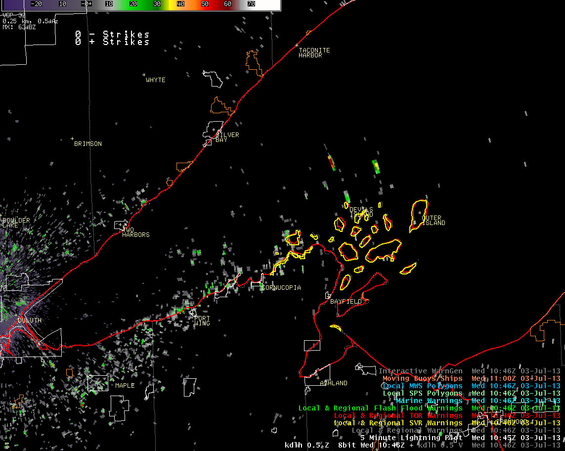
Below is an aimated of the radar images from 546 am until 741 am. Click on the graphic for larger image. |
 |
 |
Forecasts
Fire Weather
Great Lakes
Local Text Products
Winter Weather
Local Area Forecasts
Aviation
Marine
Rainy River Basin Page
Current Conditions
Current Observations
Public Information Statements
National Snowfall Map
NOHRSC Snow Analysis
Rain/Snow Reports
Winter Monitor
US Dept of Commerce
National Oceanic and Atmospheric Administration
National Weather Service
Duluth, MN
5027 Miller Trunk Highway
Duluth, MN 55811-1442
218-729-6697 - Duluth; 218-283-4615 - Intl Falls
Comments? Questions? Please Contact Us.

