
Swells and high surf from both Imelda and Humberto are expected to bring dangerous marine and rip current conditions to the east coast of Florida and Georgia today, spreading north along much of the east coast of the U.S. this week. Heavy rainfall north and west of Imelda falling across coastal Florida and Georgia into the Carolinas could cause isolated flash and urban flooding through Tuesday. Read More >
Last Map Update: Mon, Sep 29, 2025 at 2:18:18 pm PDT


|
Text Product Selector (Selected product opens in current window)
|
|


 KBHX Radar
 Satellite
 Weather Map
 Forecast Weather Tables
 Past Weather Graphs
 Become A Rain/Snow/Hail Observer
 TsunamiReady
 Water Temperatures for NW California
 NW CA Mtn Pass Forecasts
 NW CA Daily Graphicast
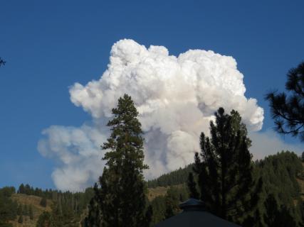 Area Smoke Forecast
 Drought Monitor
 Air Quality
 Winter Weather
 Probabilistic QPF Experiment
 Submit a Storm Report