There is an elevated risk of wildfires in Northeastern Nevada from 11 AM PDT Wednesday morning until 11 PM PDT Wednesday evening. The combination of critically dry fuels, very low relative humidity values, and gusty west to northwest winds can contribute to extreme fire behavior. Any fires that develop will likely spread rapidly. Outdoor burning is not recommended.


 Social Media - Click to view more
 Elko Radar
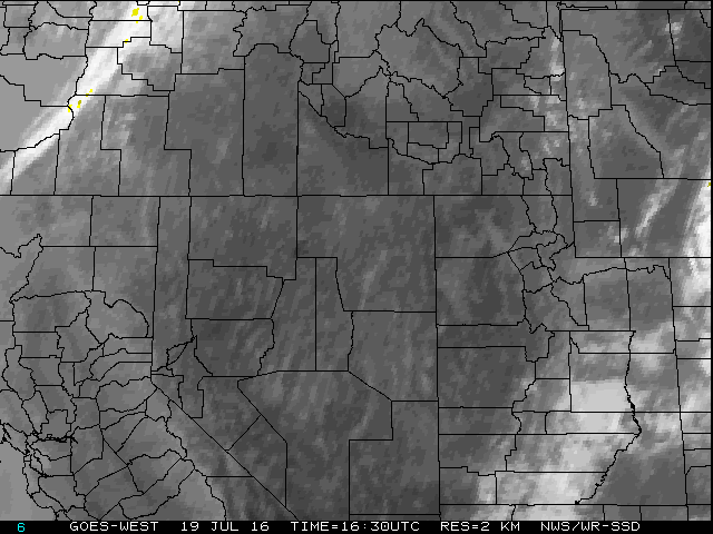 Regional Infrared Satellite Image
 National Weather Map - Click to enlarge
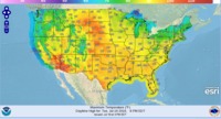 Gridded Forecast Image
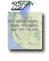 Forecast Weather Tables
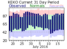 Recent LKN Temperatures
 Satellite-GOES
 Winter Weather
 Weather Stats