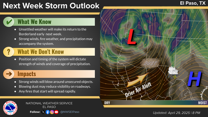
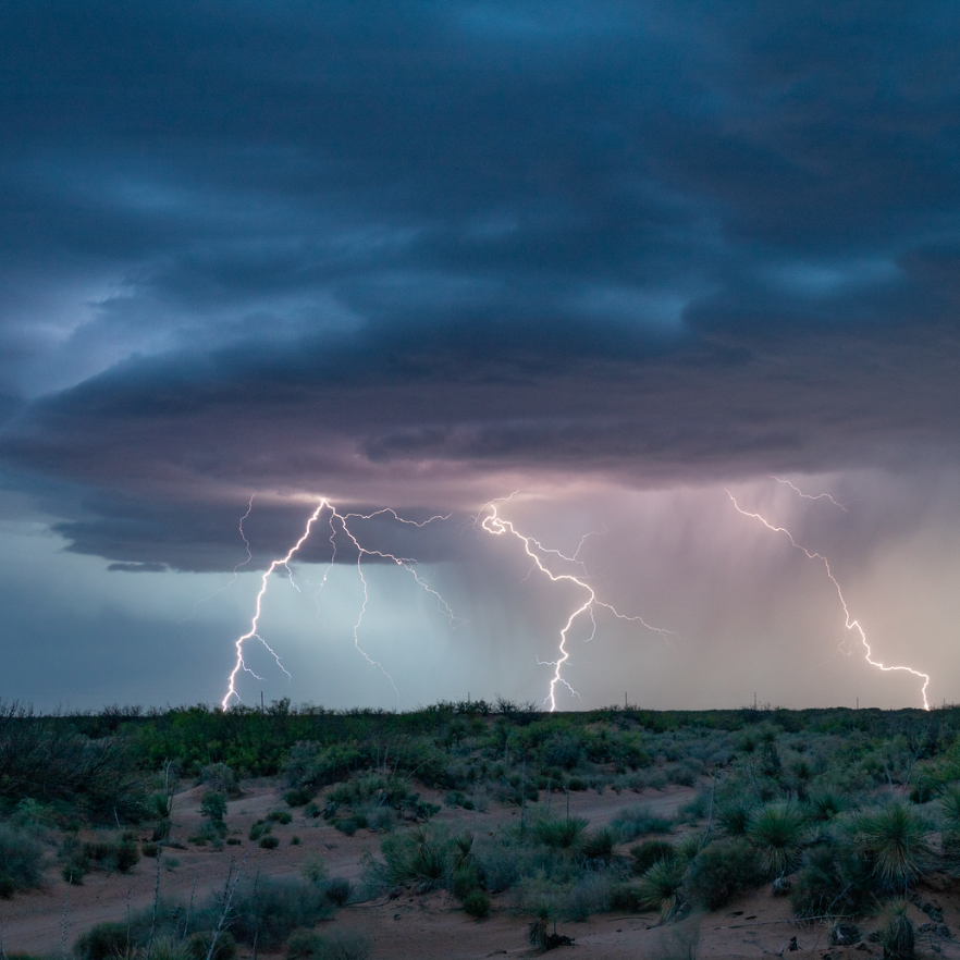
National Weather Service United States Department of Commerce
Click a location below for detailed forecast.

Last Map Update: Wed, Jun 18, 2025 at 10:38:13 pm MDT

This update is intended to give the general public a broad scale overview of weather changes that could impact the Trout Fire through the week.
- Continued dry conditions, but lower wind speeds, are expected Wednesday.
- Winds from the southeast will return Thursday, and could become gusty. They’ll bring in increasing humidity for a few days.
- Early monsoon moisture will try and set up towards the weekend into early next week, but it looks like it’ll favor areas east of the Rio Grande, with breezy southwest winds and drier conditions in SW New Mexico.

The National Weather Service’s primary role with the Trout Fire is to provide direct support to the incident command team. We have a meteorologist on-site at the Incident Operations Center in Silver City. Their forecasts, more detailed than what’s presented here, help keep firefighters safe and influence firefighting strategy and operations.
Trout Fire Information:
The National Weather Service’s primary role with the Trout Fire is to provide direct support to the incident command team. We have a meteorologist on-site at the Incident Operations Center in Silver City. Their forecasts help keep firefighters safe and help determine firefighting strategy and operations.

Local Emergency Management is the authoritative resource for the latest information on evacuations:
https://grantcountynm.gov/ or https://www.facebook.com/GrantCountyNM

Inciweb is a multiagency clearinghouse for fire information, including Daily Operational Update videos, fire maps, community meeting notices, etc.

The Gila National Forest is also posting frequent updates on social media.

The EPA and state agencies monitor air quality and issue alerts. Air Quality data can be found at: https://fire.airnow.gov/.
Highs are forecast to reach around 105F on Thursday in the areas shaded in orange.
Monsoonal moisture is expected to arrive this weekend, bringing with it rain and thunderstorm chances.
A pattern change is on the horizon starting this weekend. A familiar plume of moisture will begin to set up across northern Mexico and reach into New Mexico this weekend, helping to increase storm chances. Meanwhile, a storm system traversing the Great Basin will attempt to force a dry air intrusion into portions of western NM.

Link to Briefing page
Briefing

Forecast
Discussion
Weather Hazards Outlook icon
Weather Hazards
Outlook

Hourly Forecast

Gridded Forecast

Weather Calculator

Link to Observation Page
Current
Observations


Satellite


Climate
Data


Past Weather

Drought

Hydrology

Wx Radio

Skywarn

Fire Weather

Volunteer

Aviation

Social Media