National Weather Service United States Department of Commerce
Click a location below for detailed forecast.

Last Map Update: Wed, Sep 10, 2025 at 5:12:14 pm MDT

There are no watches, warnings, or advisories at this time.

A weak monsoonal moisture plume will develop along the Continental Divide through mid-week, bringing isolated thunderstorms back to southwestern New Mexico. The moisture will increase and spread east towards the weekend, increasing chances for scattered thunderstorms across a wider area.
Upper high over northern Mexico will move to the Texas Panhandle Wedensday afternoon. This will allow relatively moist southerly flow over much of southwest New Mexico. This will give this area, along with the mountains, a slight chance of thunderstorms. High temperatures will continue to run about 4 to 7 degrees above normal.
5 Day Outlook
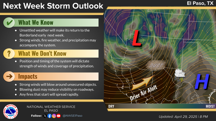
Temperatures will gradually "cool" to near normal by next week.

Link to Briefing page
Briefing

Forecast
Discussion
Weather Hazards Outlook icon
Weather Hazards
Outlook

Hourly Forecast

Gridded Forecast

Weather Calculator

Link to Observation Page
Current
Observations


Satellite


Climate
Data


Past Weather

Drought

Hydrology

Wx Radio

Skywarn

Fire Weather

Vo1lunteer

Aviation

Social Media
   
Weather Digest

Monsoon/Tropical