
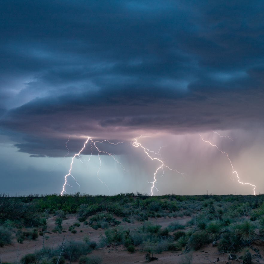
Monsoon moisture will continue to produce areas of heavy to excessive rainfall and potential flooding across the northern Intermountain West today. Debris flows will be possible over recent wildfire burn areas. Heavy to excessive rainfall and flash flooding will be possible across the central Rockies into the south-central Plains and lower Mississippi Valley through Thursday. Read More >
Last Map Update: Wed, Aug 27, 2025 at 1:44:28 pm MDT
 Briefing |
 Forecast Discussion |
 Weather Hazards Outlook |
 Hourly Forecast |
 Gridded Forecast |
 Weather Calculator |
|
|
 Satellite |
|
 Past Weather |
 Drought |
 Hydrology |
 Wx Radio |
 Skywarn |
 Fire Weather |
Vo1lunteer |
 Aviation |
 Social Media |
 Weather Digest |
 Monsoon/Tropical |


 Radar
Radar Weather Map
 Satellite