National Weather Service United States Department of Commerce

Severe Thunderstorms and Heavy Rain from the Plains to the Mid-Atlantic; Ongoing Heat in the South

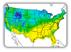
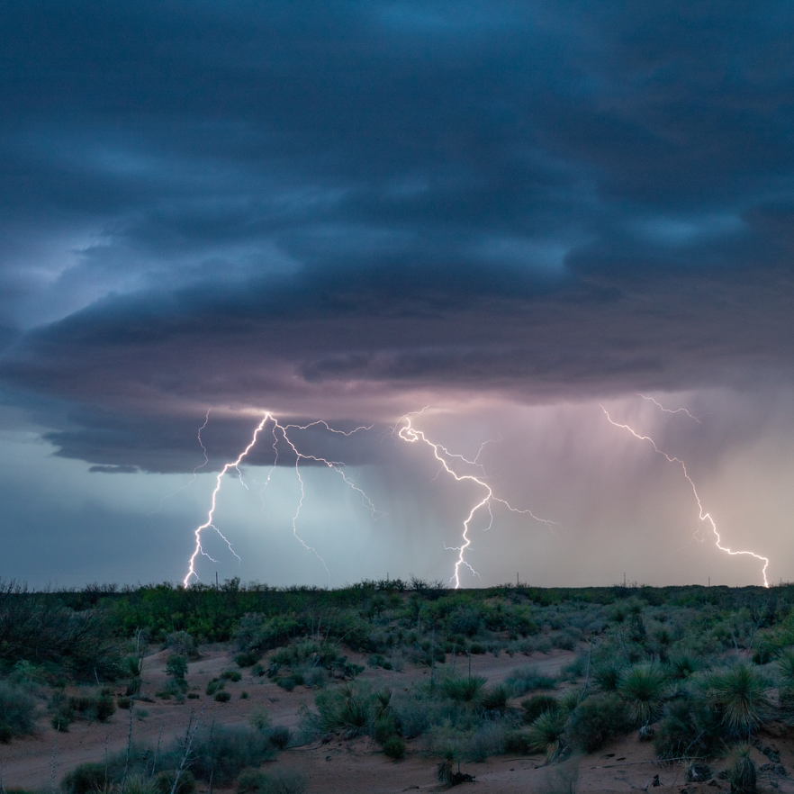
Severe thunderstorms and showers pose a risk for excessive rain, localized flash flooding, strong gusts and/or large hail across portions of the northern and central Plains, the Lower Missouri to Lower Ohio Valleys, and across the Mid-Atlantic this afternoon and evening. Extreme heat is ongoing over the Desert Southwest and the Southeast U.S.. Read More >

Click a location below for detailed forecast.

Last Map Update: Thu, Jul 9, 2026 at 6:10:36 am MDT

Thursday's temperatures will trend hotter than Wednesday's with temperatures rising above the triple digit mark. Skies will range from mostly sunny to partly cloudy, but more moisture will create scattered thunderstorms for the Gila and Sacramento Mountains in the afternoon.

Link to Briefing page
Briefing

Forecast
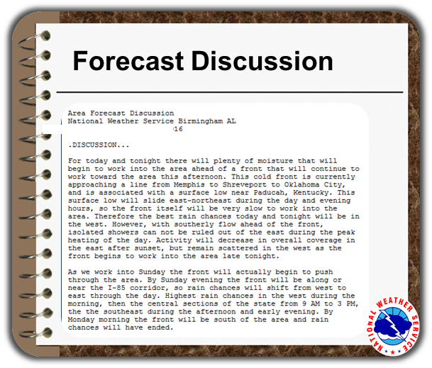
Discussion
Weather Hazards Outlook icon
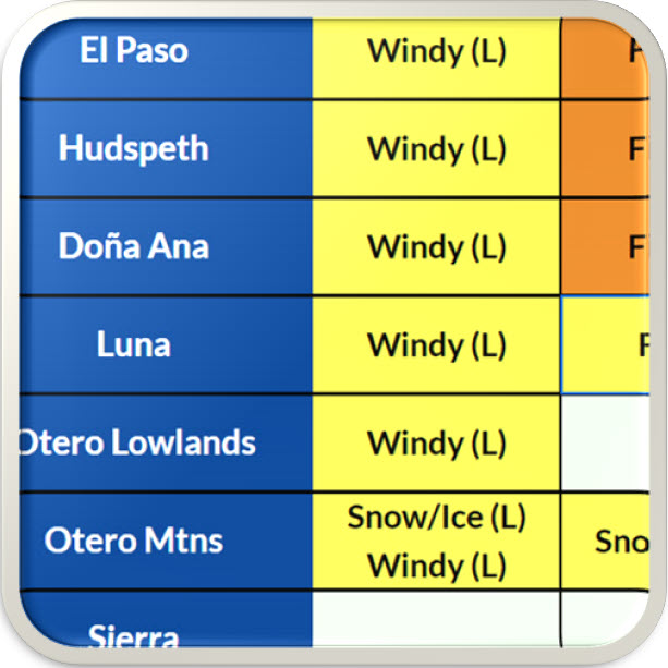
Weather Hazards
Outlook

Hourly Forecast

Gridded Forecast

Weather Calculator

Link to Observation Page
Current
Observations


Satellite


Climate
Data


Past Weather

Drought

Hydrology

Wx Radio

Skywarn

Fire Weather

Vo1lunteer

Aviation

Social Media
   
Weather Digest

Monsoon/Tropical