National Weather Service United States Department of Commerce

Record Heat for the Intermountain West and Northern Plains; Heavy Rainfall and Severe Weather Threats

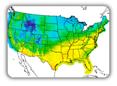
Record setting heat is expected over the next several days from the Intermountain West through the northern Plains. Furthermore, fire weather concerns increase with dry and breezy conditions. Meanwhile, heavy rainfall and severe thunderstorm threats for the Ohio/Tennessee Valleys, central Appalachians and Southeast today. The threat shifts to central Gulf Coast and across central Texas this week. Read More >

Click a location below for detailed forecast.

Last Map Update: Sun, Jul 12, 2026 at 5:36:35 am MDT

There are no watches, warnings, or advisories at this time.

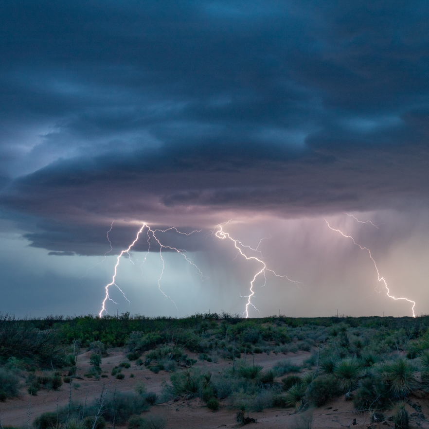
Storm chances increase this week as the monsoon revs up. High pressure aloft sits over the Northern Plains, allowing moisture and disturbances to rotate in from the Gulf. Low threat of flash flooding develops.
El Paso forecast through Thursday with daily storm chances
Another round of showers and thunderstorms is in store for Sunday along with warm temperatures. Scattered mountain and isolated thunderstorms will develop in the afternoon and evening. Strong outflow winds to 40-50 mph will move out of the mountains into the deserts with another potential for blowing dust.

Link to Briefing page
Briefing

Forecast
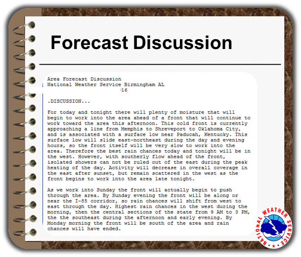
Discussion
Weather Hazards Outlook icon
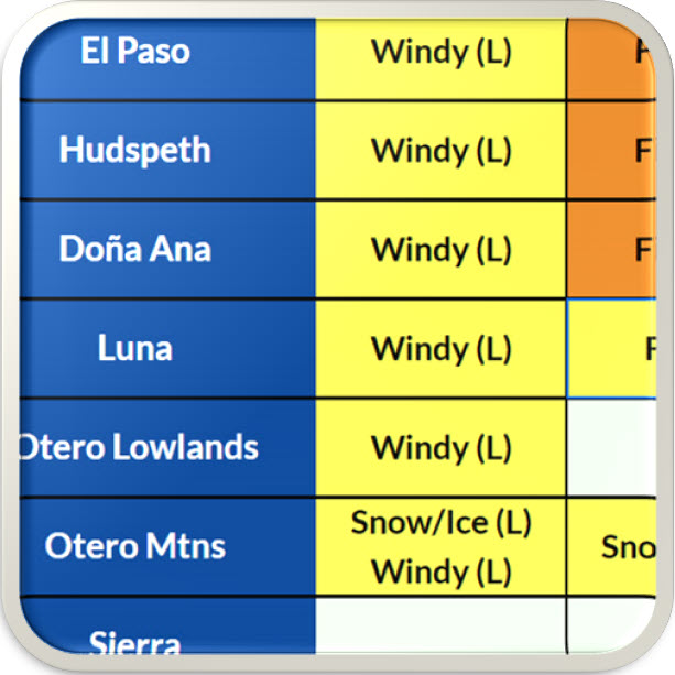
Weather Hazards
Outlook

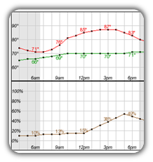
Hourly Forecast

Gridded Forecast

Weather Calculator

Link to Observation Page
Current
Observations


Satellite


Climate
Data


Past Weather

Drought

Hydrology

Wx Radio

Skywarn

Fire Weather

Vo1lunteer

Aviation

Social Media
   
Weather Digest

Monsoon/Tropical