
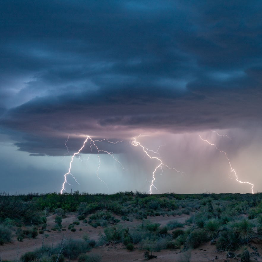
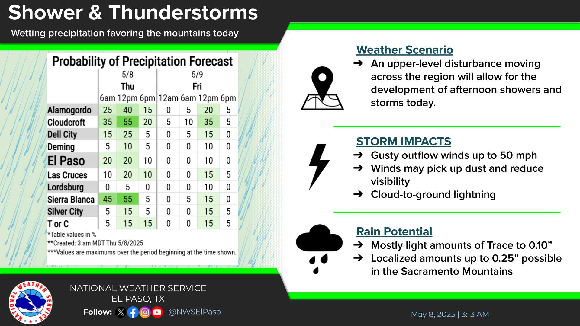
Tropical moisture will surge over the southwest into the central U.S. this week with several days of heavy to excessive rainfall which may bring limited to considerable flooding. Isolated severe thunderstorm gusts and a couple of tornadoes will be possible from southeast New Mexico into west Texas. Read More >
Last Map Update: Mon, Sep 28, 2026 at 9:18:14 pm MDT

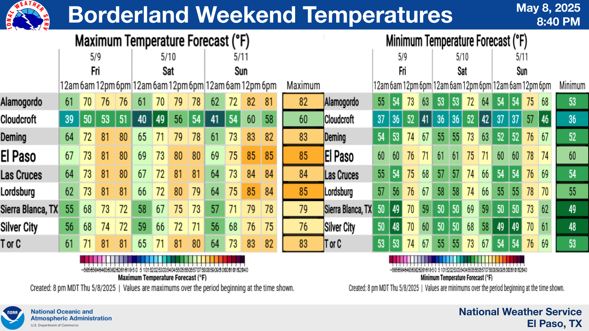
 Briefing |
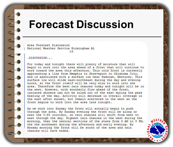 Forecast Discussion |
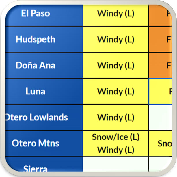 Weather Hazards Outlook |
 Hourly Forecast |
 Gridded Forecast |
 Weather Calculator |
|
|
 Satellite |
|
 Past Weather |
 Drought |
 Hydrology |
 Wx Radio |
 Skywarn |
 Fire Weather |
 Vo1lunteer |
 Aviation |
 Social Media |
 Weather Digest |
 Monsoon/Tropical |










 Radar
Radar Weather Map
 Satellite
 Follow us on X
 Follow us on Facebook
 Follow us on YouTube
 EPZ RSS Feed