
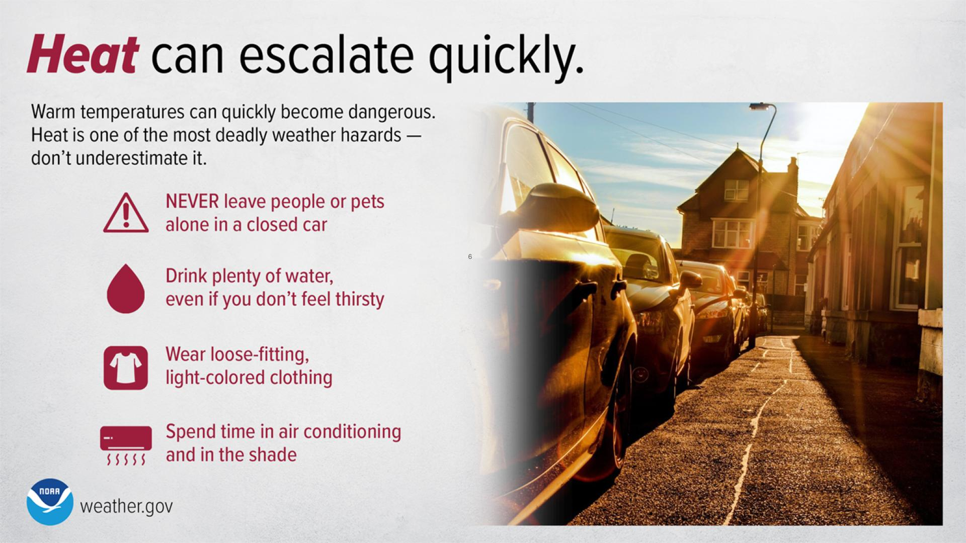
Dangerous heat persists across the Desert Southwest through this weekend and across the Southern Plains and Lower Mississippi Valley through at least the middle of next week. Numerous daily record high temperatures are expected through at least Tuesday for much of Texas and Oklahoma as well as portions of Louisiana, New Mexico, and Arizona. Read More >
Last Map Update: Fri, Aug 21, 2026 at 7:52:41 pm MDT

 Briefing |
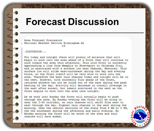 Forecast Discussion |
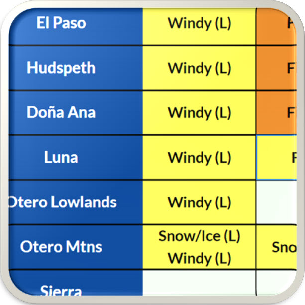 Weather Hazards Outlook |
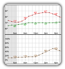 Hourly Forecast |
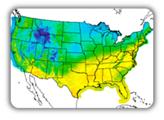 Gridded Forecast |
 Weather Calculator |
|
|
 Satellite |
|
 Past Weather |
 Drought |
 Hydrology |
 Wx Radio |
 Skywarn |
 Fire Weather |
 Vo1lunteer |
 Aviation |
 Social Media |
 Weather Digest |
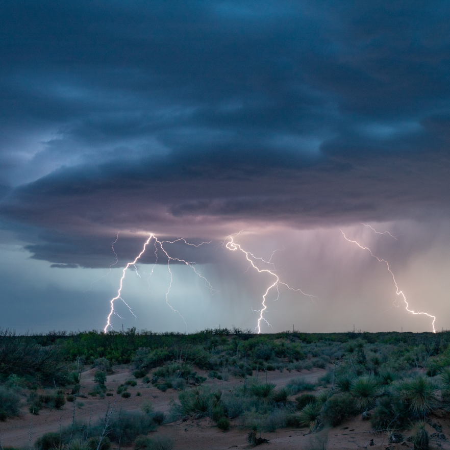 Monsoon/Tropical |






 Radar
Radar Weather Map
 Satellite
 Follow us on X
 Follow us on Facebook
 Follow us on YouTube
 EPZ RSS Feed