National Weather Service United States Department of Commerce

Nor'Easter Continues to Bring Heavy Rain and Coastal Impacts; Nolo Continues to Impact Hawaii

The nor’easter will weaken tonight, easing beach conditions and coastal flooding, though locally heavy rain will continue in parts of the Mid-Atlantic and New England into Monday. Hurricane Nolo continues to bring strong winds and large waves to Hawaii, though heavy rain and flooding threats are diminishing as it moves away. A multi-day rain event will return to the Four Corners region. Read More >

Click a location below for detailed forecast.

Last Map Update: Sun, Sep 27, 2026 at 12:22:46 pm MDT

High pressure aloft should give us plenty of sunshine Sunday. Some moisture could trickle up from Mexico late in the day, giving the New Mexico Bootheel a slight chance of a storm. Temperatures near seasonable levels.
A Flood Watch is in effect area-wide from Monday afternoon through Tuesday night.
More tropical moisture is scooped up into our region Monday and Tuesday, resulting in widespread showers and storms. Flash flooding will be a threat once again.
Mon-Tue Rainfall
Scattered instances of heavy rainfall resulting in flash flooding are forecast from late Monday through Tuesday night.
Flood Safety

Link to Briefing page
Briefing

Forecast
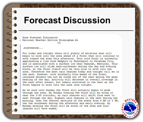
Discussion
Weather Hazards Outlook icon
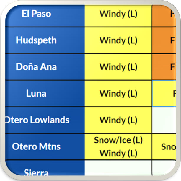
Weather Hazards
Outlook

Hourly Forecast

Gridded Forecast

Weather Calculator

Link to Observation Page
Current
Observations


Satellite


Climate
Data


Past Weather

Drought

Hydrology

Wx Radio

Skywarn

Fire Weather

Vo1lunteer

Aviation

Social Media
   
Weather Digest

Monsoon/Tropical