Sioux Falls, SD
Weather Forecast Office
On July 1, an High Precipitation supercell moved across southeast South Dakota into southwest Minnesota. This storm produce 2 tornadoes, hail up to the size of tennis balls (2.5 inches) and wind speeds well in excess of 80 mph. There was significant damage to trees and some buildings in Wentworth and Flandreau in South Dakota and to Marshall, Balatin, and Lake Benton in Minnesota. There were also two tornadoes with the storm – an EF2 tornado that hit Tyler, Minnesota and an EF1 tornado that hit Ruthton, Minnesota.
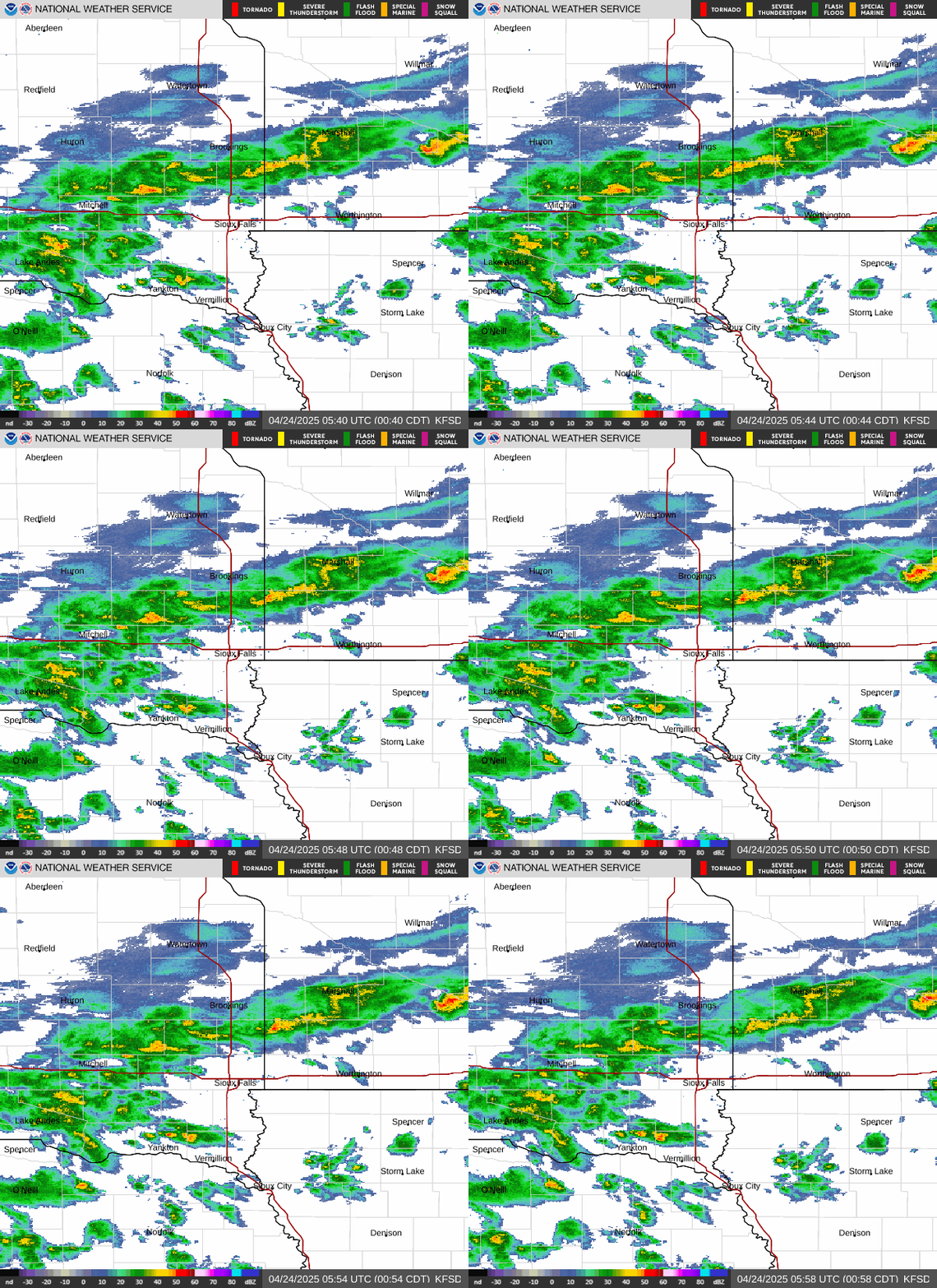
Images of the storms from the WSR-88D radar in Sioux Falls, South Dakota can be viewed in PDF format:
PDF (File Size: ~3MB) (https://weather.gov/media/fsd/pdf/July_1_2011_HP.pdf)
Popular Pages
Past Weather Events
Regional Weather Roundup
Daily Temp/Precip
Hazardous Weather
Local Climate Archives
Climate Graphs and Data
Seasonal
EvapoTranspiration
Fire Weather
Grassland Fire Danger
Flooding (River)
Summer Weather
Travel Forecasts
Winter Weather
Winter Preparedness
Forecast Snowfall Graphic
Winter Temp Climatology
US Dept of Commerce
National Oceanic and Atmospheric Administration
National Weather Service
Sioux Falls, SD
26 Weather Lane
Sioux Falls, SD 57104-0198
605-330-4247
Comments? Questions? Please Contact Us.


 Weather Story
 Weather Map
 Local Radar