Overview
|
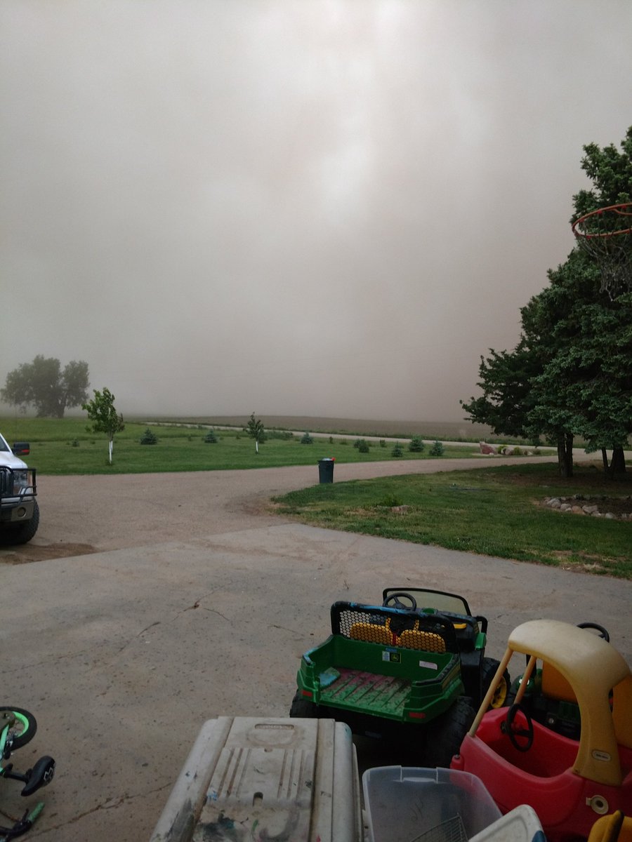
A line of thunderstorm moved through the the region in the evening and overnight hours. Localized areas of damaging winds were reported along with reduced visibility from blowing dust. Strong winds were also observed behind the line of storms as a wake low developed. |
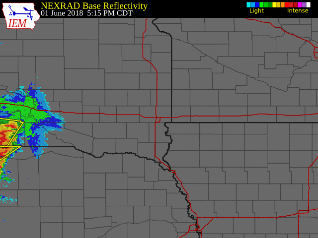 Radar Loop From Friday Evening |
Photos & Video:
Header
 |
 |
 |
 |
|
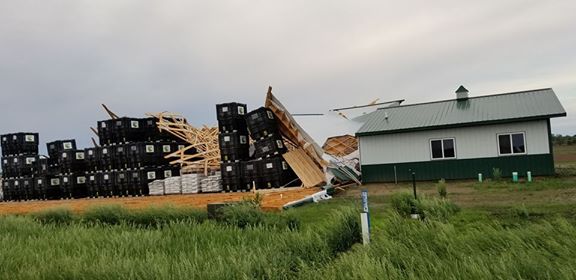
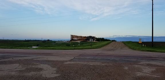
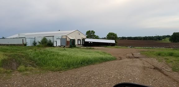
1 mile N of Alcester, SD (Picture courtesy of Lonnie Johnson) |
1 mile N of Alcester, SD (Picture courtesy of Lonnie Johnson) |
1 mile N of Alcester, SD (Picture courtesy of Lonnie Johnson) |
Near Platte, SD of the Blowing Dust (Picture courtesy of Bill Nachtigal) |
Radar:
Header
|
|||
| Radar Loop Friday Evening/Overnight |
Storm Reports
0600 PM     TSTM WND DMG     1 NW GREGORY            43.24N 99.43W
06/01/2018                   GREGORY            SD   TRAINED SPOTTER

            MATURE TREES DOWNED.

0630 PM     TSTM WND DMG     12 WNW PLATTE           43.47N 99.05W
06/01/2018                   CHARLES MIX        SD   PUBLIC

            EST. 70-80 MPH WINDS. BRANCHES DOWN. GRAIN TRAILERS
            TIPPED OVER. PENNY SIZED HAIL.

0928 PM     TSTM WND GST     1 N PARKER              43.41N 97.14W
06/01/2018  M63 MPH          TURNER             SD   STORM CHASER

            REPORT VIA SOCIAL MEDIA.
1017 PM     TSTM WND DMG     1 N ALCESTER            43.04N 96.63W
06/01/2018                   UNION              SD   EMERGENCY MNGR

            MORTON BUILDING DESTROYED.
1131 PM     TSTM WND GST     2 W SERGEANT BLUFF      42.40N 96.39W
06/01/2018  M60 MPH          WOODBURY           IA   ASOS
 |
Media use of NWS Web News Stories is encouraged! Please acknowledge the NWS as the source of any news information accessed from this site. |
|


 Weather Story
 Weather Map
 Local Radar